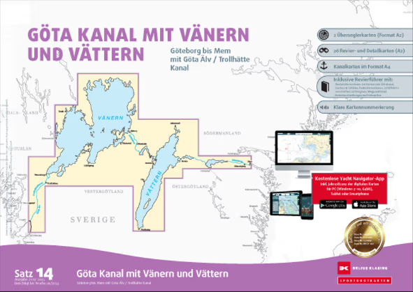
Delius Klasing Sportbootkarten Satz 14: Götakanal mit Vänern und Vättern

Chart ID: DEKL Satz 14

€99.90*


Product number: 21317

Description

Delius Klasing Sport Boat Charts Set 14 Göta Canal with Vänern and Vättern

The Delius Klasing Sport Boat Charts Set 14 contains 3 overseeing charts as well as 23 district and detail charts for navigation on the Göta Canal with Vänern Vättern Göta Älv and Trollhätte Canal (Göteborg to Mem).

Included in this chart set:

  • 3 overseeing charts
  • 23 district and detail charts
  •  Cruising guide with 16 pages of cruising information including 21 harbour plans and 26 canal charts for the Göta Canal
  • One-year licence for using the chart set as a digital chart on PC tablet and smartphone

The Delius Klasing sports boat charts have a handy format of 60 cm x 42 cm (DIN A2). A sturdy plastic bag ensures that you can transport the charts easily and stow them safely on board.

Digital nautical chart for PC tablet and smartphone free of charge

This chart set comes with a CD-ROM for installing the navigation programme "Yacht Navigator" on Windows PCs. After redeeming the enclosed licence code the chart set "Set 14: Göta Canal" is installed in Yacht Navigator so that you can also use this chart set digitally.

Once the chart set has been successfully installed you can also use the digital chart on your tablet and smartphone - the necessary app "Yacht Navigator" is available free of charge from the App Store and Google Play. You can use the digital nautical chart free of charge for 365 days from the date of activation on all your devices in the Yacht Navigator apps registered to you.

Clear chart design:

With the optimised page cut chart numbering and colour guidance system you can orientate yourself quickly and navigate comfortably. The red 2-m and 3-m depth contours are also marked on the nautical charts. The detailed depth illustrations ensure that you can also use the nautical charts away from the fairways and close to the coast.

In addition there is the fine graphic preparation of the charts. Very fine lines white paper combined with clear blue colours for the different depth ranges of the water areas coloured buoy symbols as well as a less eye-catching colour for underwater cables and traffic separation areas for example increase the quick and clear readability compared to official charts.

Additionally well informed: The cruising guide

This recreational boating chart comes with an extended cruising guide containing information on the cruising area (for example bridge and lock opening times information on weather conditions and currents as well as sources for marine weather reports radio information) a waypoint list entries on the most important harbours as well as 26 channel maps for the Göta Canal. For the ports presented there is a port plan as far as available as well as a descriptive text with information on the approach and the infrastructure of the port.

The following charts are included in the recreational boating chart set 14: 

Vänern SW: Dalbosjön    1:200 000 Vänern: Sjötorp - Mariestad    1:50 000 Vänern: Djurö - Brommö    1:50 000 Vänern: Lurö Skärgård Overview    1:50 000 Vänern: Kinneviken - Lidköping    1:50 000 Vänern: Pålgrunden West    1:50 000 Vänern: Megrundet Köpmannehamn - Hjortgrund    1:50 000 Vänern: Hjortgrund - Stefanskullen    1:50 000 Vänern: Vänersborgsviken    1:50 000 Vänern: Lurö Skärgård Nord    1:25 000 Vänern: Lurö Skärgård South    1:25 000 Vänern: Ekens Skärgård    1:25 000 Vänern: Ullersundet    1:25 000 Vänern: Marpilen - Fällholmen    1:50 000 Vänern: Approach to Kristinehamn    1:50 000 Vänern: Härö Nygrund - Säterholmsfjärden    1:50 000 Vänern: Karlstad    1:50 000 Vänern: Åsfjorden - Kattfjorden    1:50 000 Vänern: Åsfjorden - Grumsfjorden    1:50 000 Vänern: East coast Värmlandsnäs    1:50 000 Vänern: Millesviks- to Lurö Skärgård    1:50 000 Vänern. Approach Åmål to Bäröfjärden    1:50 000 Vänern: Tössebäcks Skärgård to Köpmannebro    1:50 000 Vättern: North part    1:100 000 Vättern: Middle part    1:100 000 Vättern: South part    1:100 000 Vättern: Stora Röknen - Askersund    1:50 000

 
Format: Plano & Einzelkarten
Area preview

With the help of our area preview, you can get an impression of which geographical region the product deals with or which areas a nautical chart covers.

Other customers bought also

Other customers bought also

Gebietsvorschau für NV Binnenband 8 Göta Kanal & Trollhätte Kanal öffnen
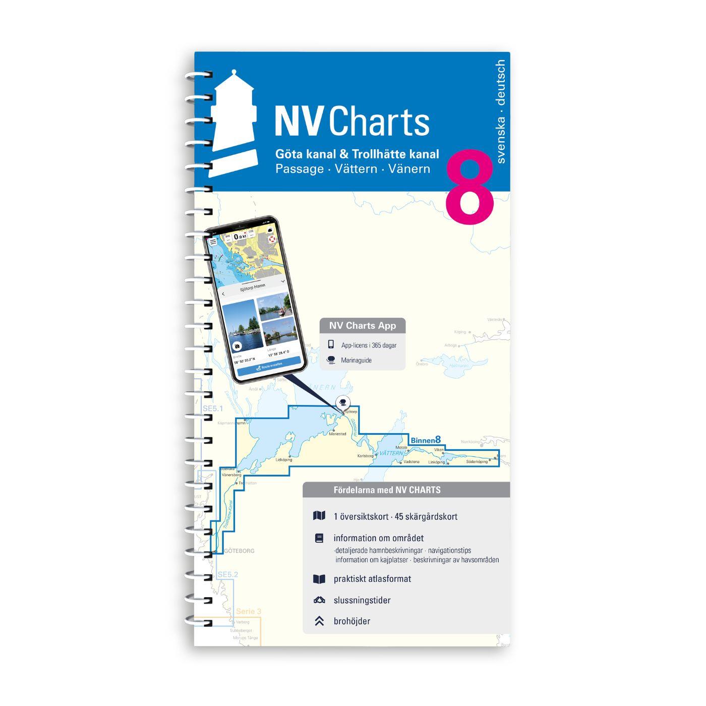
NV Binnenband 8 Göta Kanal & Trollhätte Kanal
Swedens blue ribbon of 190 km in length - is probably one of the most scenic waterways in Europe. Every water sports enthusiast would like to pass the 58 locks downhill and uphill the pictur

€44.99*
Gebietsvorschau für Hamnguiden 9 - Götakanal öffnen
Hamnguiden 9 - Götakanal
This is the best choice - the Göta Canal from above with Vänern and Vättern!A new edition of the Göta Canal Hamneguide was published in 2020. There is no more detailed guide to Sweden's blue ribb

€74.90*
Gebietsvorschau für Törnführer Schweden 2 - Südküste - Ostküste - Öland - Gotland öffnen
Törnführer Schweden 2 - Südküste - Ostküste - Öland - Gotland
South Coast - East Coast - Öland - GotlandCountless small rocky islands picturesque towns with colourful wooden houses and idyllic anchor bays this is what the region is known for and invites you

€39.90*

Reviews

0 of 0 reviews

Leave a review!

Share your experiences with other customers.


Gebietsvorschau für Swedish Series Bottenhavet S Södra öffnen
Swedish Series Bottenhavet S Södra
The Swedish recreational boating chart set Bottenhavet S Södra is the southernmost of the three Swedish chart sets for the Gulf of Bothnia and the direct link to the Stockolm Norra chart set. This map

€78.00*
Gebietsvorschau für NV Pilot 1, planning chart Baltic Sea - Kristiansand to Helsinki öffnen
NV Pilot 1, planning chart Baltic Sea - Kristiansand to Helsinki
NV Pilot 1, planning chart Baltic Sea - Kristiansand to HelsinkiThe Pilot 1 from NV Charts is an indispensable planning chart if you want to prepare for a Baltic Sea cruise. This chart for this popula

€24.99*
Gebietsvorschau für NV Charts Sverige SE 5.1 - Svenska Västkusten Norra öffnen
NV Charts Sverige SE 5.1 - Svenska Västkusten Norra
To get to the Oslofjord via the Swedish West Coast, there is no way around the NV Charts Atlas Series 5.1 Svenska Västkusten Norra past. This chart series, specially designed for recreational boating,

€69.90*
Gebietsvorschau für Swedish Series Bottenhavet N Norra öffnen
Swedish Series Bottenhavet N Norra
The Swedish Bottenhavet N Norra series covers the central Swedish coastal section in the Gulf of Bothnia. This stretches from Sundsvall in the south to Sikå in the north.This map set is mainly at a sc

€78.00*
Gebietsvorschau für Swedish Series Stockholm M Mellersta öffnen
Swedish Series Stockholm M Mellersta
In this set of official Swedish recreational boat charts (Båtsportkort) Stockholm Mellersta (centre) the Swedish capital Stockholm with its southern and central approaches is depicted i

€78.00*
Gebietsvorschau für Schwedische Serie Sydkusten öffnen
Schwedische Serie Sydkusten
This official Swedish recreational chart set (Båtsportkort) Sydkusten (Skåne) covers the area from Kullen to Simrishamn. In addition to the Swedish coast the Danish coast including Copenhagen and Köge

€78.00*
Gebietsvorschau für Schwed. Serie Västkusten N öffnen
Schwed. Serie Västkusten N
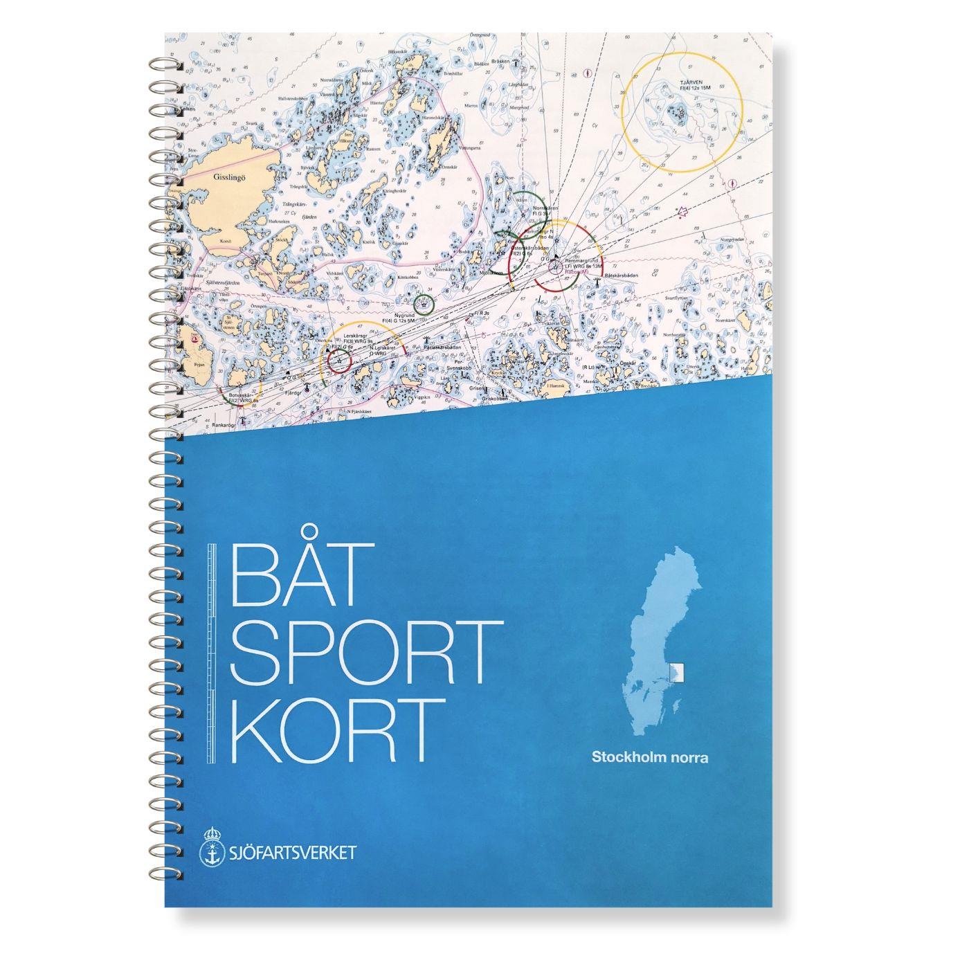
Svinesund to Måseskär. Format 30 x 42 cm spiral binding.

€78.00*
Gebietsvorschau für Swedish series Mälaren - Hjälmaren öffnen
Swedish series Mälaren - Hjälmaren
In this official Swedish recreational boating chart set Mälaren- Hjälmaren the popular Swedish inland waterways Mälaren and Hjälmaren are covered. This extends from Stockholm into the Mälare

€78.00*
Gebietsvorschau für Hamnguiden 9 - Götakanal öffnen
Hamnguiden 9 - Götakanal
This is the best choice - the Göta Canal from above with Vänern and Vättern!A new edition of the Göta Canal Hamneguide was published in 2020. There is no more detailed guide to Sweden's blue ribb

€74.90*
Gebietsvorschau für Schwedische Serie Vänern öffnen
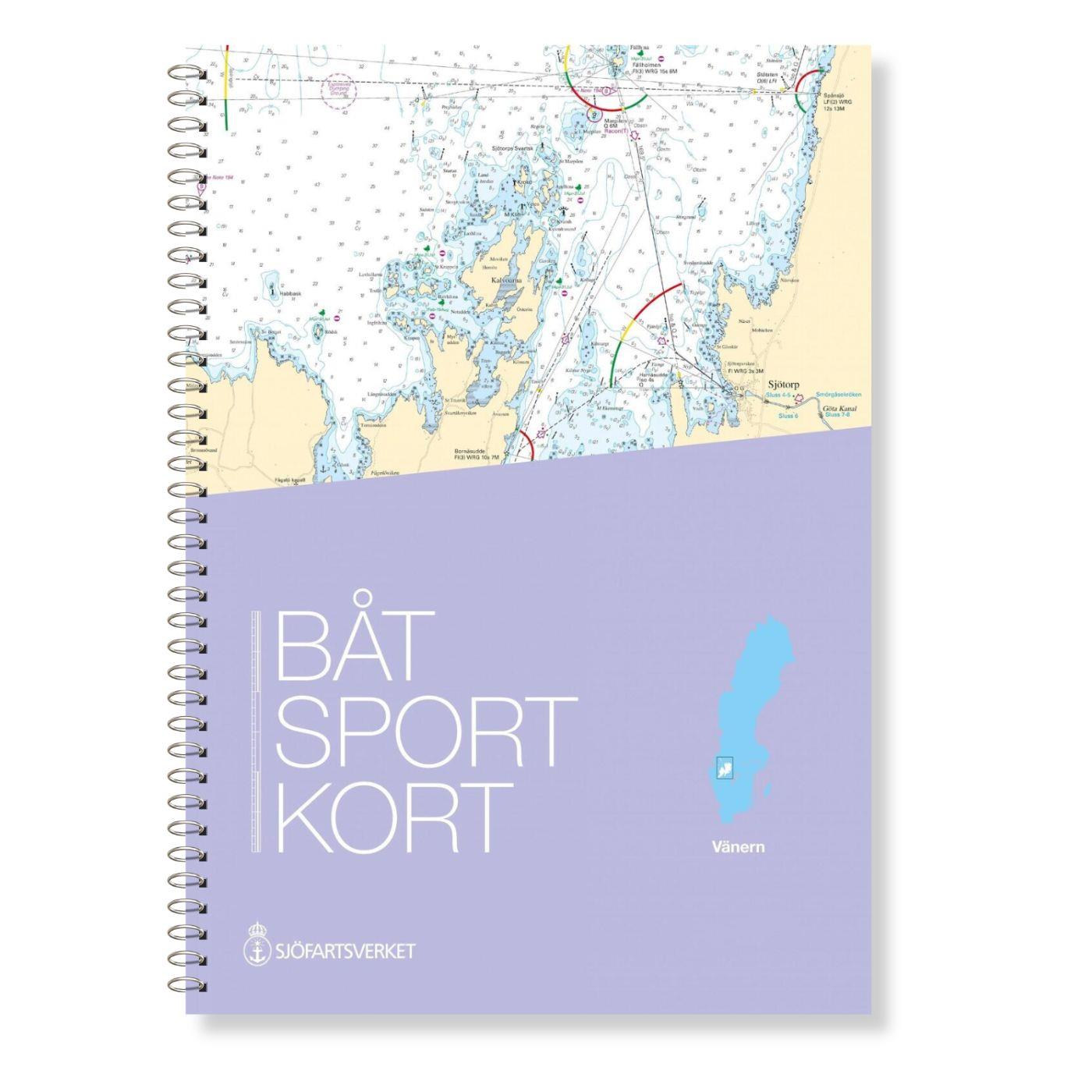
Schwedische Serie Vänern
The Swedish sport boat chart set Vänern covers Swedens largest lake. This stretches Vänersborg with access into the Trollhättankanal in the west and  in the east with access into the Götakanal at

€78.00*
Gebietsvorschau für NV Charts Box North Germany to Norwegian border Region 1, 2, 3, 5.1, 5.2  öffnen
-33 %
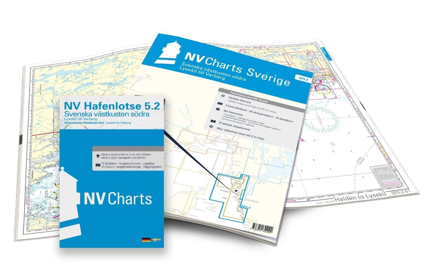
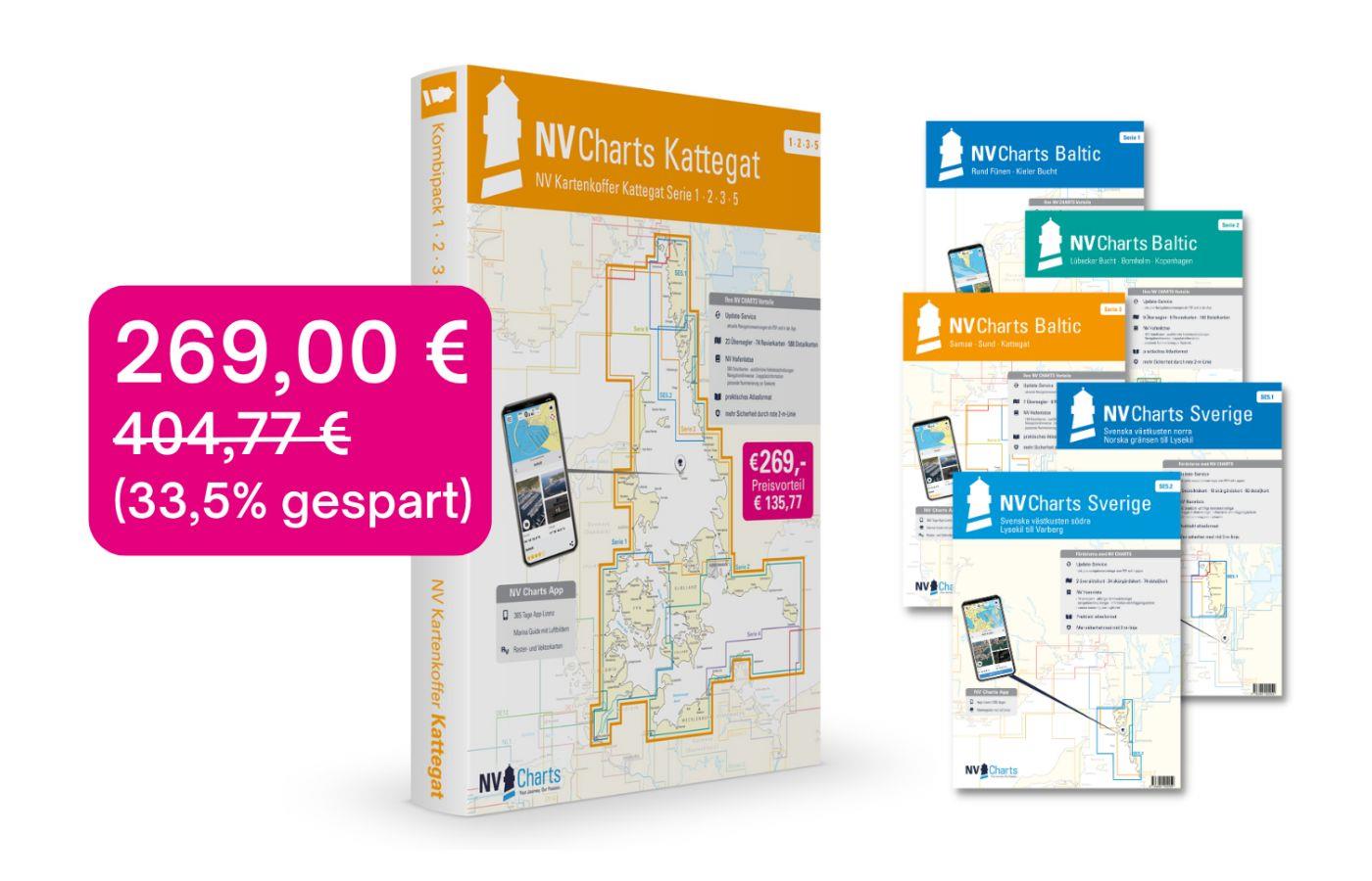
NV Charts Box North Germany to Norwegian border Region 1, 2, 3, 5.1, 5.2
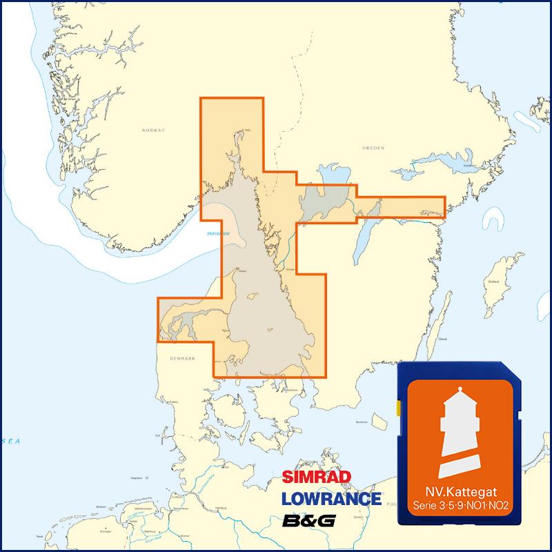
Those looking to save while still being optimally equipped to travel from Kiel Bay to the Norwegian border will be very well served by the NV Atlas Kattegat Case . The Kattegat Case includes the Serie

€269.00* €404.77* (33.54% saved)
Gebietsvorschau für NV Binnenband 8 Göta Kanal & Trollhätte Kanal öffnen
NV Binnenband 8 Göta Kanal & Trollhätte Kanal
Swedens blue ribbon of 190 km in length - is probably one of the most scenic waterways in Europe. Every water sports enthusiast would like to pass the 58 locks downhill and uphill the pictur

€44.99*