Skip to main content Skip to search Skip to main navigation

Product information "NV Charts Box North Germany to Norwegian border Region 1, 2, 3, 5.1, 5.2 "

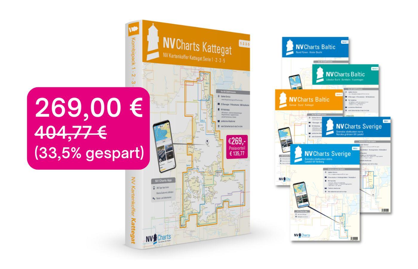
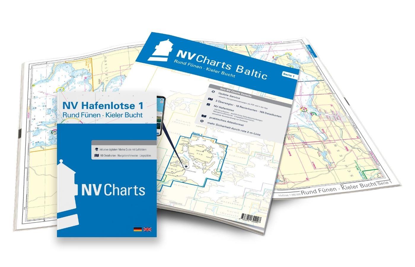
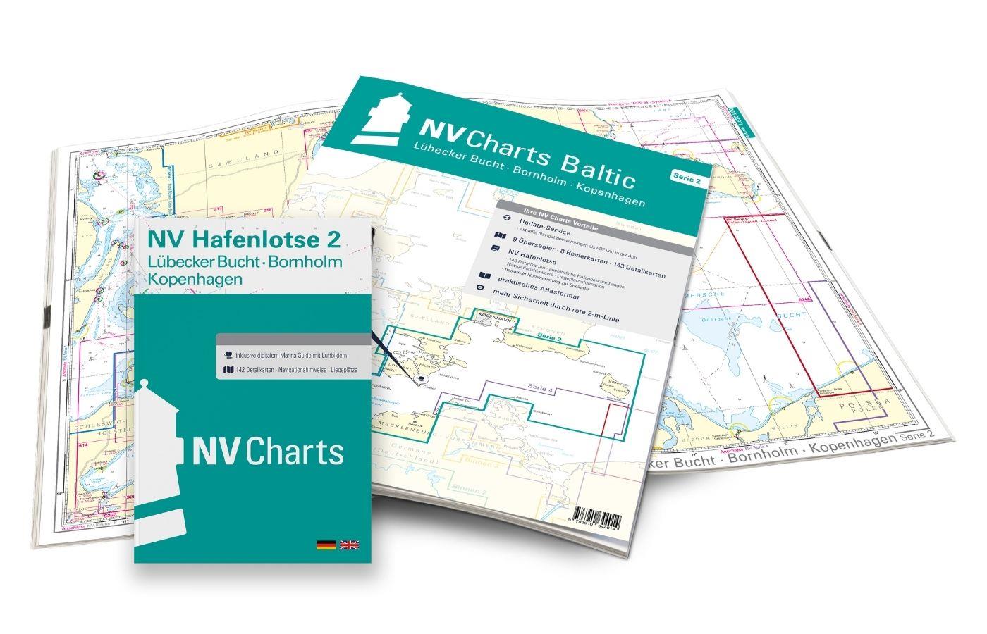
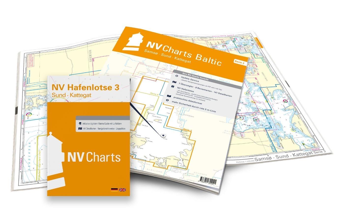
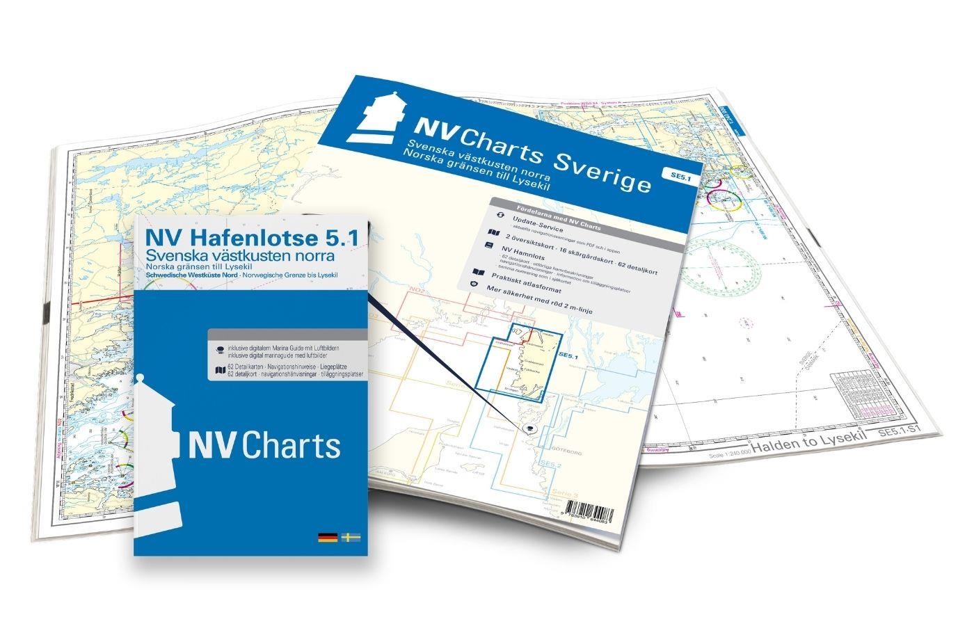
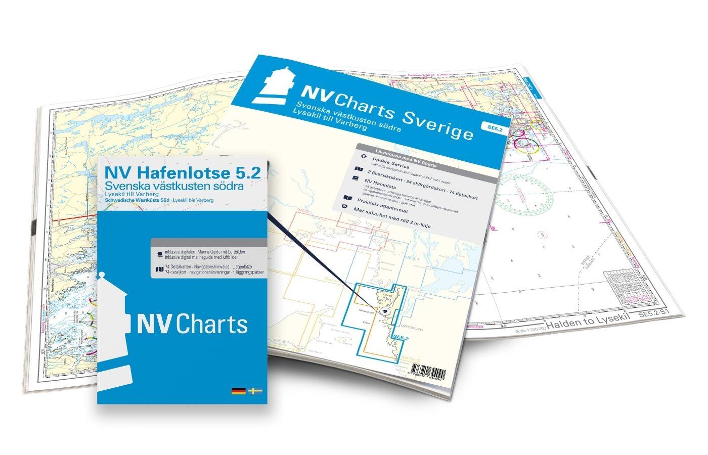
Those looking to save while still being optimally equipped to travel from Kiel Bay to the Norwegian border will be very well served by the NV Atlas Kattegat Case . The Kattegat Case includes the Series 1, 2, 3 and instead of Series 4 (Rügen), the two chart sets 5.2 and 5.1 , to reach the Swedish west coast up to the Norwegian border towards the Oslofjord. Also, purchasing this case results in a significant price advantage compared to buying the individual charts.

The handy sports boat charts are a specifically designed chart work for recreational boating. Charts for the Kattegat area include sea charts in various scales, as well as all harbor plans and details for approaches and passages in the waters. In addition, clearance heights for bridges, high-voltage lines, etc., as well as all nautical and navigational necessary information are included. Thanks to the clear structure, the recreational sailor quickly finds accesses, harbors, and anchorages and is pointed to important navigational details, which also appear in the NV Charts App. The chart work impresses with its detailed scales and optimal sheet cuts.

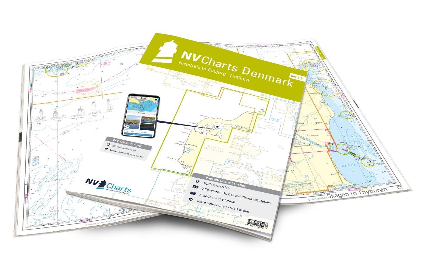
Tip: Those wishing to travel through Sweden's west coast via the Göta Canal should definitely have the NV Binnen 8 (Göta Canal passage) on board. For a detour to the Limfjord, Series 9 is recommended, and for those interested in the Oslofjord, having NO1 and 2 is advisable.

This chart set includes

  • 23 overview charts
  • 74 area charts
  • 588 detailed charts
  • Digital charts for navigation program and NV Charts App 356-day license
  • Harbor pilot in paper/digital in German and English language
  • Vector charts download
  • Navigation instructions in German
  • Meets all legal requirements for up-to-date paper sea charts on board

All advantages at a glance

  • NV Atlas Charts Format: practical, handy atlas format, opened in A2, closed in A3 format, middle flat stapling - allows easy work with the course triangle
  • Always up-to-date: annually updated edition, monthly correction service from April to October
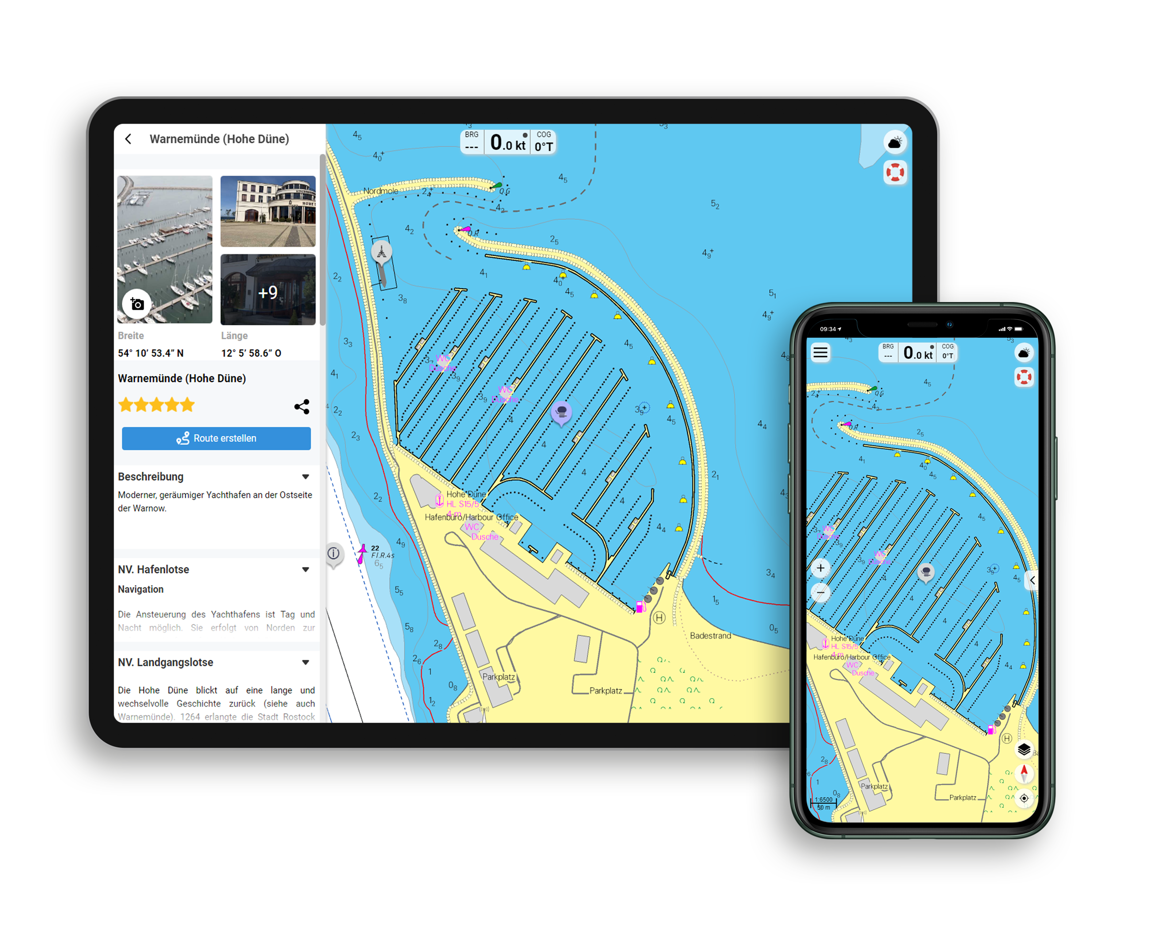
  • NV Charts App: includes access code to the digital sea charts of the purchased area in the NV Charts App with a 365-day license, for offline navigation with the app on iOS, Android, PC, Mac, or in the web browser, extensive harbor manual
  • Extremely detailed: Sea charts based on data from official surveys and own surveys, especially detailed outside the main waterways
  • Optimized for recreational boating

Features of the NV Charts App

  • Flexible Autorouting
  • Satellite Overlay
  • Augmented Reality
  • VMG (Velocity Made Good)
  • BoatView Harbor Guide
  • Track recording
  • AIS integration and more.
Learn more

Included charts and scales

Overview charts

Overview chart Series 1 1 : 370.000 , S 1 Kiel Bay 1 : 140.000 , Overview chart Series 2 1 :520.000 , S 15 Mecklenburg Bay 1 :150.000 , S 16 Møn Southeast 1 :150.000 , S 22 Hanö Bay 1 :260.000 , S 23 Sound South 1 :140.000 , S 24 Klintholm to Bornholm 1 :220.000 , S 25 Bornholm 1 :140.000 , Overview chart Series 3 1 : 520.000 , Skagerrak 1 : 500.000 , S 30 Kattegat South 1 : 180.000 , S 31 Kattegat Middle 1 : 180.000 , S 32 Kattegat North 1 : 180.000 , S1 Halden to Lysekil 1: 240.000 , S2 Lysekil to Varberg 1: 240.000 , Pilot Chart Anholt-Færder-Jomfruland 1: 750.000

Area charts

S 2 Kiel Fjord 1 : 40.000 , S 3 Kiel Bay Southwest 1 : 80.000 , S 4 Flensburg Fjord 1 : 80.000 , S 5 Little Belt South 1 : 80.000 , S 6 Little Belt Middle 1 : 80.000 , S 7 Little Belt North 1 : 80.000 , S 8 North Funen 1 : 80.000 , S 9 Great Belt North 1 : 80.000 , S 10 Great Belt Middle 1 : 80.000 , S 11 Great Belt South 1 : 80.000 , S 12 South Funen 1 : 80.000 , Schlei 1 + 2 1 : 35.000 , NOK Kiel Canal 1 + 2 (5 charts) 1 : 55.000 , S 13 Fehmarn 1 : 80.000 , S 14 Lübeck Bay 1 : 80.000 , S 17 Smålandshavet West 1 : 80.000 , S 18 Smålandshavet East 1 : 80.000 , S 19 Grønsund 1 : 60.000 , S 19A Guldborg Sound 1 : 60.000 , S 20 Fakse Bay 1 : 60.000 , S 21 Sound Middle 1 : 80.000 , S 26 Sound North 1 : 80.000 , S 27 Roskilde Fjord North 1 : 40.000 , S 27A Roskilde Fjord South 1 : 40.000 , S 28 Samsø Belt 1 :100.000 , S 28A Isefjord 1 : 60.000 , S 29 Aarhus Bay 1 :100.000 , S 34A Mariager Fjord 1 : 55.000 , S 34B Randers Fjord 1 : 55.000 , S3 Krokstrand to Svinesund 1: 40.000 , S3A Åbyfjorden to Brofjorden 1: 40.000 , S4 Svinesund to Dynekilen 1: 40.000 , S5 Dynekilen to Koster Fjord 1: 40.000 , S6 Koster Fjord to Havstenssund 1: 40.000 , S7 Havstenssund to Bramskär 1: 40.000 , S8 Bramskär to Hamburgsund 1: 40.000 , S9 Hamburgsund to Smögen 1: 40.000 , S10 Smögen to Fiskebäckskil 1: 40.000 , S11 Gullmarn Fjord 1: 40.000 , S3 North of Orust 1: 40.000 , S4 East of Orust 1: 40.000 , S5 North of Tjörn 1: 40.000 , S6 East of Tjörn 1: 40.000 , S7 Fiskebäckskil to Käringön 1: 40.000 , S8 Käringön to Marstrand 1: 40.000 , S9 Marstrand to Sälö 1: 40.000 , S10 Sälö to Öckerö 1: 40.000 , S11 Öckerö to Vinga 1: 40.000 , S12 Vinga to Tistlarna 1: 40.000 , S13 Tistlarna to Malö 1: 40.000 , S14 Malö to Ringhals 1: 40.000 , S15 Ringhals to Varberg 1: 40.000 , S16A Nordre Älv 1: 40.000 , S16C Kungsbackafjord 1: 40.000

Detailed charts

S 3A Eckernförde Bay , S 4A Inner Flensburg Fjord 1 : 35.000 , S 5A Haderslev Fjord and Approaches , S 6A Alssund & Augustenborgfjord 1 : 25.000 , S 7A Snævringen & Kolding Fjord 1 : 40.000 , S 9A Approaches Nyborg · Korshavn · Korsør , S 10A Odense Fjord 1 : 40.000 , S 11A Nakskov Fjord 1 : 40.000 , S 12A Svendborg Sound 1 : 15.000 , S 13A Fehmarn Sound 1 : 30.000 , S 14A The Trave Estuary 1 : 17.000 , S 16A Wismar Bay 1 : 41.000 , S 17A Ports of Rostock, Gedser Approach 1 : 20.000 , S 18A Approaches 1 : 20.000 , S 20A Salzhaff 1 : 41.000 , S 21A The Lower Trave 1 : 15.000 , S 22A Copenhagen 1 : 40.000 , S 33A Approach Frederikshavn 1 : 40.000 , S 33B Approach Hals 1 : 45.000 , S 35A North Approach Sound 1 : 65.000 , S 35B Hallands Väderö 1 : 40.000 , S12 Koster Archipelago 1: 20.000 , S13 Grebbestad to Fjällbacka 1: 20.000 , S14 Fjällbacka to Dannemark 1: 20.000 , S15 Dannemark to Sotekanal 1: 20.000 , S16 Smögen to Malmön 1: 20.000 , S17 Malmön to Lysekil 1: 20.000 , S3A Råbergsund 1: 10.000 , S16B Nordre Älv Flood barrage 1: 3.000, S17 Lysekil to Gullholmen 1: 20.000 , S18 Gullholmen to Käringö Fjord 1: 20.000 , S19 Käringö Fjord to Kyrkesund 1: 20.000 , S20 Kyrkesund to Klädesholmen 1: 20.000 , S21 Marstrand 1: 20.000 , S22 Öckerö to Vinga 1: 20.000 , S23 Långedrag to Vrångö 1: 20.000

Properties "NV Charts Box North Germany to Norwegian border Region 1, 2, 3, 5.1, 5.2 "
App License: NV Charts App
Empfehlung: Revierempfehlung Dänemark/Ostsee, Revierempfehlung Schweden, Revierempfehlung Deutsche Ostseeküste
Format: NV Atlas, Gebundener Kartensatz
Purchase type: One-time
Size: Atlas

1 of 1 reviews

Average rating of 5 out of 5 stars


100%

0%

0%

0%

0%


Leave a review!

Share your experiences with other customers.


1 review

26 February 2021 23:50

Review with rating of 5 out of 5 stars

Jens H.

Fahre jedes Jahr nach nach Schweden mit den Karten immer sehr aktuell und gut verarbeitet.

Area preview

With the help of our area preview, you can get an impression of which geographical region the product deals with or which areas a nautical chart covers.

Other customers bought also

Gebietsvorschau für NV Charts Norway NO2 - Oslofjord Sør, Svenska Grensen til Kragerø öffnen
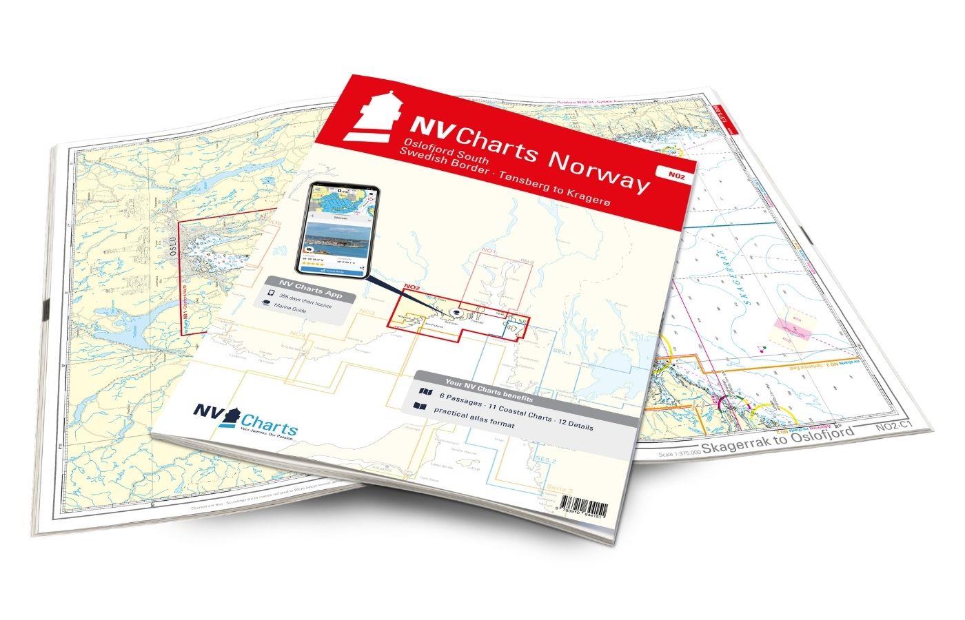
NV Charts Norway NO2 - Oslofjord Sør, Svenska Grensen til Kragerø
The NV Charts Atlas NO2 covers the southern Oslofjord. NV Charts for the Norwegian coast are based on data from the Norwegian Hydrographic Office and also include the harbour plans of the "Norske Los"

€74.99*
Logbuch / Schiffstagebuch NV
The NV Logbook / Ships Diary with the officially prescribed page numbering is clear and practical.The clear division for navigation data with time course sm and remarks on the course of the voyage suc

€15.90*
Gebietsvorschau für NV Binnenband 8 Göta Kanal & Trollhätte Kanal öffnen
NV Binnenband 8 Göta Kanal & Trollhätte Kanal
Swedens blue ribbon of 190 km in length - is probably one of the most scenic waterways in Europe. Every water sports enthusiast would like to pass the 58 locks downhill and uphill the pictur

€44.99*
Gebietsvorschau für NV Charts Denmark Serie 9 - Hirtshals to Esbjerg & Limfjord öffnen
NV Charts Denmark Serie 9 - Hirtshals to Esbjerg & Limfjord
The Danish west coast and the Limfjord are among the most popular holiday regions in the Scandinavian country. The coast is known for its endless, fine sandy beaches. The Limfjord is an elongated soun

€64.99*

Related products to this item

Gebietsvorschau für NV Charts Denmark Serie 9 - Hirtshals to Esbjerg & Limfjord öffnen
NV Charts Denmark Serie 9 - Hirtshals to Esbjerg & Limfjord
The Danish west coast and the Limfjord are among the most popular holiday regions in the Scandinavian country. The coast is known for its endless, fine sandy beaches. The Limfjord is an elongated soun

€64.99*
Gebietsvorschau für NV Charts Norway NO2 - Oslofjord Sør, Svenska Grensen til Kragerø öffnen
NV Charts Norway NO2 - Oslofjord Sør, Svenska Grensen til Kragerø
The NV Charts Atlas NO2 covers the southern Oslofjord. NV Charts for the Norwegian coast are based on data from the Norwegian Hydrographic Office and also include the harbour plans of the "Norske Los"

€74.99*
Gebietsvorschau für NV Charts Norway NO1 - Oslofjord Nord, Oslo to Tønsberg öffnen
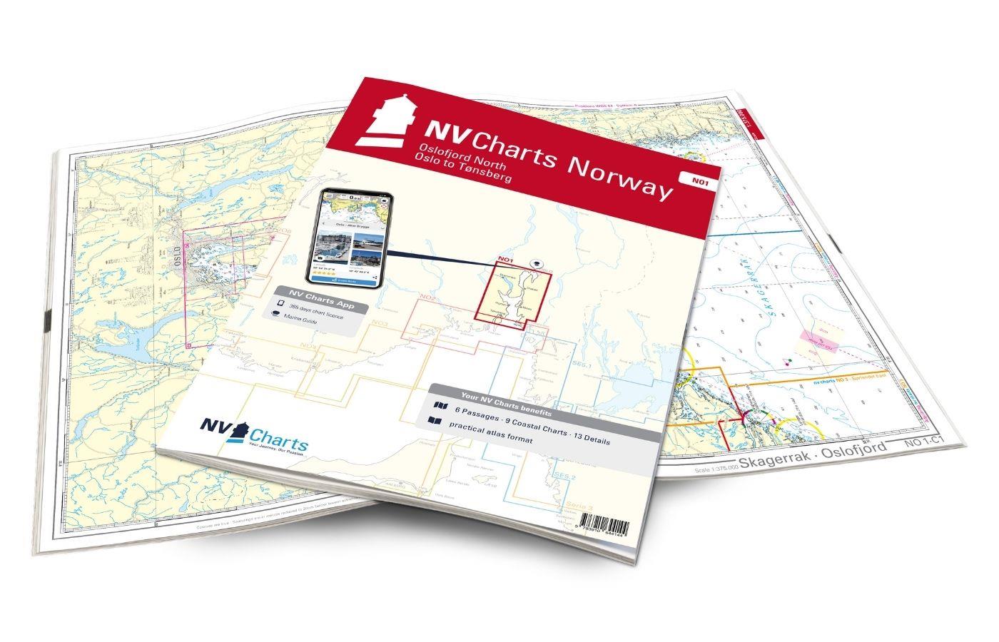
NV Charts Norway NO1 - Oslofjord Nord, Oslo to Tønsberg
The NV Charts Norway Atlas NO1 covers the region around Oslo. NV Charts charts for the Norwegian coast are based on data from the Norwegian Hydrographic Office and also include the harbour plans of th

€74.99*
Gebietsvorschau für NV Charts Nordsee DE11 - Elbe, Hamburg bis Helgoland öffnen
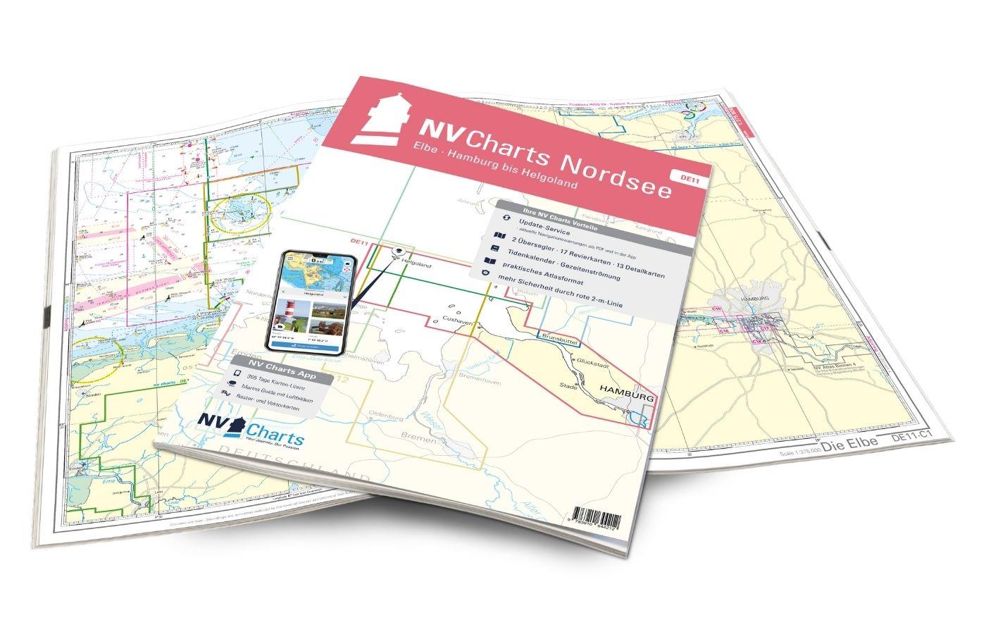
NV Charts Nordsee DE11 - Elbe, Hamburg bis Helgoland
Hamburg to Helgoland, the world-famous northern German port city and Germany's only offshore island. The chart set DE 11 Elbe to Helgoland takes you from the Port of Hamburg via Stade, Glücksstadt to

Variants from €58.49*
€64.99*
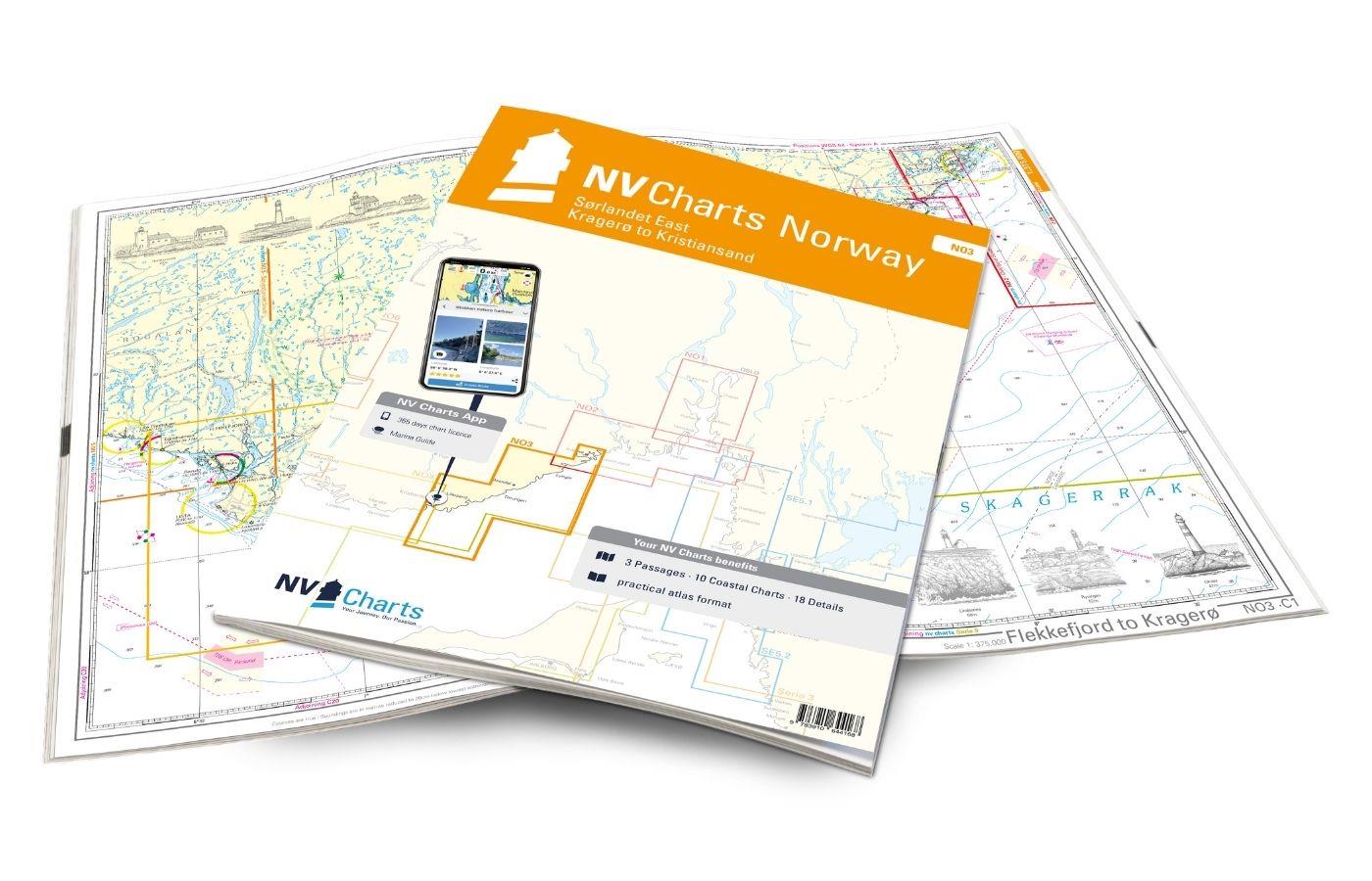
Gebietsvorschau für NV Charts Norway NO3 - Sørlandet East - Kragerø to Kristiansand öffnen
NV Charts Norway NO3 - Sørlandet East - Kragerø to Kristiansand
The NV Charts Norway Atlas NO3 covers the southern coast of Norway up to Kristiansand. NV charts for the Norwegian coast are based on data from the Norwegian Hydrographic Office and also include the h

€74.99*
Gebietsvorschau für NV Charts Baltic Region 4, East Germany - Rügen to Szczecin öffnen
NV Charts Baltic Region 4, East Germany - Rügen to Szczecin
The handy pleasureboat charts for the sea area around Rügen - Bodden waters - SzczecinIt contains the nautical charts in various sizes, as well as all harbor plans and details for approaches and passa

Variants from €59.99*
€74.99*

Similar products

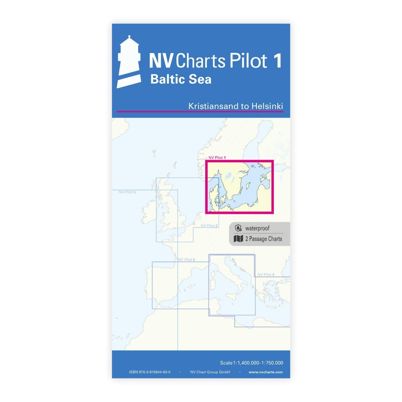
Gebietsvorschau für NV Pilot 1, planning chart Baltic Sea - Kristiansand to Helsinki öffnen
NV Pilot 1, planning chart Baltic Sea - Kristiansand to Helsinki
NV Pilot 1, planning chart Baltic Sea - Kristiansand to HelsinkiThe Pilot 1 from NV Charts is an indispensable planning chart if you want to prepare for a Baltic Sea cruise. This chart for this popula

€24.99*
Gebietsvorschau für NV Charts Sverige SE 5.1 - Svenska Västkusten Norra öffnen
NV Charts Sverige SE 5.1 - Svenska Västkusten Norra
To get to the Oslofjord via the Swedish West Coast, there is no way around the NV Charts Atlas Series 5.1 Svenska Västkusten Norra past. This chart series, specially designed for recreational boating,

€69.90*
Gebietsvorschau für NV Charts Baltic Region 3 - Samsø - Sund - Kattegat öffnen
NV Charts Baltic Region 3 - Samsø - Sund - Kattegat
The handy pleasure craft charts for the sea area Samsø - Sund - Kattegat are a chart series specially designed for recreational boating. It contains the nautical charts in various sizes, as well as al

Variants from €59.99*
€74.99*
Gebietsvorschau für Swedish Series Stockholm M Mellersta öffnen
Swedish Series Stockholm M Mellersta
In this set of official Swedish recreational boat charts (Båtsportkort) Stockholm Mellersta (centre) the Swedish capital Stockholm with its southern and central approaches is depicted i

€78.00*
Gebietsvorschau für NV Charts Baltic Region 2 Lübeck - Bornholm - Copenhagen öffnen
NV Charts Baltic Region 2 Lübeck - Bornholm - Copenhagen
The handy pleasure craft charts for the sea area Bay of Lübeck - Bornholm - Copenhagen are a chart series specially designed for recreational boating. It contains the nautical charts in various sizes,

Variants from €75.99*
€94.99*
Gebietsvorschau für NV Charts single nautical chart Flensburg Fjord öffnen
NV Charts single nautical chart Flensburg Fjord
Flensburg Fjord at a scale of 1:110,000; on the reverse the inner fjord at a scale of 1:50,000.Plastic chart in A3 format, particularly suitable for use on smaller boats. Thanks to the synthetic, poly

€14.99*
Gebietsvorschau für NV Charts Baltic Serie 3 Plano - East Denmark Single-Charts öffnen
NV Charts Baltic Serie 3 Plano - East Denmark Single-Charts
The NV Charts Baltic Series 3 Plano for the sea area Samsø - Sund - Kattegat is a chart series specially designed for recreational boating. It contains the nautical charts in various sizes, as well as

Variants from €59.99*
€74.99*
Gebietsvorschau für Schwedische Serie Vänern öffnen
Schwedische Serie Vänern
The Swedish sport boat chart set Vänern covers Swedens largest lake. This stretches Vänersborg with access into the Trollhättankanal in the west and  in the east with access into the Götakanal at

€78.00*
Gebietsvorschau für NV Binnenband 8 Göta Kanal & Trollhätte Kanal öffnen
NV Binnenband 8 Göta Kanal & Trollhätte Kanal
Swedens blue ribbon of 190 km in length - is probably one of the most scenic waterways in Europe. Every water sports enthusiast would like to pass the 58 locks downhill and uphill the pictur

€44.99*
Gebietsvorschau für NV Charts Baltic Region 4, East Germany - Rügen to Szczecin öffnen
NV Charts Baltic Region 4, East Germany - Rügen to Szczecin
The handy pleasureboat charts for the sea area around Rügen - Bodden waters - SzczecinIt contains the nautical charts in various sizes, as well as all harbor plans and details for approaches and passa

Variants from €59.99*
€74.99*