Skip to main content Skip to search Skip to main navigation

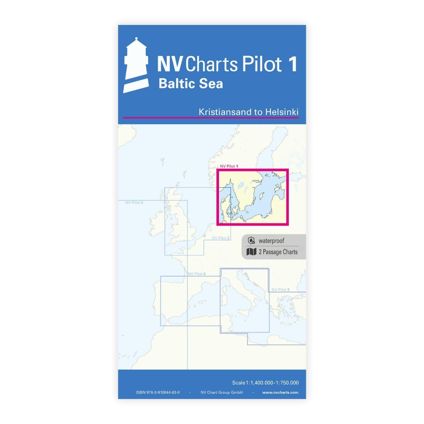
Product information "NV Pilot 1, planning chart Baltic Sea - Kristiansand to Helsinki"

NV Pilot 1, planning chart Baltic Sea - Kristiansand to Helsinki


The Pilot 1 from NV Charts is an indispensable planning chart if you want to prepare for a Baltic Sea cruise. This chart for this popular sailing area extends eastwards to the coasts of Poland, Lithuania, Latvia and Estonia. The east coast of Denmark and the south coast of Sweden are also covered.

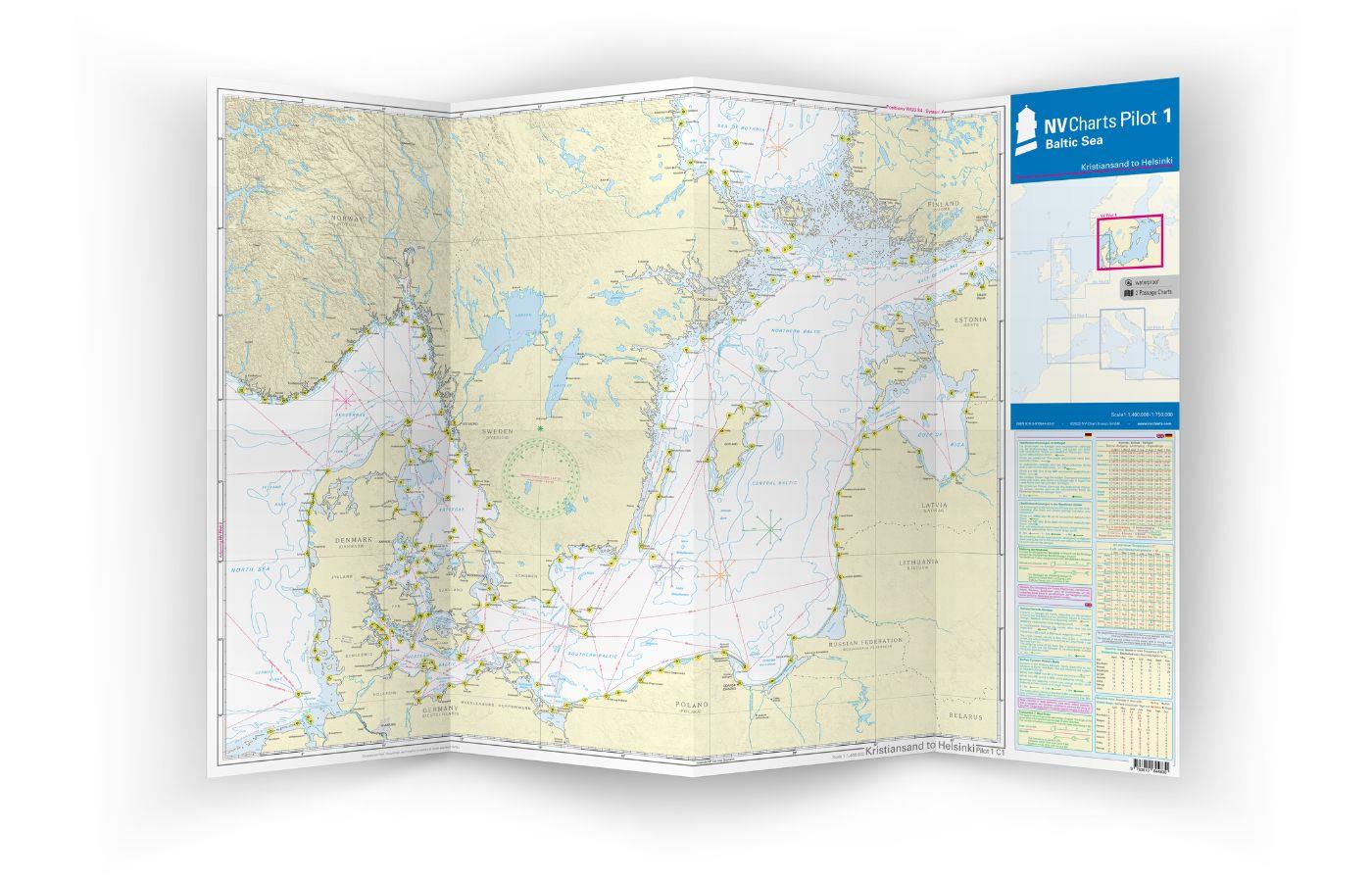
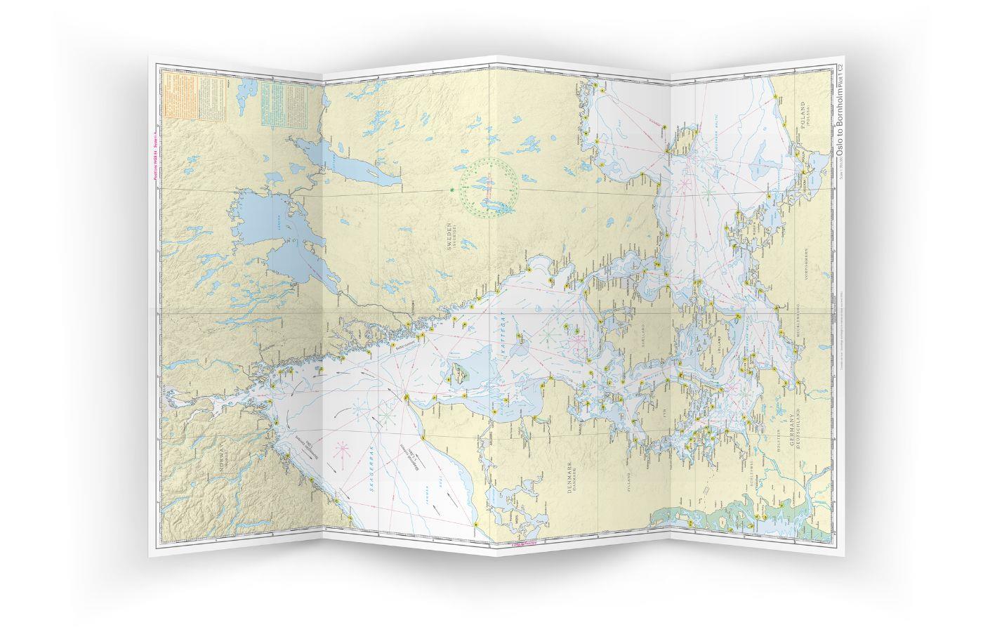
This folding chart consists of two overview charts:
Map 1, scale 1:1.4 million > Skagerak (Flekkefjord) to Helsinki
Map 2, scale 1:750,000 > Kiel to Oslo


Both charts show the important beacons and routes with distances required for passage planning. Wind stars for representative months and the main currents in the Kattegat and Skagerak are also shown. Explanations of the symbols, information on local coastal currents and climate data are provided in English and German. The map is in A1 format, folded approx. 15 x 30 cm.

Our recommendation:

If the entire Baltic Sea is an exciting area for you, we recommend the NV chart case Baltic Sea. This contains the series 1-4 in paper and digital, and there is also a practical harbour handbook for each of these series. We would be happy to advise you on a suitable cruising guide.

Properties "NV Pilot 1, planning chart Baltic Sea - Kristiansand to Helsinki"
Format: Plano & Einzelkarten
Region: Deutschland, Ostsee, Schweden, Finnischer Meerbusen , Finnland, Norwegen
Properties "NV Pilot 1, planning chart Baltic Sea - Kristiansand to Helsinki"
Format: Plano & Einzelkarten
Region: Deutschland, Ostsee, Schweden, Finnischer Meerbusen , Finnland, Norwegen

0 of 0 reviews

Average rating of 0 out of 5 stars

Leave a review!

Share your experiences with other customers.


Area preview

With the help of our area preview, you can get an impression of which geographical region the product deals with or which areas a nautical chart covers.

Other customers bought also

Gebietsvorschau für NV Charts App - Baltic Sea and Kattegat öffnen
NV Charts App - Baltic Sea and Kattegat
NV Charts App - Baltic Sea and Kattegat[nvtext_abo_app_iap]This product can only be used in the NV Charts app, it is not compatible with other navigation programs.

€49.90*
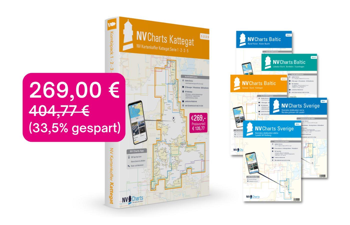
Gebietsvorschau für NV Charts Box North Germany to Norwegian border Region 1, 2, 3, 5.1, 5.2  öffnen
-33 %
NV Charts Box North Germany to Norwegian border Region 1, 2, 3, 5.1, 5.2
Those looking to save while still being optimally equipped to travel from Kiel Bay to the Norwegian border will be very well served by the NV Atlas Kattegat Case . The Kattegat Case includes the Serie

€269.00* €404.77* (33.54% saved)
Subs.available
Gebietsvorschau für NV Charts Baltic Serie 3 Plano - East Denmark Single-Charts öffnen
NV Charts Baltic Serie 3 Plano - East Denmark Single-Charts
Purchase type: One-time
The NV Charts Baltic Series 3 Plano for the sea area Samsø - Sund - Kattegat is a chart series specially designed for recreational boating. It contains the nautical charts in various sizes, as well as

Variants from €59.99*
€74.99*

Related products to this item

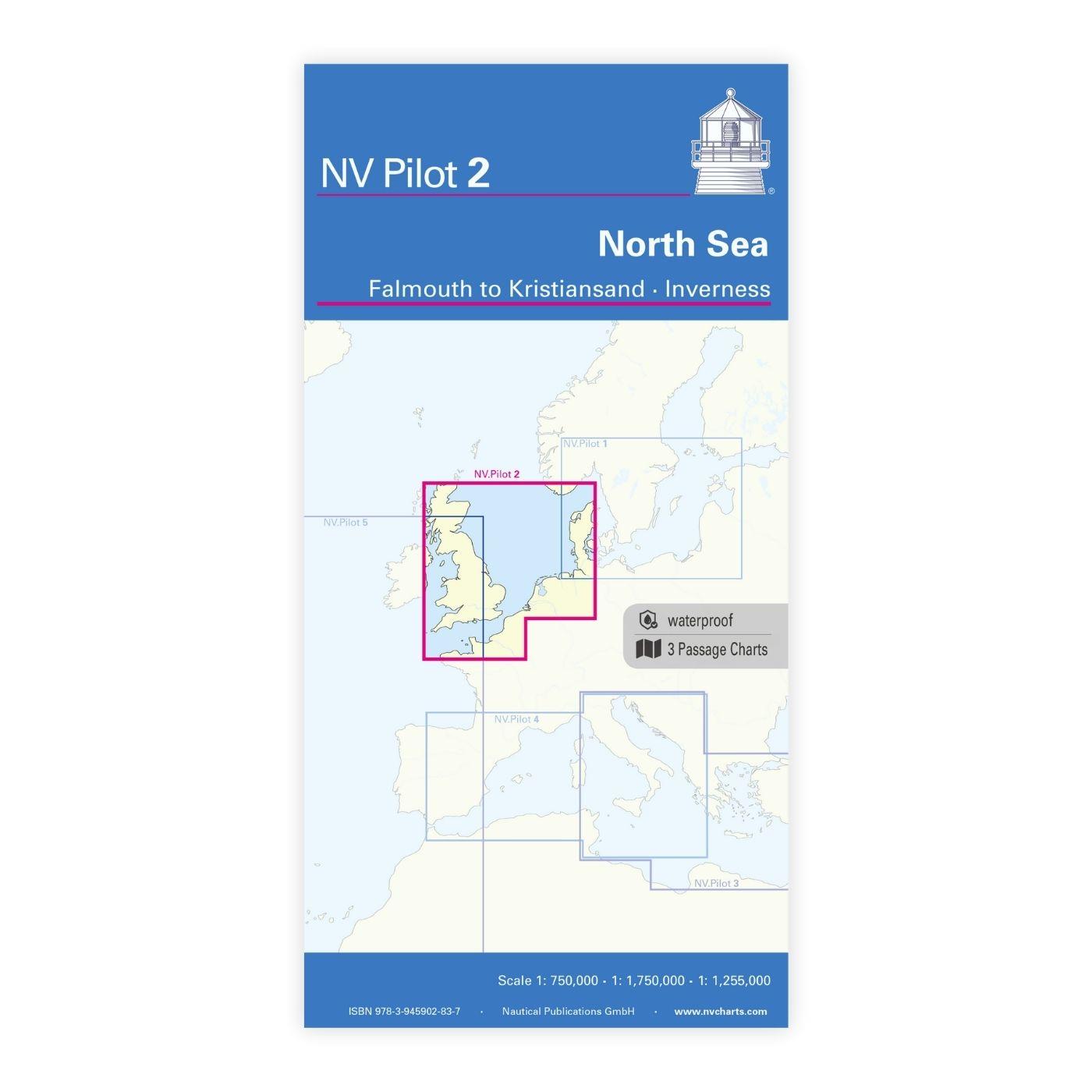
Gebietsvorschau für NV Charts Pilot 2, North Sea - Falmouth to Kristiansand - Inverness öffnen
NV Charts Pilot 2, North Sea - Falmouth to Kristiansand - Inverness
NV Charts Pilot 2, North Sea - Falmouth to Kristiansand - InvernessThe Pilot 2 from NV Charts is the planning chart that is needed for the North Sea. The west coast of Denmark, the German North Sea an

€24.99*
Gebietsvorschau für NV Charts Pilot 5 North Atlantic Ocean - Gibraltar to Caribbean, Atlantic Islands öffnen
NV Charts Pilot 5 North Atlantic Ocean - Gibraltar to Caribbean, Atlantic Islands
The NV Charts Pilot 5 is a folding chart that you absolutely need for planning a transatlantic passage. The west coast of Spain, Portugal, Morocco and the Canary Islands are covered in this oversailer

€24.99*
Gebietsvorschau für NV Charts Baltic Region 2 Lübeck - Bornholm - Copenhagen öffnen
NV Charts Baltic Region 2 Lübeck - Bornholm - Copenhagen
The handy pleasure craft charts for the sea area Bay of Lübeck - Bornholm - Copenhagen are a chart series specially designed for recreational boating. It contains the nautical charts in various sizes,

Variants from €75.99*
€94.99*
-20 %
Subscription - NV Charts Nederland NL1 - Borkum naar Oostende
NV Charts NL1[nvtext_abo_2_jahre]

€51.99* €64.99* (20% saved)

Similar products

Gebietsvorschau für NV Charts Sverige SE 5.1 - Svenska Västkusten Norra öffnen
NV Charts Sverige SE 5.1 - Svenska Västkusten Norra
To get to the Oslofjord via the Swedish West Coast, there is no way around the NV Charts Atlas Series 5.1 Svenska Västkusten Norra past. This chart series, specially designed for recreational boating,

€69.90*
Gebietsvorschau für NV Charts Baltic Region 3 - Samsø - Sund - Kattegat öffnen
NV Charts Baltic Region 3 - Samsø - Sund - Kattegat
The handy pleasure craft charts for the sea area Samsø - Sund - Kattegat are a chart series specially designed for recreational boating. It contains the nautical charts in various sizes, as well as al

Variants from €59.99*
€74.99*
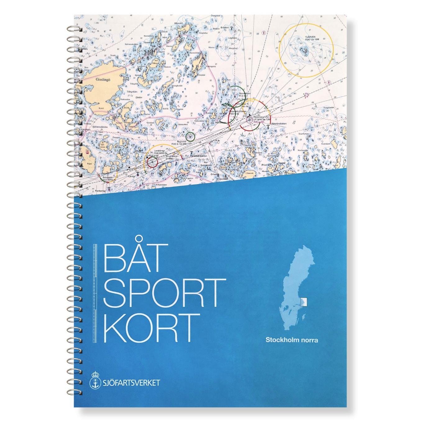
Gebietsvorschau für Swedish Series Stockholm M Mellersta öffnen
Swedish Series Stockholm M Mellersta
In this set of official Swedish recreational boat charts (Båtsportkort) Stockholm Mellersta (centre) the Swedish capital Stockholm with its southern and central approaches is depicted i

€78.00*
Gebietsvorschau für NV Charts Baltic Region 2 Lübeck - Bornholm - Copenhagen öffnen
NV Charts Baltic Region 2 Lübeck - Bornholm - Copenhagen
The handy pleasure craft charts for the sea area Bay of Lübeck - Bornholm - Copenhagen are a chart series specially designed for recreational boating. It contains the nautical charts in various sizes,

Variants from €75.99*
€94.99*
Gebietsvorschau für FINN. BOOTSPORTKARTEN C öffnen
FINN. BOOTSPORTKARTEN C
The Finnish boating chart set C "Åland" covers the Åland Islands with the island capital Mariehamn. The eastern boundary of this recreational boating chart set is the line Uto - Kökar - Brändö - E

€58.00*
Gebietsvorschau für Charts of Estonia 3 öffnen
Charts of Estonia 3
The Estonian recreational chart set "Charts of Estonia 3" vol 3 from Saaremaa to Ruhnu is an official Estonian recreational chart set in the format 30x42 in a spiral binding it covers the southern are

€85.00*
Gebietsvorschau für NV Charts single nautical chart Flensburg Fjord öffnen
NV Charts single nautical chart Flensburg Fjord
Flensburg Fjord at a scale of 1:110,000; on the reverse the inner fjord at a scale of 1:50,000.Plastic chart in A3 format, particularly suitable for use on smaller boats. Thanks to the synthetic, poly

€14.99*
Gebietsvorschau für NV Charts Baltic Serie 3 Plano - East Denmark Single-Charts öffnen
NV Charts Baltic Serie 3 Plano - East Denmark Single-Charts
The NV Charts Baltic Series 3 Plano for the sea area Samsø - Sund - Kattegat is a chart series specially designed for recreational boating. It contains the nautical charts in various sizes, as well as

Variants from €59.99*
€74.99*
Gebietsvorschau für Schwedische Serie Vänern öffnen
Schwedische Serie Vänern
The Swedish sport boat chart set Vänern covers Swedens largest lake. This stretches Vänersborg with access into the Trollhättankanal in the west and  in the east with access into the Götakanal at

€78.00*
Gebietsvorschau für NV Binnenband 8 Göta Kanal & Trollhätte Kanal öffnen
NV Binnenband 8 Göta Kanal & Trollhätte Kanal
Swedens blue ribbon of 190 km in length - is probably one of the most scenic waterways in Europe. Every water sports enthusiast would like to pass the 58 locks downhill and uphill the pictur

€44.99*