NV Charts Baltic Region 6 - Poland - Lithuania - Latvia
Description
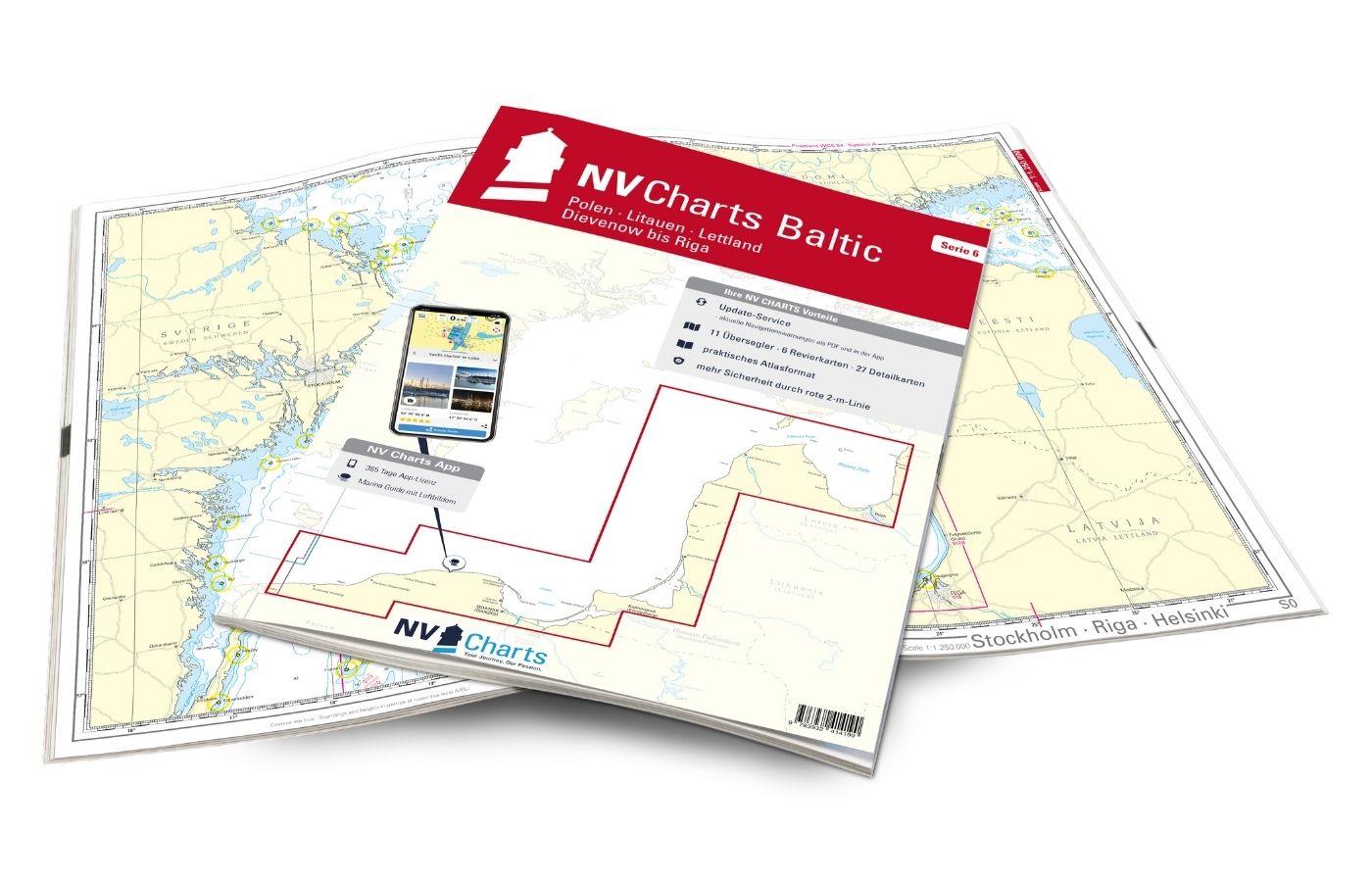
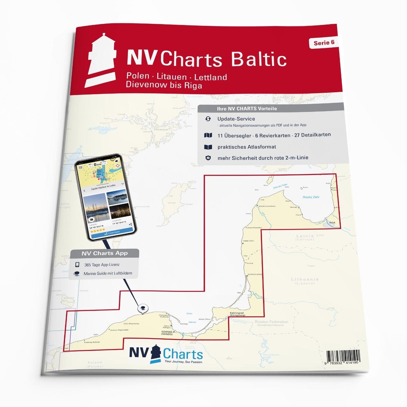
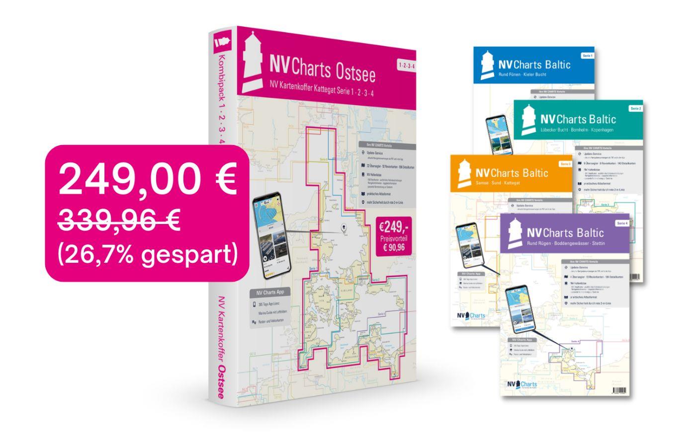
The NV Charts Baltic Series 6 includes the Polish Baltic coast and goes from Lithuania to Latvia . The chart series, specially designed for recreational boating, contains the nautical charts in various sizes, as well as all harbour plans and details for approaches and passages in the waters. In addition, there are also passageways for bridges, power lines, etc., as well as all nautical and navigational information. Thanks to the clear layout, the recreational skipper can quickly find approaches, harbours and anchorages and is made aware of navigationally important details that also appear in the NV Charts app. The chart series impresses with its optimised dimensions and balanced sheet sections.
Regions overview
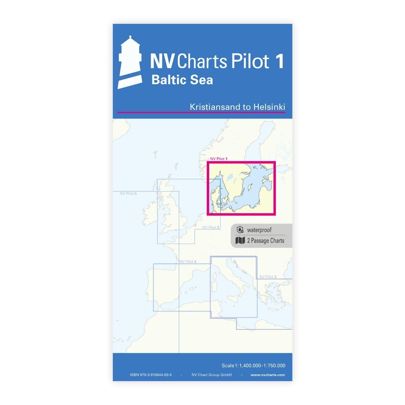
Series 6 covers the entire Baltic coast from the Polish seaside resort of Dievenow via the Bay of Gdansk to Kaliningrad, Klaipeda in Lithuania and Riga in Latvia all the way to the Estonian border. This picturesque coastal region, still largely unspoilt, invites you to embark on individual journeys of discovery, where you can harmoniously combine landscape and culture. This chart is your ideal companion for exploring the Baltic countries and possibly continuing your journey to Estonia or Finland.
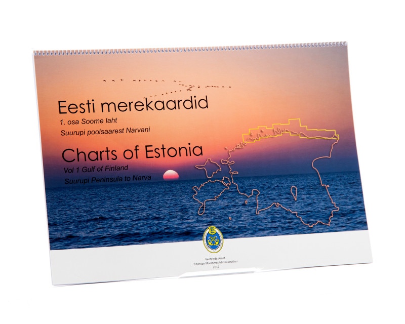
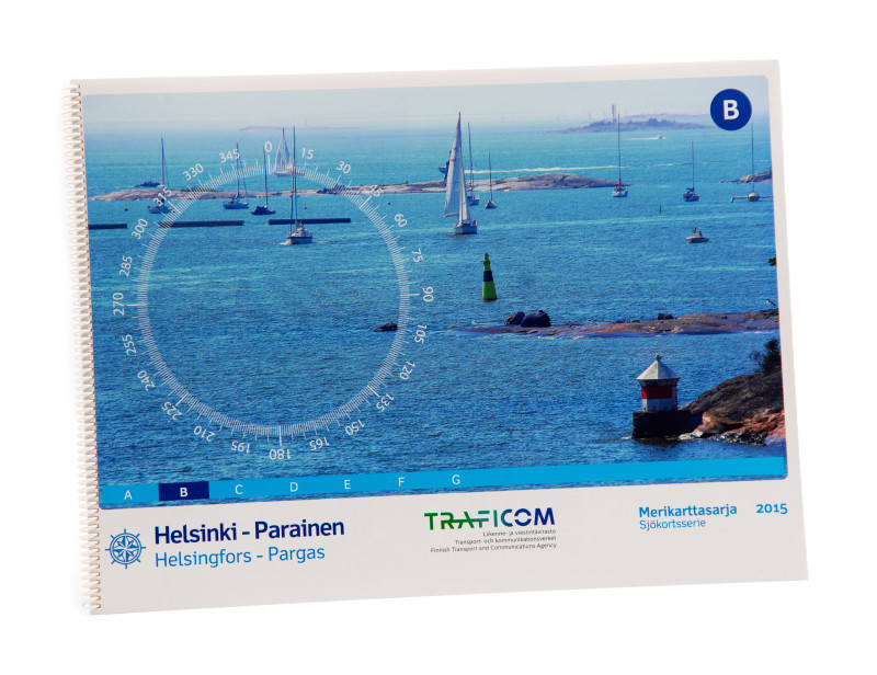
We recommend the three Estonian pleasure craft charts Estonia 1, Estonia 2 and Estonia 3, as well as the Finnish pleasure craft charts B, D and C as an extension to this chart set.
This chart set includes
- 11 &sailors
- 6 territory maps
- 27 detailed maps
- Digital charts for navigation program and NV Charts App 356-day licence
- Navigation instructions in English
- Meets the legal requirements for current paper charts on board recreational craft
All advantages at a glance
- NV Atlas chart format: Practical, handy atlas format, opened in A2, closed in A3 format, flat staple binding in the centre - makes it easy to work with the course triangle
- Always up-to-date: Monthly correction service from April to October
- NV Charts App: including access code to the digital nautical charts of the purchased area in the NV Charts app with 365-day licence, for offline navigation with the app on iOS, Android, PC, Mac or in the web browser, comprehensive harbour manual
- Extremely detailed: Nautical charts based on data from official surveys and own surveys, particularly detailed outside the main fairways
- Optimised for recreational boating
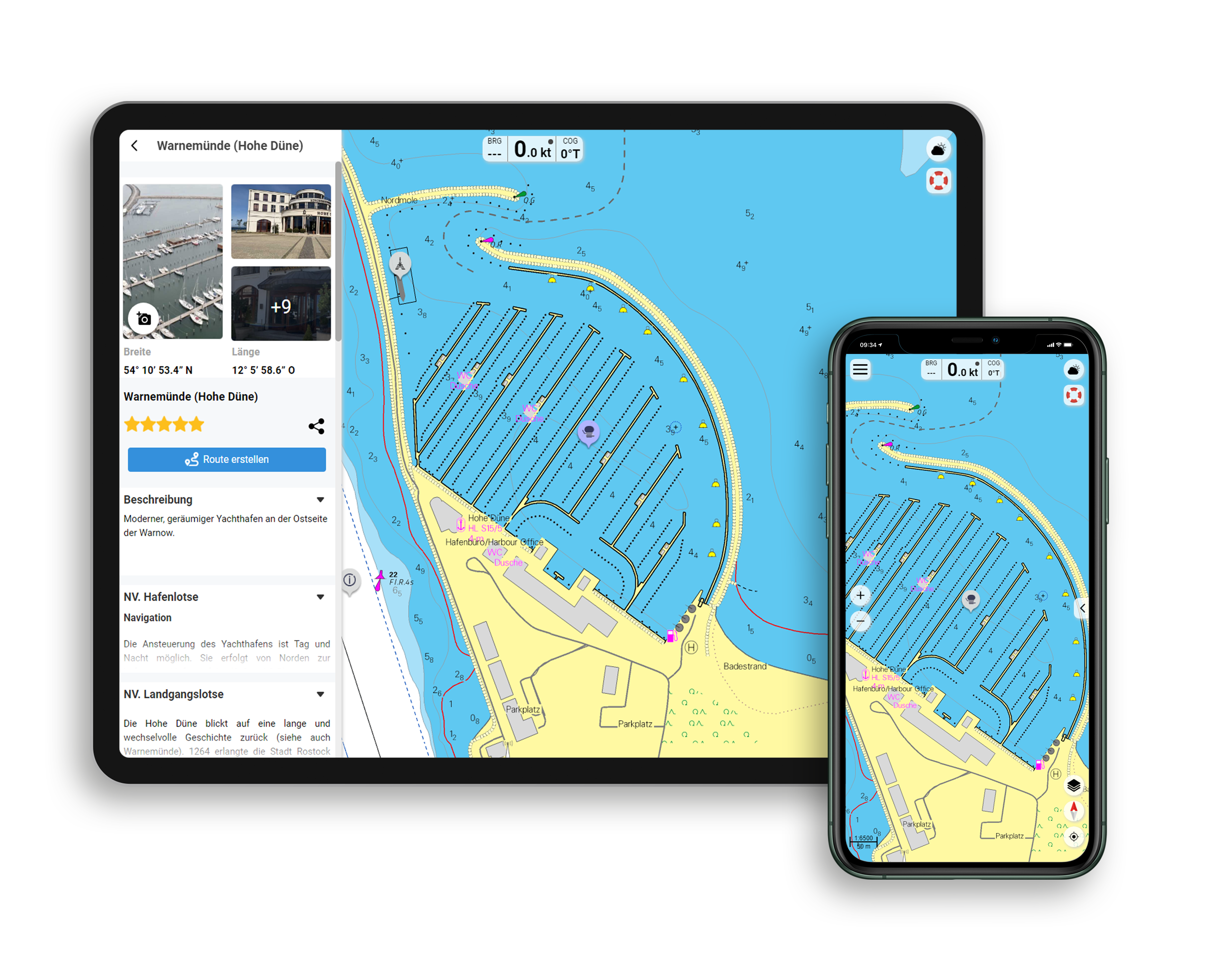
Functions of the NV Charts app
- Flexible autorouting
- Satellite overlay
- Augmented reality
- VMG (Velocity Made Good)
- BoatView harbour guide
- Track recording
- AIS connection and much more.
Charts and measures included
Übersegler
S 0 Stockholm - Riga - Helsinki 1 : 250.000 , S 1 Kolberg to Riga 1 : 1.250.000 , S 2 Bay of Gdansk to Gotland 1 : 520.000 , S 3 Dievenow to Ustka 1 : 240.000 , S 4 Ustka to Hel 1 : 240.000 , S 5 Bay of Gdansk 1 : 240. 000 , S 6 Mys Taran to Sventoji 1 : 240.000 , S 7 Sventoji to Uzava 1 : 240.000 , S 8 Uzava to Street of Irbes 1 : 240.000 , S 9 Street of Irbes to Ruhnu 1 : 240.000 , S 10 Bay of Riga 1 : 240.000
District maps
S 12 Approach to Gdansk 1 : 80.000 ,S 13 Gdansk to Wisla Smiala 1 : 25.000 ,S 14 Curonia Lagoon 1 : 80.000 ,S 15/5 Baltijsk 1 : 20.000 , S 17/1 Ventspils 1 : 30.000 , S 18 Riga 1 : 30.000
Detailed maps
S 11/1 Darlowo (Rügenwalde) 1 : 10,000 ,S 11/2 Mrzezyno (Ost - Deep) 1 : 10,000 ,S 11/3 Kolobrzeg (Kolberg) 1 : 10,000 ,S 11/4 Ustka (Stolpmünde) 1 : 10,000 ,S 11/5 Leba 1 : 10,000 ,S 11/6 Wladyslawowo (Gro&sz;endorf) 1 : 10. 000 ,S 11/7 Sopot 1 : 10.000 ,S 11/8 Gdynia (Gdingen) 1 : 5.000 ,S 11/9 Puck (Putzig) 1 : 5.000 ,S 11/10 Jastarnia (Heisternest) 1 : 10.000 ,S 11/11 Kuznica 1 : 12.000 ,S 11/12 Hel (Hela) 1 : 5. 000 , S 13A Gdansk City Harbour 1 : 5,000 , S 13B Wisla Smiala 1 : 15,000 , S 15/1 Liepaja 1 : 15,000 , S 15/2 Nida (Nidden) 1 : 5,000 , S 15/3 Sventoji 1 : 10,000 , S 15/4 Klaipeda Old Castle Hbr. 1 : 5,000 , S 16 Klaipeda Harbour 1 : 15. 000 , S 17/2 Pavilosta (Paulshafen) 1 : 10,000 , S 17/3 Kuivizi 1 : 5,000 , S 17/4 Ruhnu 1 : 5,000 , S 17/5 Roja 1 : 10,000 , S 17/6 Mersrags 1 : 10,000 , S 17/7 Engure 1 : 5,000 , S 17/8 Skulte 1 : 5,000 , S 17/9 Salacgriva 1 : 10,000
| App License: | NV Charts App |
|---|---|
| Format: | NV Atlas, Gebundener Kartensatz |
| Size: | Atlas |
With the help of our area preview, you can get an impression of which geographical region the product deals with or which areas a nautical chart covers.
Related products to this item
Reviews
Login

