Skip to main content Skip to search Skip to main navigation

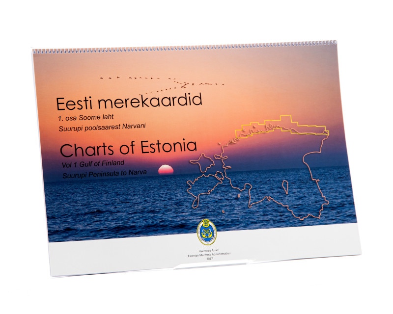
The Estonian Recreational Boating Chart Set "Charts of Estonia 1" Vol 1 Gulf of Finland Suuprupi Peninsula to Narva is an official Estonian recreational boating chart set in 30x42 format in a spiral binding it covers the Estonian side of the Gulf of Finland between Lohusalu and the Russian border at Narva.

The chart set includes

  • 3 general charts 1:250.000
  • 25 Detailed Charts 1:50.000
  • Application-oriented spiral binding
  • High-quality clear pocket
  • In Estonian and English
  • Meets legal requirements for up-to-date paper charts on board

Our recommendation

The Estonian Sport Boat Charts are definitely the best nautical charts for this region. However we would still recommend that you carry a harbour handbook of the region with you as this makes it easier to find harbours and anchorages. 38 harbours have detailed charts available. Among others for the ports of Tallinn and the border river Narva. Most of the harbour maps are provided with QR codes to the State Harbour Administration.
The island of Naissaar is shown at a scale of 1:50000 (additional harbour map).

Handling and appearance

The map sheets are spiral-bound in 34 x 42 cm in a transparent cover printed on both sides. The spiral binding makes it possible to "turn" the pages. Furthermore the official Estonian recreational craft charts are printed on extremely durable paper.

Update

The official Estonian recreational craft charts are reissued at irregular intervals. Usually the intervals are between 2 and 4 years.

0 of 0 reviews

Average rating of 0 out of 5 stars

Leave a review!

Share your experiences with other customers.


Area preview

With the help of our area preview, you can get an impression of which geographical region the product deals with or which areas a nautical chart covers.

Other customers bought also

Gebietsvorschau für Charts of Estonia 2 öffnen
Charts of Estonia 2
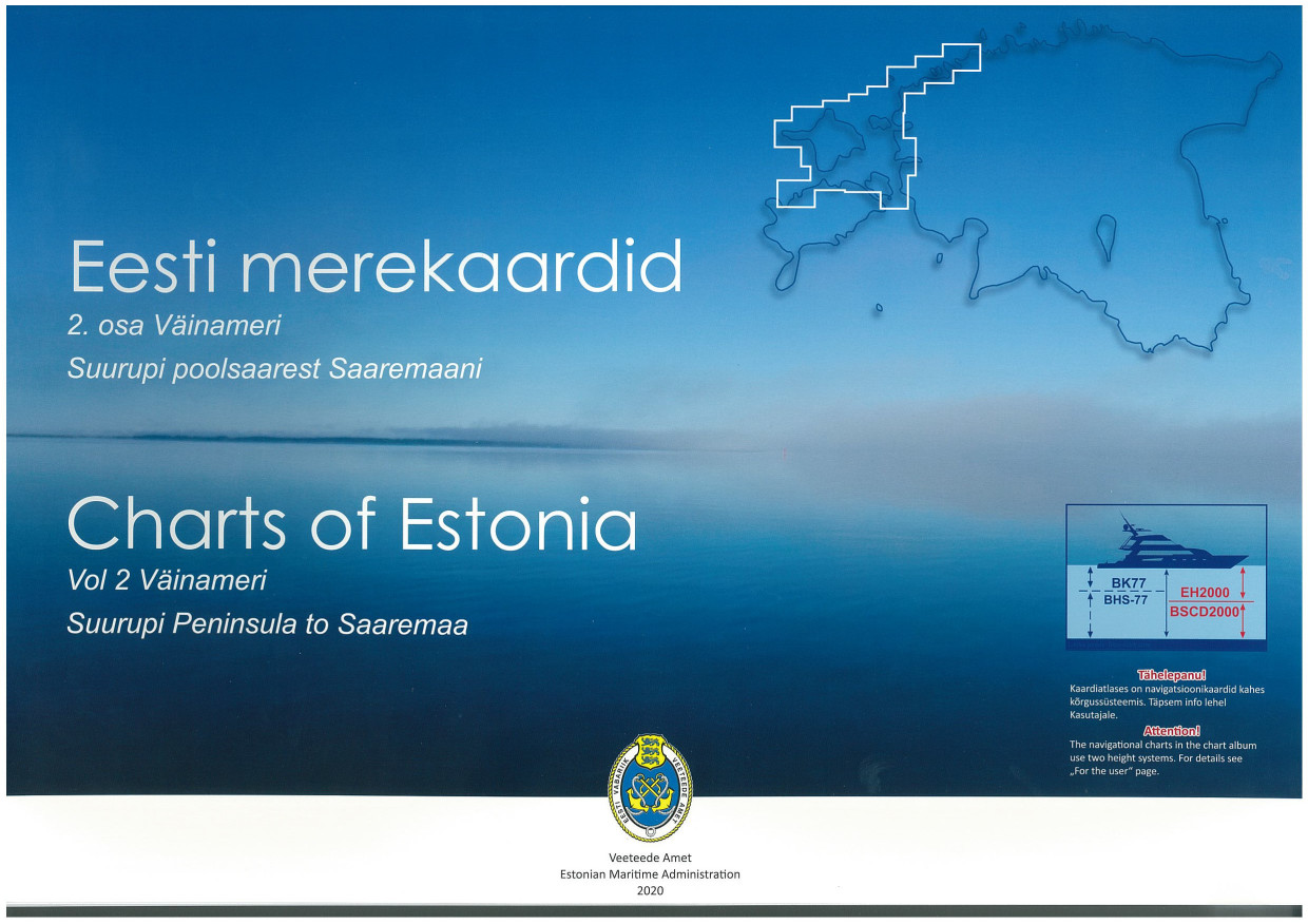
The Estonian recreational chart set "Charts of Estonia 2" vol 2 Väinameri Suurupi Peninsula to Saaremaa is an official Estonian recreational chart set in 30x42 format in a spiral binding it covers the

€85.00*
Gebietsvorschau für FINN. BOOTSPORTKARTEN B öffnen
FINN. BOOTSPORTKARTEN B
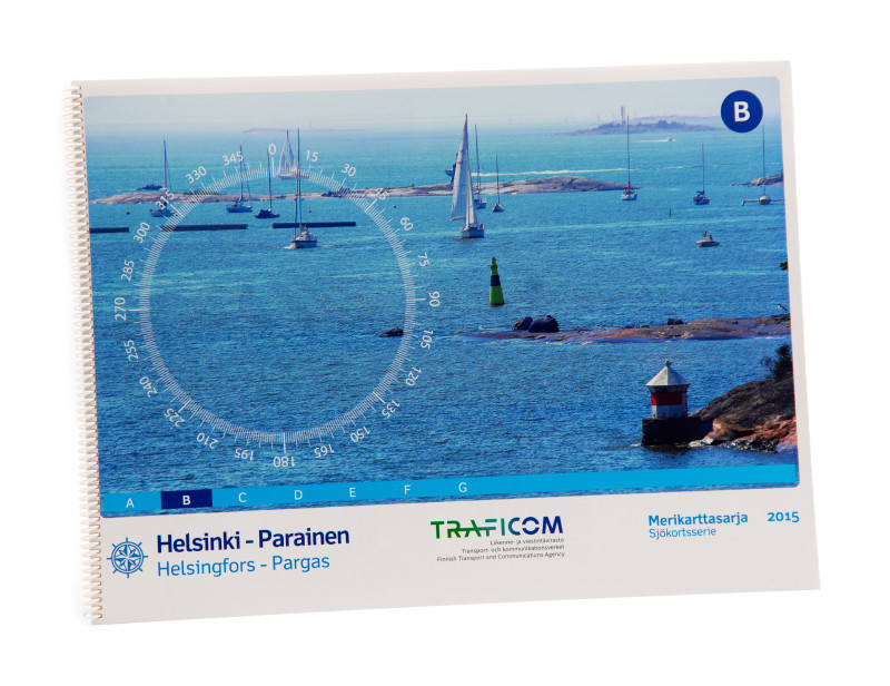
The Finnish Recreational Chart Set B covers the southern Finnish coast from Helsinki to Parainen.The chart set includes2 charts 1:300.0002 charts western part of the Gulf of Finland incl. the coast of

€58.00*
Gebietsvorschau für NV Charts Baltic Region 6 - Poland - Lithuania - Latvia öffnen
NV Charts Baltic Region 6 - Poland - Lithuania - Latvia
The NV Charts Baltic Series 6 includes the Polish Baltic coast and goes from Lithuania to Latvia . The chart series, specially designed for recreational boating, contains the nautical charts

€94.99*
Gebietsvorschau für Charts of Estonia 3 öffnen
Charts of Estonia 3
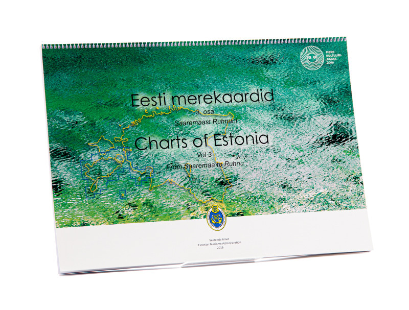
The Estonian recreational chart set "Charts of Estonia 3" vol 3 from Saaremaa to Ruhnu is an official Estonian recreational chart set in the format 30x42 in a spiral binding it covers the southern are

€85.00*

Related products to this item

Gebietsvorschau für Charts of Estonia 3 öffnen
Charts of Estonia 3
The Estonian recreational chart set "Charts of Estonia 3" vol 3 from Saaremaa to Ruhnu is an official Estonian recreational chart set in the format 30x42 in a spiral binding it covers the southern are

€85.00*
Gebietsvorschau für Charts of Estonia 2 öffnen
Charts of Estonia 2
The Estonian recreational chart set "Charts of Estonia 2" vol 2 Väinameri Suurupi Peninsula to Saaremaa is an official Estonian recreational chart set in 30x42 format in a spiral binding it covers the

€85.00*
Gebietsvorschau für FINN. BOOTSPORTKARTEN B öffnen
FINN. BOOTSPORTKARTEN B
The Finnish Recreational Chart Set B covers the southern Finnish coast from Helsinki to Parainen.The chart set includes2 charts 1:300.0002 charts western part of the Gulf of Finland incl. the coast of

€58.00*
Gebietsvorschau für NV Charts Baltic Region 6 - Poland - Lithuania - Latvia öffnen
NV Charts Baltic Region 6 - Poland - Lithuania - Latvia
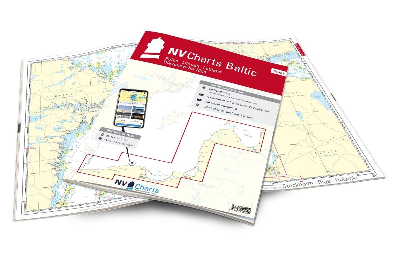
The NV Charts Baltic Series 6 includes the Polish Baltic coast and goes from Lithuania to Latvia . The chart series, specially designed for recreational boating, contains the nautical charts

€94.99*
Gebietsvorschau für FINN. BOOTSPORTKARTEN C öffnen
FINN. BOOTSPORTKARTEN C
The Finnish boating chart set C "Åland" covers the Åland Islands with the island capital Mariehamn. The eastern boundary of this recreational boating chart set is the line Uto - Kökar - Brändö - E

€58.00*
Gebietsvorschau für FINN. BOOTSPORTKARTEN D öffnen
FINN. BOOTSPORTKARTEN D
The Finnish Recreational Boat Chart Set D covers the popular Turku archipelago. The northernmost town in this chart set is Uusikaupunki (Swedish: Nystad).The chart set includes1 oversegger 1:300000 wi

€58.00*

Similar products

Gebietsvorschau für NV Pilot 1, planning chart Baltic Sea - Kristiansand to Helsinki öffnen
NV Pilot 1, planning chart Baltic Sea - Kristiansand to Helsinki
Planning chart for the Baltic Sea for sailorsThe Pilot 1 from NV Charts is an indispensable planning chart if you want to prepare for a Baltic Sea cruise. This chart for this popular sailing area exte

€24.99*
Gebietsvorschau für Charts of Estonia 3 öffnen
Charts of Estonia 3
The Estonian recreational chart set "Charts of Estonia 3" vol 3 from Saaremaa to Ruhnu is an official Estonian recreational chart set in the format 30x42 in a spiral binding it covers the southern are

€85.00*
Gebietsvorschau für Charts of Estonia 2 öffnen
Charts of Estonia 2
The Estonian recreational chart set "Charts of Estonia 2" vol 2 Väinameri Suurupi Peninsula to Saaremaa is an official Estonian recreational chart set in 30x42 format in a spiral binding it covers the

€85.00*
Gebietsvorschau für NV Charts Baltic Region 6 - Poland - Lithuania - Latvia öffnen
NV Charts Baltic Region 6 - Poland - Lithuania - Latvia
The NV Charts Baltic Series 6 includes the Polish Baltic coast and goes from Lithuania to Latvia . The chart series, specially designed for recreational boating, contains the nautical charts

€94.99*