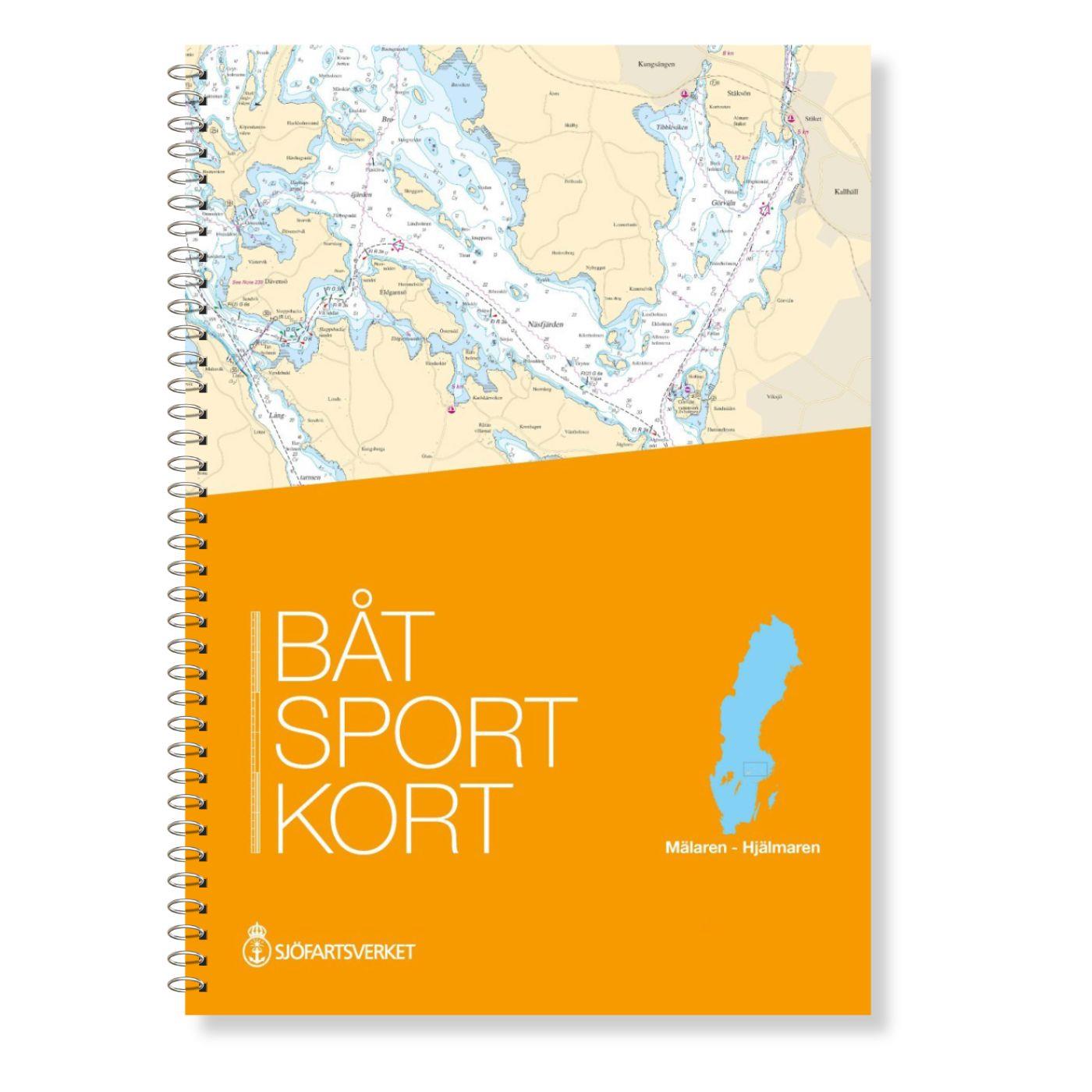
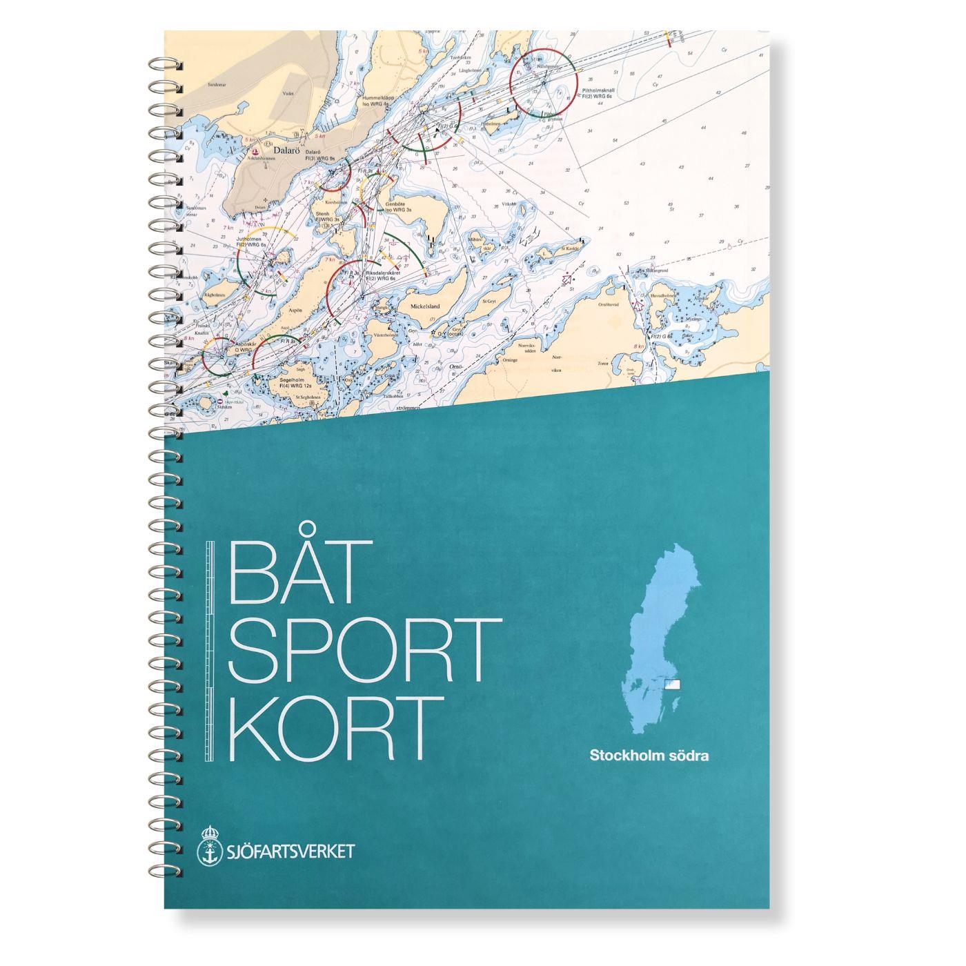
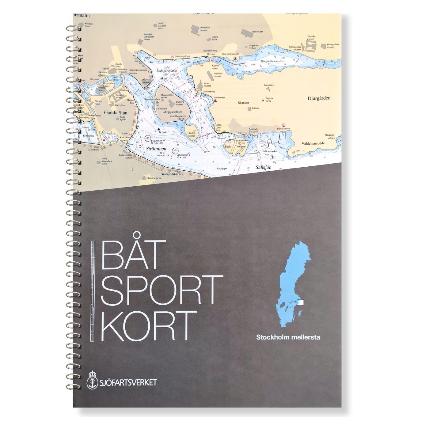
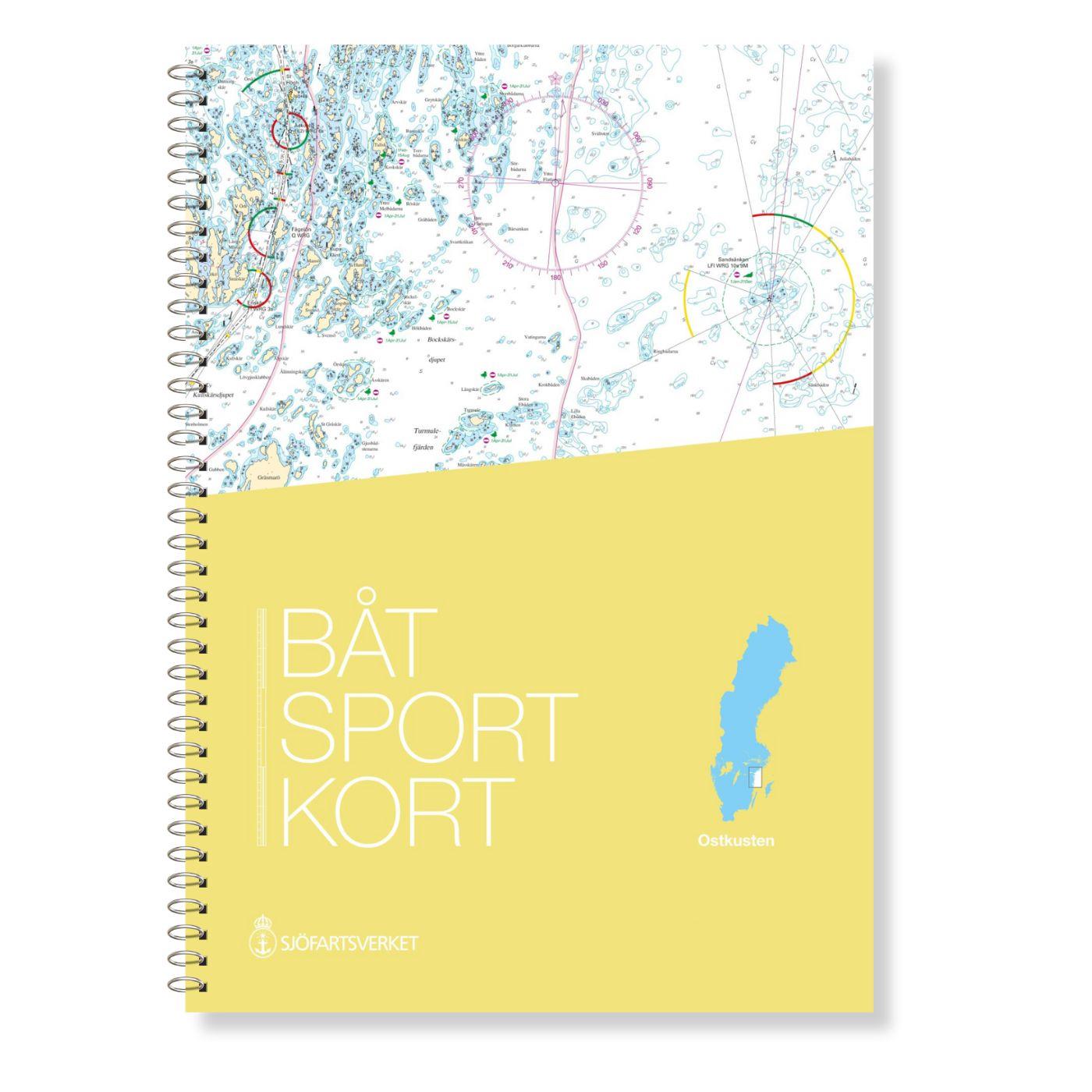
Swedish series Mälaren - Hjälmaren
Description
In this official Swedish recreational boating chart set Mälaren- Hjälmaren the popular Swedish inland waterways Mälaren and Hjälmaren are covered. This extends from Stockholm into the Mälaren via the Fyrisån to Uppsalla in the north and on via Väseras to Köping and then via the Eskilstunaån and the Eskilstunaån. Both the southern entrance into the Mälaren past Trosa through the Södertälje Canal and the northern entrance through Stockholm are shown in great detail.
The map set includes
- 24 maps at a scale of 1: 50000
- 25 maps at a scale of 1:25000 and 1:12.500
- further details in better scales of harbours and narrows
- Application-oriented plastic spiral binding
- High-quality clear pocket
- In Swedish and English
- Meets legal requirements for up-to-date paper charts on board
Update - Update
The official Swedish recreational boat charts are reissued at irregular intervals. Mostly the intervals are between 2 and 4 years. It is possible to update the charts via the website of the Swedish Maritime Administration using NFS.
Our recommendation
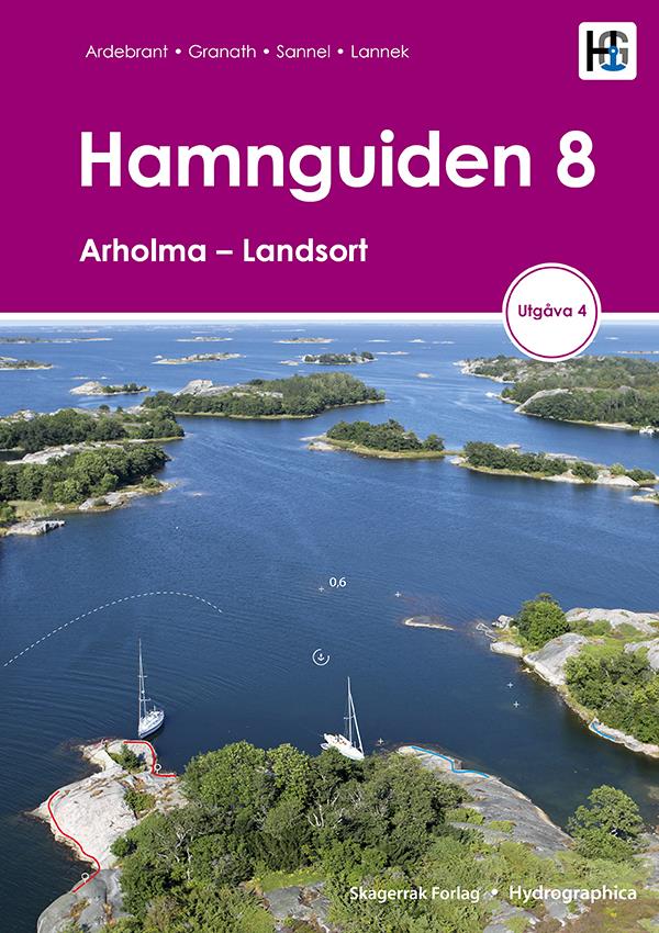
The Swedish recreational boat charts are definitely the best products for this region. However we would still recommend that you carry a harbour handbook for the region as this will make it easier to find harbours and anchorages. We would recommend the book Hamnguiden 7 which is only in Swedish but has very nice plans and aerial photographs. If you prefer a book in German we would recommend the book Schweden 2 by Delius Klasing.
Official Swedish recreational boat charts
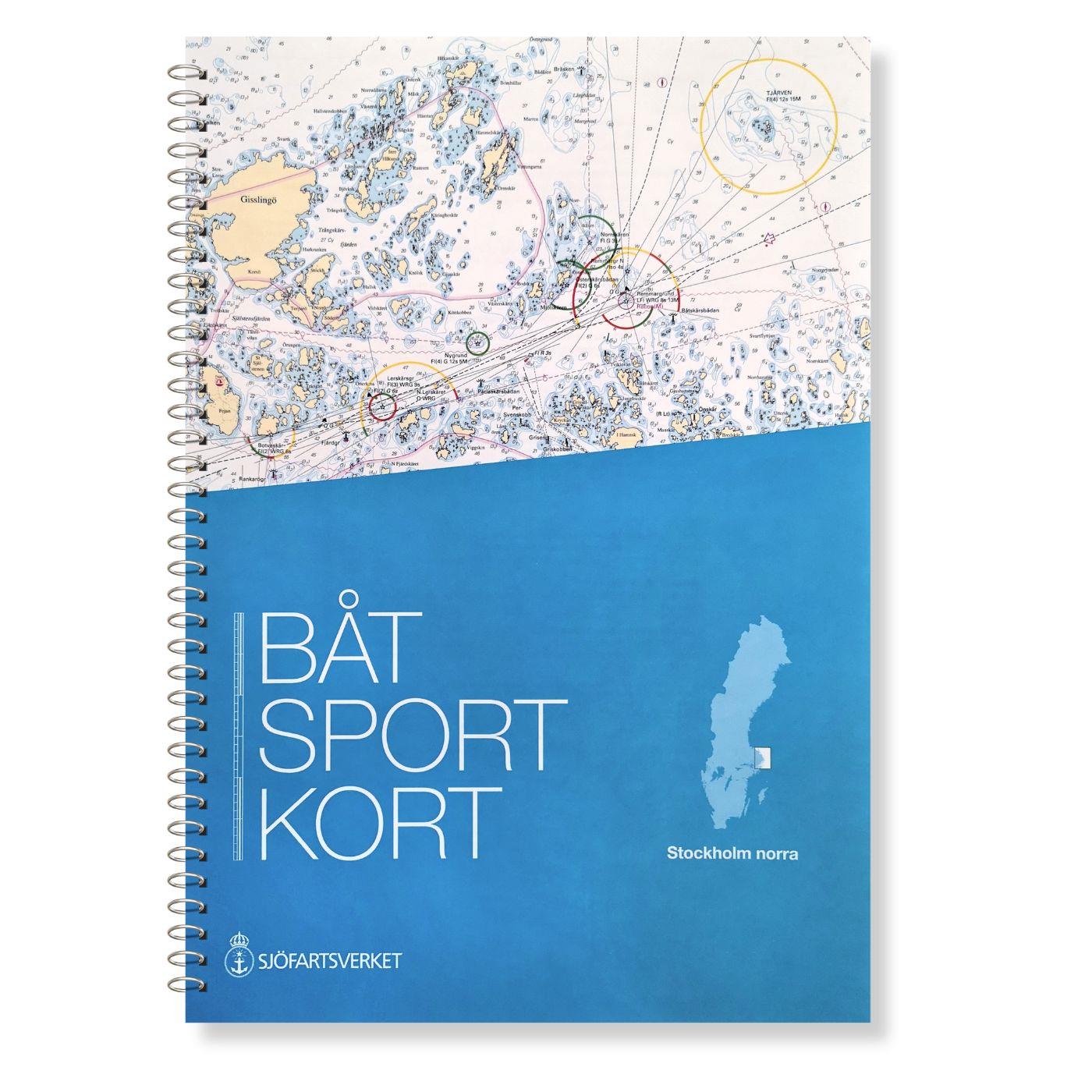
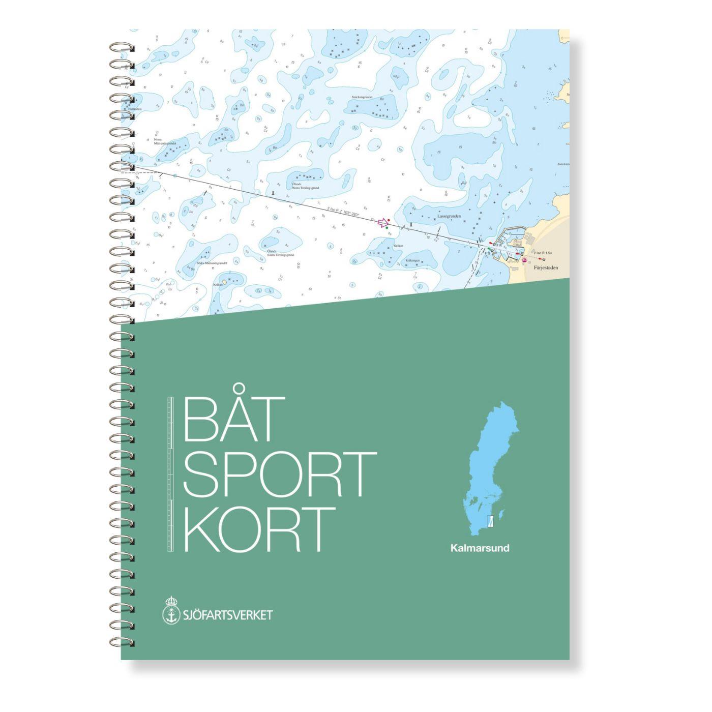
The Swedish recreational boat chart series consists of 17 sets each of which covers a coastal or inland section. These chart sets have a plastic spiral binding. The archipelago fairways are shown in detail and the beacon sectors are colour-coded. Each map sheet has clear references to the connecting maps within the map set. A clear pocket is included in the delivery. This product does not contain digital portions.
Handling and appearance
The map sheets are 30 x 42 cm spiral bound in a clear pocket printed on both sides. The spiral binding makes it possible to "turn" the pages. Furthermore the official Swedish recreational craft charts are printed on extremely durable paper. In addition there is also an excerpt from chart 1 describing the most important symbols of the chart series.
| Empfehlung: | Revierempfehlung Schweden |
|---|---|
| Format: | Spiralbindung |
With the help of our area preview, you can get an impression of which geographical region the product deals with or which areas a nautical chart covers.
Related products to this item
Reviews
Login

