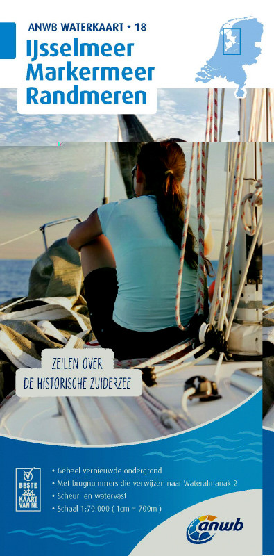
ANWB Waterkaart 18 - Ijsselmeer-Markermeer / Randmeeren
Description
Netherlands inland map IJsselmeer Markermeer Randmeren
The north-eastern province of Drenthe is known for its semi-natural national parks and green landscapes through which navigable waterways run.
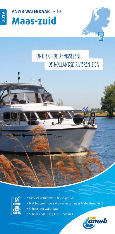
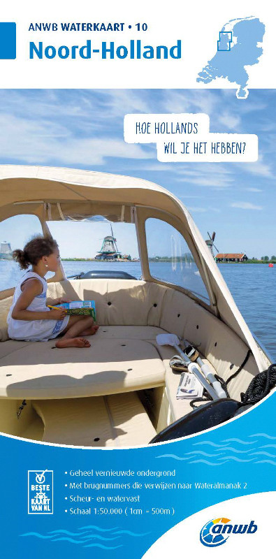
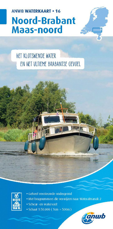
Folding map for Dutch inland area double-sided full-colour printed on thin art paper. Landscape format 100 x 70 cm (folded 25 x 12.5 cm). The map includes all navigable waterways and areas of the district. Navigation signs are complete depth indications only sparsely marked. The bridges and structures are partly numbered and refer to the structure numbers of the Wateralmanak 2 . The Wateralmanak 2 is also navigationally necessary for details of marinas and moorings.
- Dimensions: 100x70 cm
- Scale: 1:70000
- In Dutch with Dutch explanation of signs.
- Reliable and detailed nautical information on the chart
- Comprehensive legend
- With inset maps of the most important ports and places in a sailing area
- Overview chart
- The water charts are tear and water resistant
The chart is not suitable for navigation outside inland waters and in the Waddenzee.
Coverage for Waterkaart 18 - IJsselmeer Markermeer Randmeren:
Front 1:70.000 northern part from Abschlußdam to line Hoorn-Urk
52° 350 N to 53° 064 N
005° 015 E to 005° 428 E
Details: Enkhuizen Kornwerderzand Makkum Lemmer Den Oever Workum Stavoren Medemblik Hoorn Urk
Backside 1:70.000 Markermeer including Flevoland bypass
51° 145 N to 52° 392 N
005° 002 E to 005° 523 E
Details: Lelystad IJsselmonding Hoorn Durgerdam Monnickendam IJburg Muiderberg Huizen Bunschoten-S. Harderwijk
Our recommendation:
ANWB-Water charts
| Format: | Plano & Einzelkarten |
|---|
With the help of our area preview, you can get an impression of which geographical region the product deals with or which areas a nautical chart covers.
Related products to this item
Last viewed products
Reviews
Login

