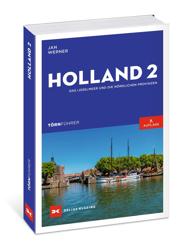
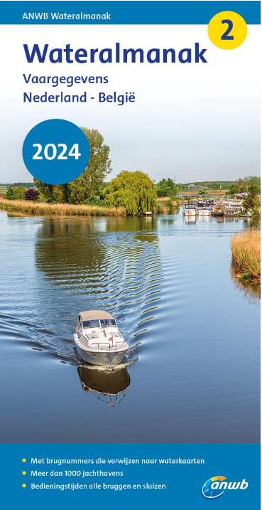
Törnführer Holland 2 - Das IJsselmeer und die nördlichen Provinzen
Description
District information for the IJsselmeer and the northern part of the Netherlands with trip descriptions
The Trip Guide Holland 2 gives valuable nautical information on the inland waters in the north of the Netherlands and for the IJsselmeer Friesland and Groningen. Paperback with 224 pages text in German incl. nautical lexicon bridge heights and lock times. Richly supplemented by approx. 75 map extracts and many photographs.
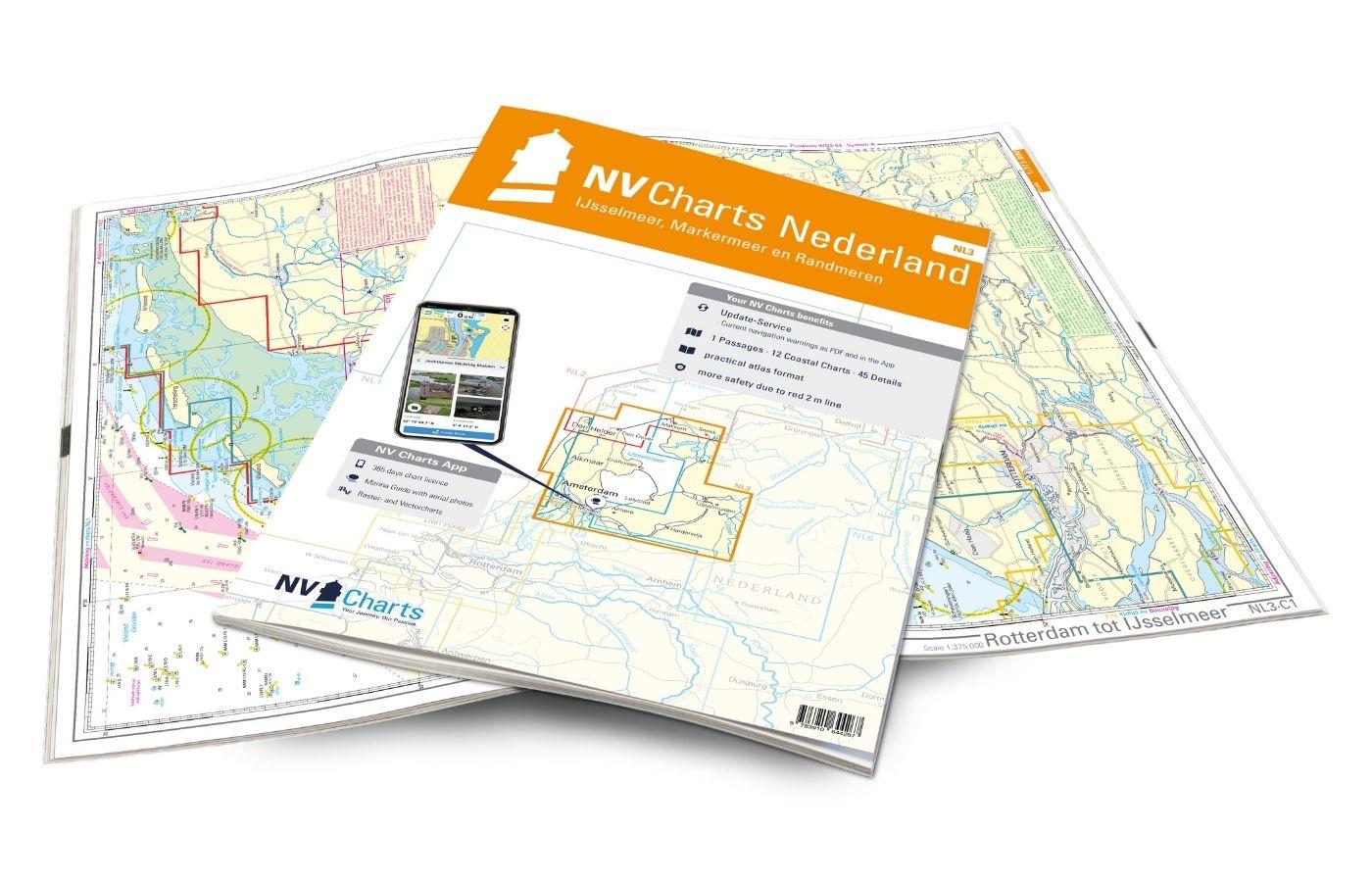
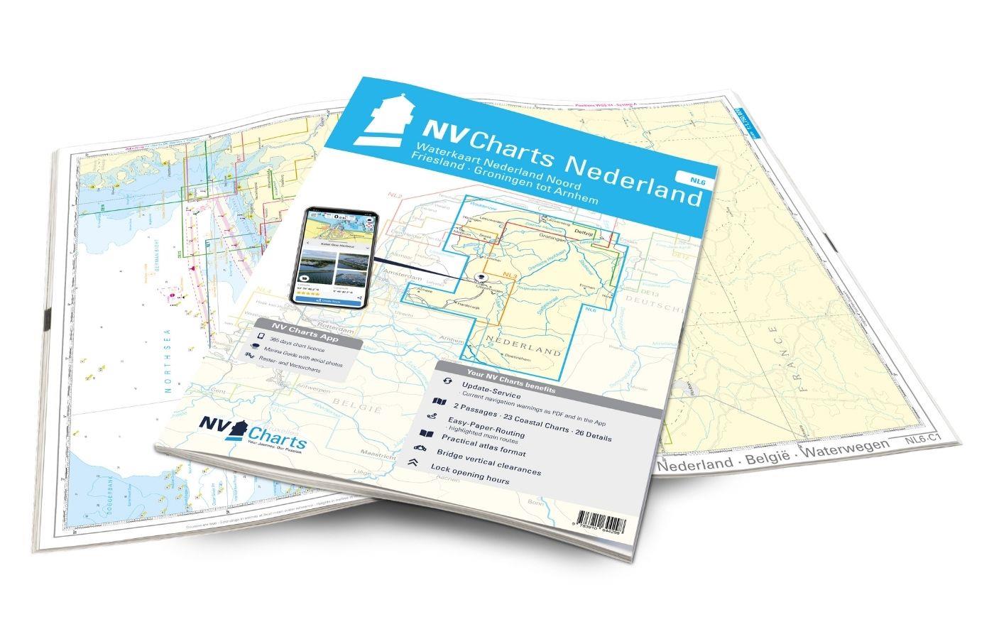
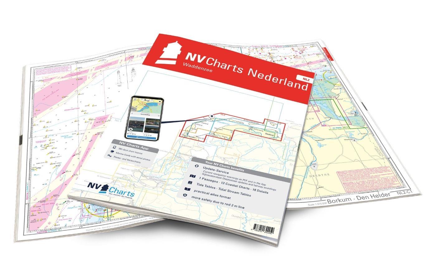
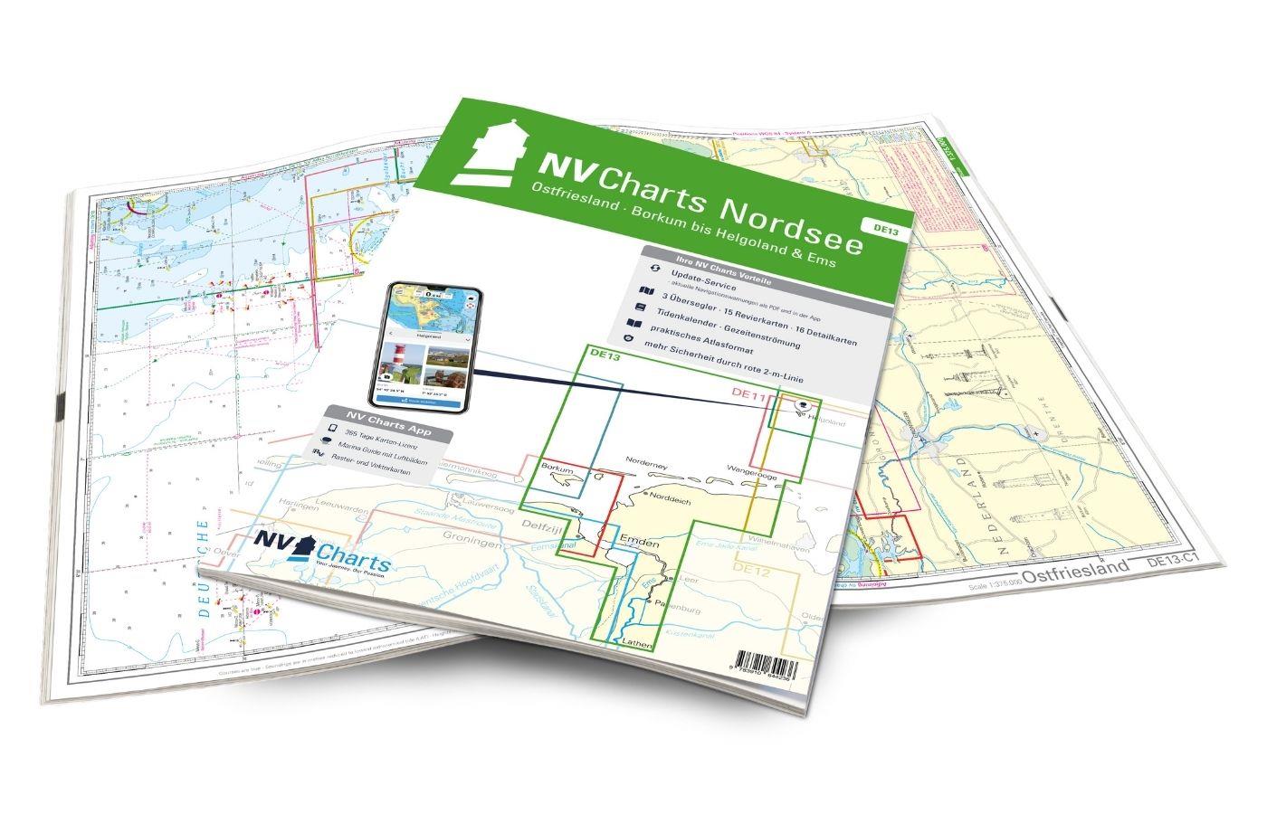
This cruising guide together with the NV Charts for the Netherlands is our equipment recommendation for your boating holiday in Holland !
Coverage
Jan Werners Cruising Guide to Holland consists of two volumes and is a comprehensive presentation of the popular water sports areas in the Netherlands.
The second volume for the north covers the IJsselmeer from Amsterdam via Hoorn Maakum and Urk to Muiden the waters of Friesland the Staande Mastroute from Delzijl to Harlingen the Moorland on Overijssel the area of Norrd-Holland as well as Noord-Oost-Holland from Meppel to the Dollart.
In volume 1 the southern parts of the Netherlands are described. Only volume 1 contains a general part on "Country and People" with extensive introduction and background information navigation rules as well as travel tips. Touring Guide Holland 1
Content and overview of suggested cruises
The Touring Guide Holland II is divided into three sections plus an index. The Trip suggestions are grouped into two sections for the IJsselmeer and Northern Provinces regions. This is followed by a practical Nautical Holland Lexicon.
- IJsselmeer
- The west coast from Amsterdam to Hoorn
- The northern IJsselmeer
- The east coast from Makkum to Urk
- The Marginal Seas
- The Northern Provinces
- Inland with standing mast from Delfzijl to Harlingen
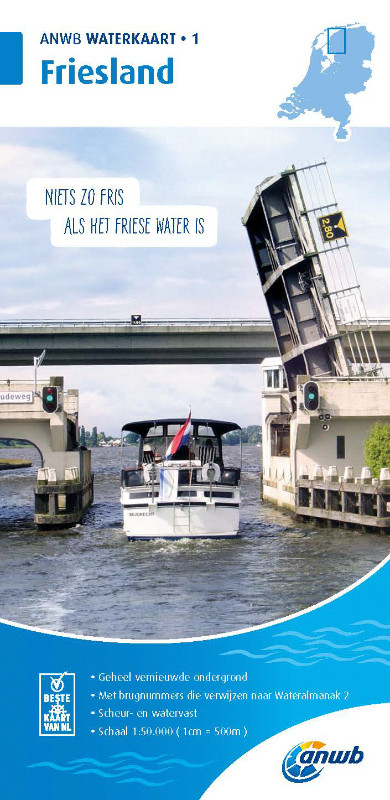
- Friesland
- At the head of Overijssel
- Noord-Holland
- Noord-Oost-Holland
- Nautical Holland Dictionary
| Author: | Jan Werner |
|---|---|
| Format: | Softcover / Taschenbuch |
| Language: | Deutsch |
With the help of our area preview, you can get an impression of which geographical region the product deals with or which areas a nautical chart covers.
Related products to this item
Reviews
Login

