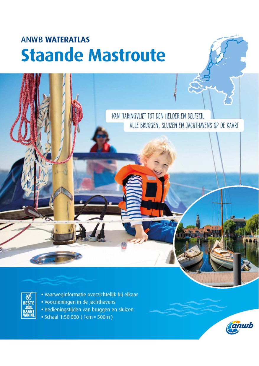
ANWB Staande Mastroute

Chart ID: ANWB Staande Mastr.
Scale: 1:50.000

€21.99*


Product number: 30849

Description

ANWB Wateratlas Stande Mastroute

(Softcover approx. 295x245cm) Haringvliet/Eems-Dollard. Includes the inland route to Den Helder.

The standing mast route is the alternative to the North Sea route for North Sea sailors. The route goes from Haringvliet to Delfzijl on the Dollard and vice versa.
A surprising perspective for those who have outgrown long inland waterways. The entire route has been mapped in this atlas based on the existing ANWB water charts. For convenience you will find the hours of operation and the extensive facilities in the marinas directly on the map sheets. Only marinas with berths for vessels with a draught of 1.50 m or more are listed. Here the entire route is divided into five parts with the map image being followed by the route description of the waterways and the icing of the route

  • Route 1 Haringvliet to Amsterdam
  • Route 2 Alternative route via Leiden and Haarlem
  • Route 3 Alternative route North Sea Canal - Den Helder
  • Route 4 Amsterdam to Lemmer
  • Route 5 Lemmer to Delfzijl

The naviagtorically necessary information is not complete: Navigation signs are complete depth indications only sparsely marked. Depth contours are missing

The bridges and structures are numbered and refer to the structure number of the Wateralmanak 2. Scale 1:50.000.
In Dutch with Dutch/English/German legend. Legend . 60 pages 2019.

Language: Niederländisch
Region: Niederlande, Binnen
Area preview

With the help of our area preview, you can get an impression of which geographical region the product deals with or which areas a nautical chart covers.

Related products to this item

Related products to this item

Gebietsvorschau für ANWB Wateralmanak 2 (Brückenzeiten) öffnen
-12 %
ANWB Wateralmanak 2 (Brückenzeiten)
Wateralmanak 2 Sound signals of the Inland Police (BPR) and the Rhine Police (RPR)This almanac includes the opening hours of all bridges and locks in the Netherlands and Belgium. The&nb

€21.99* €25.00* (12.04% saved)
-4 %
ANWB Wateralmanak 1 2023/2024
Available at the end of MarchMandatory equipment in the NetherlandsThe Wateralmanak 1 contains all the legal requirements for the Netherlands and Belgium that must be carried along when sailing there.

€20.90* €21.99* (4.96% saved)
Gebietsvorschau für ANWB Waterkaart Nederland öffnen
ANWB Waterkaart Nederland
Inland map of the Dutch inland waterwaysFolded map for Dutch inland waterways double-sided printed in full colour on thin art paper. Landscape format 100 x 70 cm (folded 25 x 125 cm). The map includes

€12.99*
Gebietsvorschau für NL 1810 öffnen
NL 1810
NL 1820 Ijsselmeer met Randmeren en Noordzeekanaal.The IJsselmeer is probably the most popular Dutch sailing area. It offers a variety of nice harbours and towns so that a whole trip can easily be spe

€36.50*
Gebietsvorschau für ANWB Waterkaart 13 - West-Brabant öffnen
ANWB Waterkaart 13 - West-Brabant
ANWB Waterkaart 13 Netherlands inland map for the area of West BrabantThis maritime region of the Netherlands attracts numerous visitors on land and water every year.Folding map for Dutch inland a

€17.99*

Reviews

0 of 0 reviews

Leave a review!

Share your experiences with other customers.


Gebietsvorschau für ANWB Waterkaart 17 - Maas-Zuid öffnen
ANWB Waterkaart 17 - Maas-Zuid
Netherlands inland map for the Maas-zuid regionVarious - this describes the region depicted in Waterkaart 17 very well here nature lovers get their moneys worth but also vibrant cities like Maastricht

€17.99*
Gebietsvorschau für ANWB Waterkaart 20 - Wadden öffnen
ANWB Waterkaart 20 - Wadden
Wadden - ANWB Waterkaart 20This map is not suitable for navigation.The Dutch inland waterway Twente Canal connects the overijsselsche region with the geldersche Ijssel.Folding map for Dutch inland wat

€17.99*
Gebietsvorschau für ANWB Waterkaart 10 - Noord-Holland öffnen
ANWB Waterkaart 10 - Noord-Holland
Netherlands inland map Noord-HollandThis map shows the northwestern province of Noord-Holland of the Netherlands. The elongated peninsula is one of the most diverse provinces. This nautical map takes

€17.99*
Gebietsvorschau für ANWB Waterkaart 16 - Noord-Brabant/Maas-Noord öffnen
ANWB Waterkaart 16 - Noord-Brabant/Maas-Noord
District map for Noord-Brabant/Maas-NoordFolding map for Dutch inland district double-sided full-colour printed on thin art paper. Landscape format 100 x 70 cm (folded 25 x 125 cm). The map includ

€17.99*
Gebietsvorschau für ANWB Waterkaart 18 - Ijsselmeer-Markermeer / Randmeeren öffnen
ANWB Waterkaart 18 - Ijsselmeer-Markermeer / Randmeeren
Netherlands inland map IJsselmeer Markermeer RandmerenThe north-eastern province of Drenthe is known for its semi-natural national parks and green landscapes through which navigable waterways run.Fold

€17.99*
Gebietsvorschau für ANWB Waterkaart 4 - Drenthe öffnen
ANWB Waterkaart 4 - Drenthe
Drenthe - Netherlands Inland MapThe north-eastern province of Drenthe is known for its semi-natural national parks and green landscapes with navigable waterways running through them.Folding map for Du

€17.99*
Gebietsvorschau für ANWB Waterkaart Amsterdam öffnen
ANWB Waterkaart Amsterdam
Inland map for AmsterdamAmserterdam - the capital of the Netherlands captivates thousands and thousands of tourists every year. The city has something to offer for everyone and is well suited for a st

€12.99*
Gebietsvorschau für ANWB Waterkaart 2 - Noord-Groningen öffnen
ANWB Waterkaart 2 - Noord-Groningen
Netherlands inland map for Noord-GroningenThe region around Groningen consists of water and marshland as well as sand and moors lined with meadows and forests along the waterways. On the coast seals b

€17.99*
Gebietsvorschau für Törnführer Holland 2 - Das IJsselmeer und die nördlichen Provinzen öffnen
Törnführer Holland 2 - Das IJsselmeer und die nördlichen Provinzen
District information for the IJsselmeer and the northern part of the Netherlands with trip descriptionsThe Trip Guide Holland 2 gives valuable nautical information on the inland waters in the north of

€39.90*
Gebietsvorschau für ANWB Waterkaart 8 - Grote Rivieren öffnen
ANWB Waterkaart 8 - Grote Rivieren
ANWB 8: Dutch inland map for Grote RivierenGrote Rivieren - This region is one of the most popular holiday regions in the Netherlands and impresses with its vibrant diversity.Folding map for D

€17.99*