NL 1803

Chart ID: NL 1803

€36.50*


Product number: 20788

Description

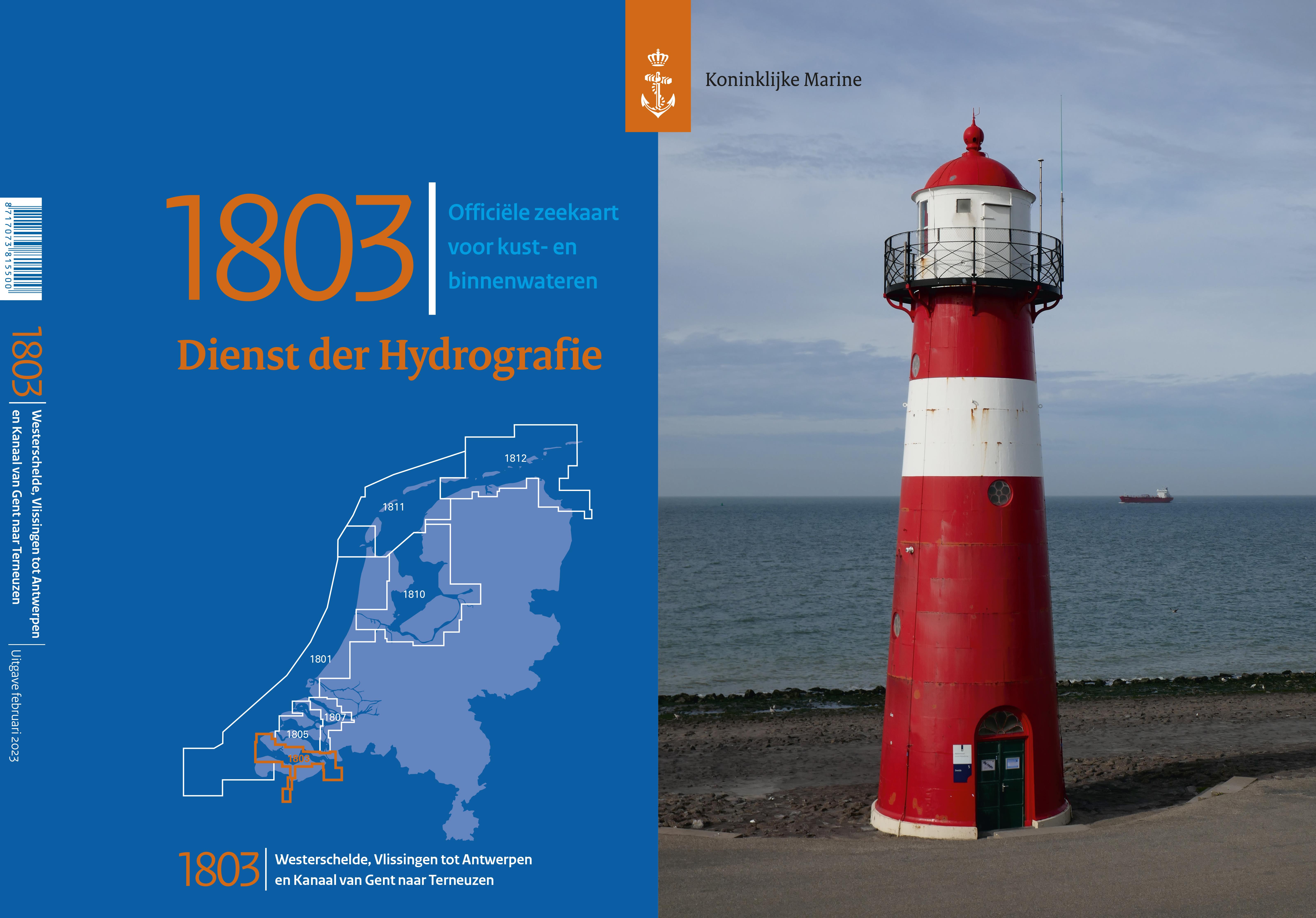
NL 1803 Westerschelde Vlissingen tot Antwerpen en Kanaal van Gent naar Terneuzen

This Dutch nautical chart covers the southernmost part of the Dutch inland areas where one encounters a labyrinth of waterways and can get to know the whole variety of Dutch water types.

Chart format

Dutch recreational boat charts are handy charts in the format 52 x 38 cm. They contain all the necessary map sections for the respective areas in the best scales. They are printed in colour are very clear and as a special feature contain prominent landmarks in graphic representation.

Update

The official nautical charts of the Netherlands Hydrographic Service are reissued at irregular intervals. Mostly the intervals are between 2 and 3 years. One of the disadvantages of these charts is that they are not always published in the early part of the year but are distributed throughout the year.
You can however find out about changes in the nautical charts on the website of the Netherlands Hydrographic Service via the Notices to Mariners.

Sport boat charts of the Netherlands Hydrographic Service

The Hydrographic Service of the Royal Netherlands Navy informs mariners about shipping routes the seabed and underwater hazards such as shipwrecks. For this purpose the Hydrographic Service compiles nautical charts carefully records the maritime borders of the Netherlands and carries out depth measurements. For recreational navigation 7 sets of nautical charts are published each of which covers a section of the coast

Recommendation

If you value topicality in nautical charts you should rather opt for the NV Charts NL5. This is published annually in March and is therefore usually much more up-to-date than the 1800 nautical charts. In addition with NV Charts you get a monthly correction service for 1 year over the summer months.

Format: Plano & Einzelkarten
Area preview

With the help of our area preview, you can get an impression of which geographical region the product deals with or which areas a nautical chart covers.

Related products to this item

Related products to this item

NL 1805*
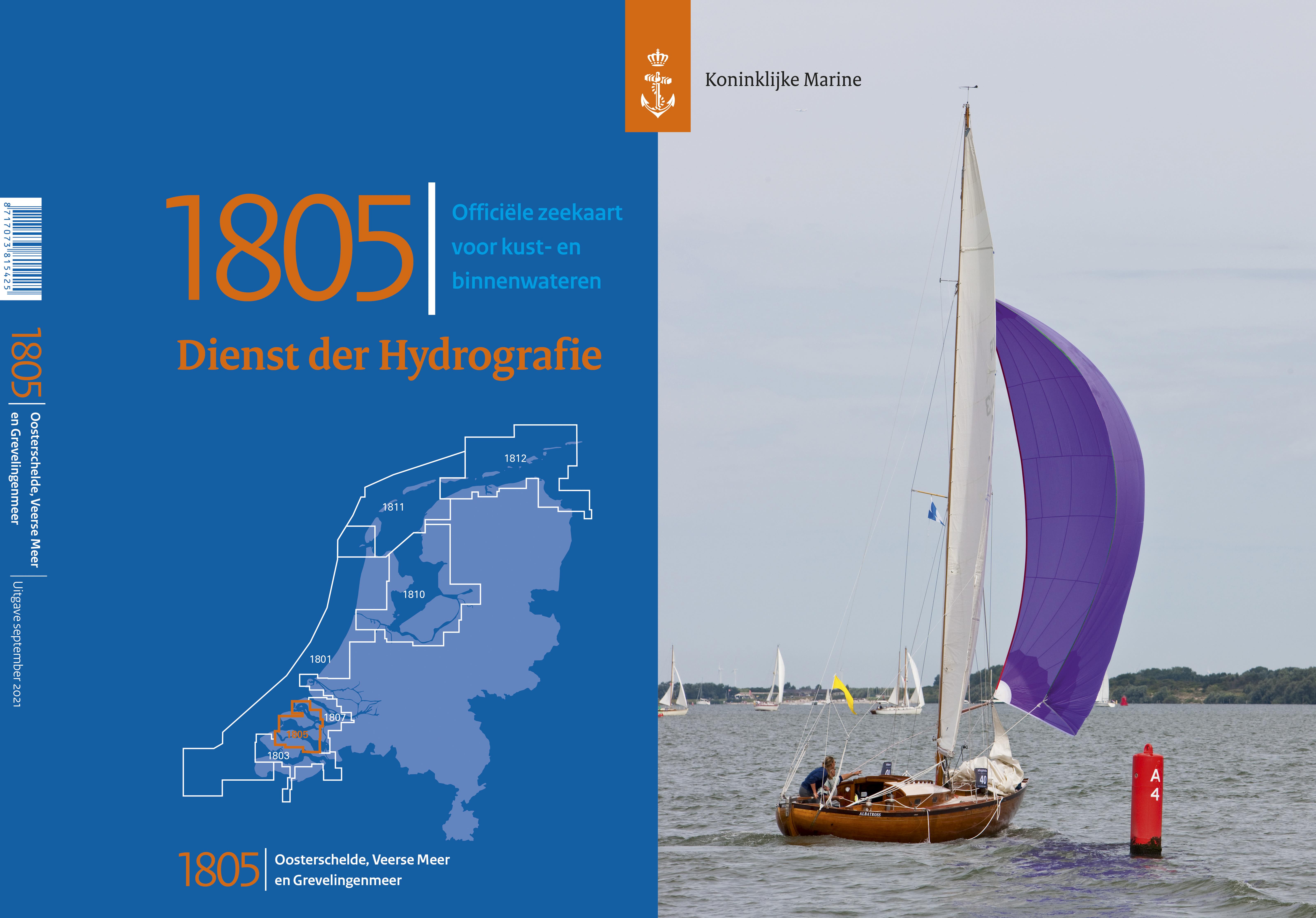
NL 1805 Oosterschelde Veerse Meer en GrevelingenmeerThis Dutch nautical chart covers part of the southern Dutch inland areas where you can encounter a labyrinth of waterways and get to know the whole

€36.50*
NL 1807
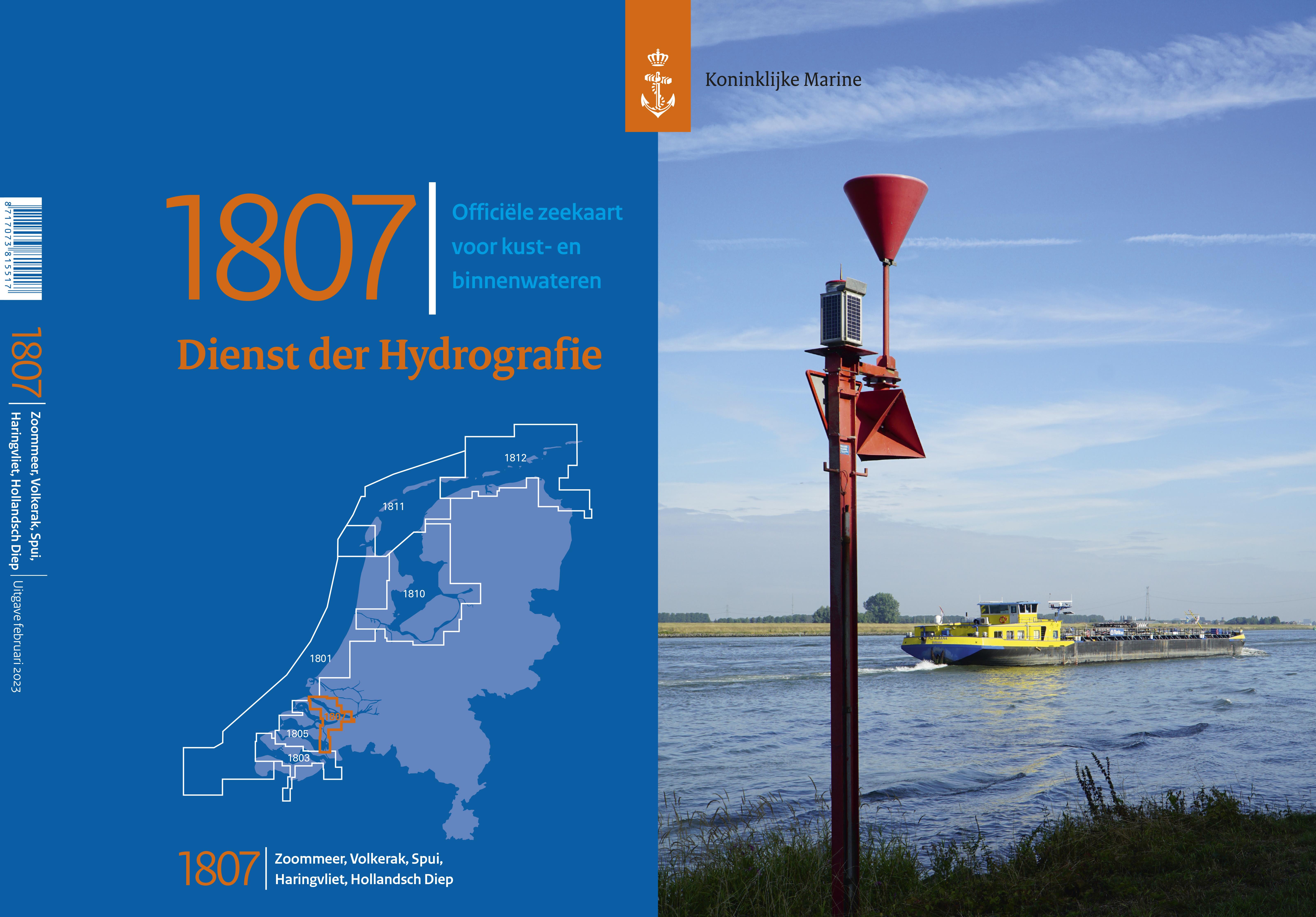
NL 1807 Zoommeer Volkerak en Spui Haringvliet Hollandsch DiepThis Dutch nautical chart covers part of the southern Dutch inland areas where you can encounter a labyrinth of waterways and get to know t

€36.50*
NL 1801
NL 1801 Noordzeekust De Panne tot Den HelderThis Dutch nautical chart covers the Dutch coast from the Wadden Islands (Den Helder) to the Belgian border.Chart formatDutch recreational boat charts are h

€36.50*
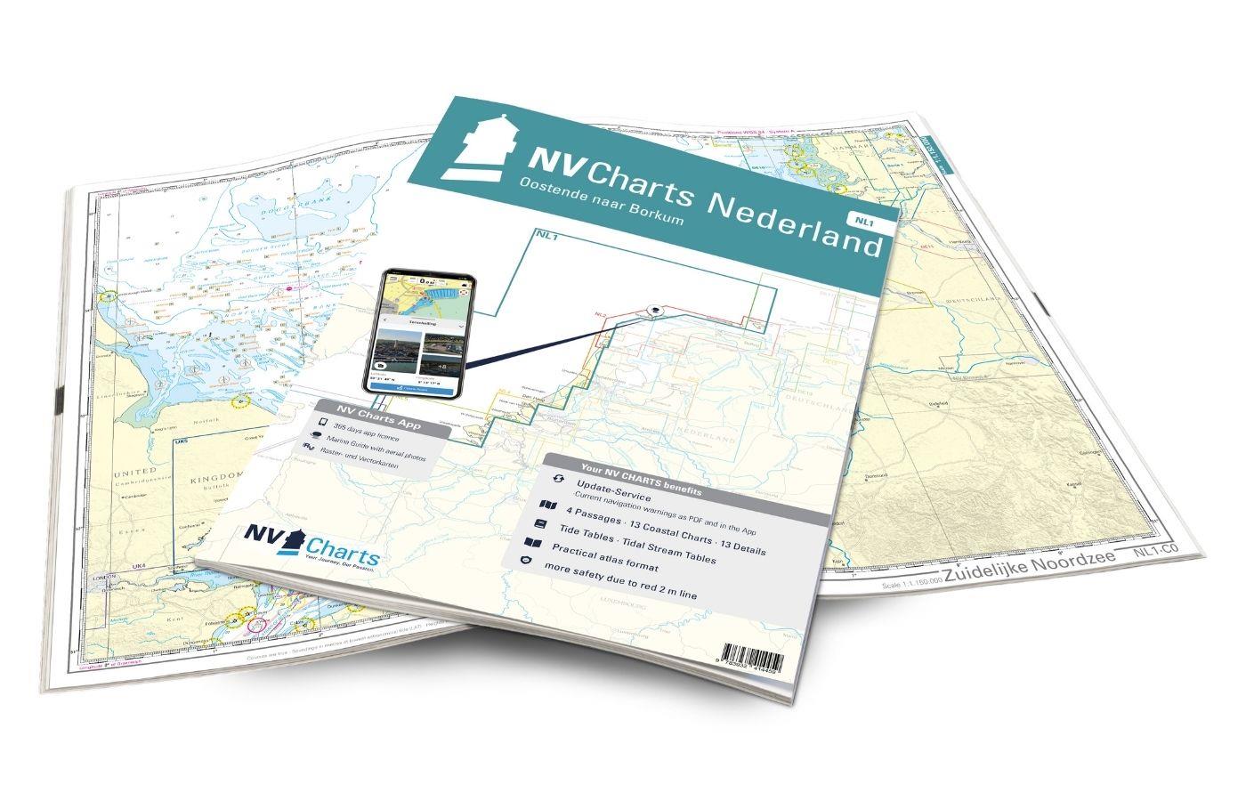
NV Charts Nederland NL1 - Borkum naar Oostende
The NV Charts Nederland NL1 Oostende naar Borkum  is a chart series specially designed for recreational boating and contains the nautical charts in various sizes, as well as all harbour plans and

Variants from €51.99*
€64.99*
NL 1810
NL 1820 Ijsselmeer met Randmeren en Noordzeekanaal.The IJsselmeer is probably the most popular Dutch sailing area. It offers a variety of nice harbours and towns so that a whole trip can easily be spe

€36.50*
NL 1811
NL 1811 Waddenzee westblad en angrenzende NordzeekustThe Waddenzee covers the Dutch part of the Waddenzee and extends from the mainland and the final dike to the offshore Wadden islands and is a stron

€36.50*
NL 1812
NL 1812 Waddenzee ostblad en aangrenzende NordzeekustThe Waddenzee covers the Dutch part of the Wadden Sea and extends from the mainland and the final dyke to the offshore islands and is a strong sail

€36.50*

Products near this article

Products near this article

NV Charts Nederland NL5 - Ooster & Westerschelde
On your journey through the delta region Oosterschelde and Westerschelde the NV Charts Nederlend NL5 Atlas is the perfect travelling companion. The chart series, specially designed for recreational bo

Variants from €51.99*
€64.99*
NV Charts Nederland NL4 - Rijn & Maas Delta
For the water sports area around Rotterdam, the southern part of the famous "Staande Mastroute" and the Maas Delta, the NV Charts NL4 Atlas Rijn and Meuse Delta is the perfect companion. The chart ser

Variants from €51.99*
€64.99*
NV Charts Nederland NL1 - Borkum naar Oostende
The NV Charts Nederland NL1 Oostende naar Borkum  is a chart series specially designed for recreational boating and contains the nautical charts in various sizes, as well as all harbour plans and

Variants from €51.99*
€64.99*
NL 1805*
NL 1805 Oosterschelde Veerse Meer en GrevelingenmeerThis Dutch nautical chart covers part of the southern Dutch inland areas where you can encounter a labyrinth of waterways and get to know the whole

€36.50*
ANWB Waterkaart 13 - West-Brabant
ANWB Waterkaart 13 Netherlands inland map for the area of West BrabantThis maritime region of the Netherlands attracts numerous visitors on land and water every year.Folding map for Dutch inland a

€17.99*
NL 1807
NL 1807 Zoommeer Volkerak en Spui Haringvliet Hollandsch DiepThis Dutch nautical chart covers part of the southern Dutch inland areas where you can encounter a labyrinth of waterways and get to know t

€36.50*
NL 1801
NL 1801 Noordzeekust De Panne tot Den HelderThis Dutch nautical chart covers the Dutch coast from the Wadden Islands (Den Helder) to the Belgian border.Chart formatDutch recreational boat charts are h

€36.50*
ANWB Waterkaart 12 - Hollandse Delta
Dutch inland map for Hollandse DeltaThis inland map shows the area around the mouth of the river Maas and Rotterdam the area is suitable for motorboats as well as for sailors.Folding map for Dutch

€17.99*
ANWB Waterkaart 19 - Nederlandse Kust
Wadden - ANWB Waterkaart 20This map is not suitable for navigation.Folding map for Dutch inland waterways double-sided full-colour printed on thin art paper. Landscape format 100 x 70 cm (folded 25 x

€17.99*
ANWB Waterkaart 11 - Hollandse Plassen
Hollandse Plassen - Best inland map The Hollandse Plassen is also called the sea behind the dikes and is probably the area of the Netherlands with the most windmills. The cruising area is

€17.99*

Reviews

0 of 0 reviews

Leave a review!

Share your experiences with other customers.