
BoatView Harbour Guide - the NV Charts App Community Layer
The BoatView Harbour Guide is the community layer of the NV Charts App with many interesting POIs and opportunities to interact with friends and the BoatView community. Discover new favourite places here and share them directly in the NV Charts App or online in the browser with the BoatView website.
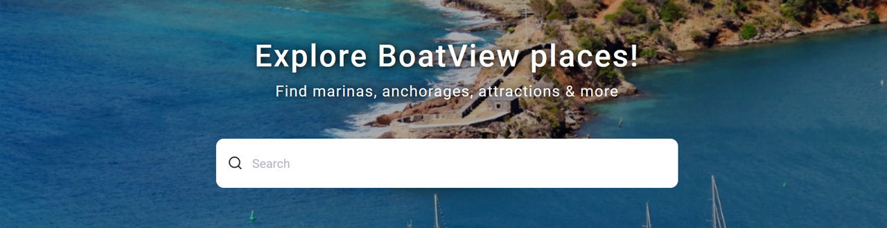
Make BoatView your harbour guide
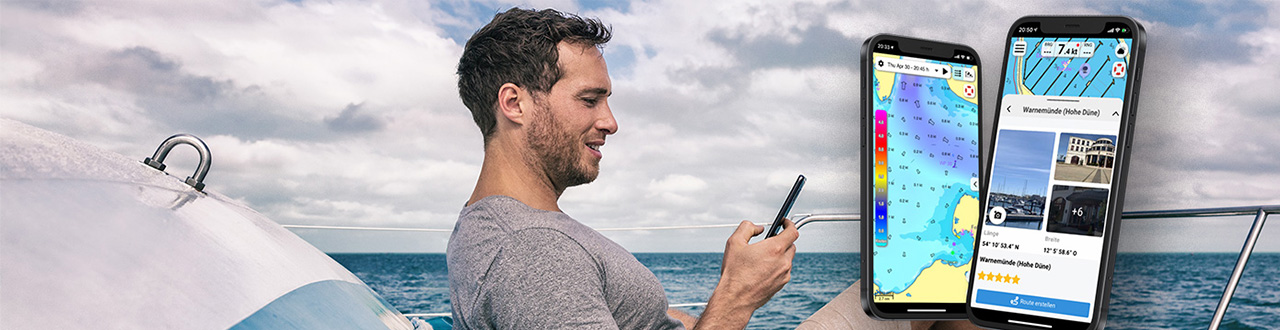
Together navigation on board is even more fun - BoatView as part of the NV Charts App
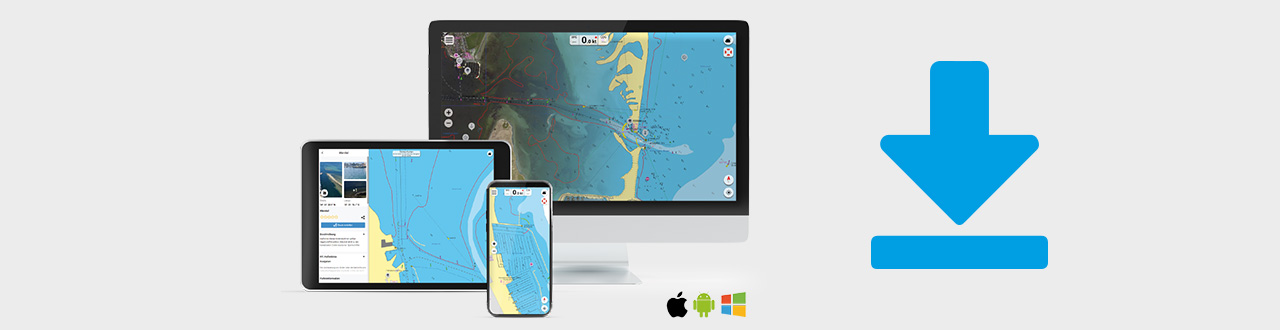
In the NV Charts App you have the possibility to become part of the chart community yourself and to use all advantages and functions of the integrated BoatView harbour guide. Favourite harbours and anchorages, for example, can be added with pictures and shared with the community. Shops and other businesses of interest can also be created as POIs in the app. Users of the app can react directly with comments. The continuously edited content can be downloaded so that it can also be viewed offline. In this way, the database of the BoatView harbour guide is continuously expanding and you can easily view your harbours and anchorages along the route before the start of the cruise and make individual decisions about the itinerary. Let's go!
The BoatView website - view your favourite places and port information online in your browser.
Even outside the NV Charts app, you can use BoatView to view current information about ports, marinas or other POIs and then plan your trip. You can do this without logging in - just open the website and search for places or get inspired by the top categories and daily updated articles or pictures.
Use BoatView in the app or online in the browser?
Quite clearly - both
- The app with BoatView functionalities provides optimal support during the trip for detailed planning or if something changes due to wind and weather.
- You can quickly and easily share exciting POIs with friends or the community and receive messages directly for viewing if you want.
- Navigation and POIs are right next to each other and can be combined perfectly.
- A wonderful addition to the app is the Augmented Reality (AR) option, with which you can get POIs displayed in real time via the camera of your mobile device.
- With the web version at Boatview.com, you cannot plan a route, but you do get a map view and can look at the area for rough planning.
Web version is a good addition
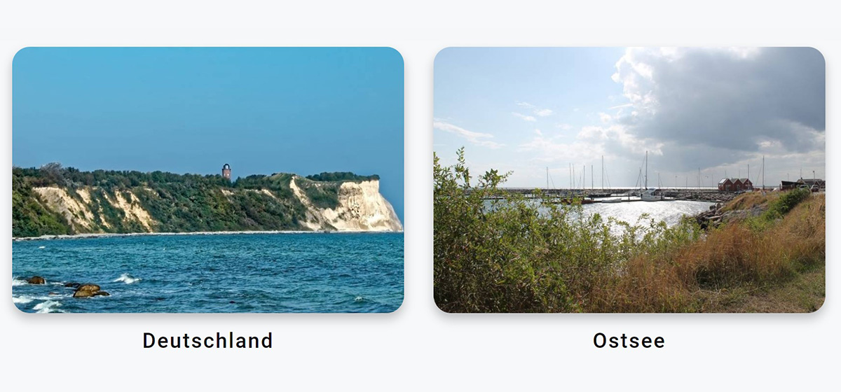
- Get an insight into cruising grounds and regions without logging in.
- If itinerary and holiday planning are in progress and you would like to get more information.
- When viewing on a PC/Mac with a large monitor without using the NV Charts web app.
- At this point, navigation is not yet a decisive factor in contrast to using the app while on the water.
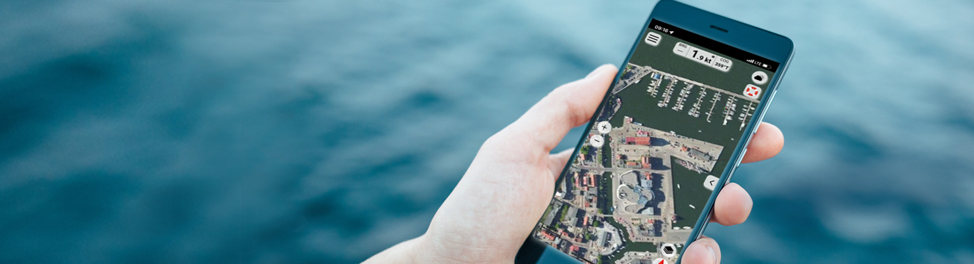
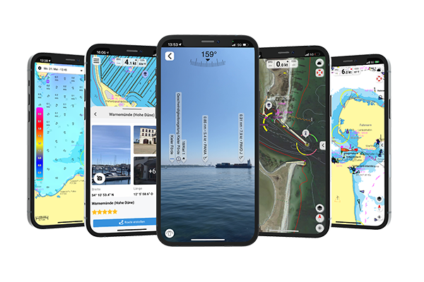
At a glance - BoatView functions as part of the NV Charts App
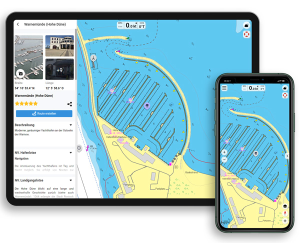
- POI view in the app: POIs can be opened by simply tapping on them, information is displayed.
- Create your own POIs with pictures and additional information or add current data to existing POIs.
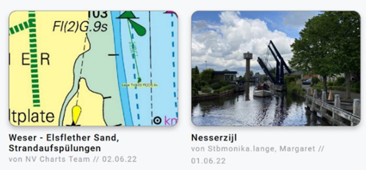
- If there are several pictures of the POI, they are displayed in a picture gallery.
- You can rate and comment on POIs and thus inform the community.
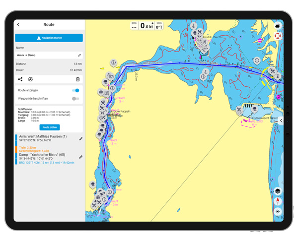
- Navigate to your favourite POI: Simply select the POI and use "Create route" to automatically set a navigation to the previously selected POI. Here you can also see how long it will take to reach your new favourite location (distance and duration).
- Notifications for POIs: The NV Charts app allows you to display messages on the lock screen of your device. This way you can stay up to date with navigation alerts and POIs.
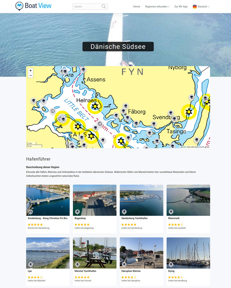
BoatView website: Choose your top category and find out more
Overview of daily pictures and contributions
Online planning with current nautical charts - BoatView website sample view
NV Charts App features that support BoatView
- POI view in the app
- Satellite overlay
- Augmented Reality (AR)
- Direct navigation to POI
- POI search
- Weather overlay around your navigation and POIs
- Tide calculation to POI