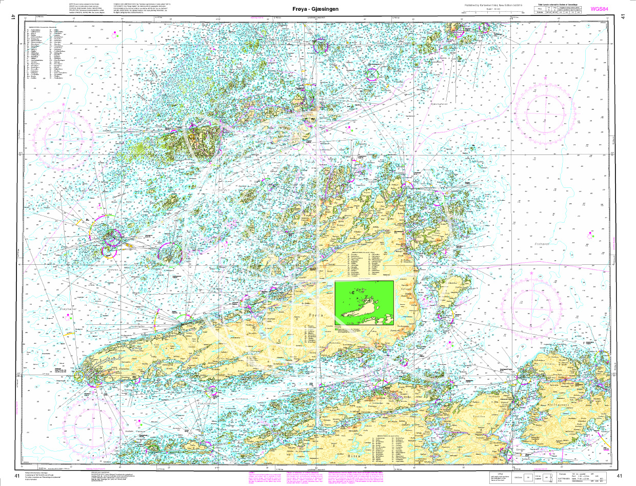
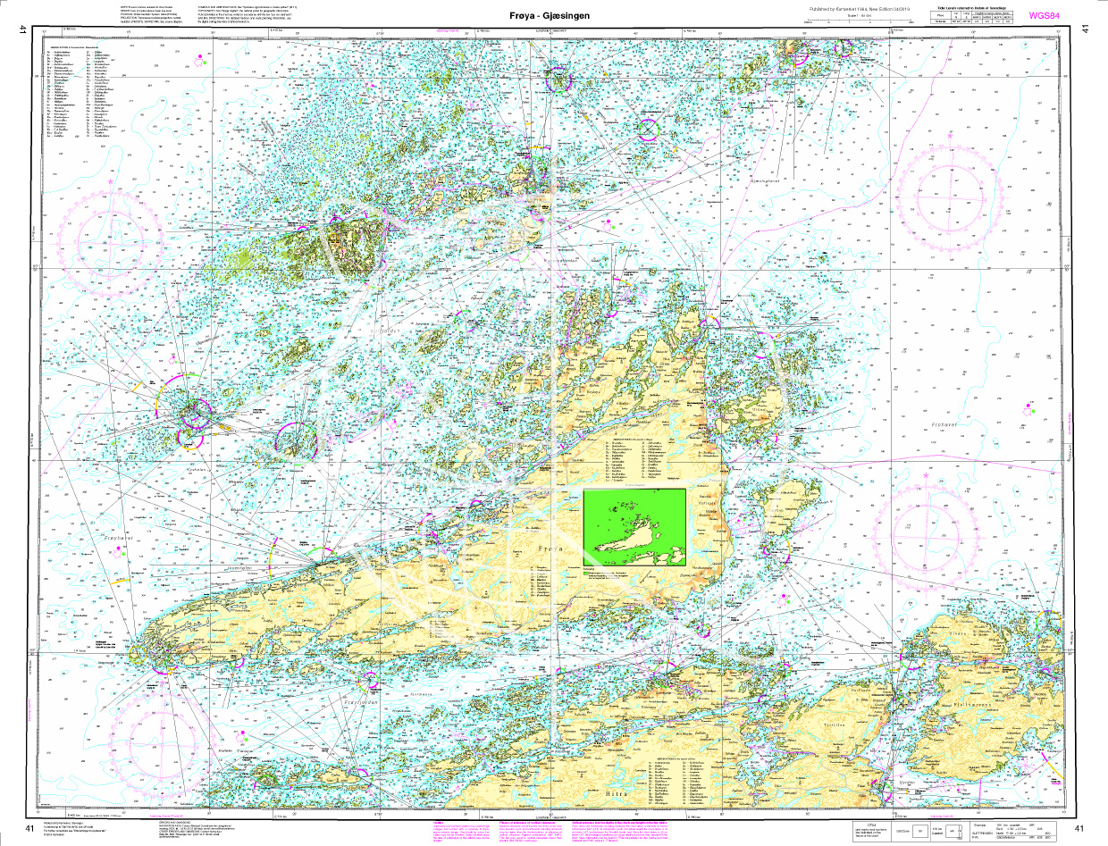
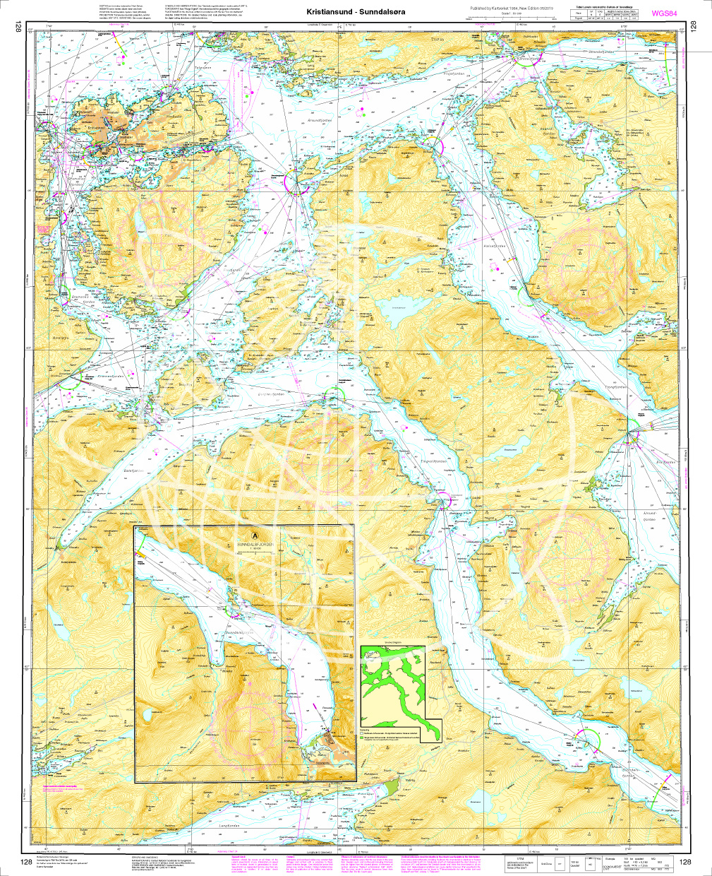
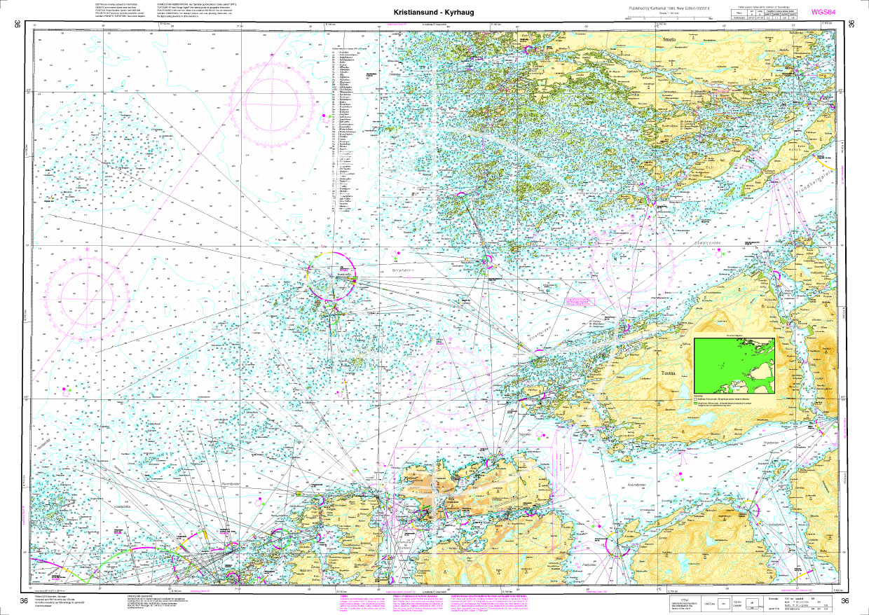
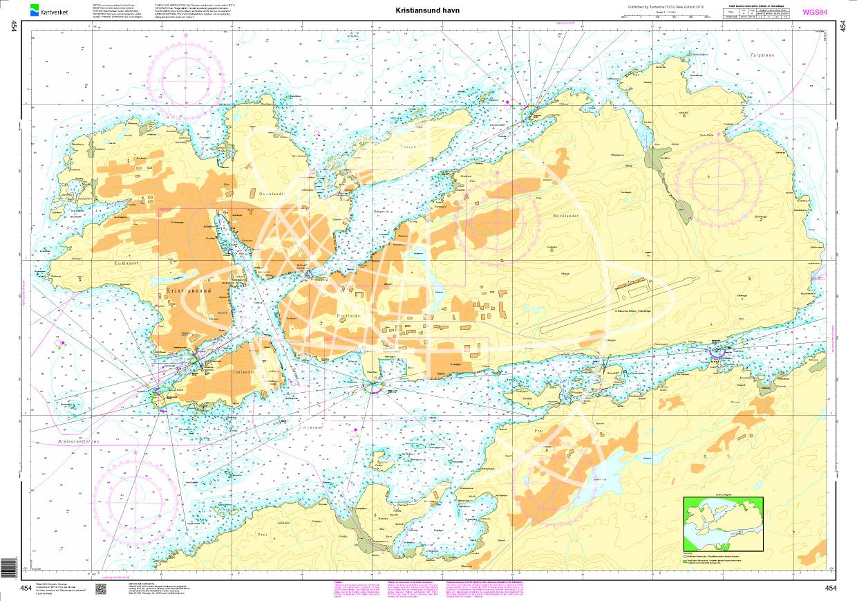
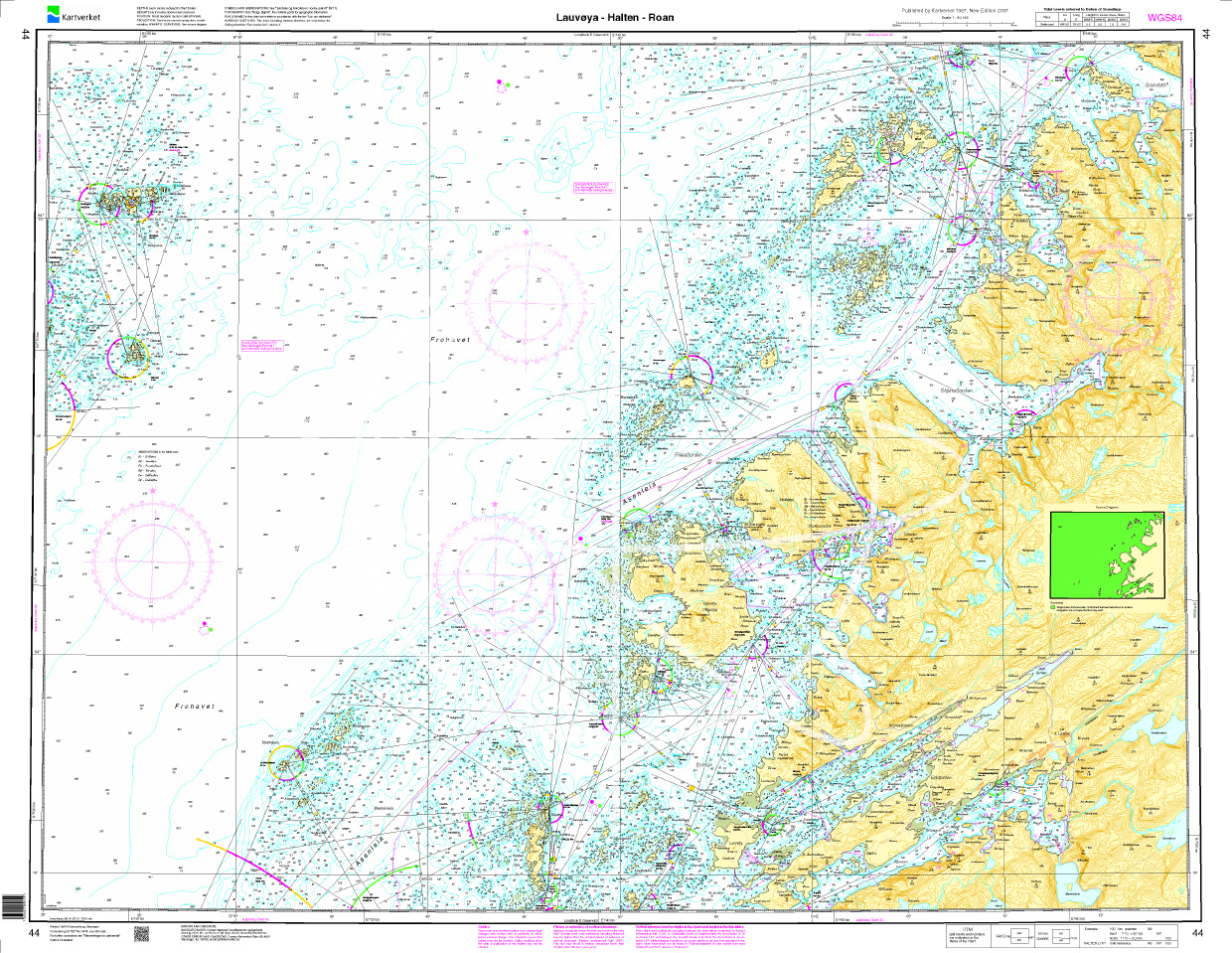
Norwegen N 41 Atlantik von Frøya bis Gjæsingen

Chart ID: NOR 41
Scale: 1:50.000

€27.70*


Product number: 20542

Description

The Map N 41 includes the waterways from Frøya to Gjæsingen. The detailed scale is 1:50000. 

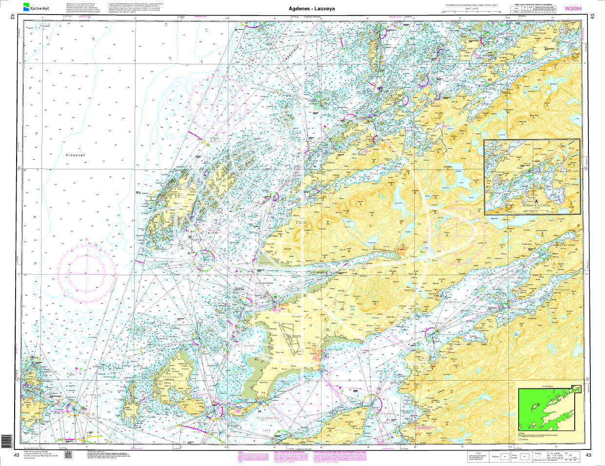
As additional maps we recommend  N 43 (Agdenes - Lauvøya). 

We print the maps on customer request from the current data sets of the Norwegian Bureau of Hydrography using the print-on-demand (POD) method.


POD maps are excluded from exchange.


The official Norwegian nautical charts are not only suitable for water sports enthusiasts and anglers for navigation but are also very popular with cruise tourists.

For more information on the official Norwegian nautical charts printed by HanseNautic using the print-on-demand (POD) process please click here

Region: Europa, Atlantik, Norwegen
Size: Einzelkarte Papier
Area preview

With the help of our area preview, you can get an impression of which geographical region the product deals with or which areas a nautical chart covers.

Related products to this item

Related products to this item

Gebietsvorschau für Norwegen N 37 Atlantik vom Leuchtfeuer Tyrhaug bis Trondheimsleia öffnen
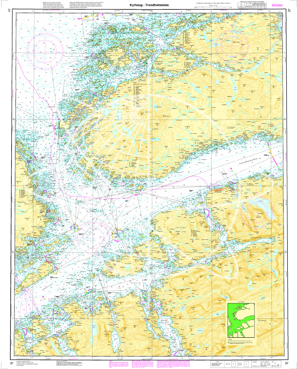
Norwegen N 37 Atlantik vom Leuchtfeuer Tyrhaug bis Trondheimsleia
The map N 37 includes the waterways between the Tyrhaug whooping fire and the 94km-long strait Trondheimsleia which runs between the islands Smøla and Hitra and the mainland municipalities Aur

€27.70*
Gebietsvorschau für Norwegen N 40 Atlantik Smøla öffnen
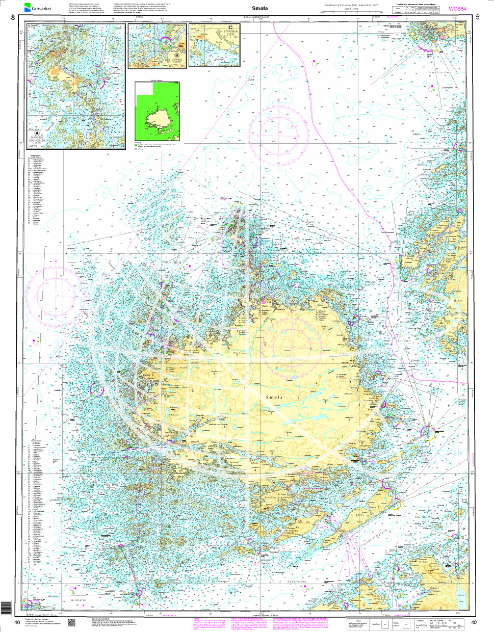
Norwegen N 40 Atlantik Smøla
The Map N 40 is concerned only with the island of Smøla and all the small islands that are in the immediate vicinity. The detailed scale is 1:50.000. As an additional map we recommend

€27.70*
Gebietsvorschau für Norwegen N 42 Atlantik von Gjæsingen bis Halten öffnen
Norwegen N 42 Atlantik von Gjæsingen bis Halten
The Map N 42 shows the largest archipelago Gjæsingen with the connecting islands Foya and Halten located in the middle of the North Sea northwest of Trondheim. The detailed scale i

€27.70*
Gebietsvorschau für Norwegen N 43 Atlantik von Agdenes bis Lauvøya öffnen
Norwegen N 43 Atlantik von Agdenes bis Lauvøya
The Map N 43 represents the waterways from Agdenes to Lauvøya situated northwest of Trondheim. The detailed scale is 1:50.000. As additional maps we recommend N 41 (Frøya - Gjæ

€27.70*
Gebietsvorschau für Norwegen N 38 Atlantik Trondheimsleia. Terningen - Kyrksæterøra - Ørlandet öffnen
Norwegen N 38 Atlantik Trondheimsleia. Terningen - Kyrksæterøra - Ørlandet
The map N 38 is the continuation of N 37. The waterways from the Trondheimsleia strait are shown from Terningen via Kyrksæterøra to the south and north to Ørlandet. The detailed scale 

€27.70*
Gebietsvorschau für Norwegen N 36 Atlantik von Kistiansund bis Tyrhaug öffnen
Norwegen N 36 Atlantik von Kistiansund bis Tyrhaug
The Map N 36 represents the waters from Kristiansund to the Tyrhaug lighthouse which has to be passed on the waterway from Kristiansund to Trondheim. The detailed scale is 1:50.000

€27.70*

Reviews

0 of 0 reviews

Leave a review!

Share your experiences with other customers.


Gebietsvorschau für NV Charts Norway NO4 - Sørlandet Vest - Flekkefjord til Kristiansand öffnen
NV Charts Norway NO4 - Sørlandet Vest - Flekkefjord til Kristiansand
If you want to travel from North Jutland directly to the south-west coast of Norway, you should take the NV Charts Norway NO4 on board. The NV Charts for the Norwegian coast are based o

€74.99*
Gebietsvorschau für NV Charts Norway NO2 - Oslofjord Sør, Svenska Grensen til Kragerø öffnen
NV Charts Norway NO2 - Oslofjord Sør, Svenska Grensen til Kragerø
The NV Charts Atlas NO2 covers the southern Oslofjord. NV Charts for the Norwegian coast are based on data from the Norwegian Hydrographic Office and also include the harbour plans of the "Norske Los"

€74.99*
Gebietsvorschau für NV Charts Norway NO5 - Sørvestlandet Sør - Flekkefjord til Stavanger öffnen
NV Charts Norway NO5 - Sørvestlandet Sør - Flekkefjord til Stavanger
Your companion for the southwest coast of Norway: The NV Charts Norway NO5 . NV Charts for the Norwegian coast are based on data from the Norwegian Hydrographic Office and also include the h

€74.99*
Gebietsvorschau für NV Charts Norway NO1 - Oslofjord Nord, Oslo to Tønsberg öffnen
NV Charts Norway NO1 - Oslofjord Nord, Oslo to Tønsberg
The NV Charts Norway Atlas NO1 covers the region around Oslo. NV Charts charts for the Norwegian coast are based on data from the Norwegian Hydrographic Office and also include the harbour plans of th

€74.99*
Gebietsvorschau für NV Charts Norway NO3 - Sørlandet East - Kragerø to Kristiansand öffnen
NV Charts Norway NO3 - Sørlandet East - Kragerø to Kristiansand
The NV Charts Norway Atlas NO3 covers the southern coast of Norway up to Kristiansand. NV charts for the Norwegian coast are based on data from the Norwegian Hydrographic Office and also include the h

€74.99*
Gebietsvorschau für NV Charts Norway NO6 - Sørvestlandet Nord - Stavanger til Haugesund öffnen
NV Charts Norway NO6 - Sørvestlandet Nord - Stavanger til Haugesund
Would you like to travel to the fairytale fjords on the south-west coast of Norway? The NV Charts Norway NO6 Atlas is your reliable partner. NV Charts for the Norwegian coast are based

€74.99*