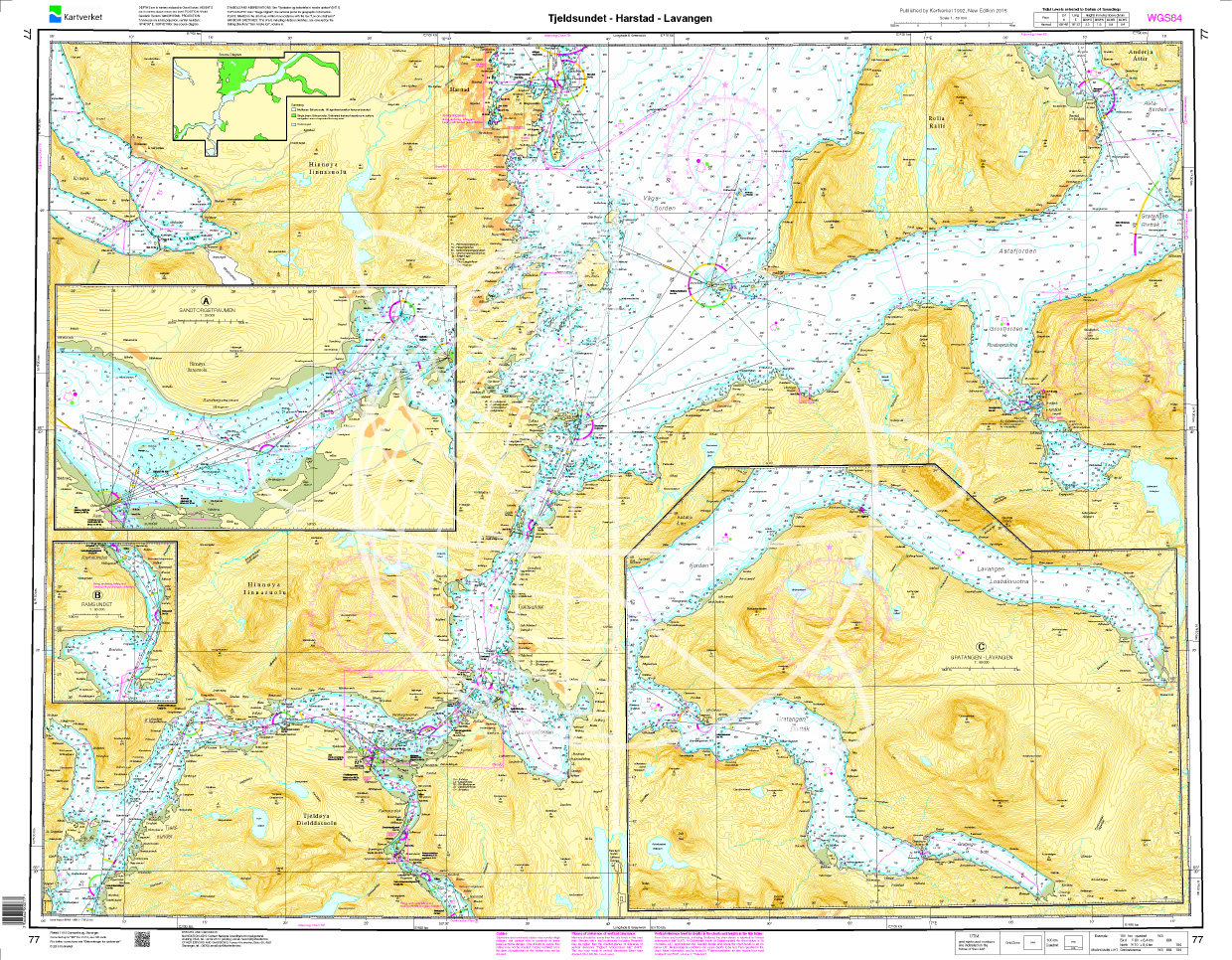
Norwegen N 77 Atlantik Tjeldsundet - Harstad - Lavangen
Description
The Sea Chart N 77 covers in detail the coasts of northern Norway at the level of the Lofoten Islands. This includes the Tjeldsund and the sea area from Harstad in the northwest to Lavangen in the east. Coastal charts / nautical chart scale 1:50000.
We print the charts on customer request from the latest data sets of the Norwegian Bureau of Hydrography using the print-on-demand (POD) method.
The 2020 edition takes into account the new beacons and beacon sectors introduced along the coast of Norway according to the IALA system. Further corrections concern bottom conditions depth indications speed limits and pipelines under water.
POD charts are excluded from exchange.
The official Norwegian nautical charts are not only suitable for water sports enthusiasts and anglers for navigating but are also very popular with cruise tourists.
For more information on the official Norwegian nautical charts printed by HanseNautic using the print-on-demand (POD) process please click here.
Excerpt from the Norwegian N 77 nautical chart with ZOC diagram. This shows the Zones of Confidence i.e. the accuracy of the surveys and depth data.

| Region: | Europa, Atlantik, Norwegen |
|---|---|
| Size: | Einzelkarte Papier |
With the help of our area preview, you can get an impression of which geographical region the product deals with or which areas a nautical chart covers.
Reviews
Login


