N 453 POD
Chart ID:
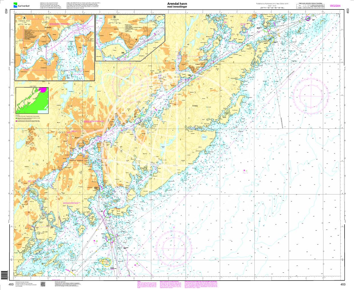
NOR 453
Scale:
1:20.000
Description
Arendal havn. Den Norske Kyst. - POD cards are excluded from exchange.
| Motiv: | Seekarte |
|---|---|
| Region: | Skagerak, Norwegen |
Area preview
With the help of our area preview, you can get an impression of which geographical region the product deals with or which areas a nautical chart covers.
Reviews
Login
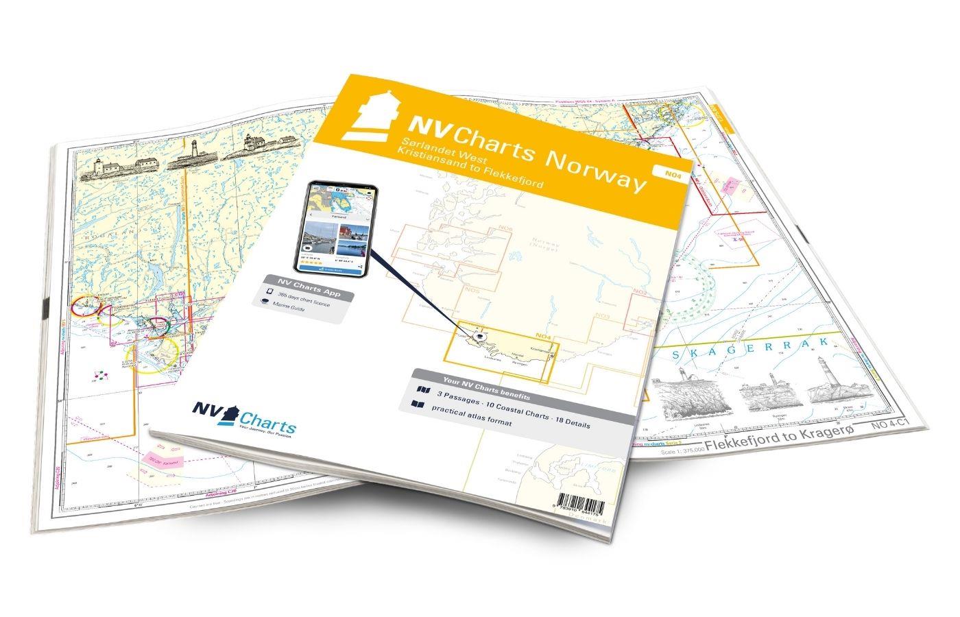
NV Charts Norway NO4 - Sørlandet Vest - Flekkefjord til Kristiansand
€74.99*
If you want to travel from North Jutland directly to the south-west coast of Norway, you should take the NV Charts Norway NO4 on board. The NV Charts for the Norwegian coast are based o
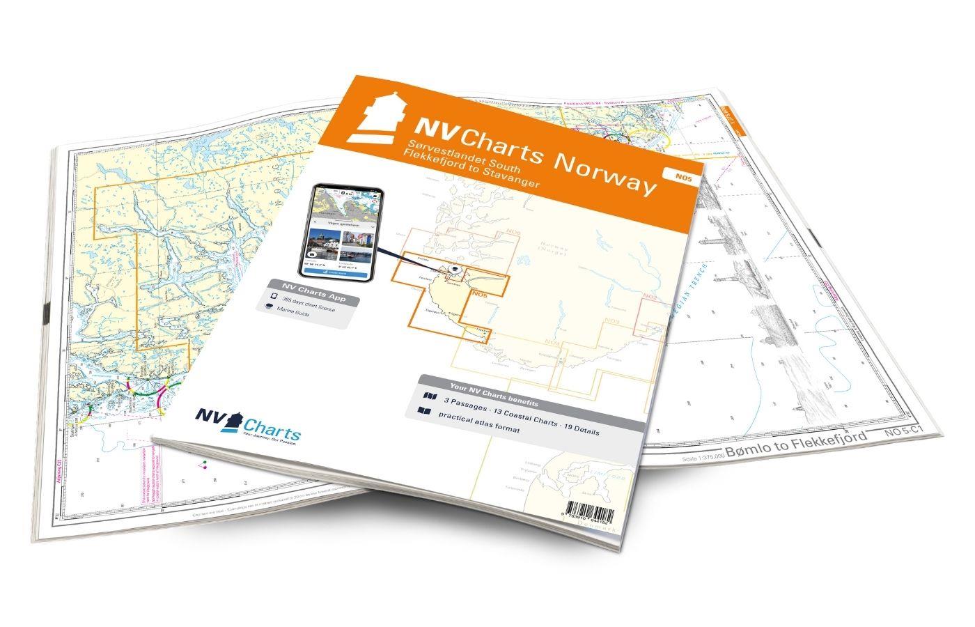
NV Charts Norway NO5 - Sørvestlandet Sør - Flekkefjord til Stavanger
€74.99*
Your companion for the southwest coast of Norway: The NV Charts Norway NO5 . NV Charts for the Norwegian coast are based on data from the Norwegian Hydrographic Office and also include the h


