N 513 POD

Chart ID: NOR 513

€27.70*


Product number: 20713

Description

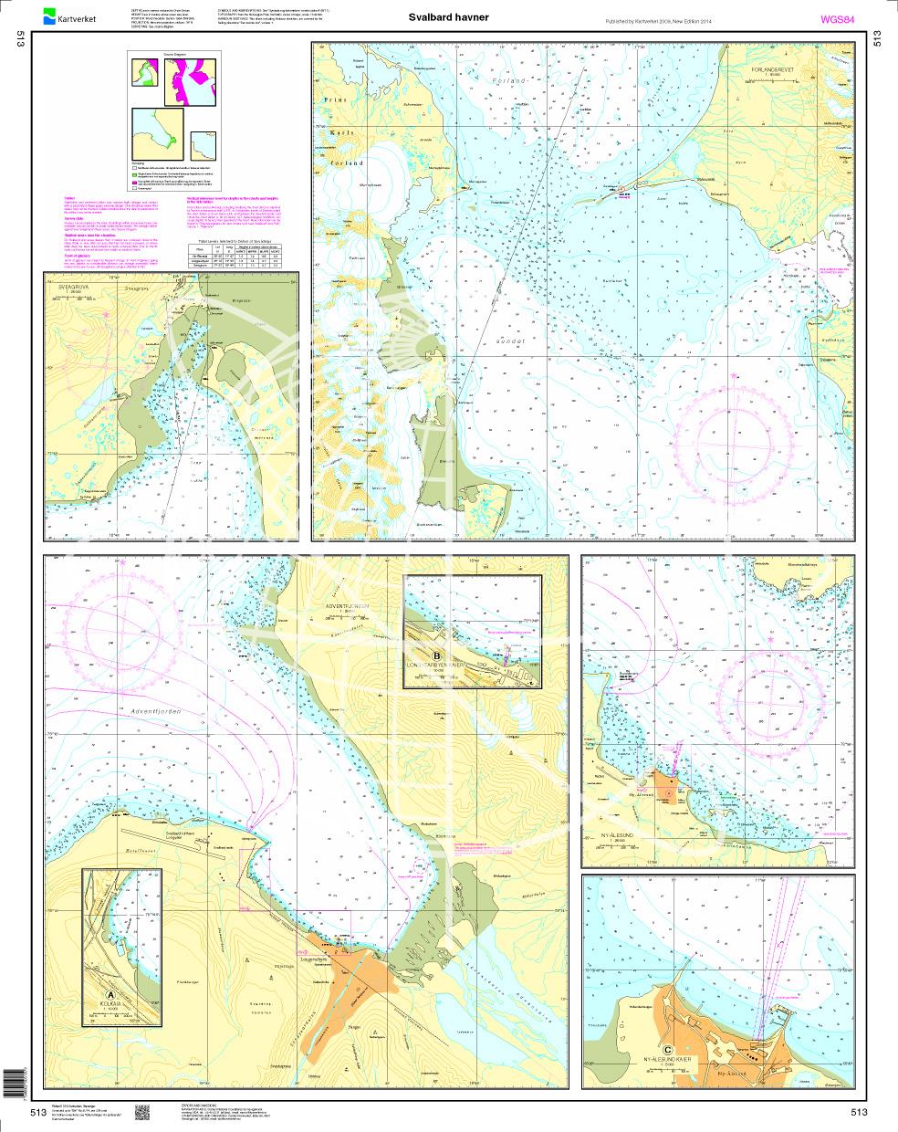
Svalbard - Havner. - POD cards are excluded from exchange.
Motiv: Seekarte
Region: Europäisches Nordmeer, Norwegen
Area preview

With the help of our area preview, you can get an impression of which geographical region the product deals with or which areas a nautical chart covers.

Related products to this item

Related products to this item

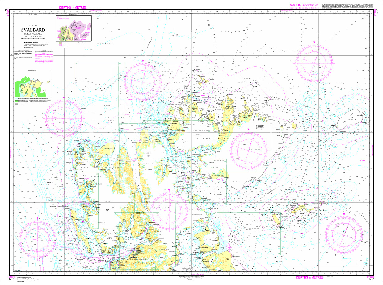
Norwegen N 507 Spitzbergen Nord (Svalbard)
Map N 507 covers the northern part of Norways northernmost archipelago Spitsbergen.The detailed scale is 1:700000.As an additional map we recommend N 505 (Svalbard Bjoernoeya - Islfjorden - Storfj

€27.70*
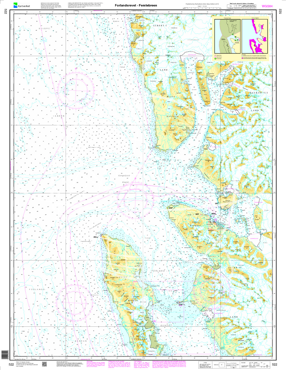
Norwegen N 522 Spitzbergen Forlandsrevet - Femtebreen
Navigation chart N 522 covers the northern waters on Spitsbergen from Forlandsrevet - Femtebreen. The detailed scale is 1:100000. We print the charts on customer request from the current data sets of

€27.70*
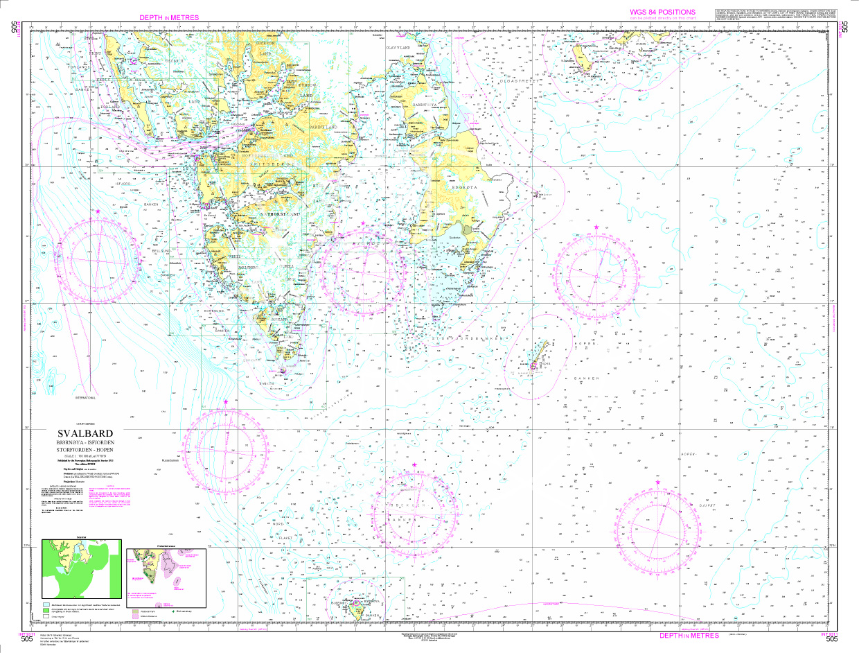
Norwegen N 505 Spitzbergen Svalbard, Bjoernoeya - Islfjorden - Storfjorden - Hopen. Svalbard
Map N 505 covers the southern part of Norways northernmost archipelago Spitsbergen with Bjoernoeya - Islfjorden - Storfjorden - Hopen.The detailed scale is 1:700000.As an additional map we recommend N

€27.70*

Reviews

0 of 0 reviews

Leave a review!

Share your experiences with other customers.