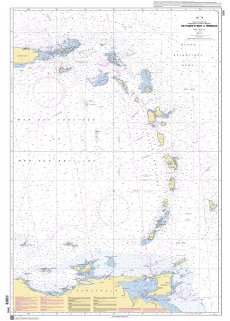
F 7475

Chart ID: F 7475
Edition: -02/2010
Edition Date: 16.07.2010
Scale: 1:1.030.000

€38.10*


Product number: 20928

Description

Puerto Rico to Trinidad. North Atlantic Ocean - Lesser Antilles and Venezuelan Coast.
Area preview

With the help of our area preview, you can get an impression of which geographical region the product deals with or which areas a nautical chart covers.

Reviews

0 of 0 reviews

Leave a review!

Share your experiences with other customers.


Gebietsvorschau für NV Charts Caribbean 12.3 - Windward Islands öffnen
NV Charts Caribbean 12.3 - Windward Islands
With the NV Charts Atlas Caribbean 12.3 you have the perfect companion for the Windward Islands from Martinique to Grenada at your side. Thanks to the clear layout, you can find approaches,

€94.99*
Gebietsvorschau für NV Charts Pilot 6 - US East Coast, Maine to Caribbean • Bermuda öffnen
NV Charts Pilot 6 - US East Coast, Maine to Caribbean • Bermuda
The Pilot 6 is a planning chart for the east coast of the USA. The Antilles, Cuba and the Caribbean Sea can also be found on this chart.This folding chart consists of two overview charts:Chart 1, scal

€24.99*
Gebietsvorschau für NV Charts Caribbean 12.2 - Leeward Islands öffnen
NV Charts Caribbean 12.2 - Leeward Islands
With the NV Charts Caribbean 12.2 Atlas  you have the perfect companion for the Leeward Islands from Anguilla to Dominica at your side. Thanks to the clear layout, you can find approaches, h

€94.99*
Gebietsvorschau für NV Charts Caribbean 12.1 - Virgin Islands öffnen
NV Charts Caribbean 12.1 - Virgin Islands
With the NV Charts Caribbean 12.1 you have the perfect companion for the Virgin Islands from St Thomas to Sombrero at your side. Thanks to the clear layout, you can find approaches, harbours and

€94.99*