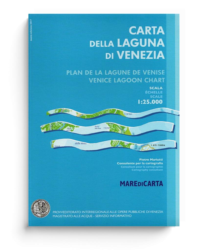
Carta Della Laguna Di Venezia

Scale: 1:25.000
 
Product number: 21095

Description

Carta Della Laguna Di Venezia by Pietro Mariutti

Very clearly laid out and informative nautical chart for the Venice Lagoon and our recommendation for your trip.

The map of the Venice Lagoon, scale 1:25,000, with very detailed bathymetry in the channels and outside the channels. In the channels the depths are indicated by numbers, outside the channels by shades of blue, the legend of which can be found at the bottom of each page. The large size of the map (about 2.00 m x 3.00 m) prompted the publisher to bind it in a volume whose closed format is handy A4. The map is divided into 8 folded tables, to which tables with all marinas, ports and moorings in the lagoon are attached, so that the volume is a combination of a map and a pilot book. The tables include speed limits in the lagoon, while the information pages include a bibliography of useful pages on regulations, laws and tides in the lagoon. The Magistrato alle Acque (Water Authority) surveys are from 2014 and report on all ongoing work, both at the inlets (Moses) and in the rest of the lagoon (salt marsh restoration, etc.). Compared to previous editions, many elements have been added, such as current velocities, tidal delays, and water change times. In addition, new symbols for salt marshes and their functions (wave protection, nutrient supply, fauna, etc.) have been added. Allowable velocities and their limits are indicated in all channels. Bathymetry and data for the new salt marshes have been updated. All practical information has also been updated: Addresses of marinas and clubs, photos of marinas and clubs, signs for inland waters, references to regulations, slips, etc. The graphics of the tables have been changed to make them easier to understand.

Contents:

  • 8 fold-out DIN A2 map panels at a scale of 1:25,000
  • Including aerial photographs of the marinas
Area preview

With the help of our area preview, you can get an impression of which geographical region the product deals with or which areas a nautical chart covers.

Reviews

0 of 0 reviews

Leave a review!

Share your experiences with other customers.


Gebietsvorschau für NV Charts Croatia HR 2 Vodice to Dubrovnik & Montenegro öffnen
NV Charts Croatia HR 2 Vodice to Dubrovnik & Montenegro
The pack of cards NV Charts HR2 is your reliable companion for Central Dalmatia to Montenegro. Thanks to the clear layout, recreational boaters can quickly find approaches, harbours and anchorages and

€64.99*
Gebietsvorschau für NV Charts Italy IT4 - Sardinia West öffnen
NV Charts Italy IT4 - Sardinia West
The NV Charts Italy IT4 accompanies you to the west coast of Sardinia . Thanks to the clear layout, recreational boaters can quickly find approaches, harbours and anchorages and are informed

€64.99*
Gebietsvorschau für NV Charts Croatia HR 1: Trieste to Vodice öffnen
NV Charts Croatia HR 1: Trieste to Vodice
Want to discover the northern Adriatic? Our chart set NV Charts HR1 guides you from Istria to North Dalmatia. With its clear structure, the recreational boater quickly finds access points, harbors, an

€64.99*
Gebietsvorschau für NV Charts Italy IT1 - Menton to Elba öffnen
NV Charts Italy IT1 - Menton to Elba
The NV Charts Italy Atlas IT1 covers the dreamlike Italian Riviera from Menton to Elba . Thanks to the clear layout, the recreational skipper can quickly find approaches, harbours and anchorages and i

€64.99*
Gebietsvorschau für NV Charts Pilot 3 Mediterranean East, Sicily to Greece Adriatic Sea öffnen
NV Charts Pilot 3 Mediterranean East, Sicily to Greece Adriatic Sea
The Pilot 3 is suitable as a planning chart for cruises in the eastern part of the Mediterranean. The coasts of Croatia and Greece are completely covered. In addition, the east coast of Italy is compl

€24.99*
Gebietsvorschau für NV Charts France FR11 - Corsica öffnen
NV Charts France FR11 - Corsica
The NV Charts Atlas FR11 covers the beautiful island of Corsica completely. Thanks to the clear layout, recreational boaters can quickly find approaches, harbours and anchorages and are informed of na

€64.99*
Gebietsvorschau für LAG 01 Golfo di Trieste öffnen
LAG 01 Golfo di Trieste
Golfo di Trieste. Maps of the lagoons between Grado and the Po Delta folded to a handy size (approx. 17x25 cm). The maps include the rivers canals ports and other information.

€9.80*
Gebietsvorschau für NV Charts Italy IT2 - Elba to Naples öffnen
NV Charts Italy IT2 - Elba to Naples
The NV Charts Italy IT2 covers the Italian Mediterranean from Elba to Naples is covered. Thanks to the clear layout, the recreational skipper can quickly find approaches, harbours and anchor

€64.99*
Gebietsvorschau für NV Charts Pilot 4 - Mediterranean West, Gibraltar to Sicily Adriatic Sea öffnen
NV Charts Pilot 4 - Mediterranean West, Gibraltar to Sicily Adriatic Sea
The Pilot 4 is ideal as a planning chart for traveling the western Mediterranean. The east coast of Spain, the south coast of France and Italy are covered in this oversailor. You can also find the Bal

€24.99*
Gebietsvorschau für Mediterranean France and Corsica Pilot öffnen
Mediterranean France and Corsica Pilot
This cruising guide is a helpful travel companion for the French Mediterranean coast and the island of Corsica. It covers the long coastline stretching from Spain and the edge of the Pyrenees to the A

€59.90*
Gebietsvorschau für NV Charts Italy IT3: Sardinia East öffnen
NV Charts Italy IT3: Sardinia East
The NV Charts Atlas IT3 accompanies you on the east coast of Sardinia . Thanks to the clear layout, recreational boaters can quickly find approaches, harbours and anchorages and are informed of import

€64.99*