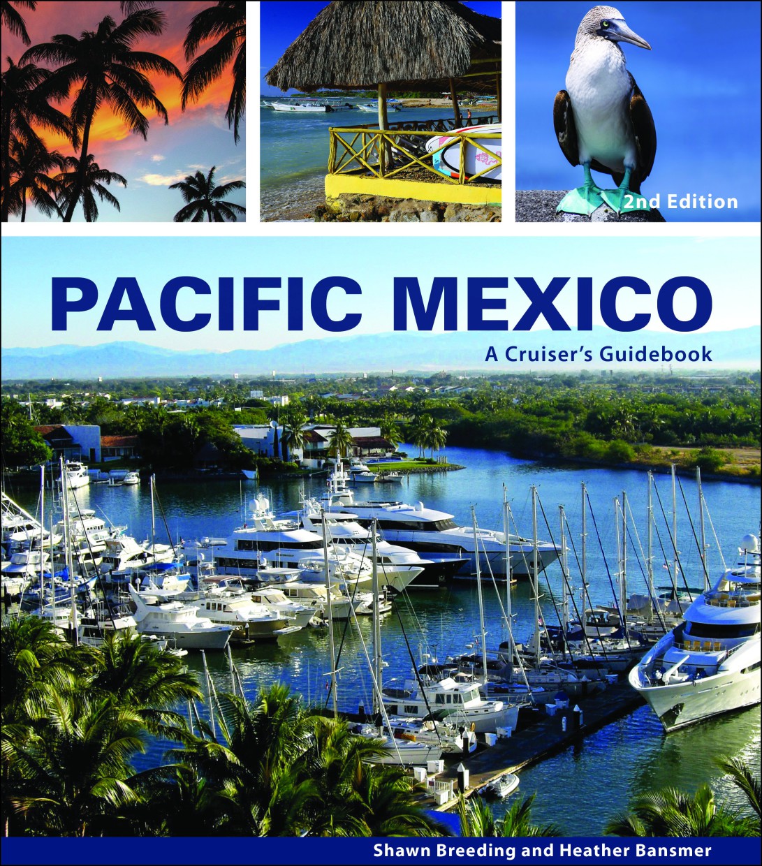
Pacific Mexico
Description
Pacific Mexico: A Cruiser's Guidebook, is the most up-to-date and comprehensive guide detailing the anchorages and harbours on the Pacific mainland coast.
The guide includes a detailed description of the harbours and anchorages used by cruise ships sailing along the Mexican mainland coast from Mazatlán to Zihuatanejo.
For boats travelling further south towards Central America, harbour charts are included for this more remote stretch of coast.
In an area where official government charts can vary by up to two miles, boaters can be assured that the locations described in this guide are illustrated with 72 original, GPS-accurate map sheets that include details not available elsewhere.
The maps are derived from current surveys, satellite imagery, US and Mexican topographic and bathymetric data, and the author's own explorations. GPS waypoints, including prime anchorages, approaches and navigational hazards, accompany each chart sheet.
Detailed nautical charts are not enough to tell the whole story. That's why the authors have also included stunning colour photographs, high-resolution aerial shots and annotated approach photos. And because the yachting life doesn't stop once the anchor is dropped or the lines are tied up, detailed town maps, marina guides, fuel stations, stops, provisioning areas, surf spots, hiking trails, diving and snorkelling spots and much more are included for each location to help travellers make the most of their time on this beautiful and friendly coast.
Important information such as the weather, amateur radio and SSB radio networks, customs and immigration information, marina locations and plans, fuel availability, boat mooring facilities and marine equipment shops are just some of the many detailed information included.
Sample itineraries are also included to suit different boaters' schedules, so readers won't miss a thing when exploring the Pacific mainland coast.
Product info:
Author: Shawn Breeding and Heather Bansmer
Publisher: Blue Latitude Press
Details: 250 x 2150 mm. Softcover with spiral binding. Full colour.
Edition: 2nd edition/2017
ISBN: 9780980090154
Product no.: RB0512-1
With the help of our area preview, you can get an impression of which geographical region the product deals with or which areas a nautical chart covers.
Reviews
Login


