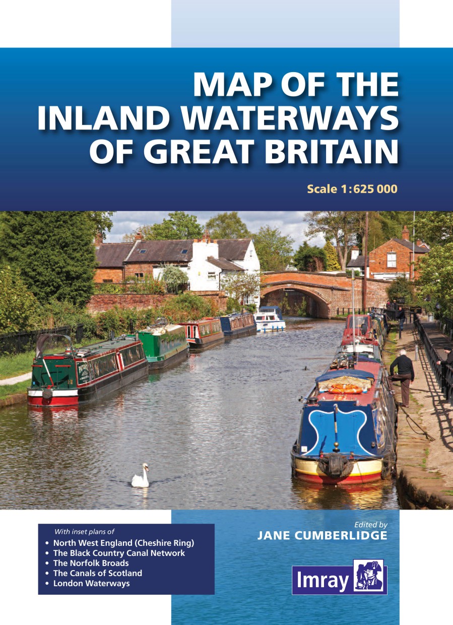
Map of the Inland Waterways of Great Britain
Chart ID:
IM0008-1
Description
Coloured map with the technical data of the rivers and canals. 1:625000 and plans: North West England (Cheshire Ring) The Black Country Canal Networks The Norfolk Broads The Canals of Scotland London Waterways. In English 2016.
Area preview
With the help of our area preview, you can get an impression of which geographical region the product deals with or which areas a nautical chart covers.
Reviews
Login


