

C-MAP 4D MAX+ Wide RS-D235 Volgo - Don and Azov Sea
Description
Electronic nautical chart for the Sea of Azov for modern chartplotters and multifunction displays.
Coverage
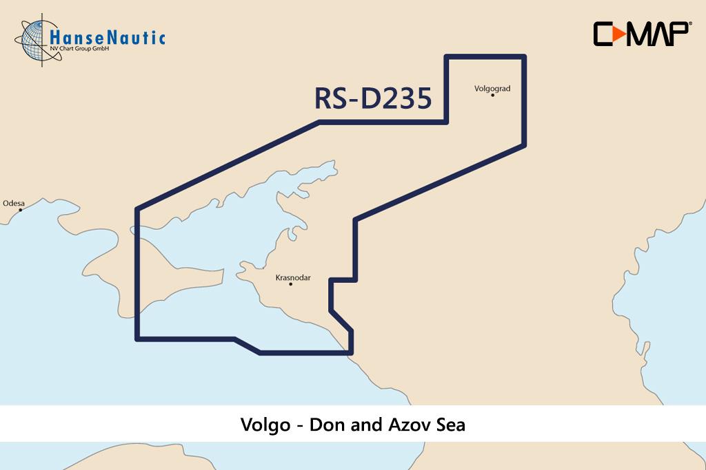
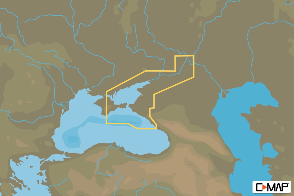
The C-MAP Chart Wide RS-D235 Volgo covers the Sea of Azov a tributary sea of the Black Sea and connected to it by the Kerch Strait.
Data carrier
This electronic nautical chart is supplied on an mSD data carrier which is included in an SD card adapter. But without the satellite imagery oblique aerial imagery and raster charts usually found in the ""+"" format. These 4D maps have only the proven vector maps stored.
Compatibility
Suitable e.g. for many Furuno plotters all current Raymarine MFD models Axiom Axiom Pro as well as a-series e-series c-series eS-series gS-series.
Please refer to the Compatibility list - we will be happy to help.
Tip: When ordering your nautical chart always state the make and model of your plotter to avoid incorrect deliveries.
Revocation excluded
These nautical charts are produced by us for you on customer request in order to always provide you with the most up-to-date data. For this reason, the charts are excluded from exchange and revocation.
| Format: | mSD-Karte |
|---|---|
| Size: | Wide |
With the help of our area preview, you can get an impression of which geographical region the product deals with or which areas a nautical chart covers.
Products near this article
Products near this article

Reviews
Login