

BlueChart g3 Chip Regular HXEU004R-Irish Sea
Description
Electronic nautical chart for Garmins modern chartplotters.
The cartography includes integrated chart areas for a transition-free display information on tides and currents. Highly detailed the chart image is very pleasing to the eye and complete.
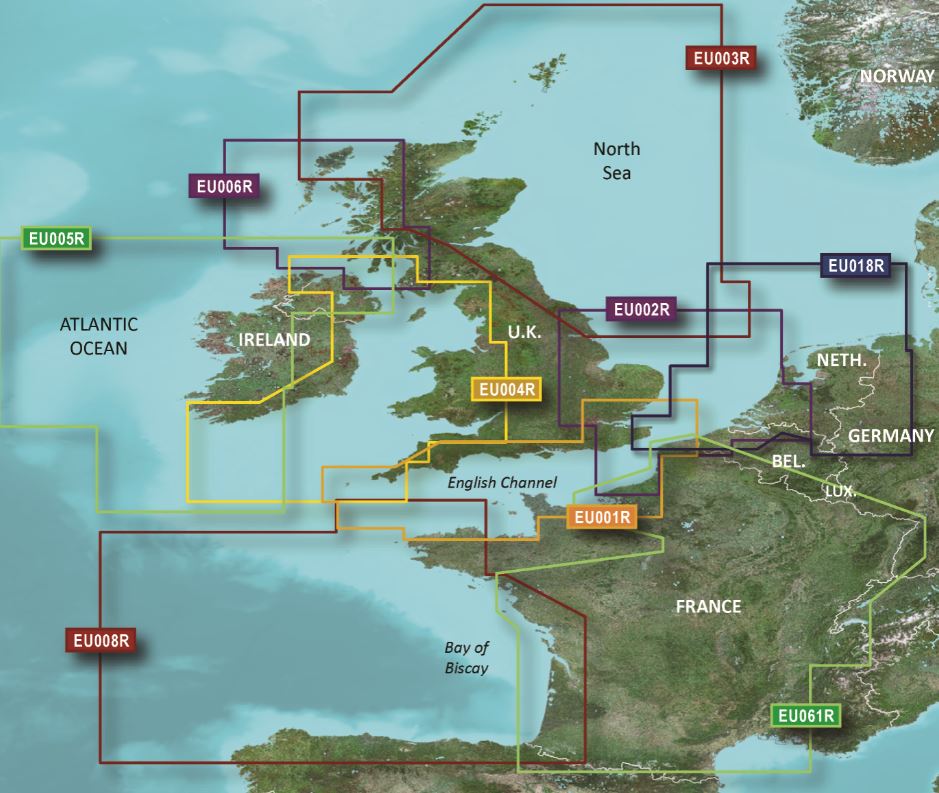
British coast: covers from Port Ellen on the Isle of Islay to Falmouth including the Isle of Man and the Isles of Scillyb.
Irish coast: covers from Sheep Haven to Caherciveen Republic of Ireland including Londonderry The Storks Belfast and Dublin.
Please specify your device type when ordering.
Media:
Garmin maps are only available on mSD cards. The previously used Garmin modules are no longer available.
As a premium marine chart product g3 charts are available for demanding water sports enthusiasts.
Features:
-Detailed depth contours
-Suggested routes
-Depth range shading
-Shallow water shading
Compatibility:
Only Garmin charts can be used with Garmin plotters. Other chart manufacturers do not supply suitable charts.
nvtext_bluechart
| Format: | mSD-Karte |
|---|---|
| Size: | Regular |
Reviews
Login