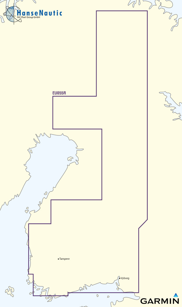
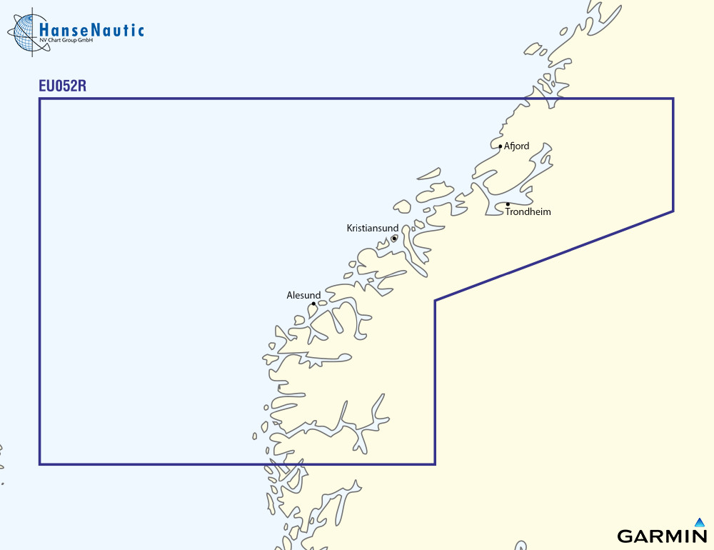
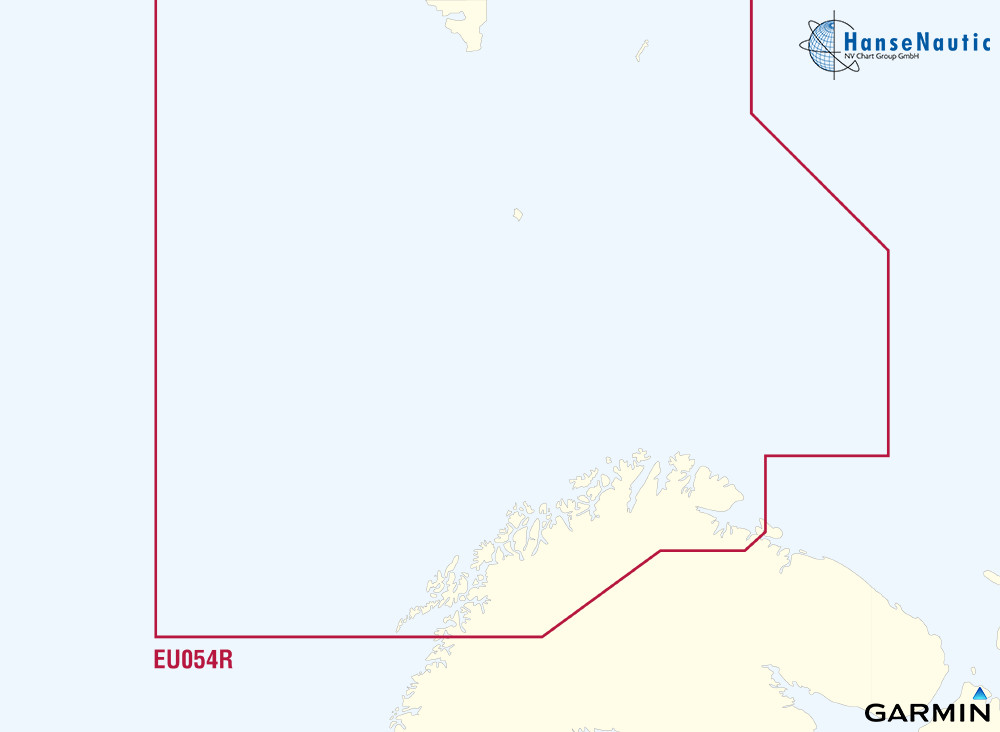
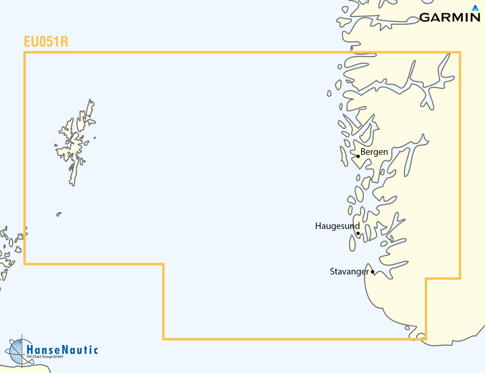
BlueChart g3 Chip Regular HXEU055R-Finnish Lakes
Description
Electronic nautical chart for Garmins modern chartplotters.
The cartography includes integrated chart areas for a transition-free display information on tides and currents. The highly detailed presentation makes the map image very pleasant and complete.
Coverage:
Detailed coverage of the Finnish inland lakes including Inarijarvi Miekojarvi Simojarvi and Kiantajarvi. Also includes detailed coverage of Oulujarvi Pielinen Saimaa Paijanne Nasijarvi Lohjanjärvi and others.
Please specify your device type when ordering (please enter in the info field during the ordering process).
Data media:
Garmin maps are only available on mSD cards. The previously used Garmin modules are no longer available.
As a premium marine chart product g3 charts are available for demanding water sports enthusiasts.
Features:
-Detailed depth contours
-Suggested route
-Depth range shading
-Shallow water shading
Compatibility:
Only Garmin charts can be used with Garmin plotters. Other chart manufacturers do not supply suitable charts.
nvtext_bluechart
| Format: | mSD-Karte |
|---|---|
| Size: | Regular |
Recommended by NV Charts
Reviews
Login

