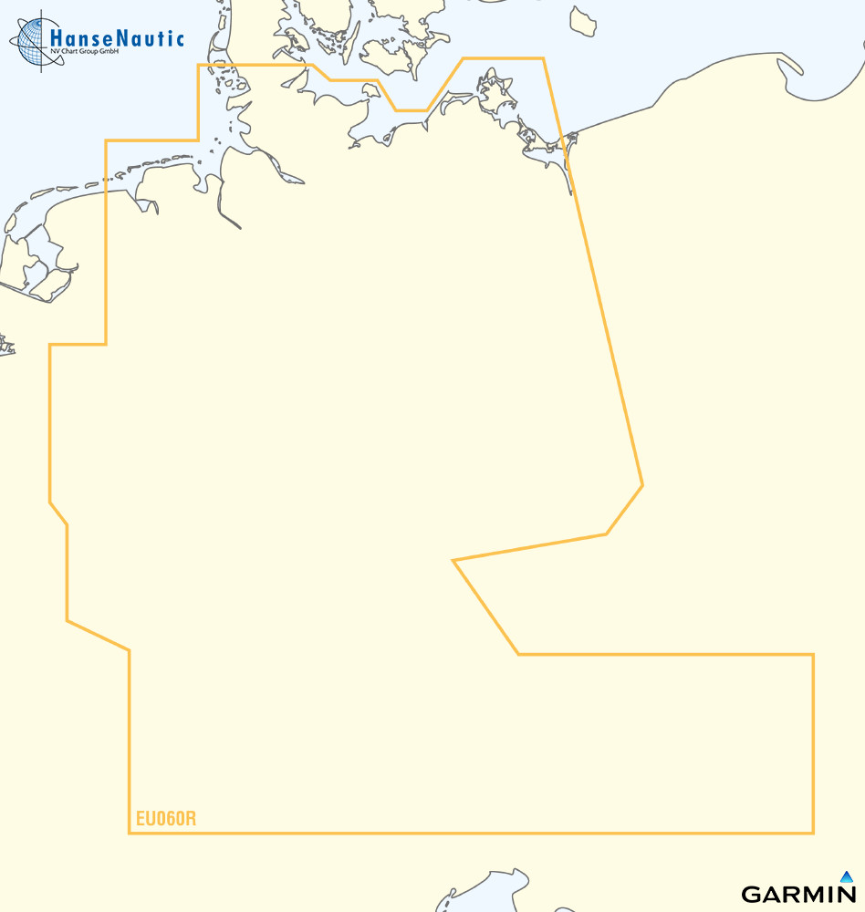
BlueChart g3 Vision Chip Regular VEU060R-Germany Inland Waters
Description
VEU060R-Germany Inland Waterways
Detailed coverage of the German North Sea and Baltic Sea coasts and the German inland waterway system including the entire Rhine the Main to Bamberg the Danube from Kelheim to Passau in Germany the Saar the Moselle to Metz FR the Ems to Papenburg the Weser to Minden the Elbe to Dresden the Havel to Oranienburg the entire Rhine-Main-Danube Canal the Oder-Havel Canal the Elbe-Havel Canal the Elbe-Seiten Canal the Kiel Canal the Mittelland Canal Lake Constance Lake Zurich in Switzerland Lake Balaton in Hungary and Lake Neusiedl in Austria.
Coverage:
- North and Baltic Sea coast
- Germany inland
Features:
- Auto Guidance
- Depth Range Shading
- Detailed Contours
- Flat Water Shading
- Detailed. Depth Lines
- Satellite Imagery
- Fisheye View
- Mariners Eye View
- Aerial Imagery
Please refer to the compatibility liste and specify the plotter used when ordering.
| Format: | mSD-Karte |
|---|---|
| Size: | Regular |
Reviews
Login


