Skip to main content Skip to search Skip to main navigation

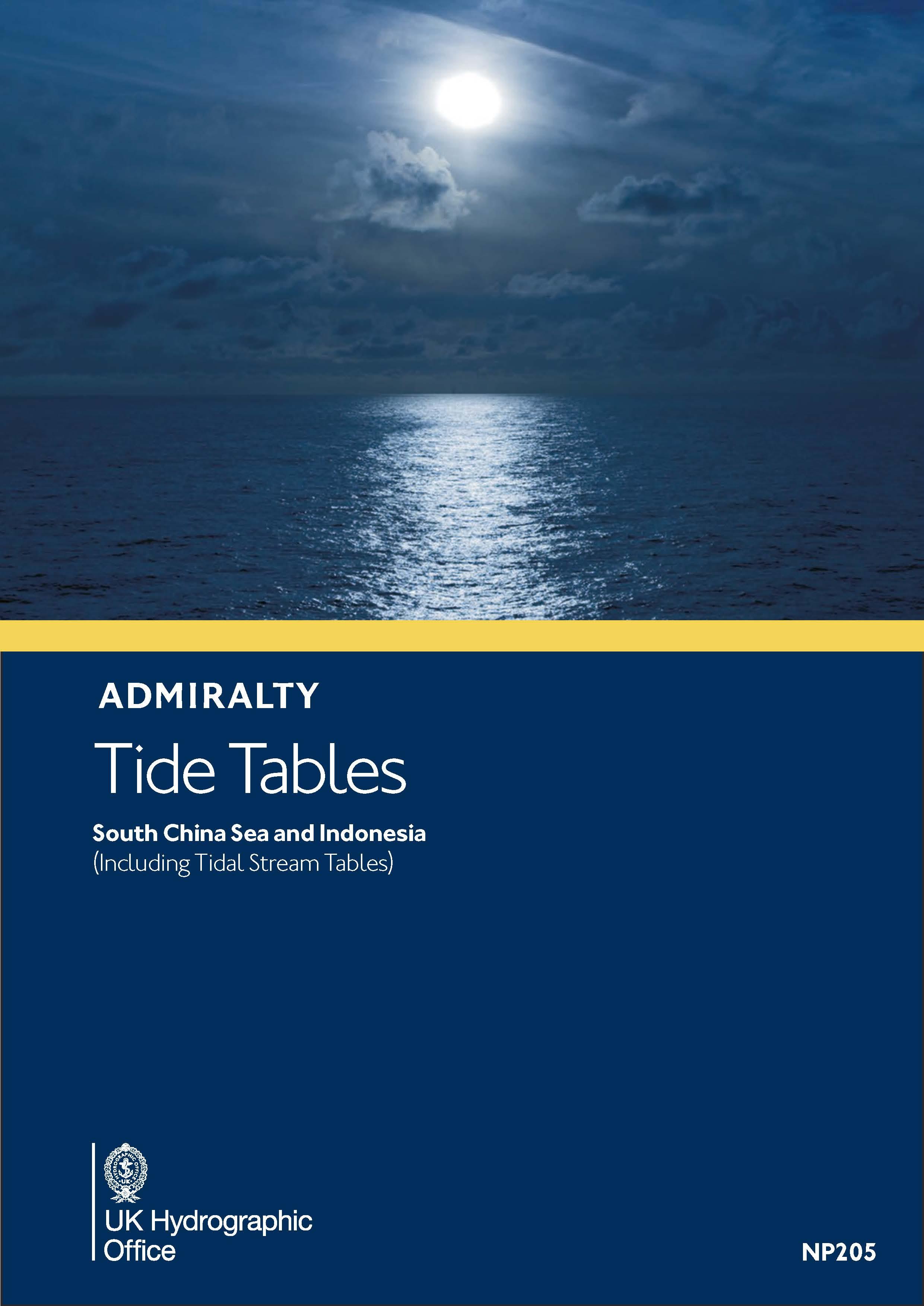
The official Tide Tables of the United Kingdom Hydrogpahic Office are published as ADMIRALTY Tide Tables. The book NP205 covers the South China Sea the Philippines Indonesia and the approaches to the Indian Ocean.

NP205 includes tide tables.

The publication NP205 is reissued annually - HanseNautic always supplies the latest version.

ADMIRALTY Tide Tables are mandatory bridge equipment on board cargo ships and large yachts when travelling along the coasts of the above mentioned sea areas. The tide tables are mandatory equipment on board cargo ships and large yachts when travelling along the coasts of the above mentioned sea areas if the SOLAS regulations or the corresponding regulations of the flag state are to be complied with.

Properties "Gezeitentafeln NP205 South China Sea and Indonesia (including Tidal Stream Tables)"
Format: Softcover / Taschenbuch
Language: Englisch
Properties "Gezeitentafeln NP205 South China Sea and Indonesia (including Tidal Stream Tables)"
Format: Softcover / Taschenbuch
Language: Englisch

0 of 0 reviews

Average rating of 0 out of 5 stars

Leave a review!

Share your experiences with other customers.


Similar products

Gebietsvorschau für Gezeitenstromatlas NP252 North Sea, North Western Part öffnen
Gezeitenstromatlas NP252 North Sea, North Western Part
Tidal Stream Atlas 252 covers the North Sea north-western part.Tidal stream atlases show in diagrammatic form the major tidal streams for selected waters of NW Europe. They show at a glance both direc

€33.90*
Gezeitentafeln 2025: Europäische Gewässer
Nautical publication with all tidal information and its forecasts as well as instructions for use for the tidal ranges in Europe. The "Gezeitentafeln 2025: Europäische Gewässer" (Tide Tables for

€28.00*
Gebietsvorschau für Gezeitenstromatlas NP265 France, West Coast öffnen
Gezeitenstromatlas NP265 France, West Coast
Admiralty Tidal Stream Atlas - France West Coast Edition 2005.item is not in stock. Delivery time 7 days

€33.90*
Gebietsvorschau für Gezeitenstromatlas NP250 The English Channel öffnen
Gezeitenstromatlas NP250 The English Channel
BA NP250 Tidal Stream Atlas: The English ChannelTidal streams diagrams include detailed tidal stream direction and strength information. They show at a glance the direction and rate of tidal streams d

€33.90*
Gebietsvorschau für Gezeitenstromatlas NP218 North Coast of Ireland and West Coast of Scotland öffnen
Gezeitenstromatlas NP218 North Coast of Ireland and West Coast of Scotland
This Tidal Current Atlas for the west coast of Scotland including the Outer and Inner Hebrides and the north coast of Ireland with the transition into the Irish Sea (ADMIRALTY NP218) explains the dire

€33.90*
Gebietsvorschau für Gezeitenstromatlas NP253 North Sea, Eastern Part öffnen
Gezeitenstromatlas NP253 North Sea, Eastern Part
Admiralty Tidal Stream Atlas - North Sea Eastern

€33.90*
Gebietsvorschau für Gezeitenstromatlas NP209 Orkney and Shetland Islands öffnen
Gezeitenstromatlas NP209 Orkney and Shetland Islands
This Tidal Current Atlas for the Orkney and Shetland archipelagos (ADMIRALTY NP209) explains the directions and strengths of the tidal currents in the hourly rhythm of ebb and flow related to high tid

€33.90*