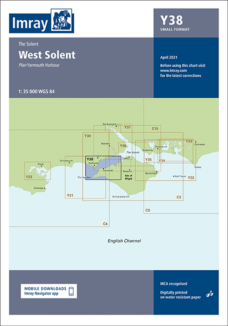
IMRAY CHART Y38 West Solent

Chart ID: ICY38-3SF
Edition: 2022
Scale: 1:21.500

€31.90*


Product number: 28714

Description

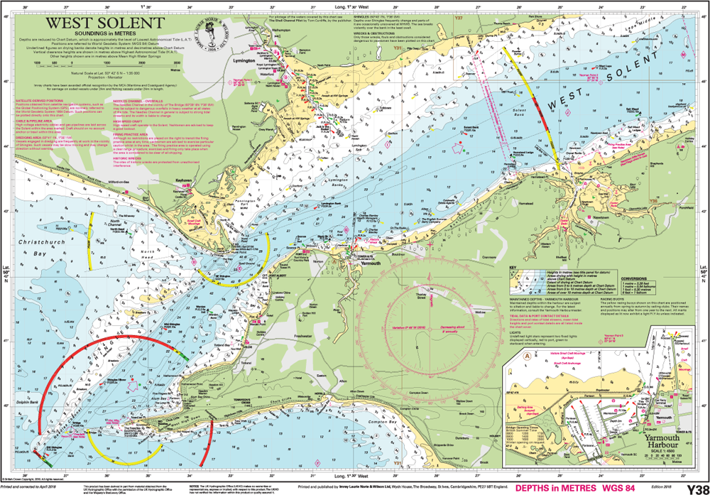
Sheet size A2. 590 x 420mm. Folded in plastic wallet or flat.Y38 West Solent (Small Format)Scale: 1:35 000 WGS 84Plans included: Yarmouth Harbour (1:4500) For this edition the latest depth surveys have been applied.
Area preview

With the help of our area preview, you can get an impression of which geographical region the product deals with or which areas a nautical chart covers.

Reviews

0 of 0 reviews

Leave a review!

Share your experiences with other customers.


Gebietsvorschau für NV Charts England UK5 - Thames Estuary to Great Yarmouth öffnen
NV Charts England UK5 - Thames Estuary to Great Yarmouth
The NV Charts England UK5 covers the southeast coast of Great Britain from the Thames estuary to Great Yarmouth. Our charts are based on official data from the United Kingdom Hydrographic Office (UKHO

€64.99*
Gebietsvorschau für NV Charts England UK2 - Start Point to the Needles öffnen
NV Charts England UK2 - Start Point to the Needles
Anyone longing for a natural, relaxing vacation will be delighted with the NV Charts England UK2 is the best advice. Our charts are based on official data from the United Kingdom Hydrographi

€64.99*
Gebietsvorschau für NV Charts Engeland UK1 - Scilly Isles to Start Point öffnen
NV Charts Engeland UK1 - Scilly Isles to Start Point
The NV Charts England UK1 will guide you along the fascinating southwest coast of Great Britain . Our charts are based on official data from the United Kingdom Hydrographic Office (UKHO) and include a

€64.99*
Gebietsvorschau für NV Charts England UK3 - The Solent öffnen
NV Charts England UK3 - The Solent
The NV Charts England UK3 Atlas takes you to the strait between Southampton and the Isle of Wight. Our charts are based on official data from the United Kingdom Hydrographic Office (UKHO) and inc

€64.99*
Gebietsvorschau für NV Charts England UK4 - Selsey Bill to London öffnen
NV Charts England UK4 - Selsey Bill to London
The NV Charts England UK4 takes you past the historic North Foreland into the centre of London - or further west along the coast and towns such as Eastbourne and Brighton. Our charts are bas

€64.99*
IMRAY CHART C80
British IslesThis map is a new addition to Imrays C series provides an overview of Great Britain Ireland and neighbouring islands including Orkney Faroe Islands and Shetland.

€34.90*