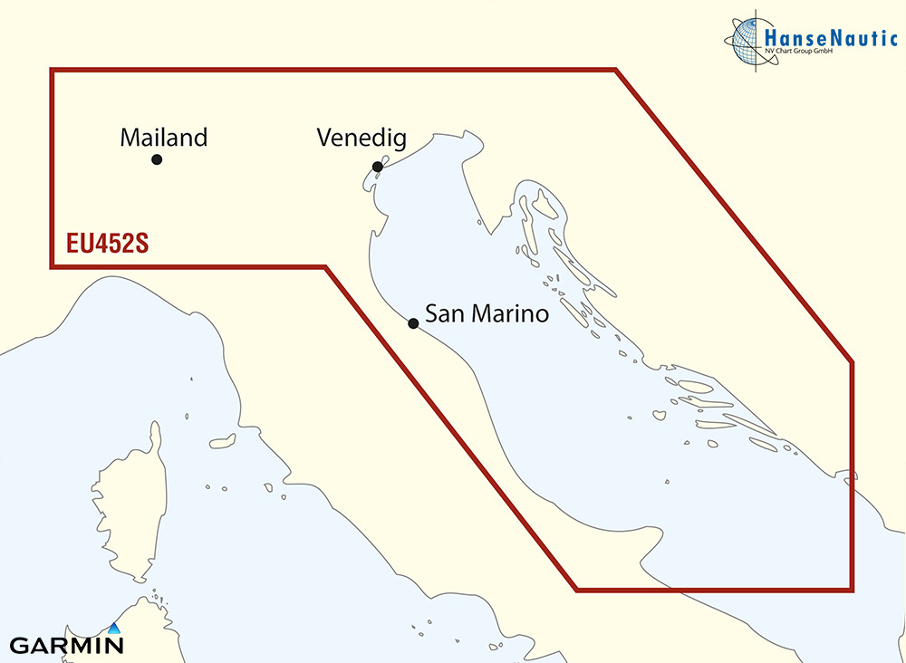
BlueChart g3 Vision Chip Small VEU452S-Adriatic Sea, North Coast
Description
Electronic nautical chart for Garmin plotters with coverage of the Adriatic Sea from Croatia through Slovenia to Northern Italy.
Coverage
The Garmin Sea Chart VEU452S covers the Adriatic Sea from Dubrovnik along the Croatian and Italian coasts to Venice. Slovenia and Northern Italy are also included. This makes the BlueChart g3Vision Adriatic Sea North Coast a comprehensive kit for electronic navigation on yachts with Garmin chartplotters whatever the course of the voyage through the Adriatic Sea and adjacent areas.
Data carrier
This electronic nautical chart is supplied on an mSD data carrier which is included in an SD card adapter.
Compatibility
The Garmin BlueChart g3Vision are electronic vector charts that are compatible with all current Garmin chartplotters and chart-capable echo sounders. Many older devices can also use the Garmin g3 Vision.
Feel free to check with the Garmin Compatibility List to see if your chartplotter is compatible and if all features of the Vision series can be used.
nvtext_bluechart
| Format: | mSD-Karte |
|---|---|
| Size: | Small |
Reviews
Login


