Skip to main content Skip to search Skip to main navigation
"New huge Continental coverage with all nautical chart information and tide details in MAX-N+"" format for Southern Europe. (However without the satellite imagery oblique aerial imagery and raster charts usually found in the ""+"" format). Suitable many devices of the NA"

0 of 0 reviews

Average rating of 0 out of 5 stars

Leave a review!

Share your experiences with other customers.


Area preview

With the help of our area preview, you can get an impression of which geographical region the product deals with or which areas a nautical chart covers.

Other customers bought also

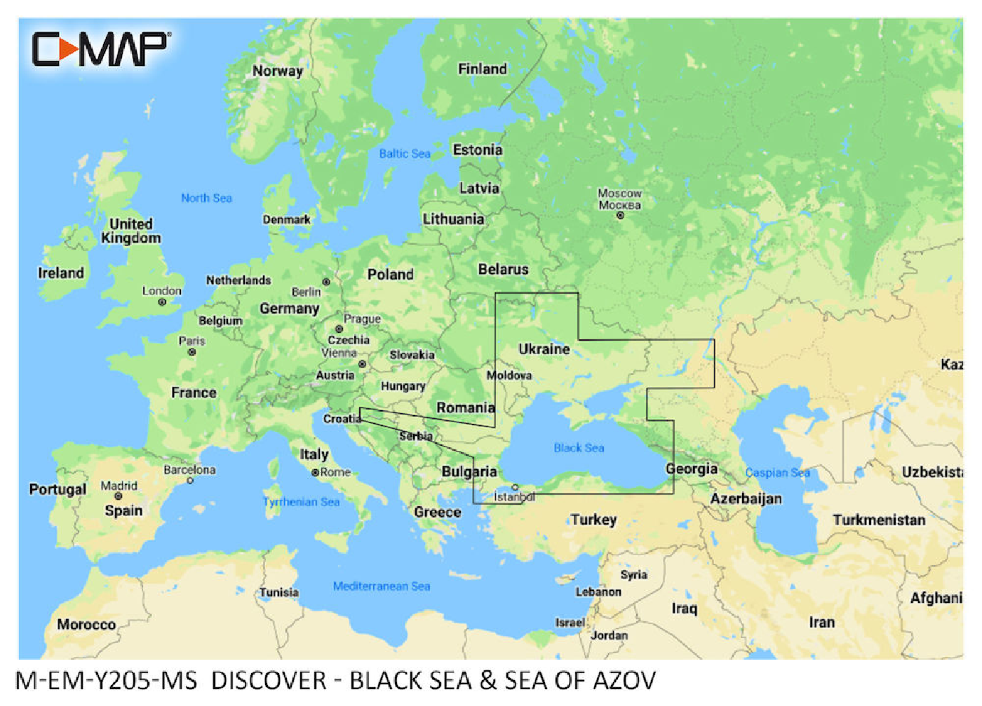
Gebietsvorschau für C-MAP Discover Black Sea and Sea of Azov M-EM-Y205 öffnen
-10 %
C-MAP Discover Black Sea and Sea of Azov M-EM-Y205
"New huge Continental coverage with all nautical chart information and tide details in MAX-N+"" format for (However without the satellite imagery oblique aerial imagery and raster charts usually found

€138.00* €154.00* (10.39% saved)
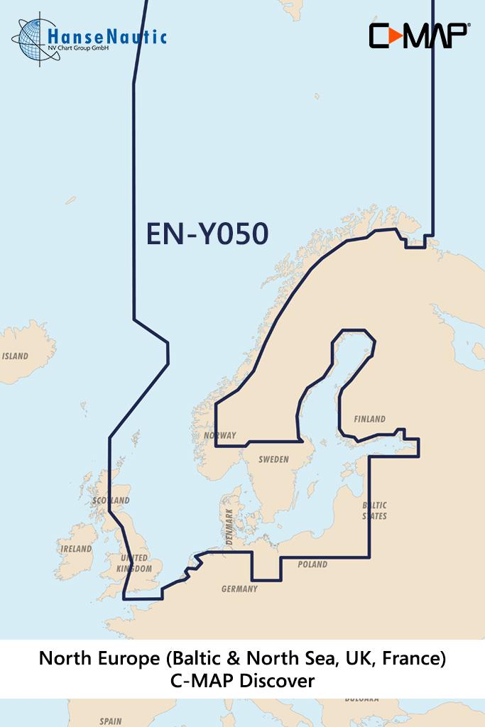
Gebietsvorschau für C-MAP Discover Nordeuropa & Ostsee (Northern & Central Europe) EN-Y050 öffnen
-20 %
C-MAP Discover Nordeuropa & Ostsee (Northern & Central Europe) EN-Y050
Electronic nautical chart of the sea areas of the Baltic Sea and North Sea as well as Scandinavia for modern chartplotters from Lowrance Simrad or B&GFurther development of C-MAP a modern vector c

€176.00* €220.00* (20% saved)