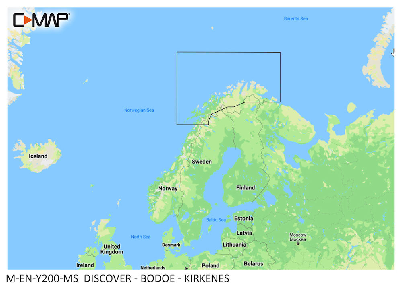
C-MAP Discover Bodoe - Kirkenes M-EN-Y200

€139.00*

% €153.51* (9.45% saved)
 
Information about your plotter
Please let us know which plotter you would like to use this product for.
Bitte tragen Sie die Marke und die Modellbezeichnung Ihres Plotters in das Textfeld ein. Wir werden intern prüfen, ob dieses Produkt mit Ihrem Plotter kompatibel ist. Mit dieser Information können wir Fehlbestellungen verringern und Ihnen mitteilen, wenn Sie eventuell ein anderes Produkt für Ihren Plotter benötigen.
Bitte geben Sie eine Telefonnummer an, unter der wir Sie erreichen können, falls Ihre Angaben zum Plotter nicht ausreichen oder Ihr Modell nicht zur gewünschten Karte passt.
Information about your plotter
Share your configuration
 
Product number: 31835

Description

"New huge Continental coverage with all nautical chart information and tide details in MAX-N+"" format for (However without the satellite imagery oblique aerial imagery and raster charts usually found in the ""+"" format). Suitable many devices of the N"
Area preview

With the help of our area preview, you can get an impression of which geographical region the product deals with or which areas a nautical chart covers.

Products near this article

Products near this article

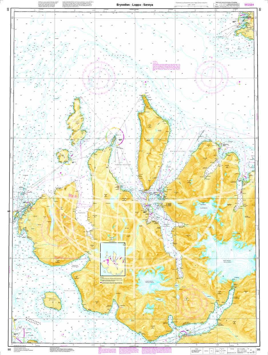
Norwegische Seekarte N 95 Brynnilen - Loppa - Sørøya
The Map N 95 covers the waters south of Lopphavet in Troms and Finnmark in the area of Brynnilen - Loppa - Sørøya. We print the charts on customer request from the current data sets of the Norwegi

€27.70*
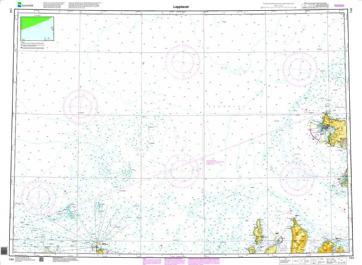
N 144 POD
Lopphavet. - POD cards are excluded from exchange.

€27.70*
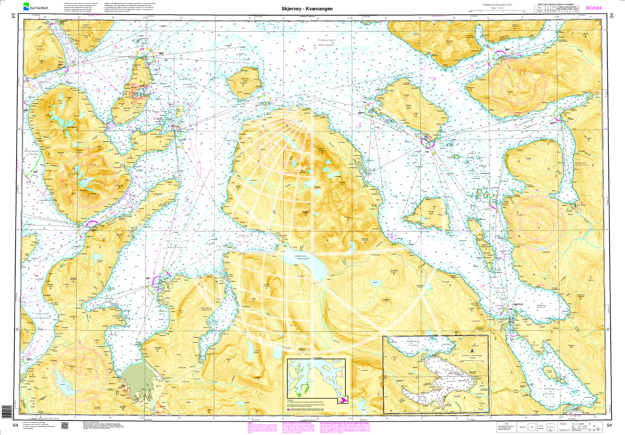
Norwegen N 94 Troms und Finmark Skjervoey - Kvaenangen
Map N 94 covers the archipelago in the Troms and Finmark Skjervøy - Kvaenangen  region. The detailed scale is 1:50000.As an additional map we recommend N 95 (Brynnilen - Loppa - Sørøya). We print

€27.70*
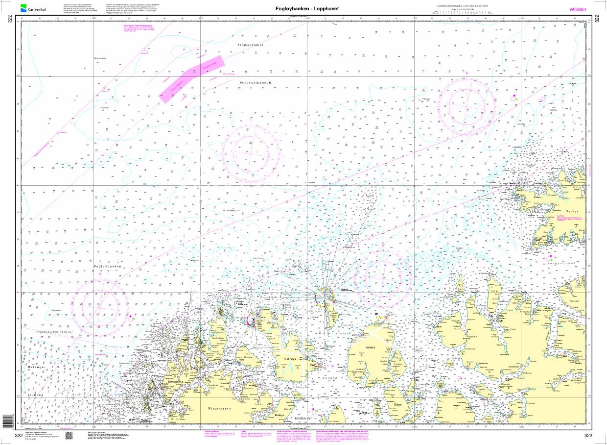
N 322 POD
Fugløybanken - Lopphavet. - POD cards are excluded from exchange.

€27.70*
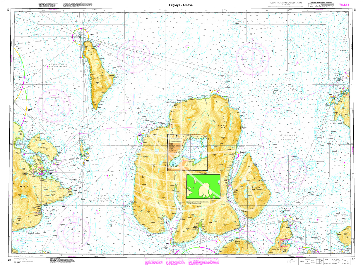
Norwegische Seekarte N 93 Atlantik Fugløya - Arnøya
Map N 93 covers the waters south of Lopphavet in Troms and Finnmark in the Fugløya - Arnøya area. Additional harbour map for Skjervøy havn at a scale of 1:10000. We print the charts on customer reques

€27.70*
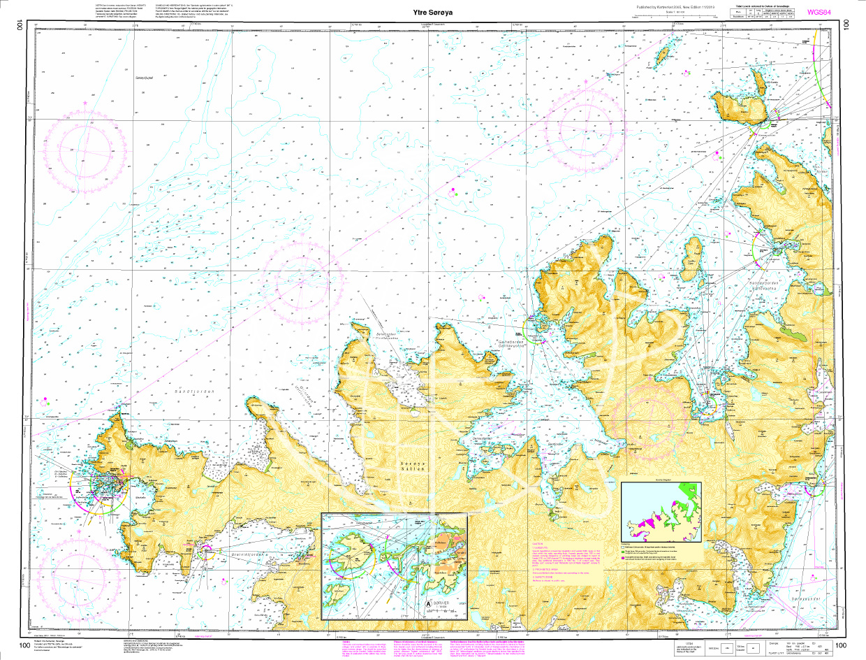
Norwegen N 100 Troms und Finmark mit Ytre Sørøya
Map N 100 covers the waterways around Ytre Sørøya in the Troms and Finmark region. The detailed scale is 1:50000.As an additional map we recommend N 101 (Hammerfest - Fruholmen). We print the charts o

€27.70*
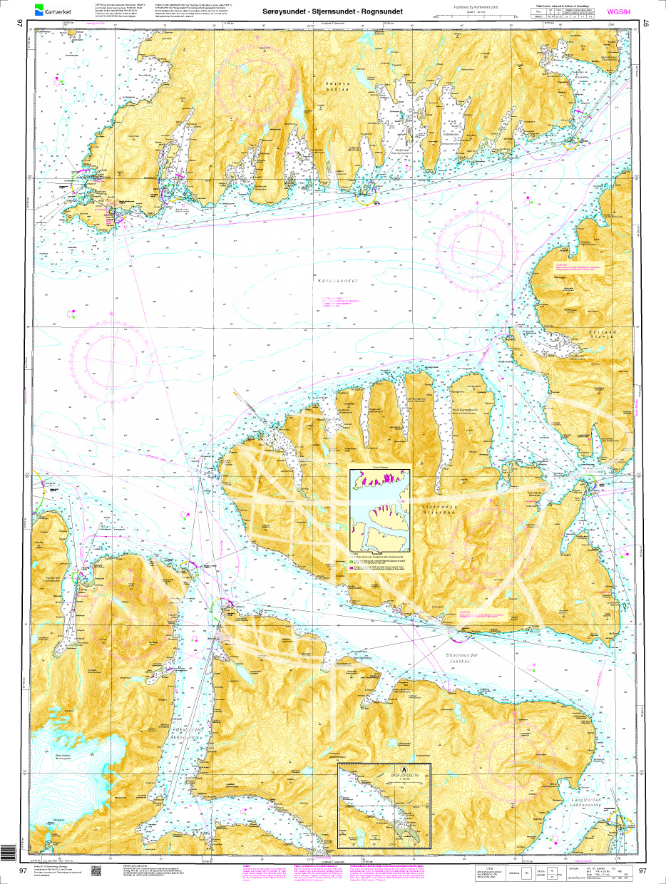
Norwegen N 97 Troms und Finmark mit Sørøysund, Stjernsund - Rognsundet
Map N 97 covers the waterways with Sørøysundet Stjernsundet - Rognsundet in the Troms and Finmark region. The detailed scale is 1:50000.As an additional map we recommend N 98 (Sørøysundet - Vargsund -

€27.70*
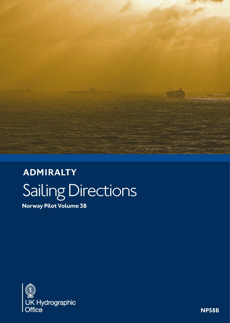
ADMIRALTY NP58B Norway Pilot Vol 3B
Admiralty Sailing Directions. Norway Pilot Vol. 3BOffshore and coastal waters of Norway from Andfjorden to Varangerfjorden.

€109.90*
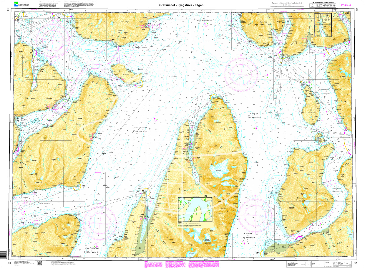
Norwegen N 91 Atlantik Grøtsundet - Lyngstuva - Kågen
Map N 91 shows the waterways around Grøtsundet - Lyngstuva - Kågen northeast of Tromsø.The detailed scale is 1:50000. As an additional map we recommend N 94 (Skjervoey - Kvaenangen). We print the maps

€27.70*
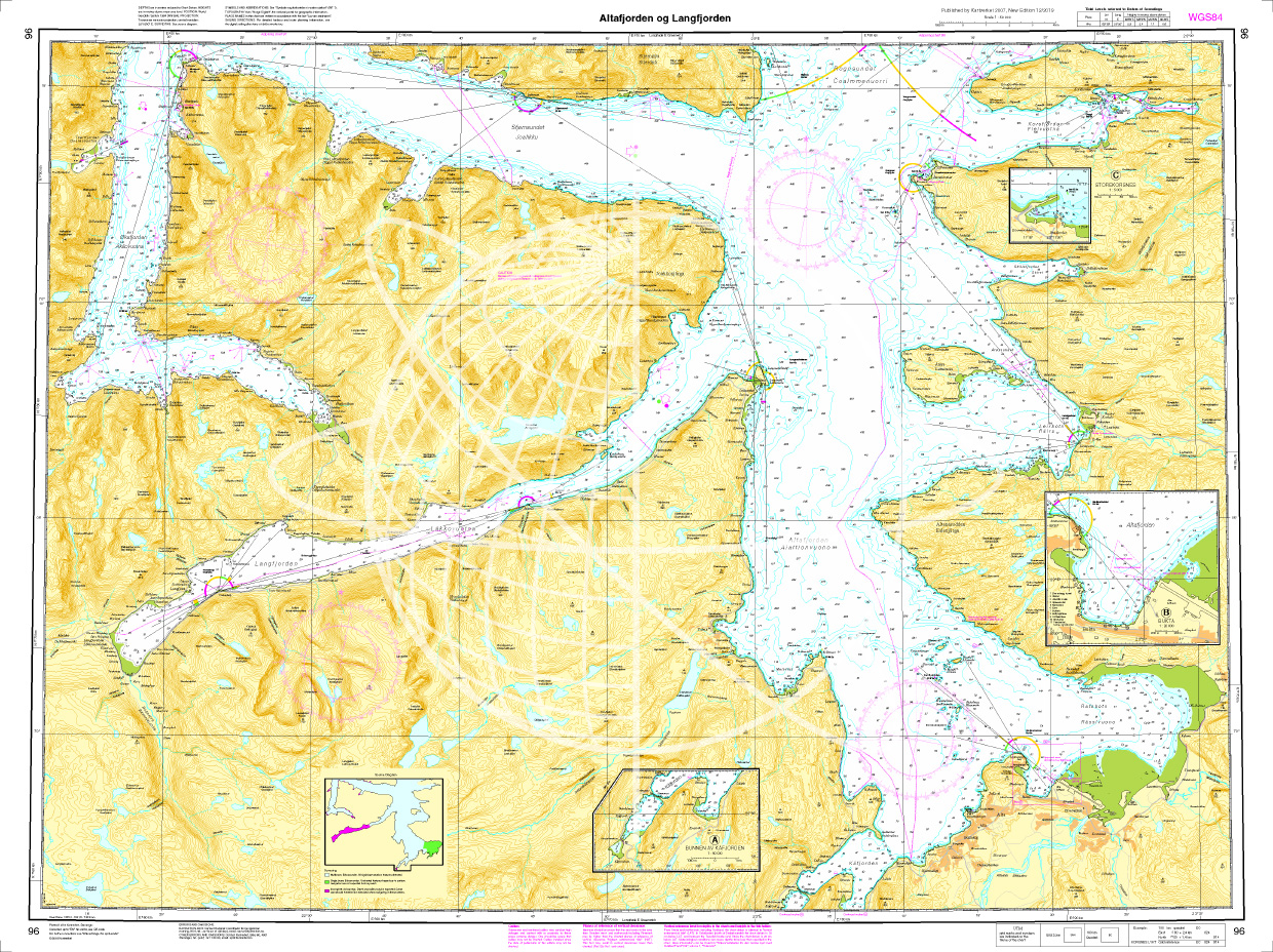
Norwegen N 96 Atlantik Altafjorden und Langfjorden
Map N 96 covers the waterways around the Altafjord and Langfjord in the Troms and Finmark region. The detailed scale is 1:50000.As an additional map we recommend N 97 (Sørøysund Stjernsund - Rognsunde

€27.70*
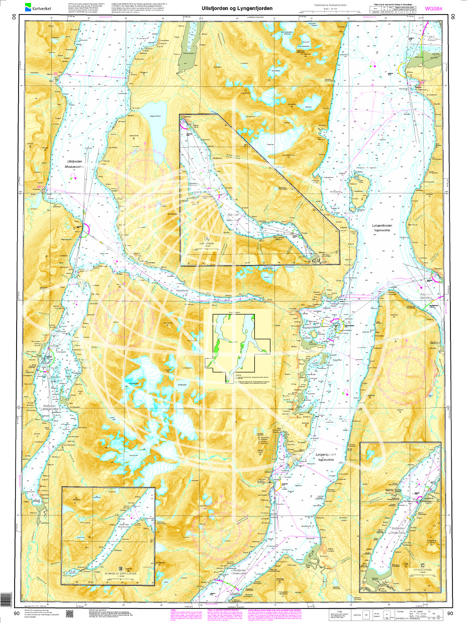
Norwegen N 90 Atlantik Ullsfjorden - Lyngenfjorden
Map N 90 shows the two fjords Ullsfjorden - Lyngenfjorden  east of Tromsø.The detailed scale is 1:50000. As an additional map we recommend N 91 (Grøtsundet - Lyngstuva - Kågen). We print the maps

€27.70*

Reviews

0 of 0 reviews

Leave a review!

Share your experiences with other customers.