C-MAP Discover Frankreich Binnengewässer, französische Kanäle u. Flüsse EW-Y206

Chart ID: EW-Y206

€139.00*

% €153.51* (9.45% saved)
 
Product number: 31853
Manufacturer product number: M-EW-Y206

Description

Electronic nautical chart for French rivers canals and lakes between the Mediterranean and Belgium/Germany in Brittany in the south of France and inland around Paris. for navigation with modern chart plotters from Lowrance Simrad or B&G

Further development of C-MAP a modern vector chart for water sports enthusiasts on the inland areas in France. Power boaters anglers and sailors use the nautical chart for safe cruises on the Rhone or Seine or when travelling along the Canal du Midi the Saone or through the numerous waterways.

Coverage

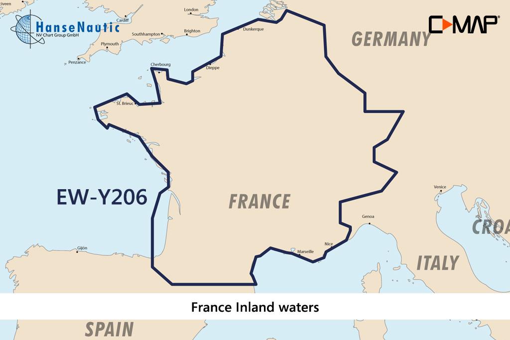
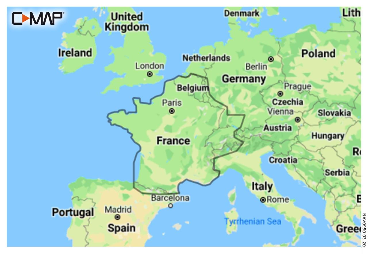
The C-MAP Discover France Inland is a medium coverage summarising a large area of inland waters in Western Europe. The EW-Y206 covers these areas:

  • Northern France with Alsace & Lorraine
  • Seine Loire Bourgogne
  • Rhone Saone to the Rhine
  • Brittany
  • Gironde Garonne and the Canal du Midi

The electronic nautical chart EW-Y206 is designed for extensive cruising on the inland waterways of France. It gives crews the ability to support even longer crossings with electronic navigational information. Even on smaller boats the large coverage allows flexibility in choice of watersports.

Media

This C-MAP Plotter Chart Inland France is supplied on an mSD media which is included in an SD card adapter.

Features of the C-MAP Discover

The electronic charts C-MAP Discover are modern vector charts for chartplotters on recreational boats. They contain all nautical information and complete set of navigational indications. With these chartplotters you can plan your voyages on board keep an overview while cruising and zoom in to details for entering harbours.
The Discover charts from C-MAP have the following range of functions:

  • All nautical charts of the selected area from the harbour or lock plan to the planning map for larger sections and groups of waters.
  • High resolution bathymetric data shows the depth contours condensed to 30cm intervals. This feature can be shown or hidden.
  • Tide data incl. high and low tide times as well as current data - A tide calendar and a current atlas are integrated into the chart
  • Easy Routing is the function developed by C-MAP which calculates a suggested route using the nautical chart and your boat dimensions especially draught.

Compatibility

The new C-MAP Discover products launched in 2021 are also compatible with all modern chartplotters from Simrad B&G as well as Lowrance as the successor of the MAX-N+ technology. Please check the compatibility list


Revocation excluded

These nautical charts are produced by us for you on customer request in order to always provide you with the most up-to-date data. For this reason, the charts are excluded from exchange and revocation.

Format: mSD-Karte
Size: Medium
Area preview

With the help of our area preview, you can get an impression of which geographical region the product deals with or which areas a nautical chart covers.

Products near this article

Products near this article

EDB 02 Loire/Nivernais
Canal du Loing Canal de Briare Canal latéral à la Loire Canal de Roanne à Digoin Canal du Centre Canal du NivernaisWith this inland guide you will discover besides the famous seven-step lock staircase

€22.00*
Les voies navigables de France
This map shows all the rivers and canals of mainland France at a scale of 1 : 1 250 000. For each waterway all details such as length water depth and headroom are given. All locks are also included. C

€14.50*
-3 %
C-MAP Reveal Frankreich, Küsten- und Binnengewässer mit Koriska EW-Y065
Electronic nautical chart for all French fishing and inland waters for the modern chartplotters and multifunction displays from Simrad B&G and Lowrance.CoverageThe C-MAP Reveal France Coastal and

€229.00* €236.81* (3.3% saved)
C-MAP 4D MAX+ Wide EW-D225 France Inland
Electronic nautical chart for the French inland waters for modern chartplotters and multifunction displays.CoverageThe C-MAP Chart EW-D225 covers the French inland waters . Data carrierThis elect

€239.00*
-2 %
C-MAP MAX Wide EW-M225 France Inland
Electronic nautical chart for the French inland  and the western Mediterranean for chartplotters and multifunction displays.Coverage:The C-MAP chart EW-M225 covers the French inlan

€289.00* €296.31* (2.47% saved)
EDB 11 Bourgogne/Nivernais
Burgundy Canal Yonne and Canal du Nivernais.This inland guide describes the entire navigable section of the Yonne River.Although the Yonne carries more water than the Seine at the level of Montereau o

€22.00*
EDB 03 Bourgogne/Franche Compté
Saône, Seille, Canal entre Champagne et Bourgogne (Langres - Heuilley), Canal des Vosges (Fontenoy-le-Château bis Corre), Doubs, Canal de Bourgogne (Pouilly-en-Auxois bis Saint-Jean-de-Losne), Canal d

€22.00*
EDB 19 La Marne
Marne canal latéral à la Marne canal de lAisne à la Marne canal entre Champagne et Bourgogne.There are several good reasons why you should choose the "Route Marnaise" when travelling between northern

€22.00*
-3 %
C-MAP Reveal Nordwest-Europa (North-West European Coasts) EW-Y227
Electronic nautical chart for the North Sea and English Channel to the French Atlantic for the modern chartplotters and multifunction displays from Simrad B&G and Lowrance.CoverageThe C-MAP Reveal

€229.00* €236.81* (3.3% saved)
EDB 21 La Seine
Seine maritime Seine aval traversée de Paris Seine amont Petite Seine canal Saint-Denis canal Saint-Martin canal de lOurcqThe Seine is after the Loire Frances second longest river and crosses the coun

€25.50*
EDB 05 Lot
Navigable Lot between Aiguillon and Saint-Vite and between Luzech and LarnagolUntil the end of the 19th century the Lot was officially navigable for over 400 kilometres. At the beginning of the 20th c

€21.00*

Reviews

0 of 0 reviews

Leave a review!

Share your experiences with other customers.