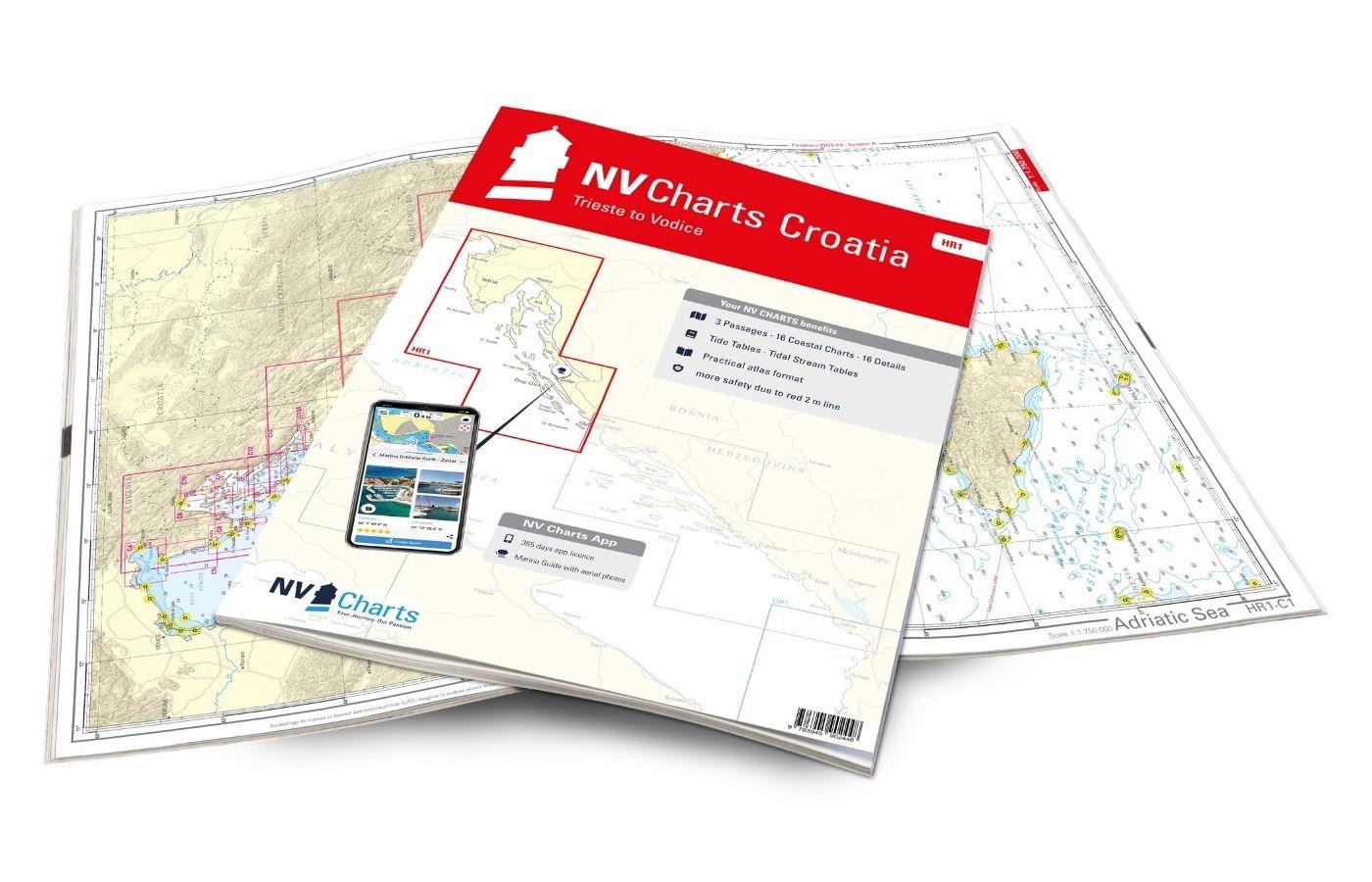
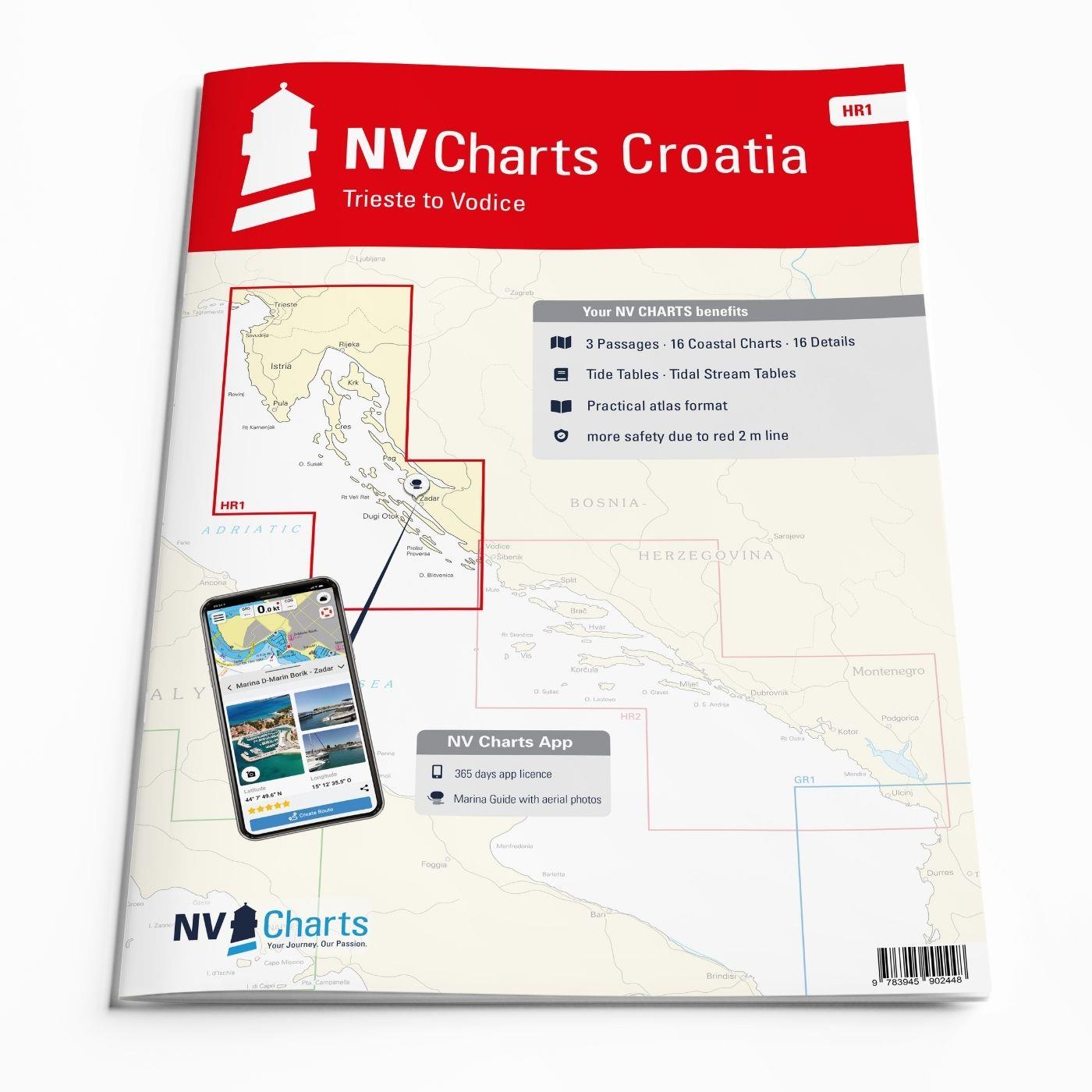
NV Charts Croatia HR 1: Trieste to Vodice
Description
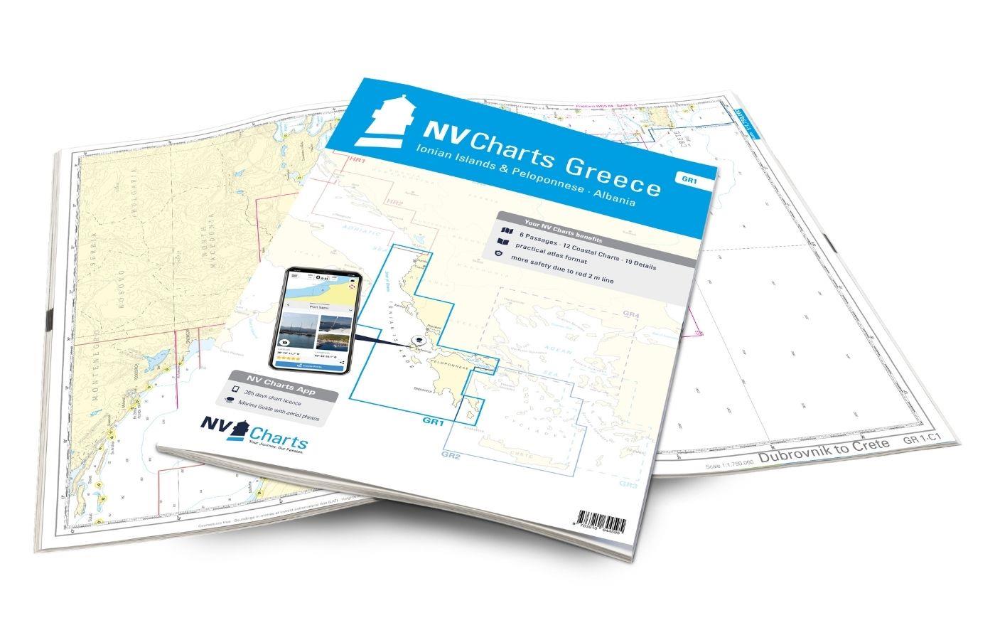
Want to discover the northern Adriatic? Our chart set NV Charts HR1 guides you from Istria to North Dalmatia. With its clear structure, the recreational boater quickly finds access points, harbors, and anchorage spots and is pointed to important navigational details, which also appear in the NV Charts App. The chart work impresses with its optimal scales and balanced sheet cuts.
Regional Overview
Croatia - the small country on the Adriatic in the former Yugoslavia is very popular with tourists and water sports enthusiasts due to its coastline with shimmering blue water and its over 1,200 islands. Here, everyone finds their paradise – from secluded anchor bays, piers at small restaurants, the "Konobe", to luxurious marinas with all-around carefree packages. To support your adventure from Trieste to Vodice on the Adriatic with clearly structured and detailed sea charts for the region, we have produced the most comprehensive and up-to-date sea chart sets for Croatia using official data and our own surveys and travels. With this sea chart, you are optimally equipped for your trip along the Croatian coast!
This Chart Set Includes
- 3 passage charts
- 16 coastal charts
- 16 detail charts
- Digital charts for navigation program and NV Charts App 356-day license
- Navigation instructions in English
- Harbor plans Paper & Digital
- Meets all legal requirements for up-to-date paper sea charts on board
All Advantages at a Glance
- NV Atlas Charts Format: practical, handy atlas format, opened in A2, closed in A3 format, central flat stapling - allows easy work with the course triangle
- NV Charts App: includes access code to the digital sea charts of the purchased area in the NV Charts App with a 365-day license, for offline navigation with the app on iOS, Android, PC, Mac, or in the web browser, comprehensive harbor manual
- Extremely Detailed: Sea charts based on official surveys and our own surveys, particularly rich in detail outside the main waterways
- Optimized for Recreational Boating
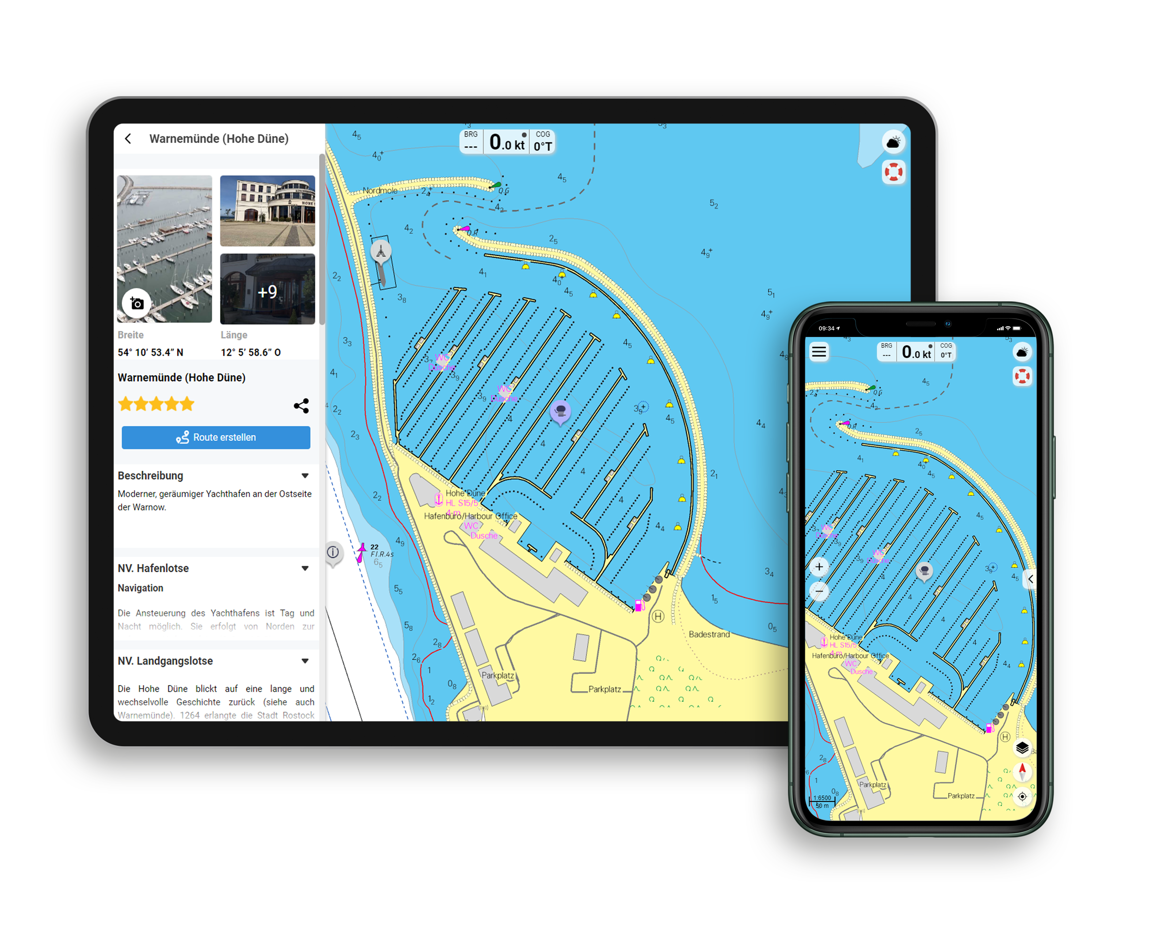
Features of the NV Charts App
- Flexible Autorouting
- Satellite Overlay
- Augmented Reality
- VMG (Velocity Made Good)
- BoatView Harbor Guide
- Track recording
- AIS connection and more.
Included Charts and Scales
Passage Charts
C 1 Adriatic Sea 1: 1.750.000 ,C 2 Trieste to Rt Veli Rat 1: 350.000 ,C 3 Rt.Veli Rat to Otok Brac 1: 350.000
Coastal Charts
C 4 Gulf of Trieste 1: 100.000 ,C 5 Portorož to Rovinj 1: 100.000 ,C 6 Rovinj to Pula 1: 100.000 ,C 7 Pula to Cres 1: 100.000 ,C 8 Rijecki Zaljev 1: 100.000 ,C 9 Velebitski Kanal Northern Part 1: 100.000 ,C10 Kvarneric Northern Part 1: 100.000 ,C11 Hr. Porer to O. Ilovik 1: 100.000 ,C12 Kvarneric 1: 100.000 ,C13 Velebitski Kanal 1: 100.000 ,C13A Novigradsko More 1: 100.000 ,C14 O.Olib to O.Ugljan 1: 100.000 ,C15 O.Molat to O.Pašman 1: 100.000 ,C16 O.Iž to O.Murter 1: 100.000
Details
C17A Trieste 1: 25.000 ,C17B Koper 1: 8.000 ,C17C Izola 1: 8.000 ,C17D Portorož 1: 25.000 ,C17E Umag 1: 10.000 ,C18A Novigrad 1: 12.000 ,C18B Rovinj 1: 15.000 ,C18C Pomer Bay 1: 40.000 ,C18D Porec to Vrsar 1: 30.000 ,C19A Pula to Veruda 1: 25.000 ,C19B Zaljev Raša 1: 30.000 ,C20A Cres 1: 12.000 ,C20B Marina Opatija 1: 6.000 ,C20C Marina Admiral 1: 10.000 ,C20D Rijeka 1: 20.000 ,C20E Crikvenica 1: 6.000 ,C20F Novi Vinodolski 1: 6.000 ,C21A Bakarski Zaljev 1: 22.000 ,C21B Tihi Kanal 1: 25.000 ,C21C Malinska 1: 6.000 ,C21D Krk 1: 6.000 ,C21E Puntarska Draga 1: 15.000 ,C22A Senj 1: 6.000 ,C22B Rab 1: 12.000 ,C22C Supetarska Draga 1: 20.000 ,C22D Jablanac 1: 6.000 ,C22E Novalja 1: 6.000 ,C22F Pag 1: 6.000 , C23A Losinški Kanal 1: 20.000 , C23B Ilovicka Vrata 1: 25.000 , C23C Luka Malij Lošinj 1: 25.000 , C24 Sedmovrace 1: 30.000 , C25A Prolaz Zapuntel 1: 15.000 , C25B Zadar 1: 15.000 , C25C Marina Dalmacija 1: 10.000 , C25D Pašmanski Kanal 1: 40.000 , C26 Pirovacki Zaljev 1: 40.000 , C27 Kornatski Kanal 1: 50.000 , C27A Luka Telašcica 1: 50.000 , C27B Kurba Vela 1: 50.000
Legend · General Notes p.28
| App License: | NV Charts App |
|---|---|
| Format: | NV Atlas, Gebundener Kartensatz |
With the help of our area preview, you can get an impression of which geographical region the product deals with or which areas a nautical chart covers.
Reviews
Login
11 March 2021 15:31
Lars W.
Sehr übersichtliche Seekarten und viele Infos und geheimtipps. Einziges Manko für mich: Die App läuft auf allen Systemen nur Linux noch nicht :( Trotzdem die besten Karten die ich für Istrien je hatte.

