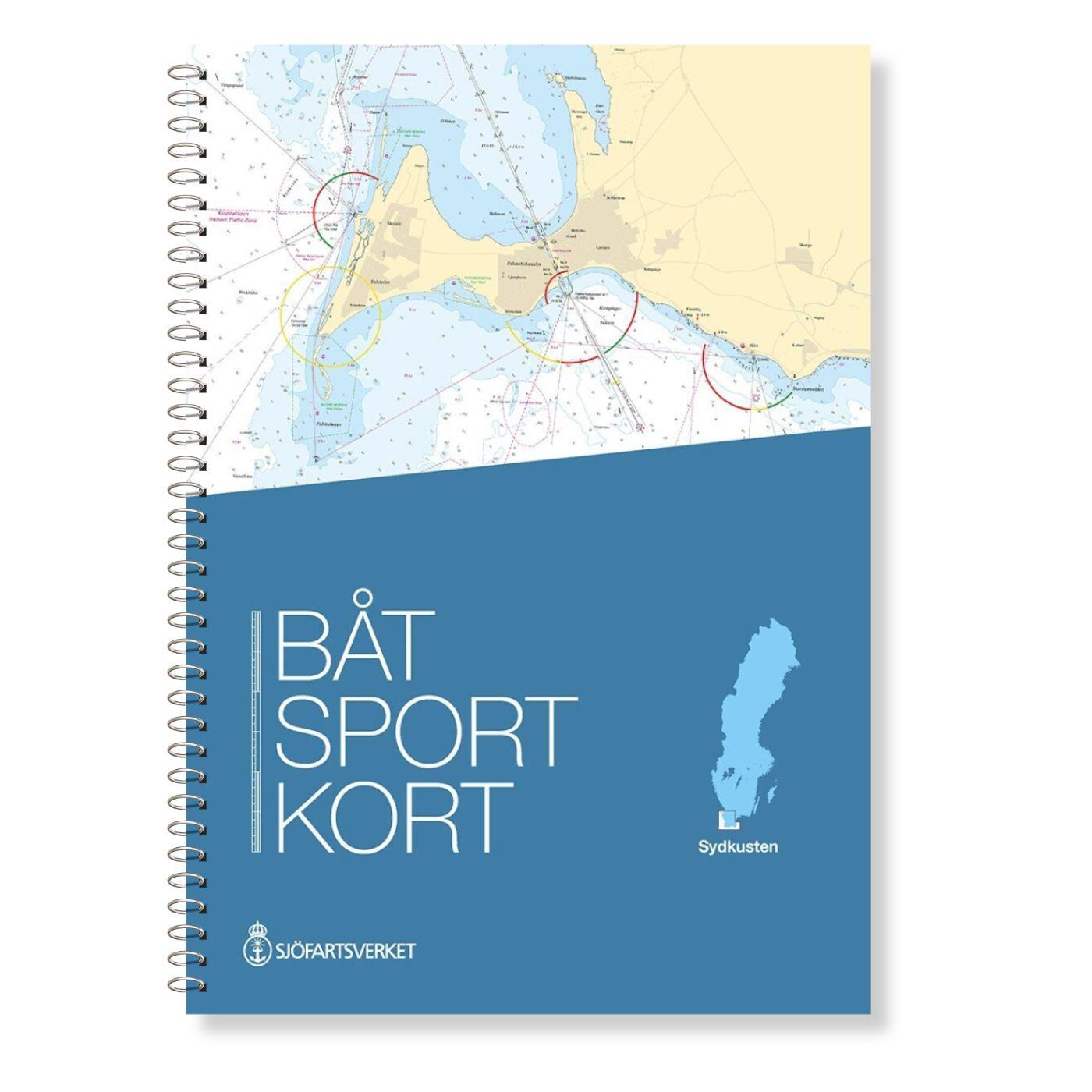
Schwedische Serie Sydkusten

Chart ID: S Serie Sydkusten

€78.00*


Product number: 20456

Description


This official Swedish recreational chart set (Båtsportkort) Sydkusten (Skåne) covers the area from Kullen to Simrishamn.


In addition to the Swedish coast the Danish coast including Copenhagen and Köge Bay is also covered in the Öresund area.


This set of recreational boat charts contains 24 nautical charts at a scale of 1:50000 and additional nautical charts and harbour plans at a better scale
in particular the area of the Öserund Bridge stands out due to its better scale.


The Swedish official nautical charts contain the same "nautical chart picture" as the "large" official nautical charts supplemented with information about bins and
other useful information of interest to recreational boaters.
The Boating Charts is designed as a ring-bound chart series. On each sheet there are clear page references in the form of arrows pointing to the next page.
In addition there is an extract from Map 1 describing the most common symbols in diagrams.

Language: Schwedisch, Englisch
Region: Dänemark, Ostsee, Schweden
Size: Spiralbindung , 30x45cm
Area preview

With the help of our area preview, you can get an impression of which geographical region the product deals with or which areas a nautical chart covers.

Related products to this item

Related products to this item

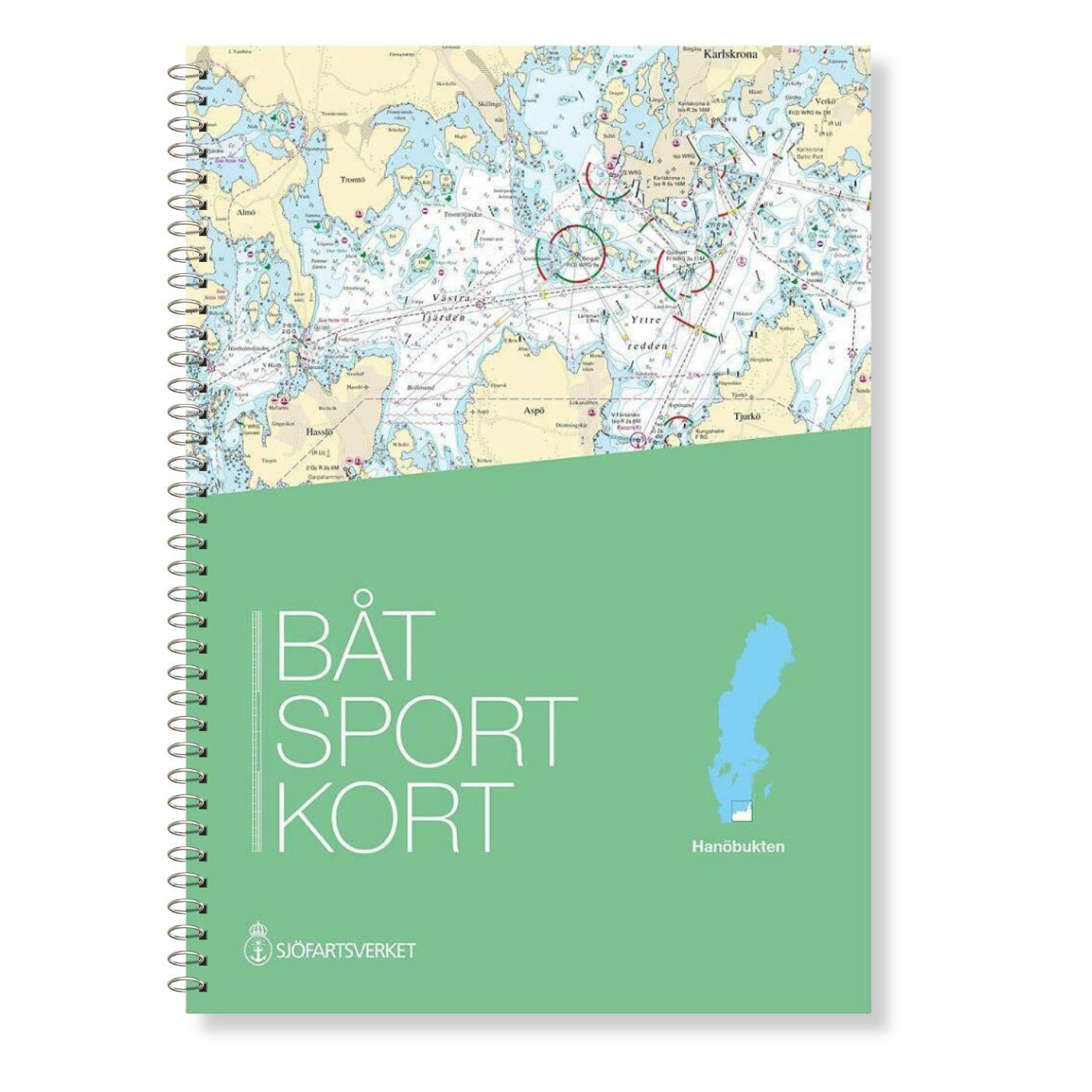
Swedish series Hanö Bay
The official Swedish recreational chart set Hanöbucht (Båtsportkort Hanöbukten) covers the Swedish coast in the area of Hanöbucht from Skillinge to Bergkvara in the Kalmarsund.Also this official

€78.00*
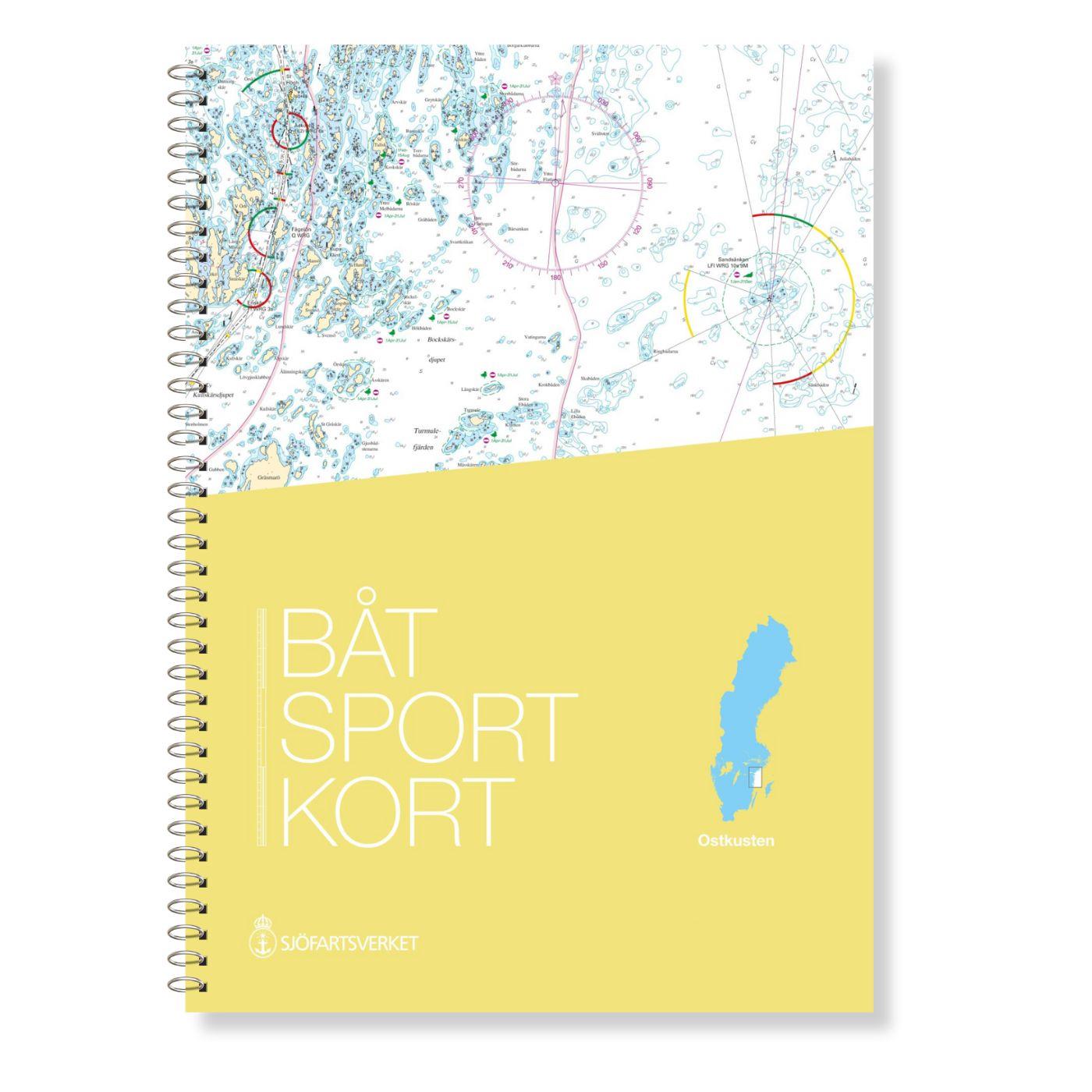
Swedish Series East Coast
The Swedish Sport Boat Chart Series East Coast (Båtsportkort Ostkusten) presents the fairways and approaches of the archipelago fairways between Troasa and Västervik. The entrance to the Göta Can

€78.00*
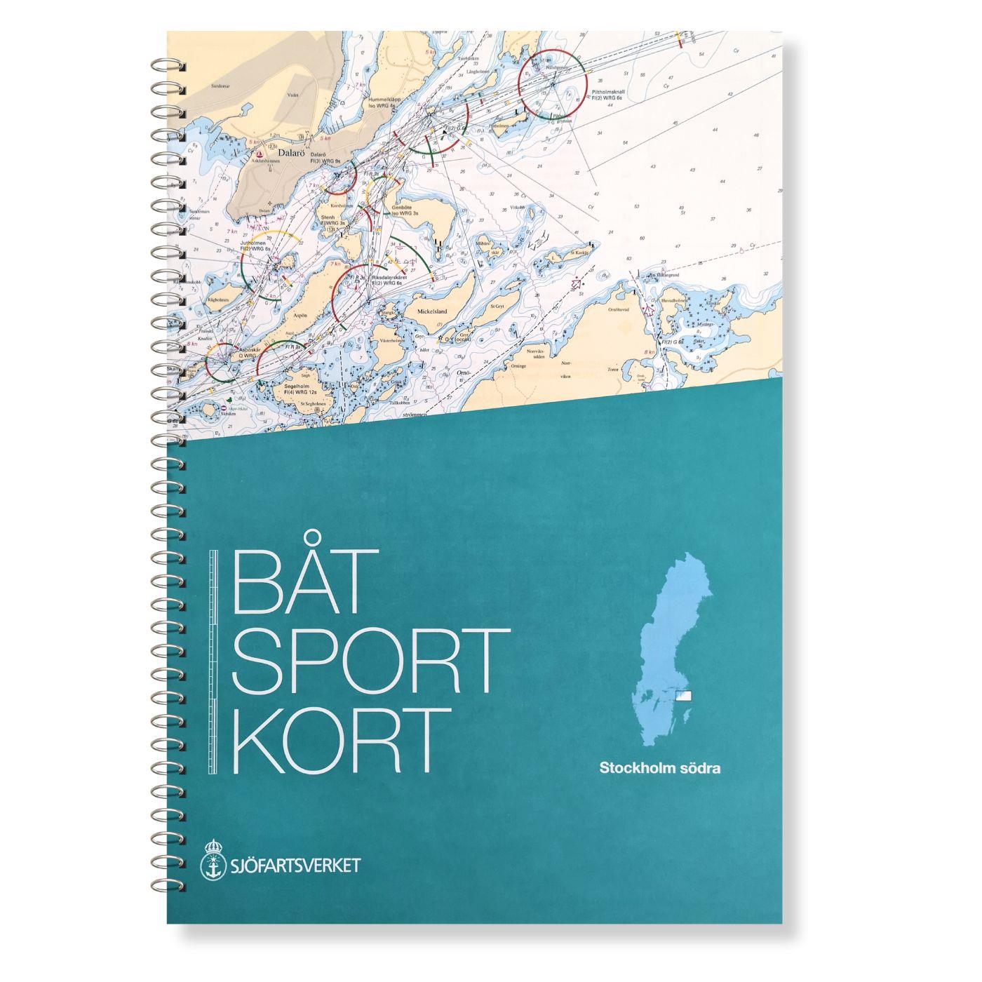
Swedish Series Stockholm S Södra
The official Swedish recreational boating chart set Stockholm Södra published by the Swedish Sjöfartsverket consists of very detailed nautical charts of the southern Stockholm archipelago. The area fr

€78.00*
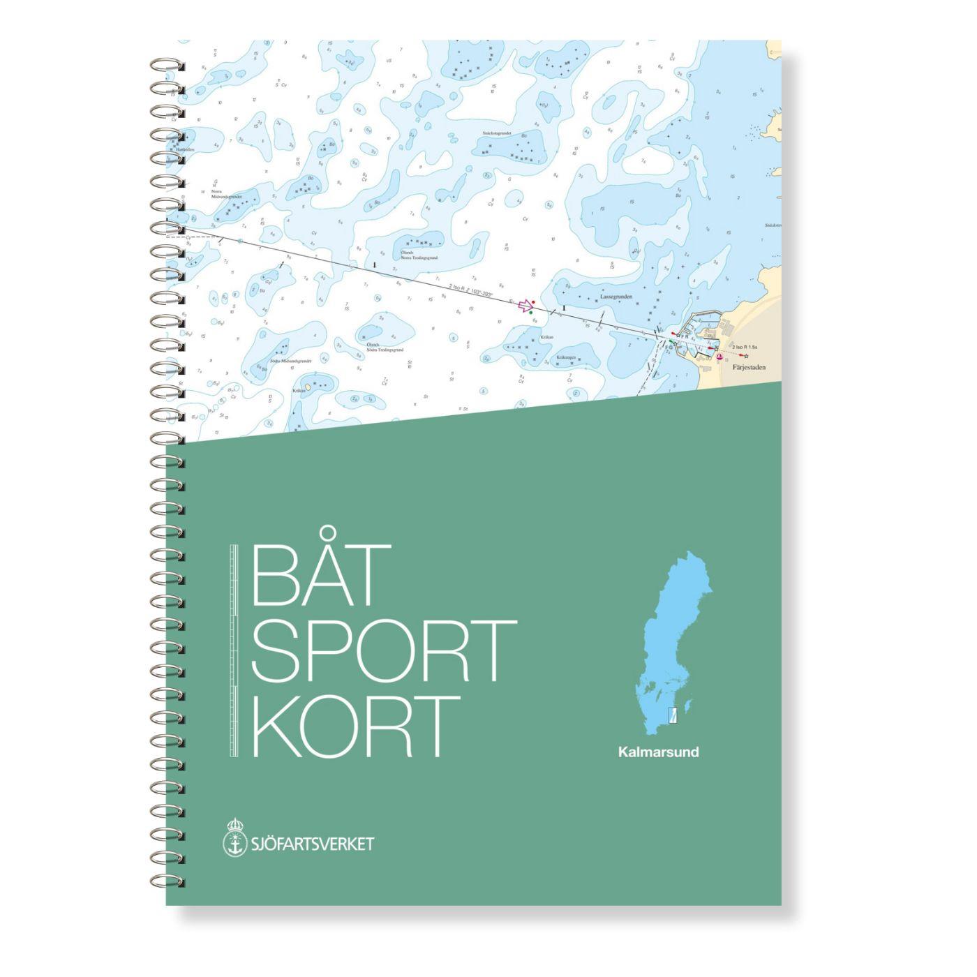
Swedish series Kalmarsund
The official Swedish sport boat chart set (Båtsportkort) Kalmarsund covers the Kalmarsund from Västervik to Bergkvara. The island of Gotland is shown on the oversailers without detail or approach char

€78.00*
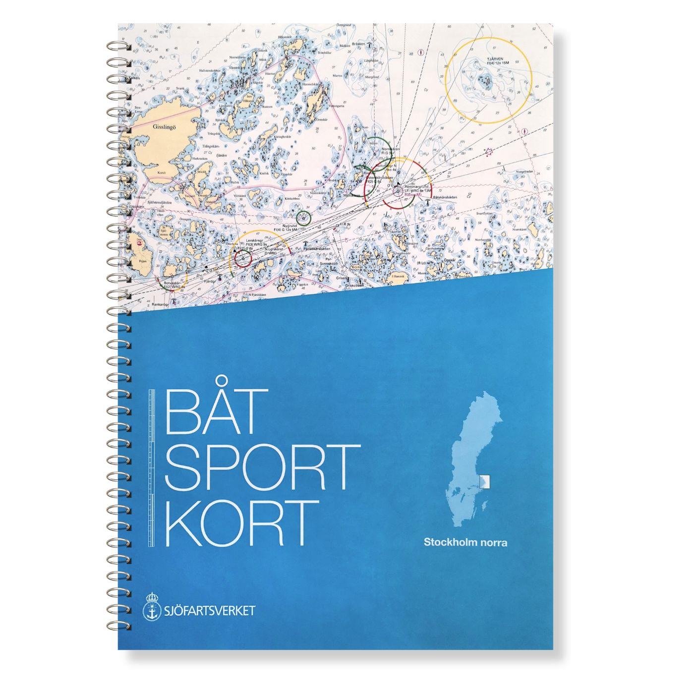
Swedish Series Stockholm N Norra
The Swedish recreational boating chart set Stockholm Norra covers the northern Stockholm archipelago from Sandhamn to Öregrund. It also covers the sea area between the Swedish coast and the Aland Isla

€78.00*
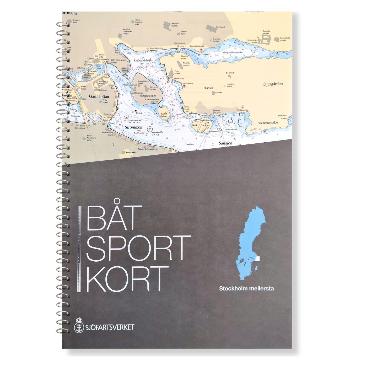
Swedish Series Stockholm M Mellersta
In this set of official Swedish recreational boat charts (Båtsportkort) Stockholm Mellersta (centre) the Swedish capital Stockholm with its southern and central approaches is depicted i

€78.00*
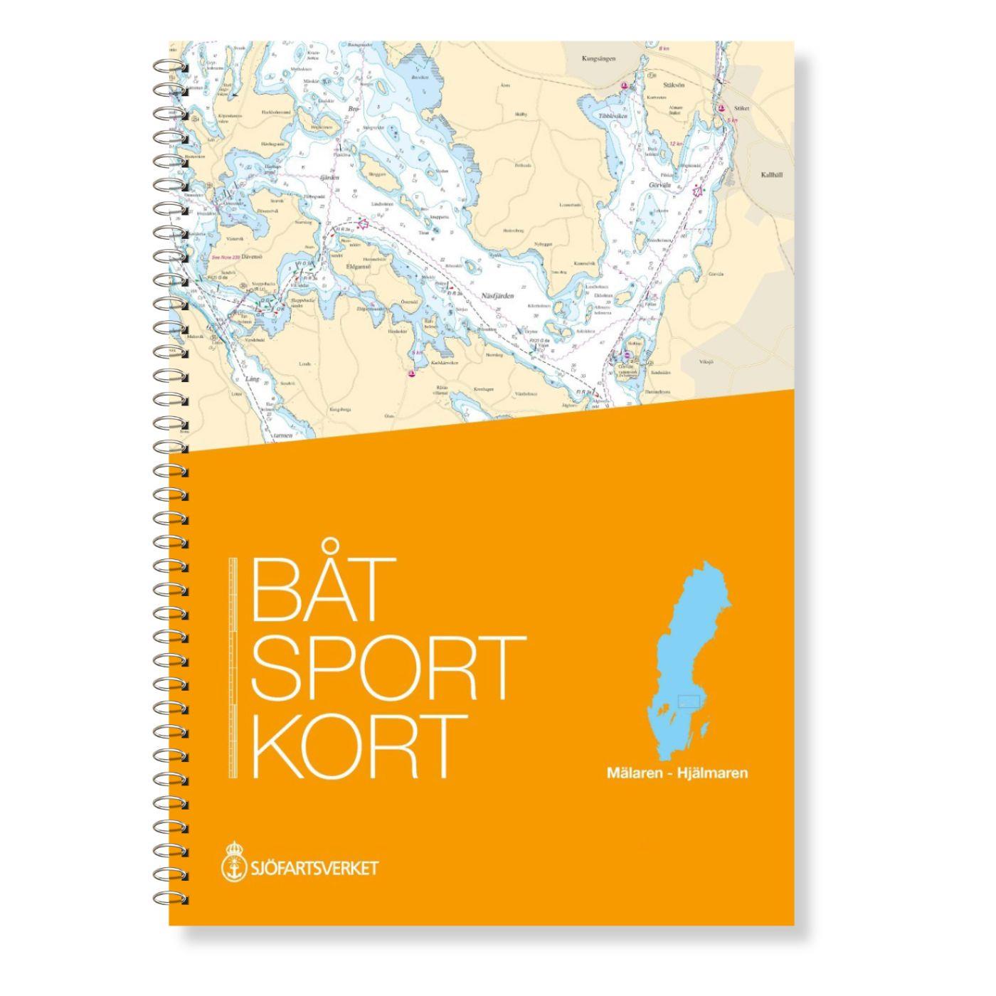
Swedish series Mälaren - Hjälmaren
In this official Swedish recreational boating chart set Mälaren- Hjälmaren the popular Swedish inland waterways Mälaren and Hjälmaren are covered. This extends from Stockholm into the Mälare

€78.00*

Reviews

0 of 0 reviews

Leave a review!

Share your experiences with other customers.