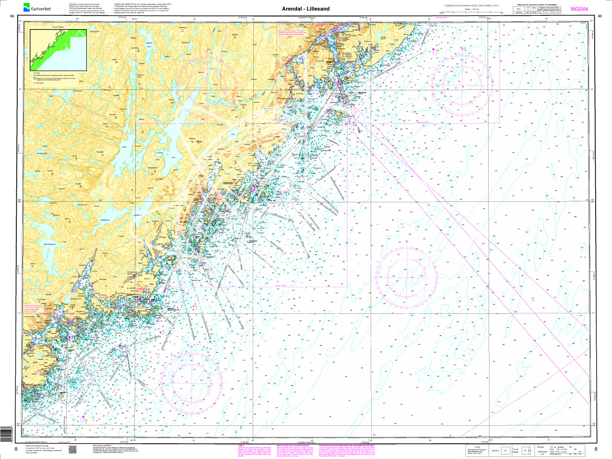
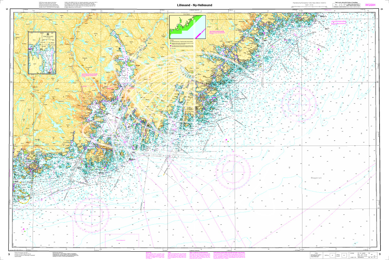
Norwegen N 8 Südnorwegen von Arendal bis Lillesand

Chart ID: NOR 8
Scale: 1:50.000

€27.70*


Product number: 20510

Description

The Map N 8 covers a part of the Norwegian south coast at the Skagerrak from Arendal to Lillesand including the offshore archipelago. The detailed scale is 1:50000. We print this map on customer request from actual data sets of the Norwegian Bureau of Hydrography using the Print-on-Demand (POD) method.

POD charts are excluded from exchange.

The official Norwegian nautical charts are not only suitable for water sports enthusiasts and anglers for navigation but are also very popular with cruise tourists.

For more information on the official Norwegian nautical charts printed by HanseNautic using the print-on-demand (POD) process please click here.

Region: Europa, Skagerak, Norwegen
Size: Einzelkarte Papier
Area preview

With the help of our area preview, you can get an impression of which geographical region the product deals with or which areas a nautical chart covers.

Recommended by NV Charts

Related products to this item

Related products to this item

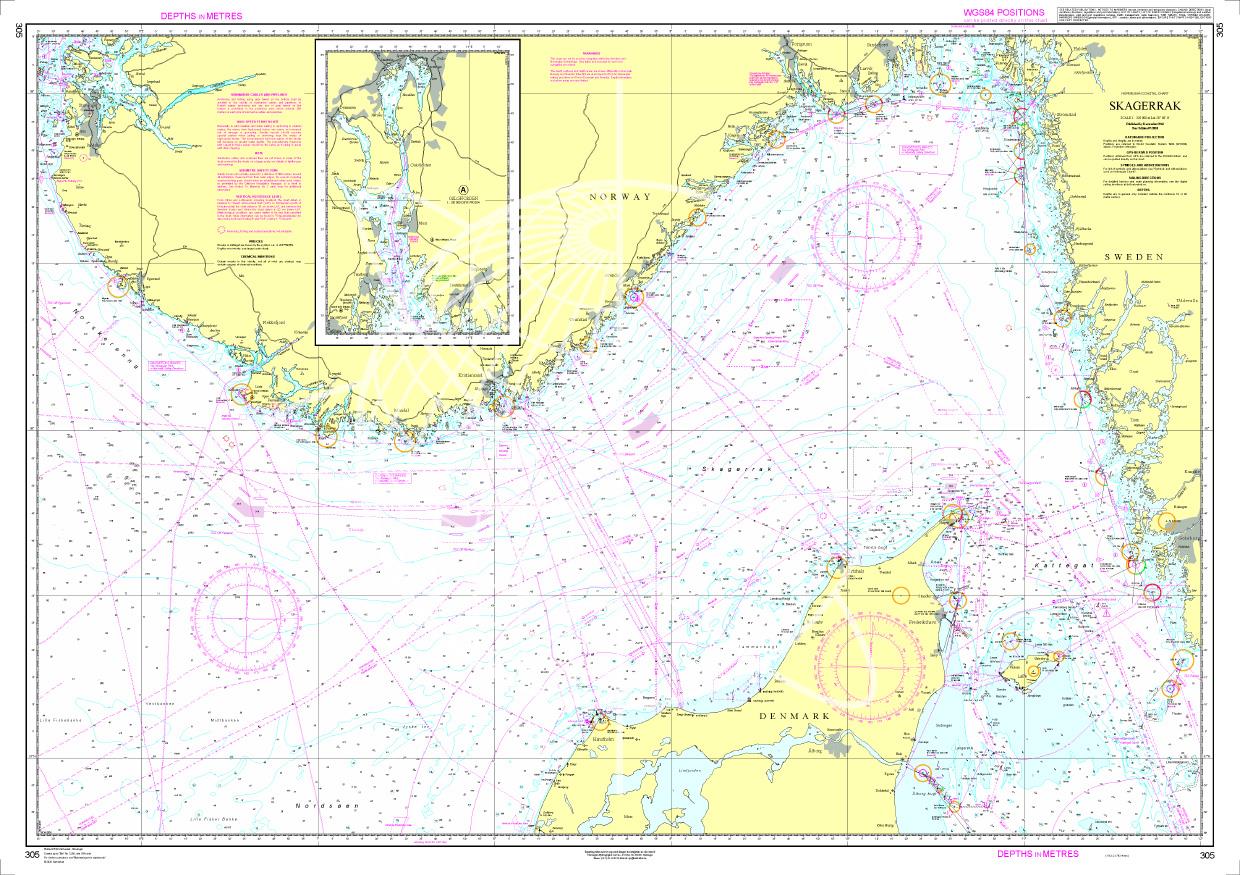
Norwegen N 305 - Skagerrak
The Sea Chart N 305 covers the Skagerrak between the Norwegian south coast Skagen and the Swedish west coast. In addition the Oslofjord up to Oslo is shown at the same scale as a supplement. Sea chart

€27.70*
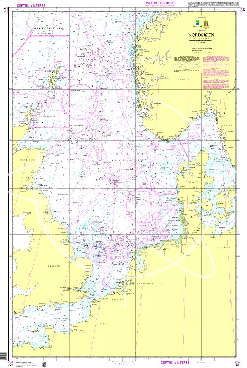
N 301 POD
Nordsjøen. - POD cards are excluded from exchange.

€27.70*
Norwegen N 9 Südnorwegen von Lillesand, Kristiansand bis Ny-Hellesund
The Map N 9 covers the southern Norwegian coast from Lillesand to the island of Ny-Hellesund incl. Kristiansand in the Skagerrak. The detailed scale is 1:50000. We print this m

€27.00*

Products near this article

Products near this article

NV Atlas Norway NO3 Sørlandet Øst - Kristiansand til Kragerø
From the popular Kragerø, you can use this chart set to make your way along the gorgeous archipelago coast with its approximately 500 small islands via Risør in the direction of Kristiansand, relative

€74.99*
NV Norwegen Plotterseekarten
Maps & Port plans of the series NO 1 NO 2 NO 3 NO 4 NO 5 & NO6Discover Norway the land of 1000 fjords with plotter sea charts from NV Verlag. All 6 NV Norway sets are included on this map chip m

€129.99*
NV Atlas Serie 9 - Hirtshals to Esbjerg & Limfjord
The Danish west coast and the Limfjord are among the most popular holiday regions in the Scandinavian country. The coast is known for its endless, fine sandy beaches. The Limfjord is an elongated soun

€64.99*
N 451 POD
Grimstad. - POD cards are not exchangeable.

€27.70*
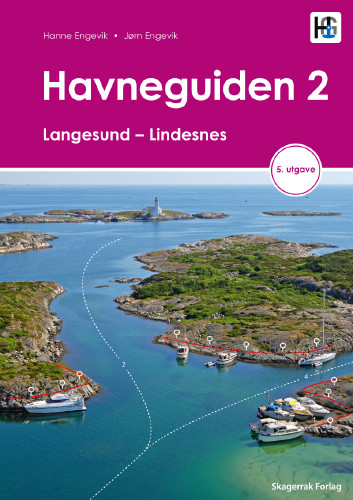
Havneguiden 2 Landesund - Lindesnes
The Danish south-east coast of the Oslofjord is much easier to conquer when Havneguide 2 is allowed to accompany youIn this Norwegian-produced harbour guide you ll be introduced to 293 harbours an

€74.90*
N 453 POD
Arendal havn. Den Norske Kyst. - POD cards are excluded from exchange.

€27.70*
Norwegen N 305 - Skagerrak
The Sea Chart N 305 covers the Skagerrak between the Norwegian south coast Skagen and the Swedish west coast. In addition the Oslofjord up to Oslo is shown at the same scale as a supplement. Sea chart

€27.70*
Norwegen N 7 von Risør bis Arendal
The Sea Chart N 7 covers the western coast of the Oslofjord including all offshore archipelagos from Risør to Arendal. The detailed scale is 1:50000. We print the map on customer reque

€27.70*
Norwegen N 9 Südnorwegen von Lillesand, Kristiansand bis Ny-Hellesund
The Map N 9 covers the southern Norwegian coast from Lillesand to the island of Ny-Hellesund incl. Kristiansand in the Skagerrak. The detailed scale is 1:50000. We print this m

€27.00*
ADMIRALTY NP56 Norway Pilot Vol 1
Official ADMIRALTY Sailing Directions for Norway (South Coast)The Skagerrak and the coast of Norway from Egersund/Jaerens Rev to the Norwegian/Swedish border and on to Marstand are covered in detail.

€99.00*
N 459 POD
Kristiansand havn. - POD cards are excluded from exchange.

€27.70*

Reviews

0 of 0 reviews

Leave a review!

Share your experiences with other customers.