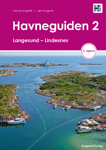
Havneguiden 2 Landesund - Lindesnes

€74.90*


Product number: 22359

Description

The sophisticated south-east coast of the Oslofjord is much easier to conquer when Havneguide 2 is allowed to accompany you.
This Norwegian-produced harbour guide introduces you to 293 harbours, anchorages and natural harbours. All harbours are presented by means of large-scale map sketches and well-resolved aerial photographs. In addition to nautical information such as approach (with waypoint), anchoring and supply possibilities, the texts also contain a general section with information on the respective location. Where available, the website and telephone number are also given. The use of maps, aerial photographs and pictograms throughout makes the book very easy to use even without knowledge of the Norwegian language.

293 Harbours and anchorages
308 pages
Practical spiral binding
A4 format
2019
Norwegian language with short texts in English

Our recommendation:
You should always have the NO3 from NV Charts on board. If you are heading further towards Norway's capital, we recommend the Havneguide 1 and the NO1 and NO2 maps.

Author: Jörn Engevik, Hanne Engevik
Language: Norwegisch
Region: Europa, Skagerak, Norwegen
Size: Spiralbindung , Buch
Area preview

With the help of our area preview, you can get an impression of which geographical region the product deals with or which areas a nautical chart covers.

Related products to this item

Related products to this item

Gebietsvorschau für Havneguiden 1 Svinesund - Langesund öffnen
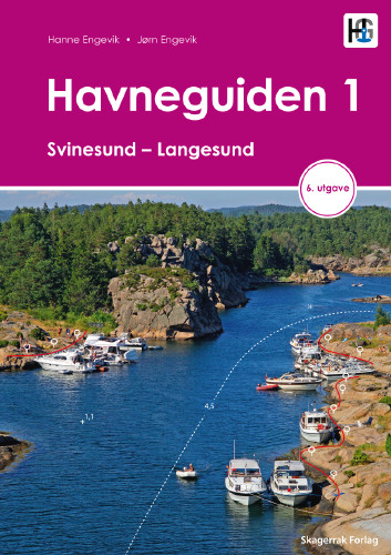
Havneguiden 1 Svinesund - Langesund
Boaters planning to sail the Oslo Fjord should definitely have the Havneguiden1 (Svinesund to Langesund) on board as a cruising guide.This is a Norwegian-made guide to ports, with unique aerial photos

€74.90*
Gebietsvorschau für Havneguiden 3 Lindesnes - Bergen öffnen
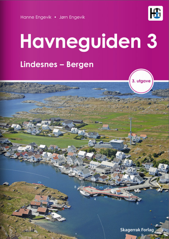
Havneguiden 3 Lindesnes - Bergen
When the rugged and beautiful southwest coast of Norway calls, be sure to take Havneguide 3 with you as it guides you from Lindesnes to Bergen.The most comprehensive Norwegian cruising guide has over

€74.90*
Gebietsvorschau für NV Charts Norway NO3 - Sørlandet East - Kragerø to Kristiansand öffnen
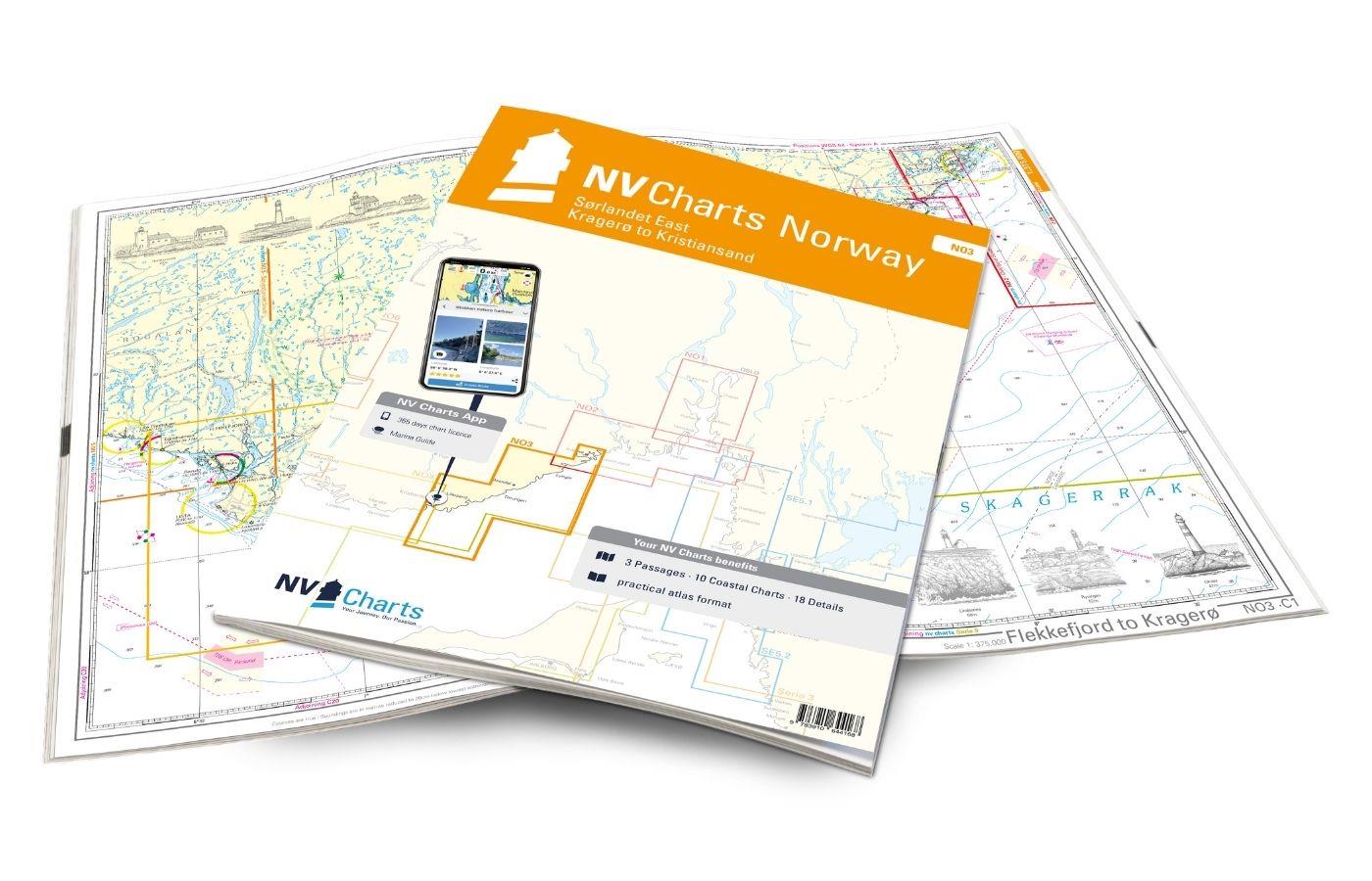
NV Charts Norway NO3 - Sørlandet East - Kragerø to Kristiansand
The NV Charts Norway Atlas NO3 covers the southern coast of Norway up to Kristiansand. NV charts for the Norwegian coast are based on data from the Norwegian Hydrographic Office and also include the h

€74.99*
Gebietsvorschau für Hamnguiden 5 Göteborg - Svinesund öffnen
Hamnguiden 5 Göteborg - Svinesund
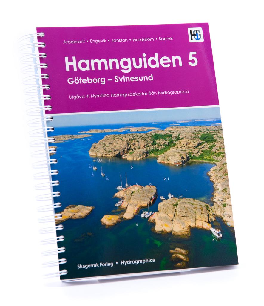
The harbour guide Gothenburg - Svinesund takes you directly to the beautiful archipelago landscape of Sweden's west coast from Gothenburg to just before the Oslo Fjord.This sailing guide contains a nu

€74.90*
Gebietsvorschau für NV Charts Norway NO2 - Oslofjord Sør, Svenska Grensen til Kragerø öffnen
NV Charts Norway NO2 - Oslofjord Sør, Svenska Grensen til Kragerø
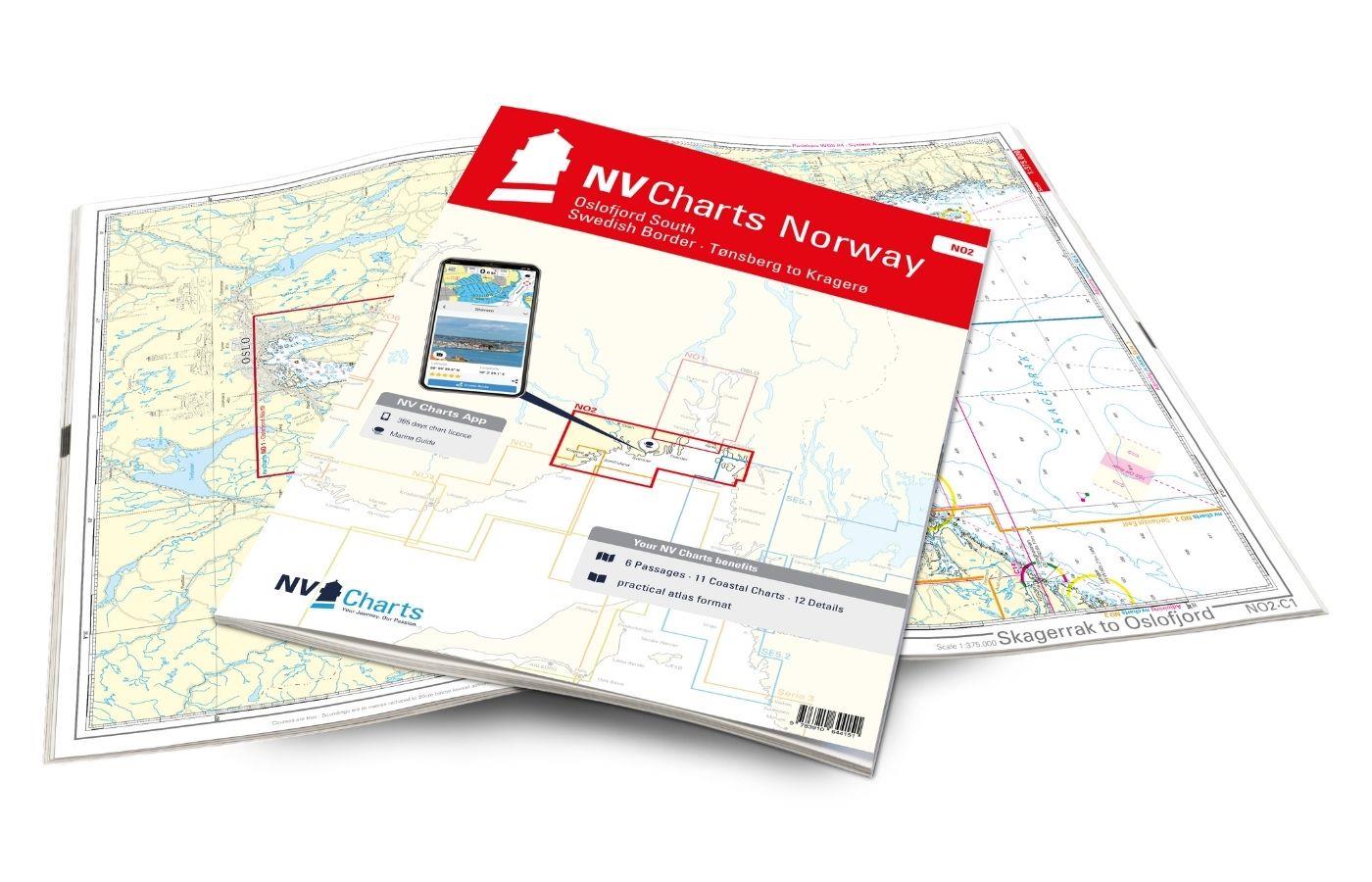
The NV Charts Atlas NO2 covers the southern Oslofjord. NV Charts for the Norwegian coast are based on data from the Norwegian Hydrographic Office and also include the harbour plans of the "Norske Los"

€74.99*
Gebietsvorschau für NV Charts Norway NO4 - Sørlandet Vest - Flekkefjord til Kristiansand öffnen
NV Charts Norway NO4 - Sørlandet Vest - Flekkefjord til Kristiansand
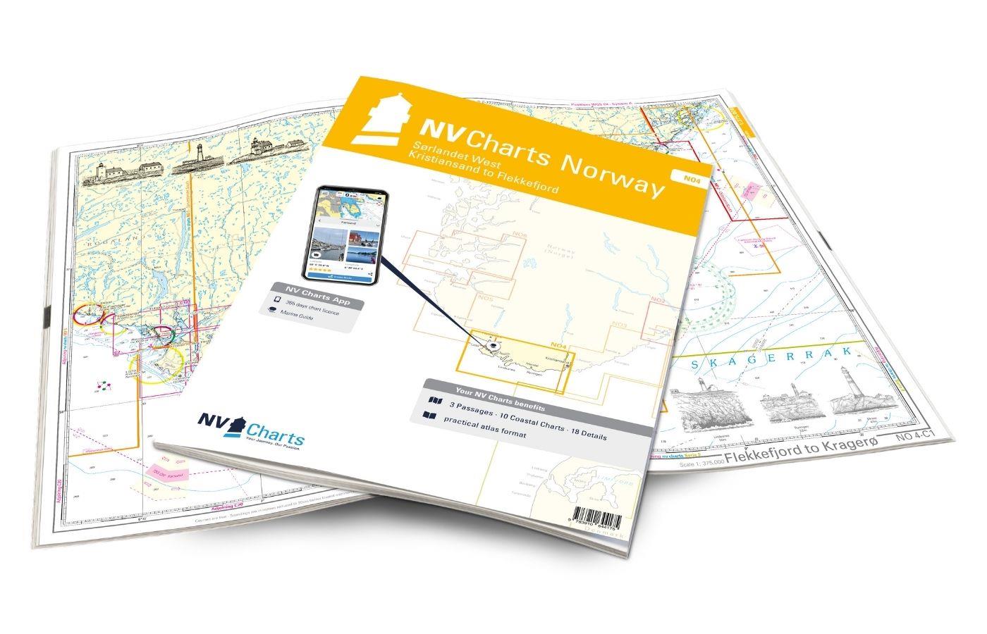
If you want to travel from North Jutland directly to the south-west coast of Norway, you should take the NV Charts Norway NO4 on board. The NV Charts for the Norwegian coast are based o

€74.99*
Gebietsvorschau für NV Charts Norway NO1 - Oslofjord Nord, Oslo to Tønsberg öffnen
NV Charts Norway NO1 - Oslofjord Nord, Oslo to Tønsberg
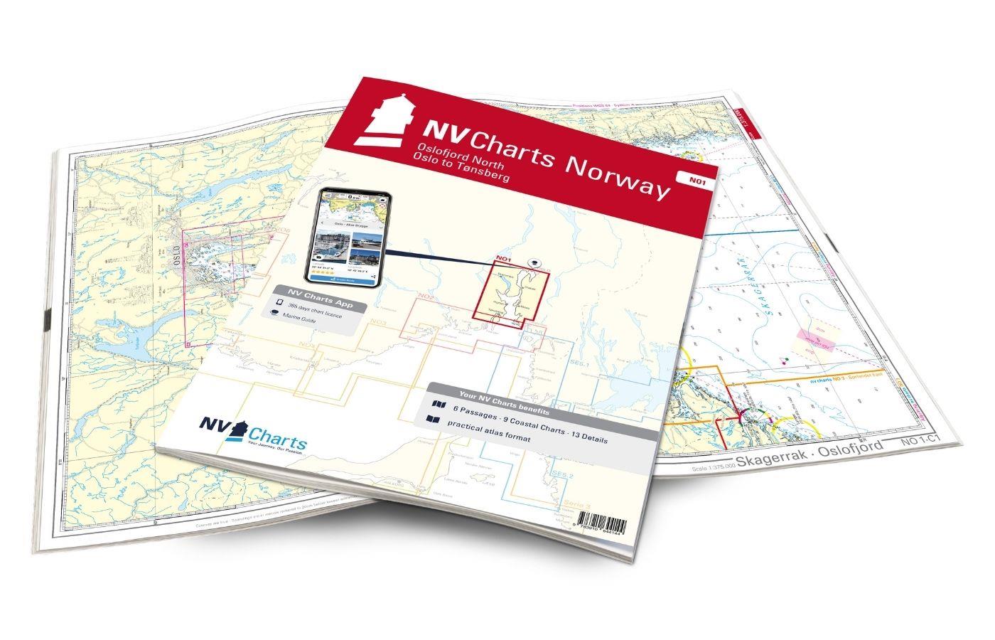
The NV Charts Norway Atlas NO1 covers the region around Oslo. NV Charts charts for the Norwegian coast are based on data from the Norwegian Hydrographic Office and also include the harbour plans of th

€74.99*

Reviews

0 of 0 reviews

Leave a review!

Share your experiences with other customers.