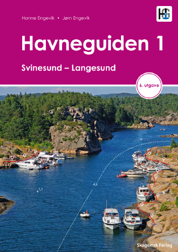
Havneguiden 1 Svinesund - Langesund

€74.90*


Product number: 22358

Description

Boaters planning to sail the Oslo Fjord should definitely have the Havneguiden1 (Svinesund to Langesund) on board as a cruising guide.

This is a Norwegian-made guide to ports, with unique aerial photos taken by the Hydrographic Institute and Norwegian journalists who live there. What's more, the Oslo Fjord is one of the busiest waterways in the north, and anyone who chooses this cruise can't help but be delighted by the little secrets, such as the quiet harbours. A total of 390 ports, anchorages and natural harbours are presented using large-scale sketch maps and well-defined aerial photos with commentary.
The texts contain not only nautical information such as approach (with landmarks), mooring and refuelling facilities, but also a general section with information on the location in question. Where applicable, the website and telephone number are also given.

390 Harbours and anchorages
427 pages
practical spiral binding
A4 format
2019
in Norwegian with short texts in English.
Our recommendation:

To accompany you further, we recommend our two NO1 and NO2 nautical charts for the busy Oslo Fjord.

Author: Jörn Engevik, Hanne Engevik
Format: Spiralbindung
Language: Norwegisch, Englisch
Region: Europa, Kattegat, Norwegen
Area preview

With the help of our area preview, you can get an impression of which geographical region the product deals with or which areas a nautical chart covers.

Related products to this item

Related products to this item

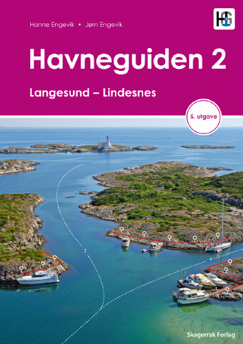
Havneguiden 2 Landesund - Lindesnes
The sophisticated south-east coast of the Oslofjord is much easier to conquer when Havneguide 2 is allowed to accompany you.This Norwegian-produced harbour guide introduces you to 293 harbours, anchor

€74.90*
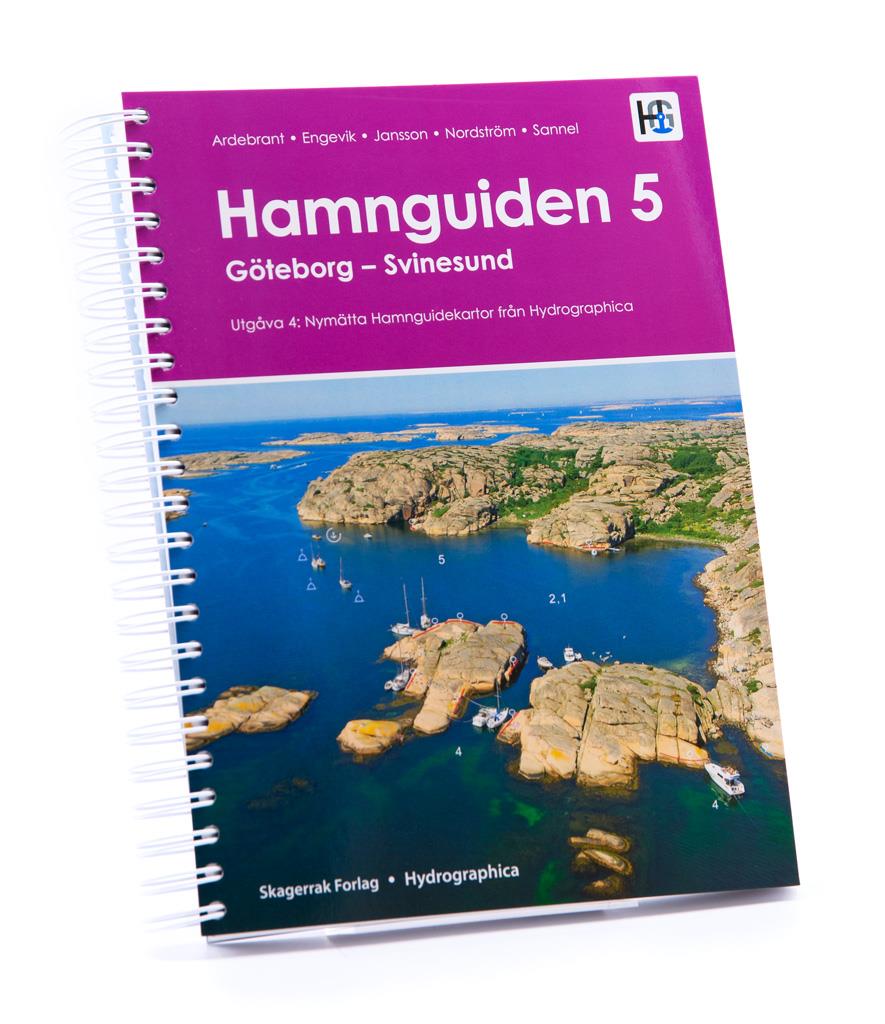
Hamnguiden 5 Göteborg - Svinesund
The harbour guide Gothenburg - Svinesund takes you directly to the beautiful archipelago landscape of Sweden's west coast from Gothenburg to just before the Oslo Fjord.This sailing guide contains a nu

€74.90*
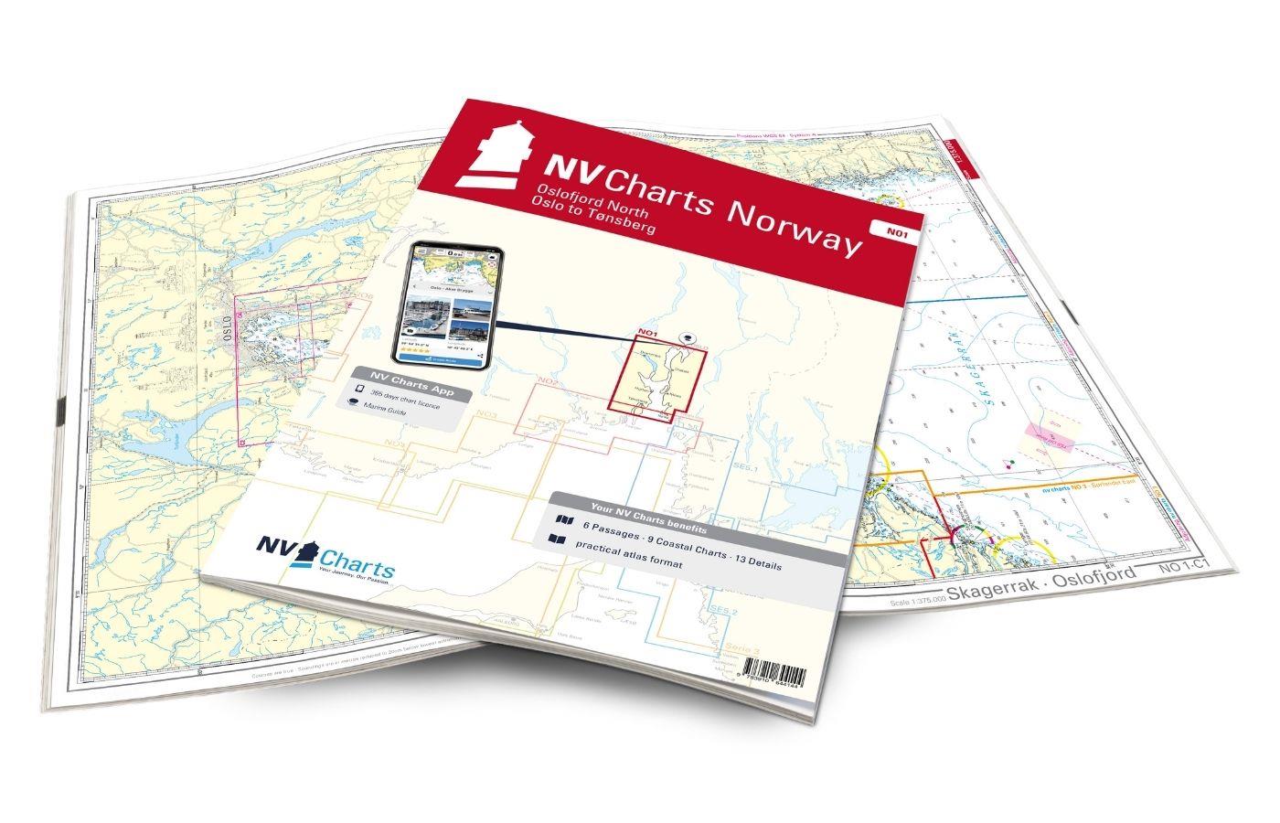
NV Charts Norway NO1 - Oslofjord Nord, Oslo to Tønsberg
The NV Charts Norway Atlas NO1 covers the region around Oslo. NV Charts charts for the Norwegian coast are based on data from the Norwegian Hydrographic Office and also include the harbour plans of th

€74.99*
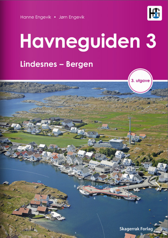
Havneguiden 3 Lindesnes - Bergen
When the rugged and beautiful southwest coast of Norway calls, be sure to take Havneguide 3 with you as it guides you from Lindesnes to Bergen.The most comprehensive Norwegian cruising guide has over

€74.90*
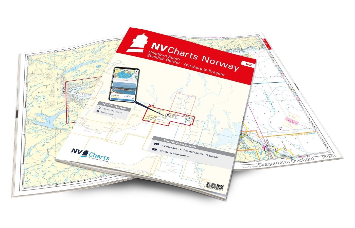
NV Charts Norway NO2 - Oslofjord Sør, Svenska Grensen til Kragerø
The NV Charts Atlas NO2 covers the southern Oslofjord. NV Charts for the Norwegian coast are based on data from the Norwegian Hydrographic Office and also include the harbour plans of the "Norske Los"

€74.99*
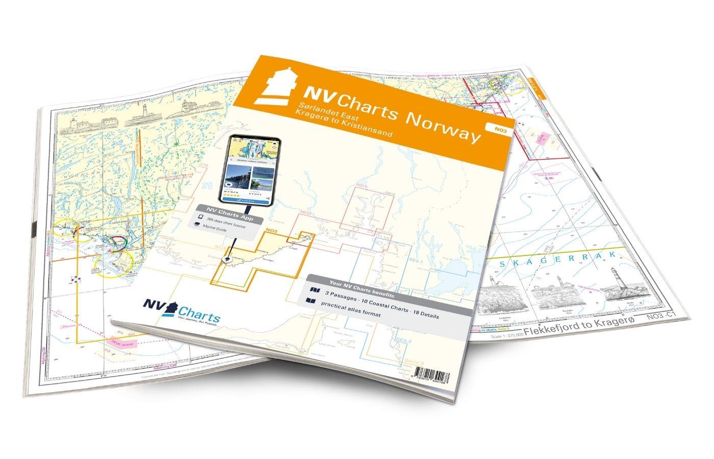
NV Charts Norway NO3 - Sørlandet East - Kragerø to Kristiansand
The NV Charts Norway Atlas NO3 covers the southern coast of Norway up to Kristiansand. NV charts for the Norwegian coast are based on data from the Norwegian Hydrographic Office and also include the h

€74.99*
-33 %
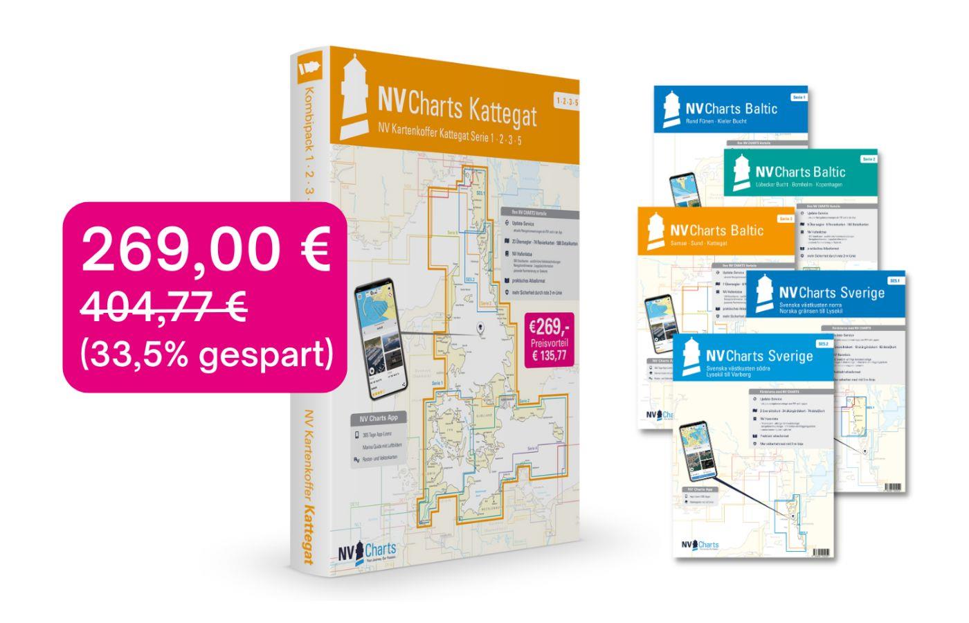
NV Charts Box North Germany to Norwegian border Region 1, 2, 3, 5.1, 5.2
Those looking to save while still being optimally equipped to travel from Kiel Bay to the Norwegian border will be very well served by the NV Atlas Kattegat Case . The Kattegat Case includes the Serie

€269.00* €404.77* (33.54% saved)

Reviews

0 of 0 reviews

Leave a review!

Share your experiences with other customers.