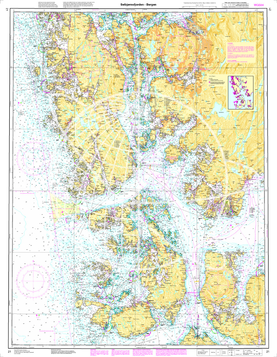
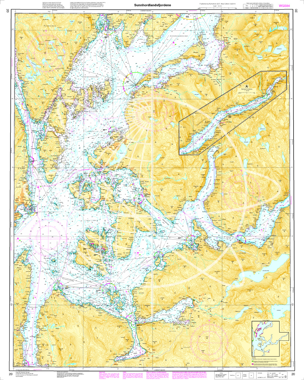
Norwegen N 21 Südwestküste Bergens Fjordwelt Selbjørnsfjorden – Bergen

Chart ID: NOR 21
Scale: 1:50.000

€27.70*


Product number: 20522

Description

The map N 21 covers the coastal landscape of the southwest coast of Bergen with the Selbjørnsfjorden and the offshore islands. The detailed scale is 1:50000. As an additional map set we recommend N 22 (Samnangerfjord Bjørnafjord and Ytre Hardangerfjord) which depicts the fjord world south of Norway. We print these maps on customer request from current data sets of the Norwegian Bureau of Hydrography using the print-on-demand (POD) method.

POD maps are excluded from exchange.


The official Norwegian nautical charts are not only suitable for water sports enthusiasts and anglers for navigation but are also very popular with cruise tourists.


For more information on the official Norwegian nautical charts printed by HanseNautic using the print-on-demand (POD) process please click here

Region: Europa, Atlantik, Norwegen
Size: Einzelkarte Papier
Area preview

With the help of our area preview, you can get an impression of which geographical region the product deals with or which areas a nautical chart covers.

Recommended by NV Charts

Recommended by NV Charts

Gebietsvorschau für Havneguiden 3 Lindesnes - Bergen öffnen
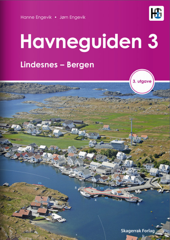
Havneguiden 3 Lindesnes - Bergen
When the rugged and beautiful southwest coast of Norway calls, be sure to take Havneguide 3 with you as it guides you from Lindesnes to Bergen.The most comprehensive Norwegian cruising guide has over

€74.90*

Related products to this item

Related products to this item

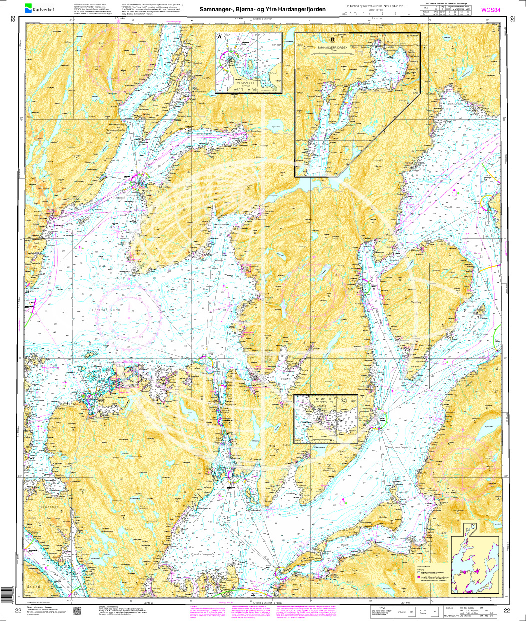
Gebietsvorschau für Norwegen N 22 Südwestküste Bergens Fjordwelt Samnangerfjord, Bjørnafjord und äußerer Hardangerfjord öffnen
Norwegen N 22 Südwestküste Bergens Fjordwelt Samnangerfjord, Bjørnafjord und äußerer Hardangerfjord
The Map N 22 takes us to the fjord world south of Bergen with Samnangerfjord Bjørnafjord and outerHardangerfjord. The detailed scale is 1:50.000.  As a further recommendation to th

€27.70*
Gebietsvorschau für Norwegen N 19 Südwestküste von Osterfjorden und Sørfjorden öffnen
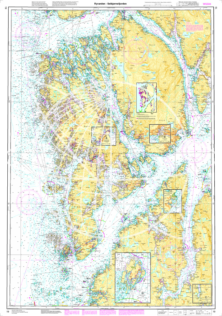
Norwegen N 19 Südwestküste von Osterfjorden und Sørfjorden
The Map N 19 depicts the fjord world above Haugesund and below Bergen with Osterfjorden and Sørfjorden. The detailed scale is 1:50000. As an additional map set we recommend N 20&n

€27.70*
Gebietsvorschau für Norwegen N 10 Südnorwegen Ny-Hellesund bis Lindesnes öffnen
Norwegen N 10 Südnorwegen Ny-Hellesund bis Lindesnes
The Map N 10 covers the south coast of Norway from the island of Ny-Hellesund to the southernmost point of the Norwegian mainland the Lindesnes lighthouse. The detailed scale is 1:

€27.70*
Gebietsvorschau für Norwegen N 117 Südwestküste Bergens Fjordwelt äußere Hardangerfjord öffnen
Norwegen N 117 Südwestküste Bergens Fjordwelt äußere Hardangerfjord
The Map N 117 guides you as you enter the Hardangerfjord. Sildafjord Hissfjord and Samlafjorden are shown at a detailed scale of 1:50000. For the onward journey into the inner Hard

€27.70*
Gebietsvorschau für Norwegen N 305 - Skagerrak öffnen
Norwegen N 305 - Skagerrak
The Sea Chart N 305 covers the Skagerrak between the Norwegian south coast Skagen and the Swedish west coast. In addition the Oslofjord up to Oslo is shown at the same scale as a supplement. Sea chart

€27.70*
Gebietsvorschau für Norwegen N 20 Südwestküste Sunnhordland Fjord öffnen
Norwegen N 20 Südwestküste Sunnhordland Fjord
The Map N 20 is needed to dive into the glacier world of Norway  in the region Sunnhordland with the Sunnhordlandfjord . The detailed scale is 1:50000. We print the

€27.70*

Reviews

0 of 0 reviews

Leave a review!

Share your experiences with other customers.


Gebietsvorschau für NV Charts Norway NO4 - Sørlandet Vest - Flekkefjord til Kristiansand öffnen
NV Charts Norway NO4 - Sørlandet Vest - Flekkefjord til Kristiansand
If you want to travel from North Jutland directly to the south-west coast of Norway, you should take the NV Charts Norway NO4 on board. The NV Charts for the Norwegian coast are based o

€74.99*
Gebietsvorschau für NV Charts Norway NO2 - Oslofjord Sør, Svenska Grensen til Kragerø öffnen
NV Charts Norway NO2 - Oslofjord Sør, Svenska Grensen til Kragerø
The NV Charts Atlas NO2 covers the southern Oslofjord. NV Charts for the Norwegian coast are based on data from the Norwegian Hydrographic Office and also include the harbour plans of the "Norske Los"

€74.99*
Gebietsvorschau für NV Charts Norway NO5 - Sørvestlandet Sør - Flekkefjord til Stavanger öffnen
NV Charts Norway NO5 - Sørvestlandet Sør - Flekkefjord til Stavanger
Your companion for the southwest coast of Norway: The NV Charts Norway NO5 . NV Charts for the Norwegian coast are based on data from the Norwegian Hydrographic Office and also include the h

€74.99*
Gebietsvorschau für NV Charts Norway NO1 - Oslofjord Nord, Oslo to Tønsberg öffnen
NV Charts Norway NO1 - Oslofjord Nord, Oslo to Tønsberg
The NV Charts Norway Atlas NO1 covers the region around Oslo. NV Charts charts for the Norwegian coast are based on data from the Norwegian Hydrographic Office and also include the harbour plans of th

€74.99*
Gebietsvorschau für NV Charts Norway NO3 - Sørlandet East - Kragerø to Kristiansand öffnen
NV Charts Norway NO3 - Sørlandet East - Kragerø to Kristiansand
The NV Charts Norway Atlas NO3 covers the southern coast of Norway up to Kristiansand. NV charts for the Norwegian coast are based on data from the Norwegian Hydrographic Office and also include the h

€74.99*
Gebietsvorschau für NV Charts Norway NO6 - Sørvestlandet Nord - Stavanger til Haugesund öffnen
NV Charts Norway NO6 - Sørvestlandet Nord - Stavanger til Haugesund
Would you like to travel to the fairytale fjords on the south-west coast of Norway? The NV Charts Norway NO6 Atlas is your reliable partner. NV Charts for the Norwegian coast are based

€74.99*