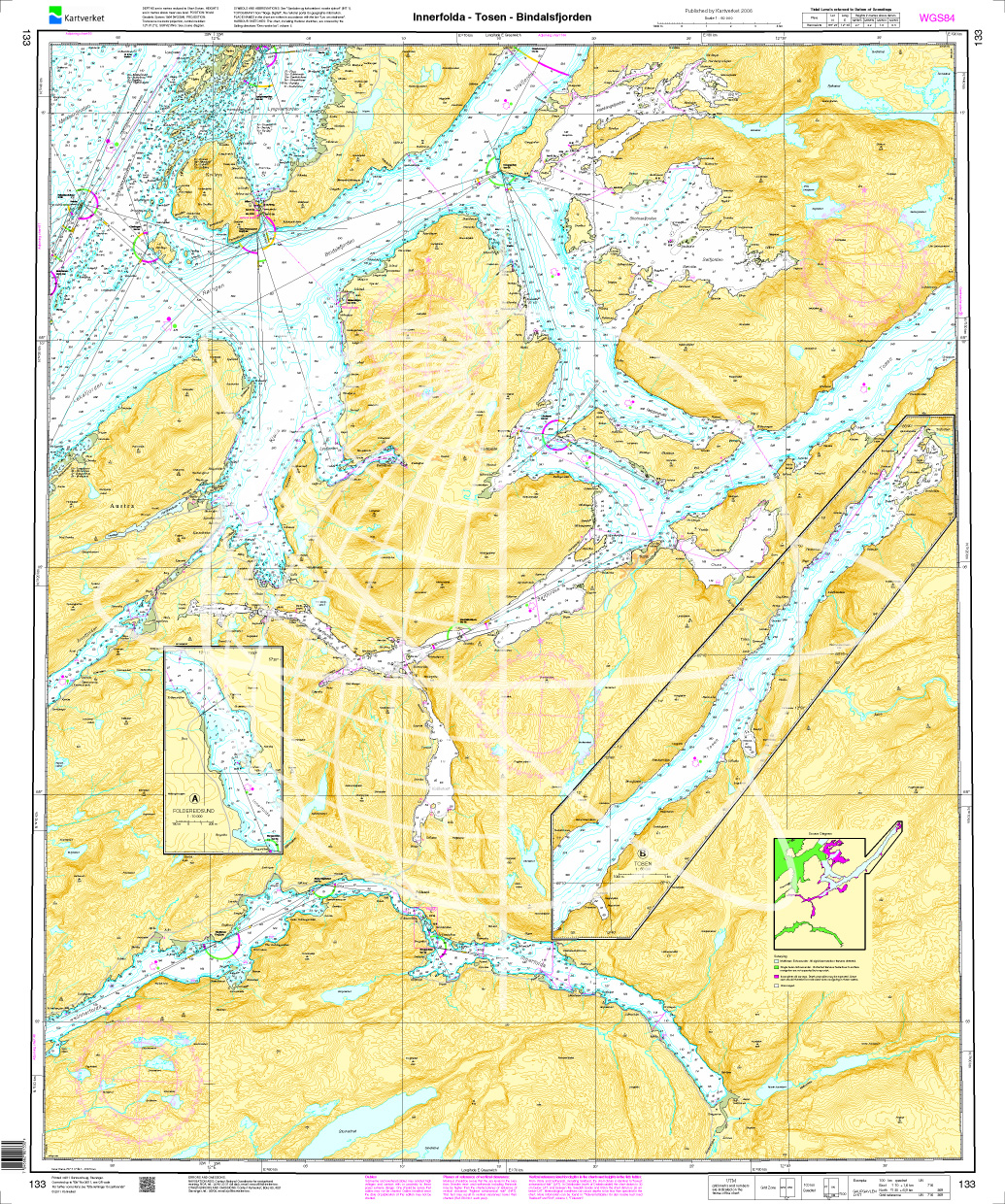
Norwegen N 133 Atlantik Innerfolda - Tosen - Bindalsfjorden

Chart ID: NOR 133
Scale: 1:50.000

€27.70*


Product number: 20634

Description

The Map N 133 shows the waterways from the inner Foldafjord via Tosen to  Bindalsfjord.

The detailed scale is 1:50000. As an additional map we recommend N 131 (Trondheimsfjorden. Levanger - Steinkjer).

< We print the maps on customer request from the current data sets of the Norwegian Bureau of Hydrography using the print-on-demand (POD) method.


POD maps are excluded from exchange.


The official Norwegian nautical charts are not only suitable for water sports enthusiasts and anglers for navigation but are also very popular with cruise tourists.

For more information on the official Norwegian nautical charts printed by HanseNautic using the print-on-demand (POD) process please click here


Region: Europa, Atlantik, Norwegen
Size: Einzelkarte Papier
Area preview

With the help of our area preview, you can get an impression of which geographical region the product deals with or which areas a nautical chart covers.

Related products to this item

Related products to this item

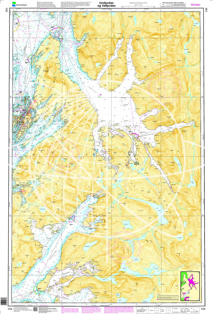
Norwegen N 134 Atlantik Ursfjorden und Velfjorden
The map N 134 shows the waterways from Ursfjord and Velfjord. The detailed scale is 1:50000. As an additional map we recommend N 53 (Lyngvær - Strømøyan).

€27.70*

Products near this article

Products near this article

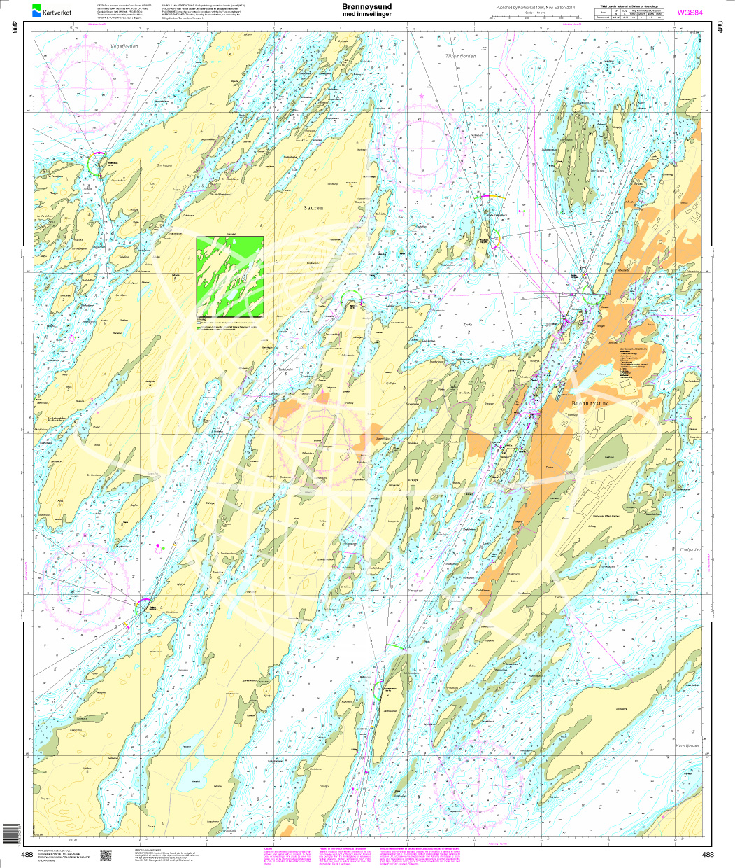
Norwegen N 488 Atlantik Brønnøysund med innseilinger
The map N 488 shows the waterways from Brønnøysund med innseilinger. The detailed scale is 1:10000. As an additional map we recommend N 134 (Ursfjorden og Velfjorden). We print

€27.70*
Norwegen N 134 Atlantik Ursfjorden und Velfjorden
The map N 134 shows the waterways from Ursfjord and Velfjord. The detailed scale is 1:50000. As an additional map we recommend N 53 (Lyngvær - Strømøyan).

€27.70*
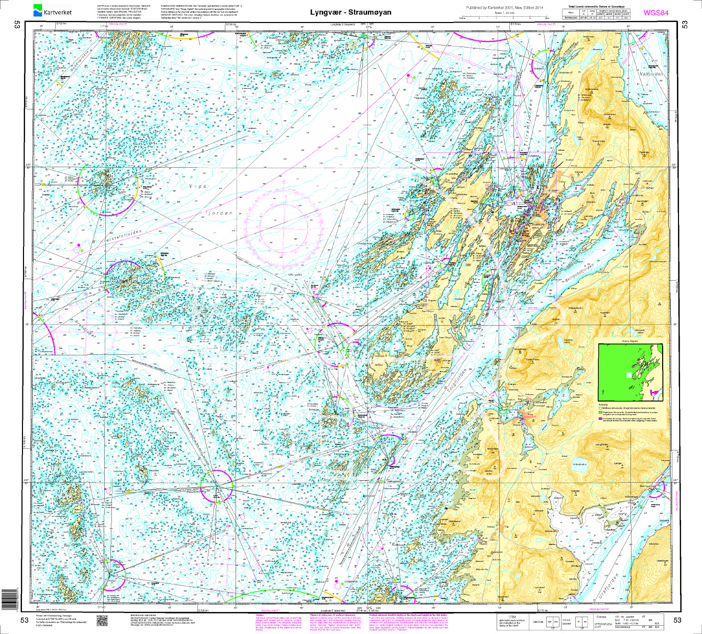
Norwegen N 53 Atlantik von Lyngvær nach Strømøyan
The Map N 53 shows the waterways from Lyngvær to Strømøyan.The detailed scale is 1:50000. As an additional map we recommend N 52 (Hoegbrakan).We print the maps on customer request&

€27.70*
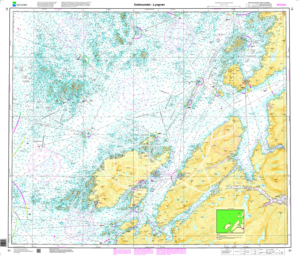
Norwegen N 51 Atlantik von Dolmsundet bis Lyngvær
The Map N 51 shows the waterways from Dolmsundet to Lyngvær.The detailed scale is 1:50000. As an additional map we recommend N 134 (Ursfjorden og Velfjorden). We print the maps&nbs

€27.70*
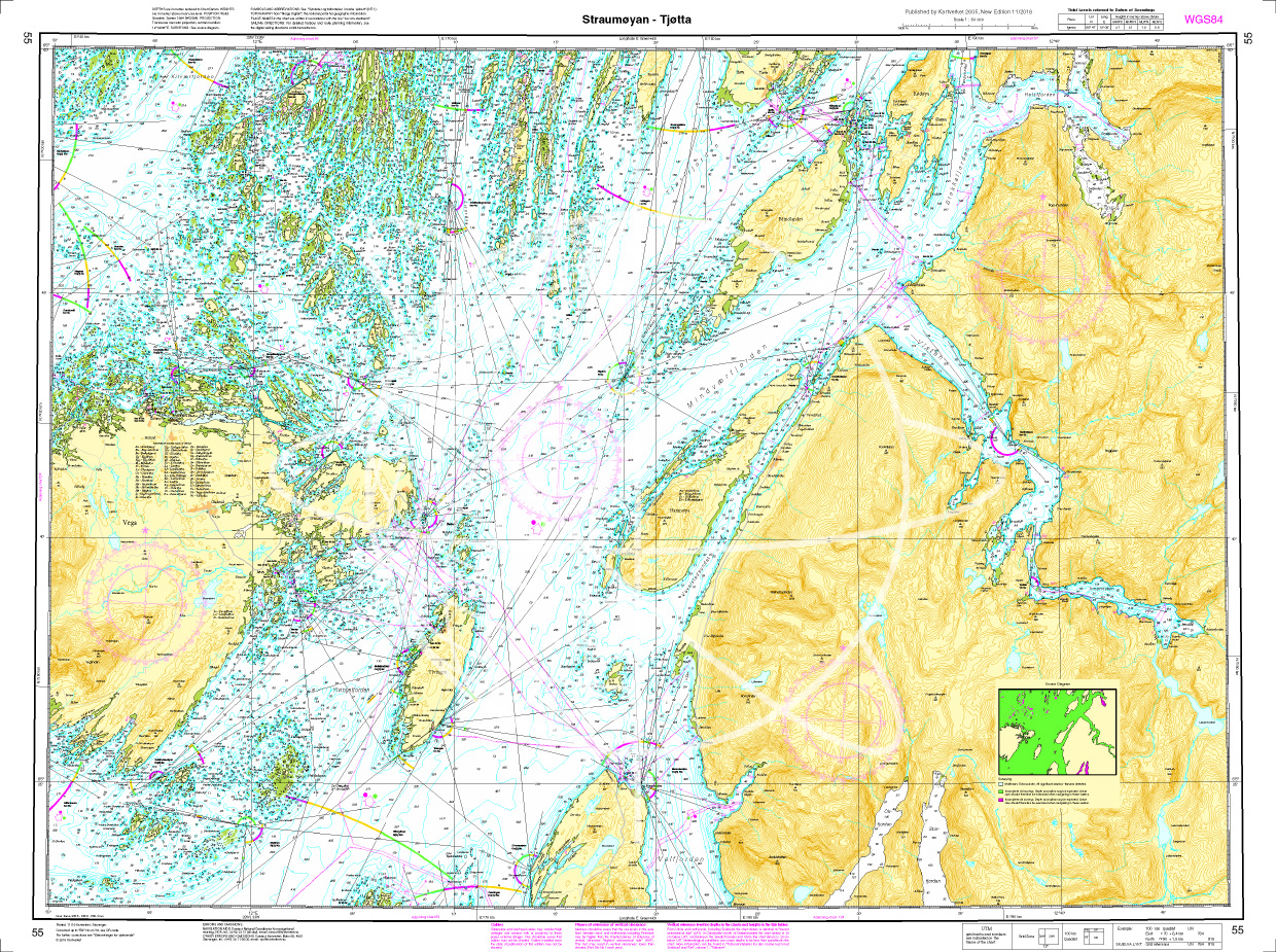
Norwegen N 55 Atlantik Stroemøoeyan - Tjoetta
The Map N 50 shows the waterways of Stroemøoeyan - Tjoetta. The detailed scale is 1:50000. As an additional map we recommend N 57 (Vefsen og Leirfjorden). We print the maps

€27.70*
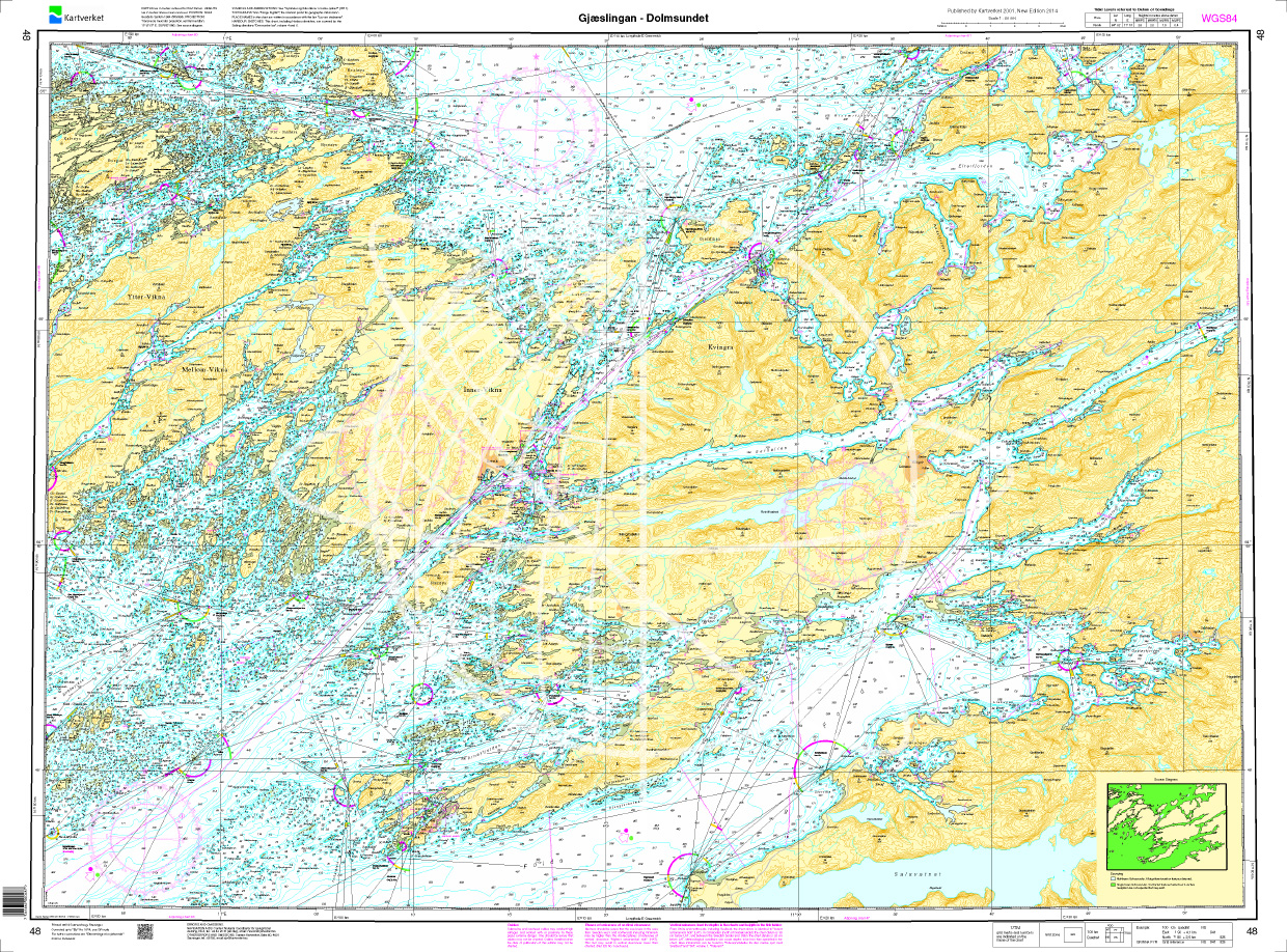
Norwegen N 48 Atlantik von Gjæslingan bis Dolmsundet
The Map N 48 shows the waterways around the archipelago around Gjæslingan with about 80 small islands and skerries. The detailed scale is 1:50.000. As additional maps we recommend

€27.70*
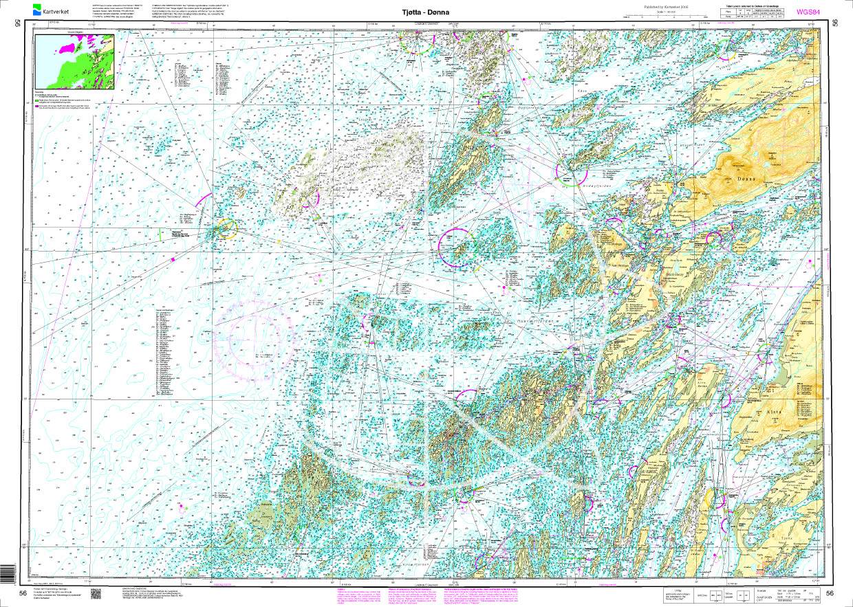
Norwegen N 56 Atlantik von Tjøtta bis Dønna
The Sea Chart N 56 covers the coast and offshore islands on the northern Norwegian coast from Tjøtta to Dønna. Detailed nautical chart at a scale of 1:50000. As an additional chart we recommend N 

€27.70*
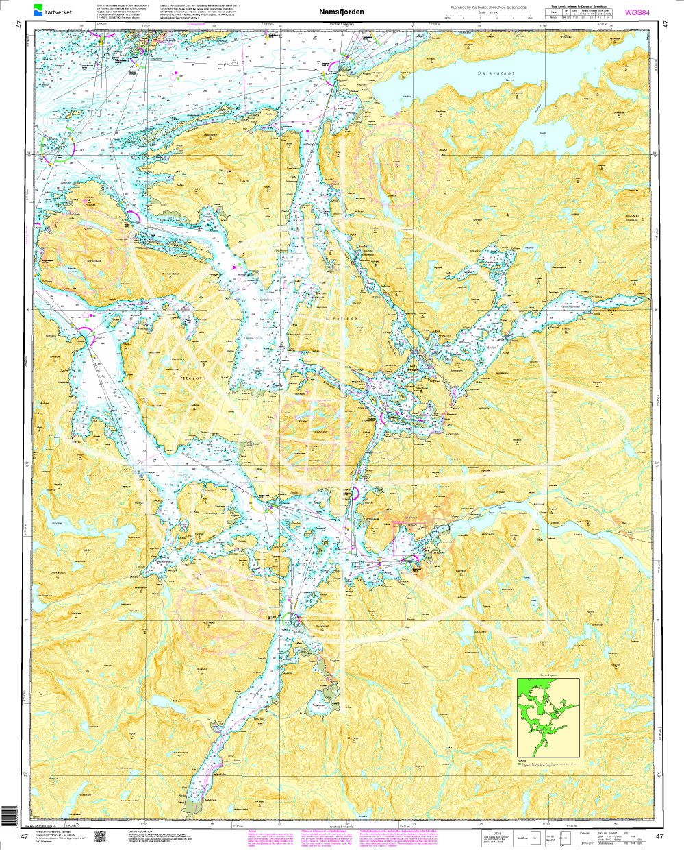
Norwegen N 47 Atlantik vom Namsfjord
The Map N 47 shows the waterways around the Namsjford. The detailed scale is 1:50000. As an additional map we recommend N 48 (Gjæslingan - Dolmsundet). We print the maps on

€27.70*
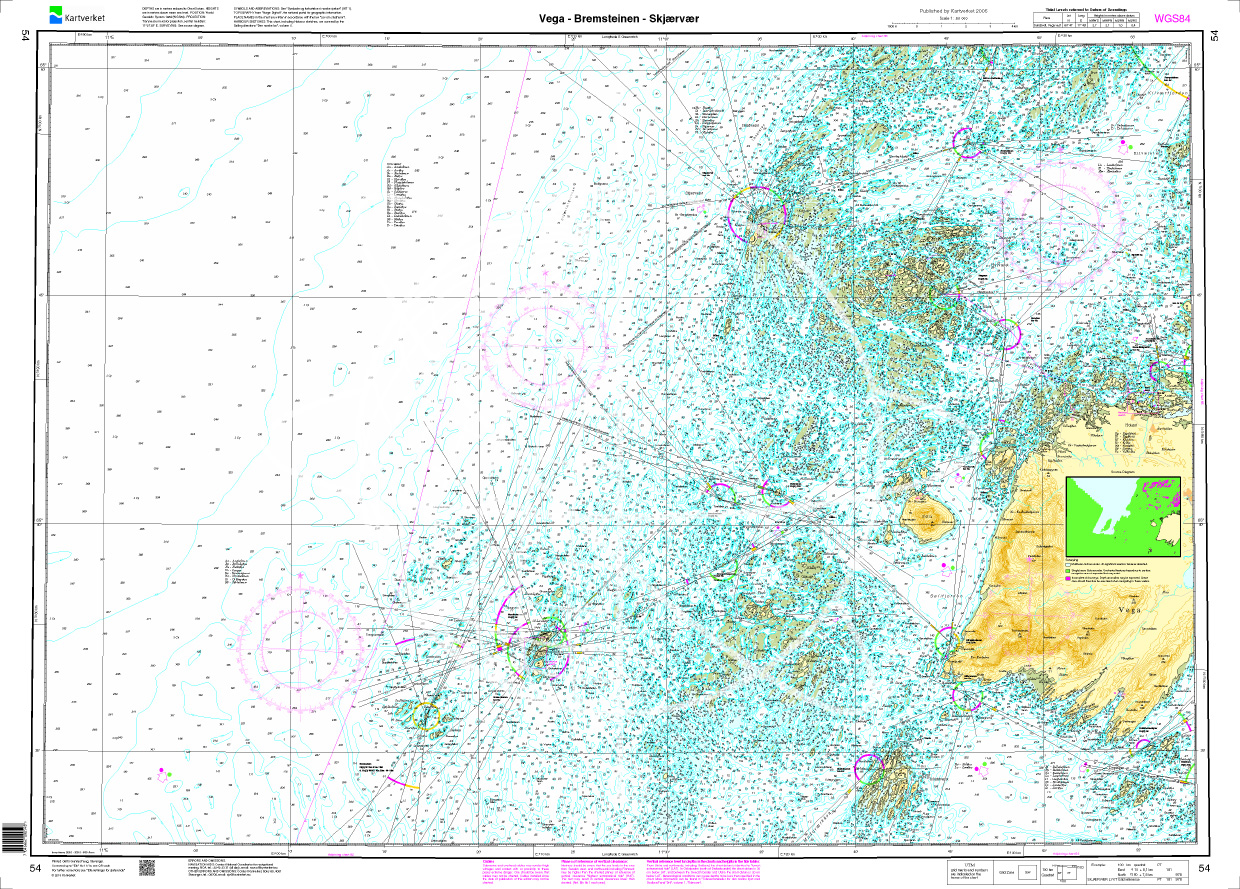
Norwegen N 54 Atlantik Vega - Bremsteinen - Skjaervaer
The Map N 54 shows the waterways from the Vega Archipelago. The detailed scale is 1:50.000. As additional maps we recommend N 55 (Stroemøoeyan - Tjoetta). We print the maps&nbs

€27.70*
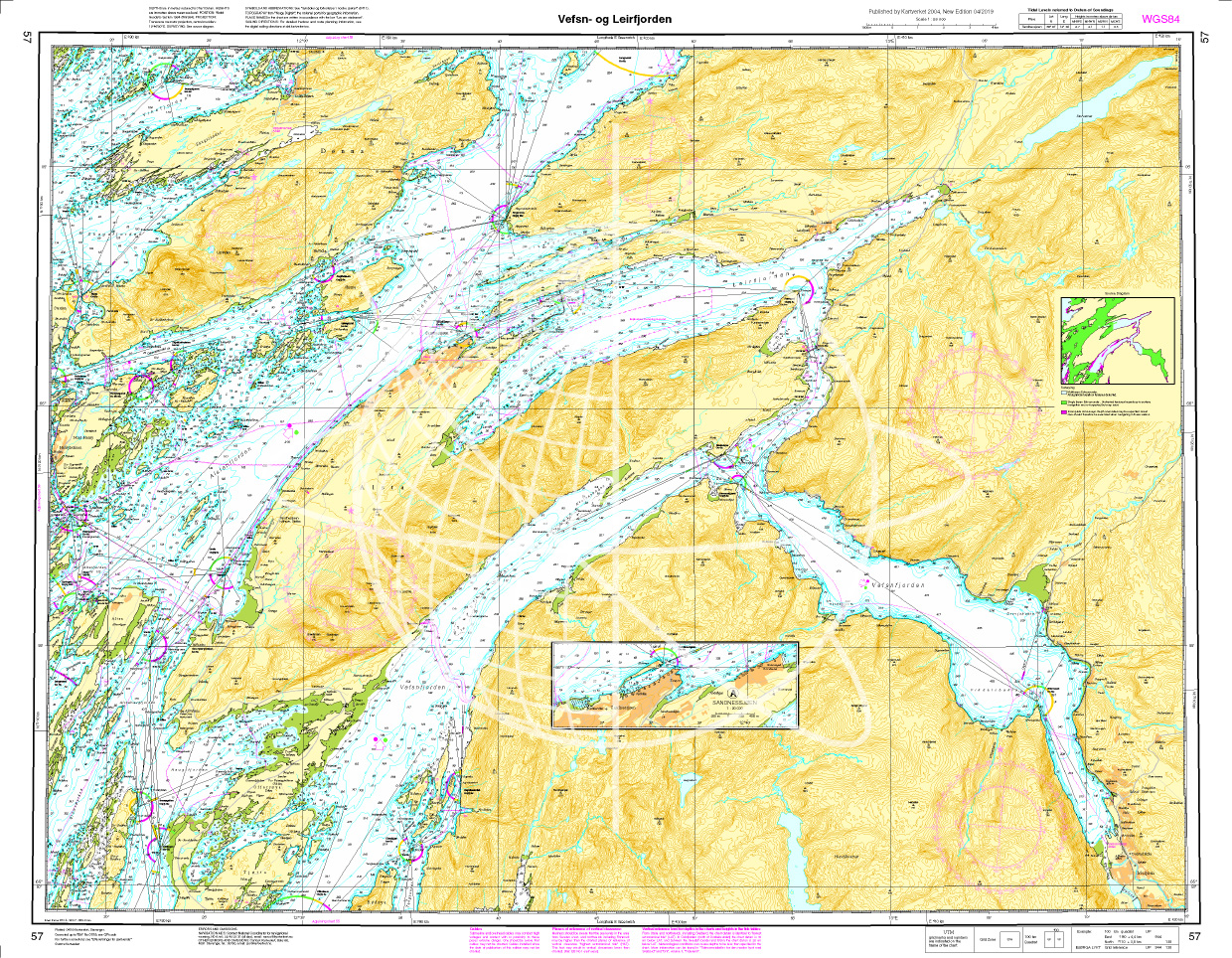
Norwegen N 57 Atlantik Vefsen und Leirfjorden
The Card N 57 covers the northern Norwegian coast from Vefsen and  Leirfjord. The detailed scale is 1:50000. As an additional map we recommend N 56 (Tjøtta - Dønna) We

€27.70*
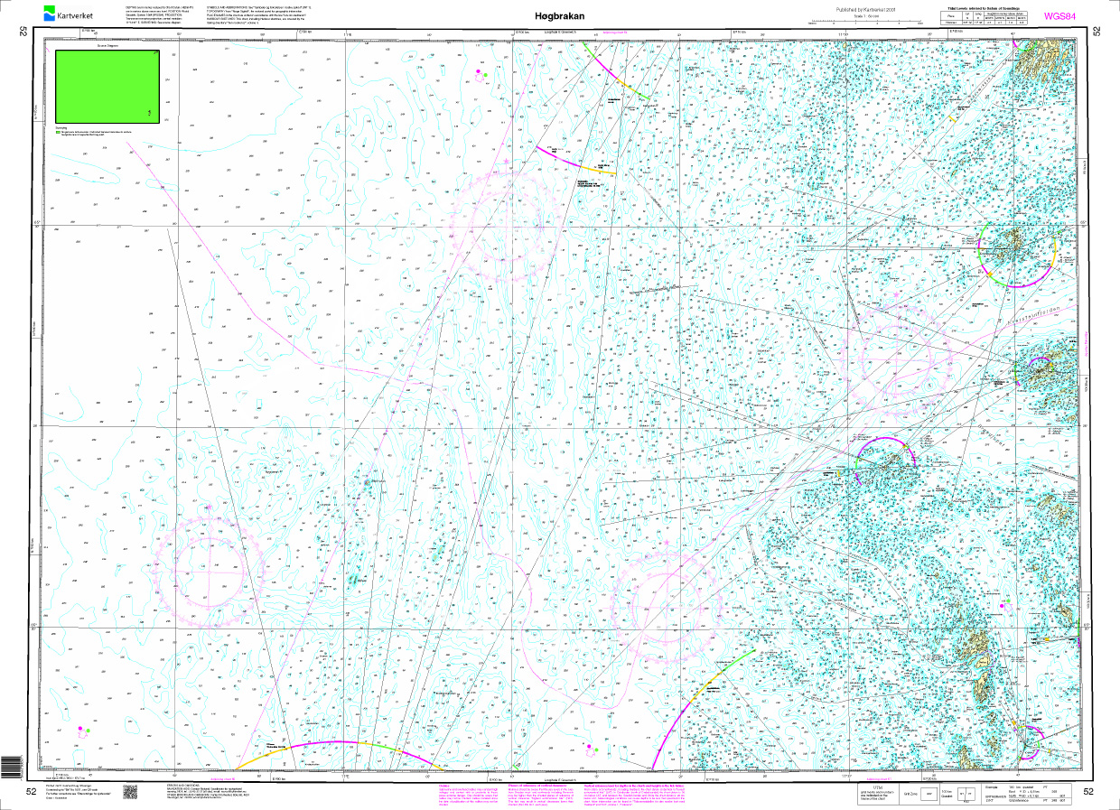
Norwegen N 52 Atlantik Hoegbrakan
The map N 52 shows the waterways of Hoegbrakan. The detailed scale is 1:50000. As an additional map we recommend N 53 (Lyngvær - Strømøyan).

€27.70*

Reviews

0 of 0 reviews

Leave a review!

Share your experiences with other customers.