N 479 POD

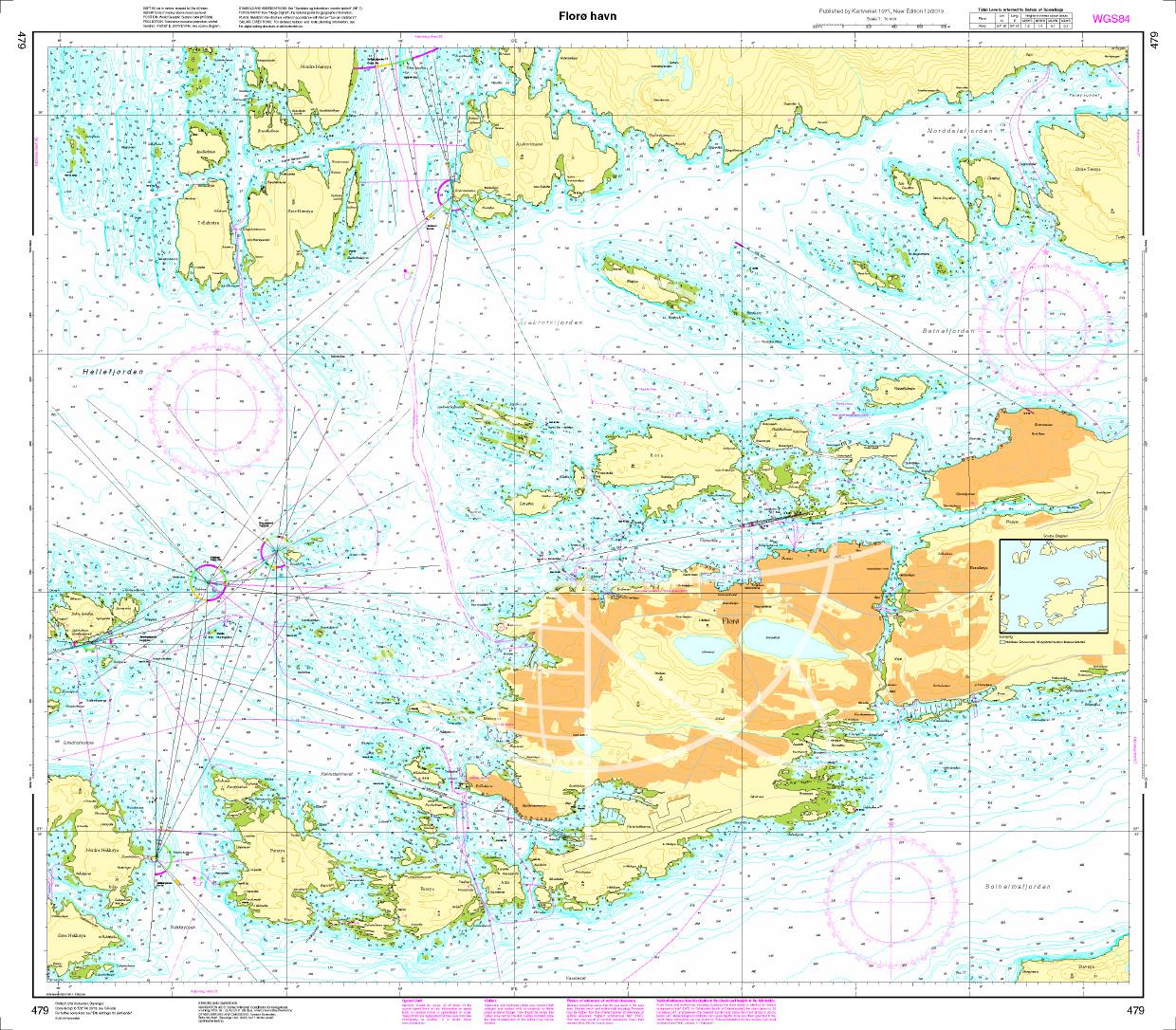
Chart ID: NOR 479
Scale: 1:10.000

€27.70*


Product number: 20692

Description

Floroe havn. - POD cards are excluded from exchange.
Motiv: Seekarte
Region: Atlantik, Norwegen
Area preview

With the help of our area preview, you can get an impression of which geographical region the product deals with or which areas a nautical chart covers.

Products near this article

Products near this article

Norwegen N 28 Atlantik Bremanger
The Map N 28 shows Bremanger situated at  Frøysjøen on the south side of the mouth of Nordfjord. The detailed scale is 1:50000. As an additional map we recommend N 123 (Nordfjord)

€27.70*
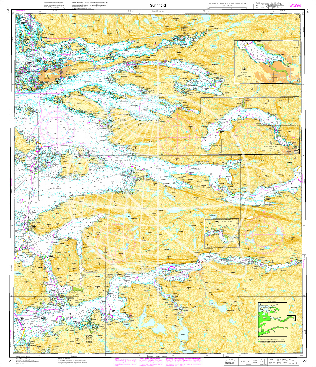
Norwegen N 27 Westküste Atlantik Sunnfjord
The Map N 27 depicts Sunnfjord and the surrounding area. Sunnfjord is also called the home of waterfalls. At Sunnfjord southwest Norway ends. The detailed scale is 1:50.000. We print t

€27.70*
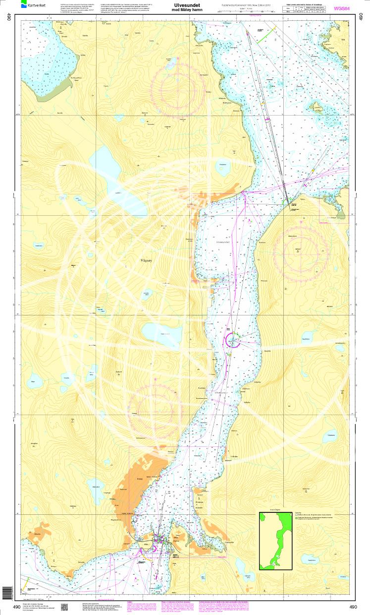
N 490 POD
Ulvesundet med Måløy hamn. - POD cards are excluded from exchange.

€27.70*
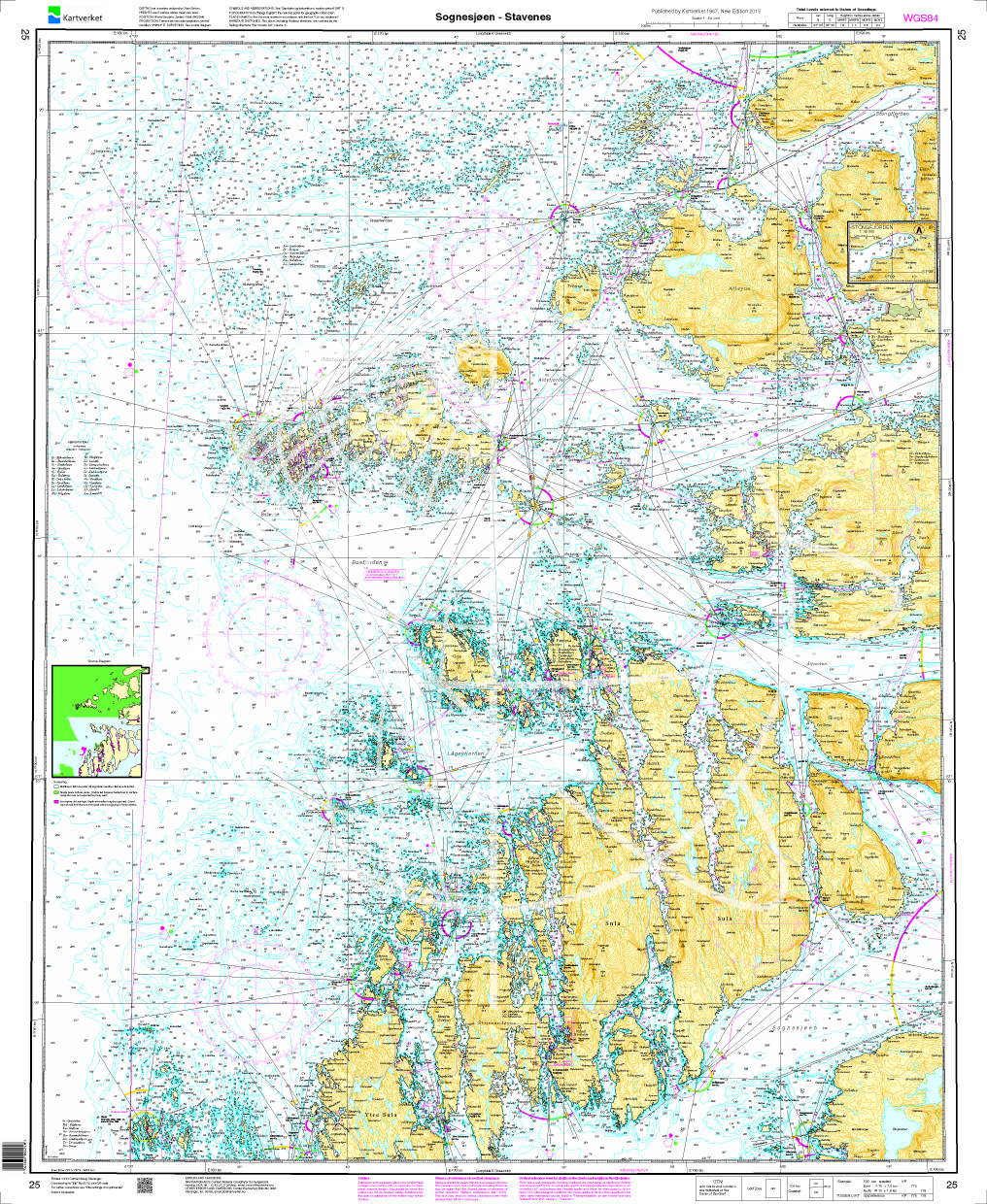
Norwegen N 25 Südwestküste von Sognesjøen bis Stavenes
The Map N 25 depicts the strait Sognesjøen which is ultimately the outermost part of the mighty Sognefjord and extends from there to Stavenes. All surrounding islands are listed. The d

€27.70*
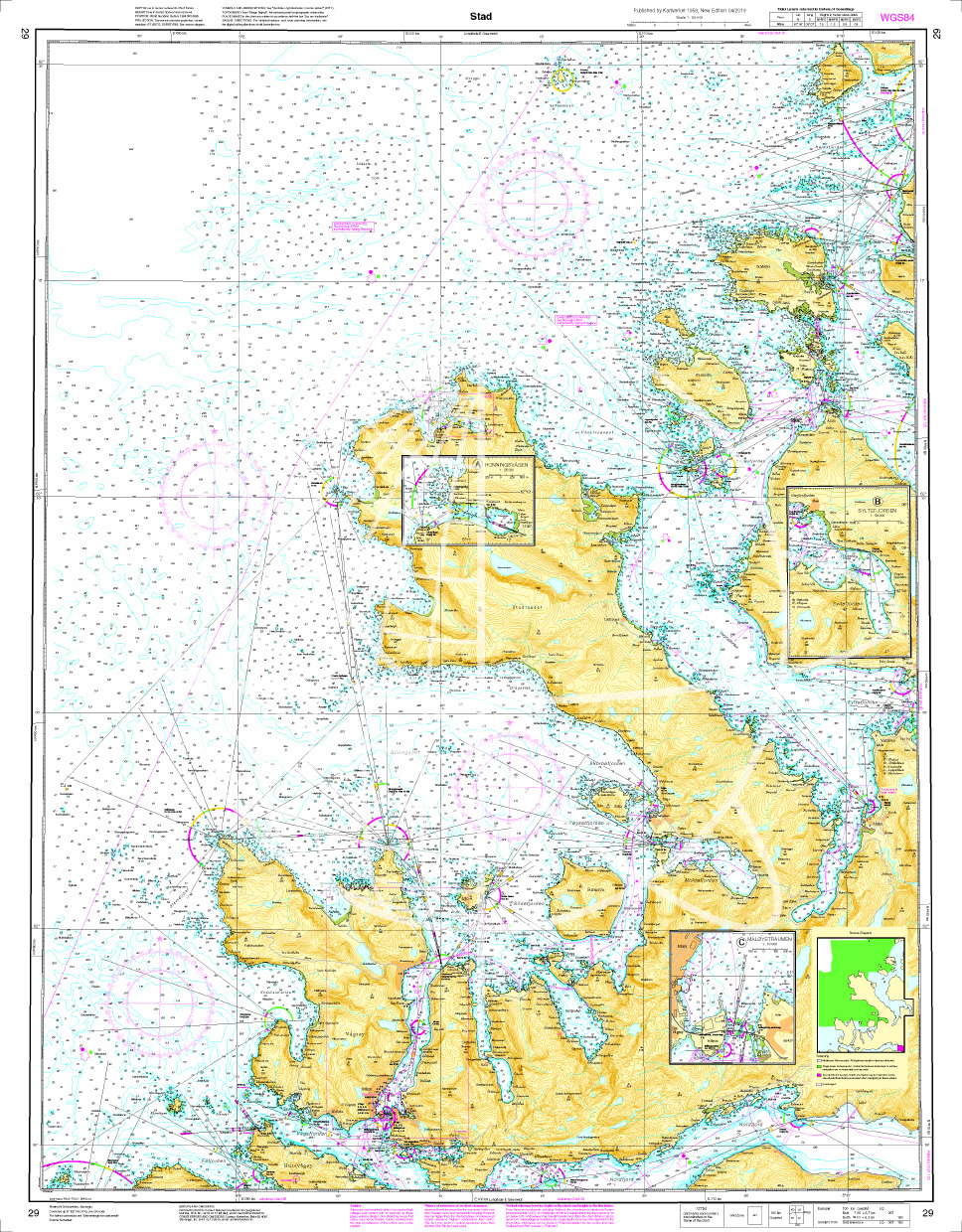
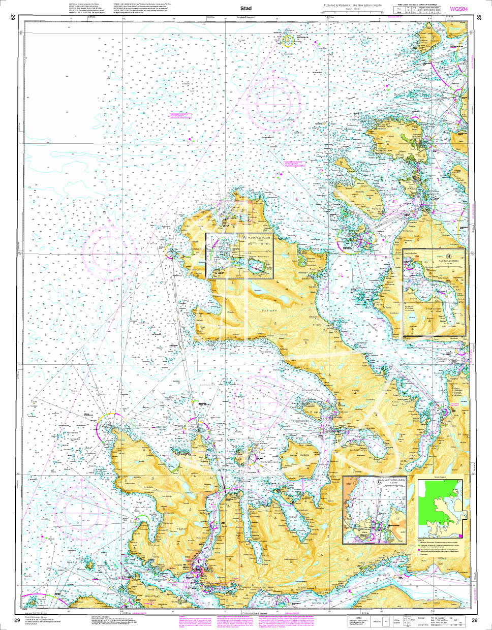
Norwegen N 29 Atlantik Stadlandet
The map N 29 goes from Husevågøy to Sandsøya including the peninsula Stad. The detailed scale is 1:50.000. As additional maps we recommend N 125 (Haugsholmen -Volda) and N

€27.70*
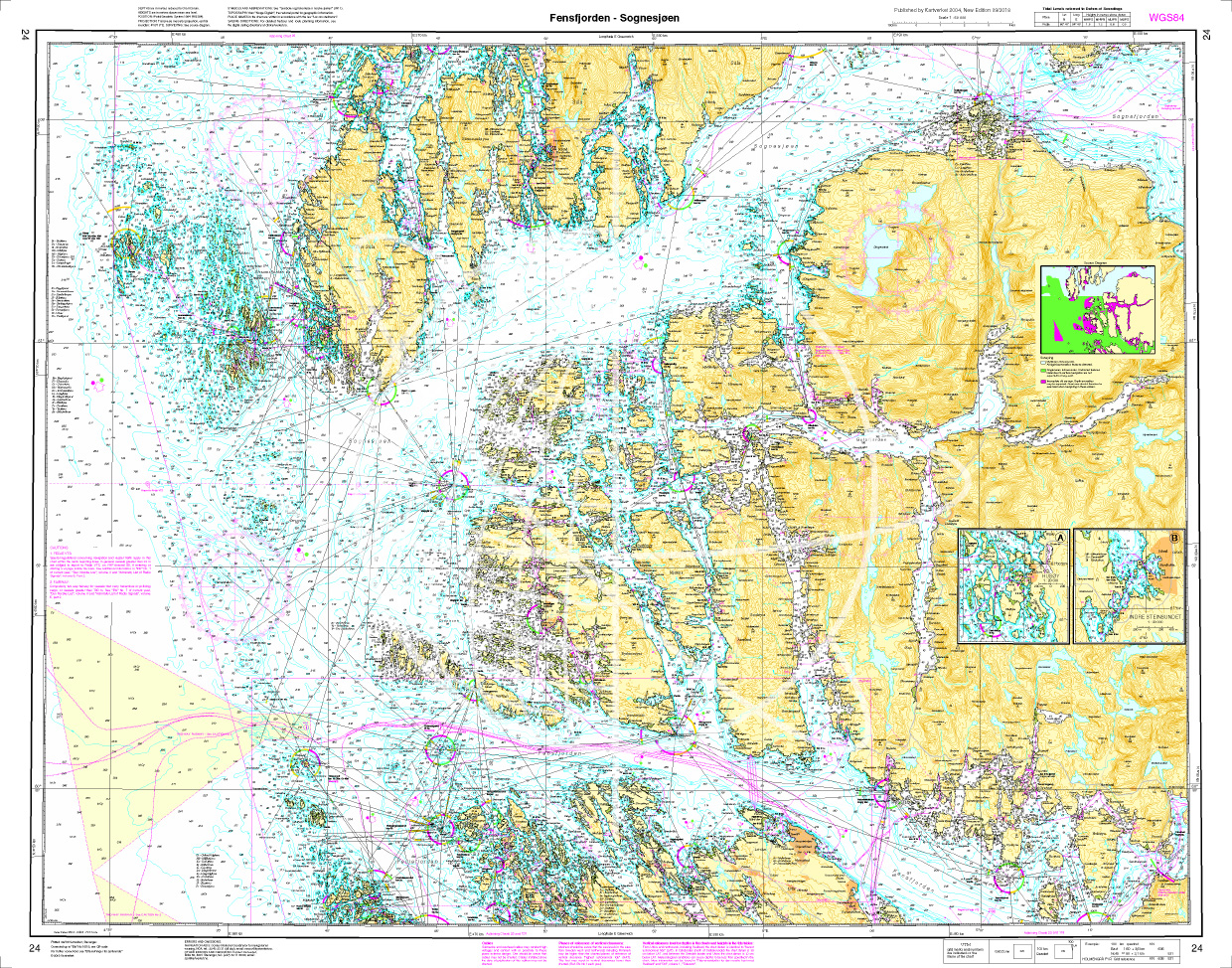
Norwegen N 24 Westküste mit Fensfjord und Meerenge Sognesjøen
Map N 24 covers the Fjensfjord northeast of Fedje and the strait Sognesjøen which leads directly into the Sognefjord. The detailed scale is 1:50000. As further map sets we recommend N 121 N124 and N 1

€27.70*
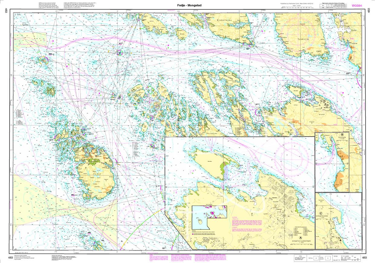
N 483 POD
Fedje - Mongstad. - POD cards are excluded from exchange.

€27.70*
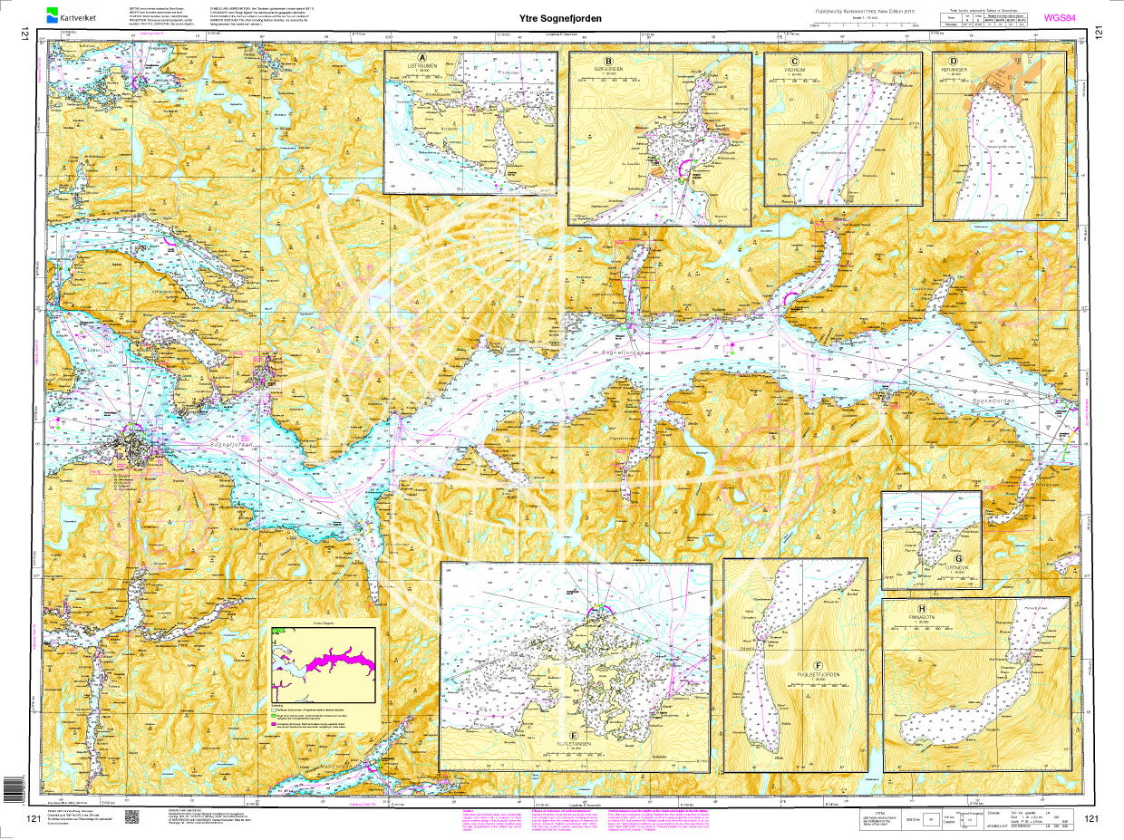
Norwegen N 121 Südwestküste Fjordwelt mit innerem Sognefjord
The Map N 121 presents the outer Sognefjord with all its ramifications in the Norwegian Fylke Vestland. The Sognefjord is the longest (205k) and deepest (1308m) fjord in Europe. &n

€27.70*
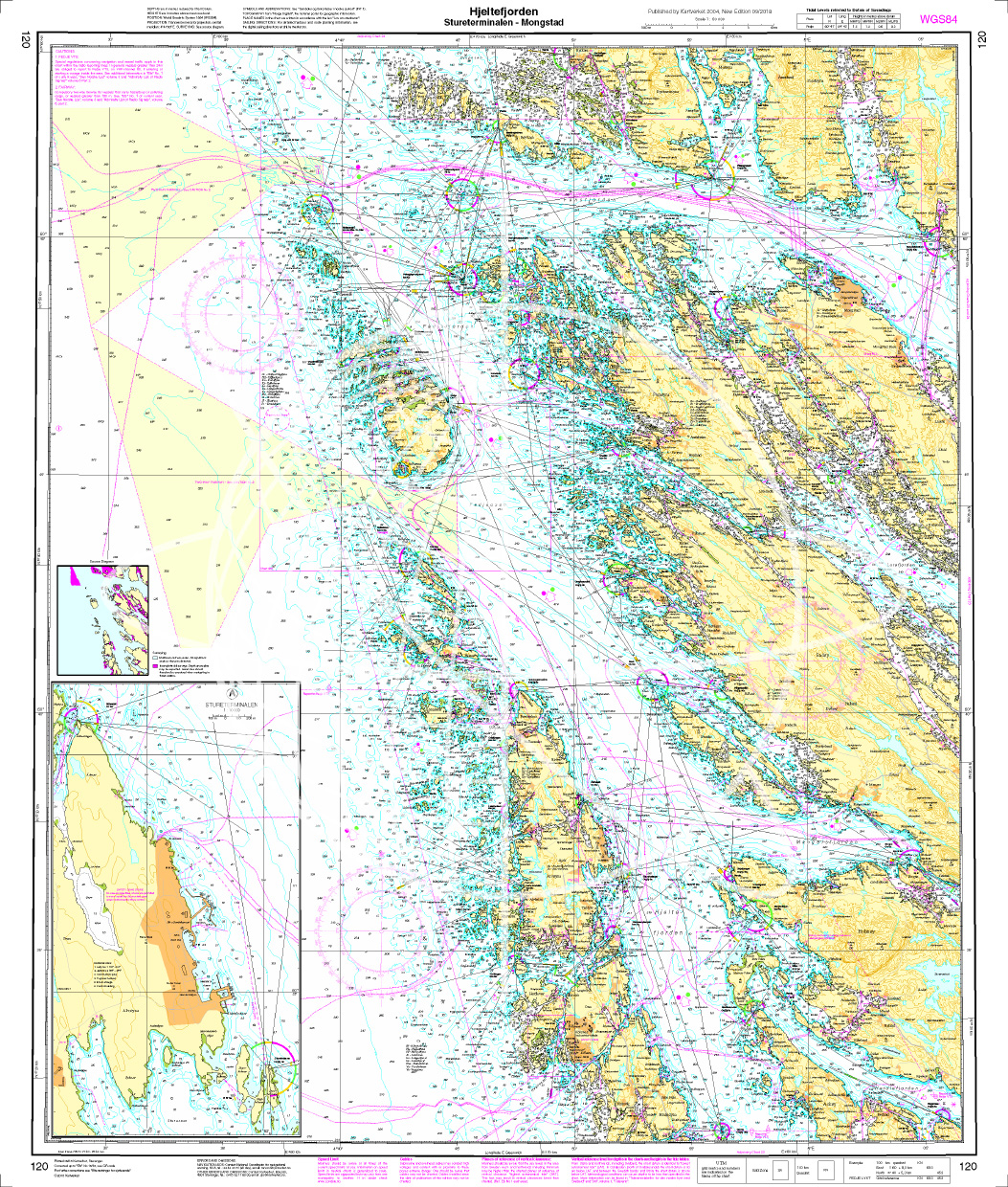
Norwegen N 120 Atlantik Hjeltefjorden - Stureterminalen - Mongstad
The Map N 120 covers the archipelago below Sognefjord and above Hardangerfjord. The detailed scale is 1:50.000. To this map set we recommend the snschließende N 24 (Fensfjorden

€27.70*
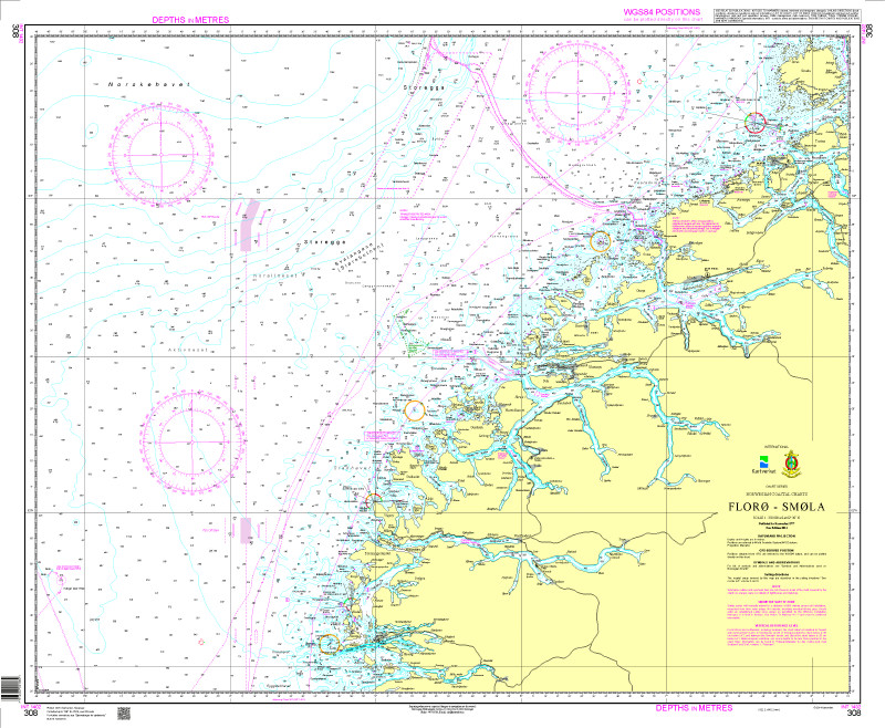
N 308 POD
Floroe - Smoela. - POD cards are excluded from exchange.

€27.70*
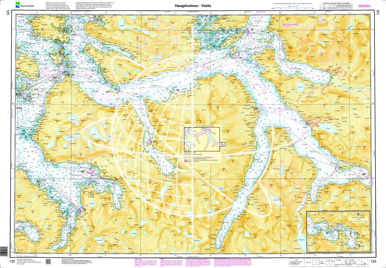
Norwegen N 125 Atlantik von Haugsholmen bis Volda
The Map N 125 shows the fjord landscape above Stad. The map is perfect for recovering from the dangerous cross lakes when circumnavigating Stadlandet.  The detailed scale is 1:

€27.70*

Reviews

0 of 0 reviews

Leave a review!

Share your experiences with other customers.