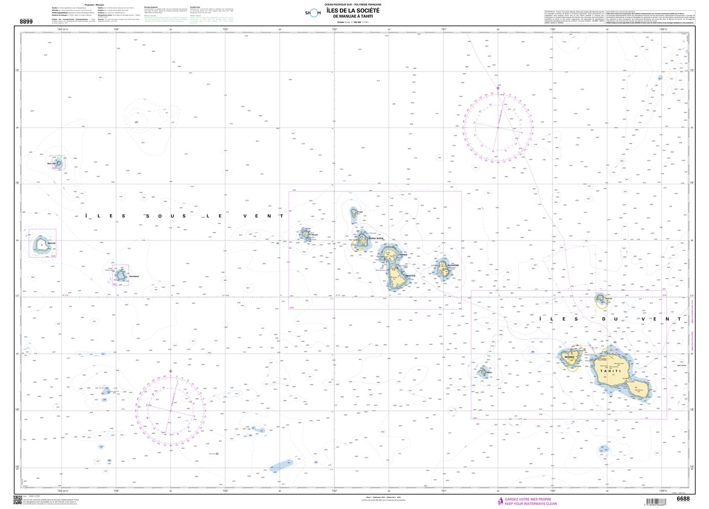
Shom 6688 - Îles de la Société - De Manuae à Tahiti
Description
The official French chart 6688 from the Shom is a nautical chart for the region Îles de la Société.
The chart contains
- Scale of 1:592000
- Stable and water-repellent paper
- Official French data
- WGS 84
Chart format
The French nautical charts are printed on customer’s request (print on demand service). This has the advantage that ongoing corrections are taken into account, so the latest version of the Chart is always available.
The charts provide an overview of a specific region. They are well suited for planning a trip. All charts are printed on stable, water-repellent paper. This chart has the following edition information:
Edition n° 4 - 2020 - Dernière correction : 1 - carte marine classique, non pliée, format A0, tirage 2022
Update
The Shom charts are published in new editions irregularly, so the date of correction may be several years ago. You can correct the charts manually with the nautical news.
The Shom
The Shom is a French agency belonging to the country's Ministry of Defence. It is the heir to the world's first official hydrographic service, which dates back to 1720. Shom's portfolio includes almost 900 paper charts. It has its headquarters in the city of Brest in Brittany.
Our recommendation
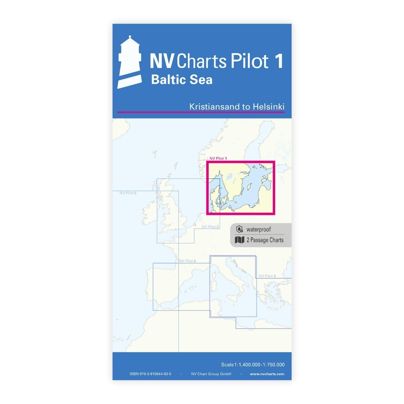
If you value more up-to-date charts and also digital versions, we recommend the atlases from NV Charts.
With the help of our area preview, you can get an impression of which geographical region the product deals with or which areas a nautical chart covers.
Related products to this item
Reviews
Login


