Description
The ports of Greece have never been described more clearly and practically.
Sailing holidays in Greece: on the way in the territory of the gods
Glittering sunbeams on azure blue water and a unique panorama of whitewashed houses ancient ruins and almost untouched bays - a holiday in Greece is worth it for this sight alone. For those travelling by sailboat Western Greece is also a dream destination for both quiet family holidays and adventurous skippers.
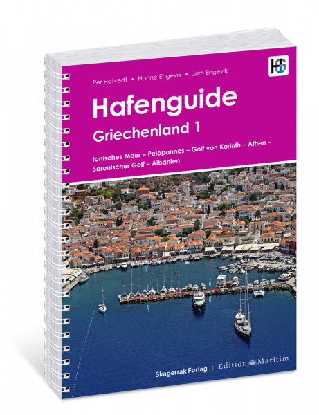
The "Harbour Guide Greece 1" contains everything you need for a relaxed sailing trip around the Greek west coast. Whether you are cruising in the Ionian Sea or sailing around the islands off Athens - with this practical companion you will quickly find the nearest boat mooring and receive important tips from the approach to shore leave.
- All the important ports in the most beautiful areas:
- Ionian Sea
- Peloponnese
- Gulf of Corinth
- Athens
- Saronic Gulf
- and Albania
- Clearly laid out for easy reference: each port on one A4 page with aerial photo port plan and description
- Practical info for sailors: Everything about mooring approach on-site service facilities and more
- Travel guide with cultural background information and tips on places of interest and excursion destinations
The port guide for your Greek holiday
Where to take a break when sailing in the Ionian Sea?
Which port in Athens is the easiest to sail to?
And what is there to discover around the marinas on the Greek islands?
With the harbour guide you are well equipped to answer all your questions.
With its handy A4 format and practical spiral binding the Harbour Guide will fit on any chart table and assist you in planning at home and on board with over 300 illustrations 11 maps and 237 detailed harbour plans. Cast off for an unforgettable sailing trip in the Mediterranean!
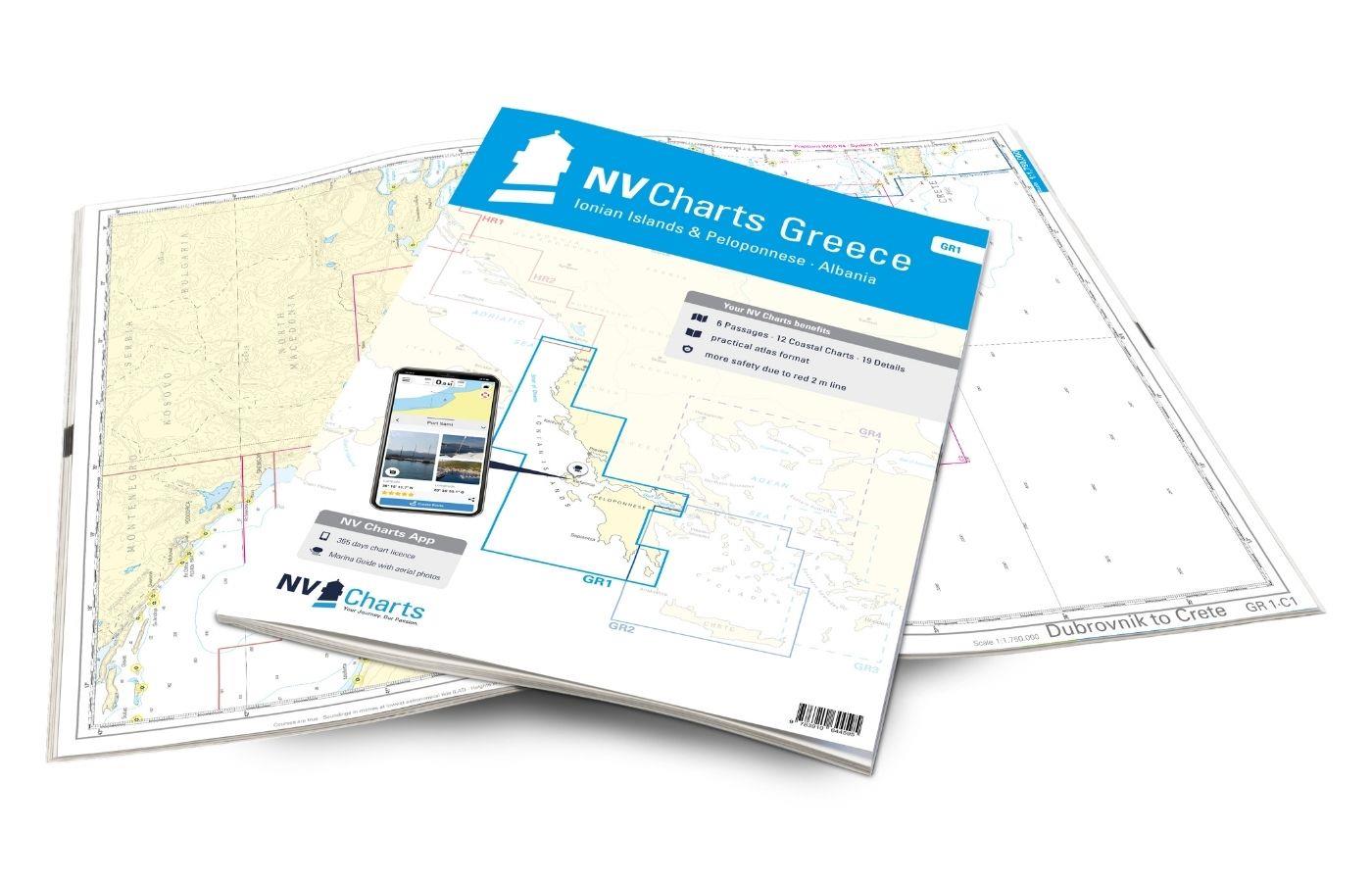
Supplementary to this Harbour Guide to Greece we recommend the chart set NV.Atlas GR 1 Greece - Ionian Islands & Peloponnese - Albania by NV Charts.
Product info:
Publisher: Edition Maritim
Authors: Per Hotvedt Hanne Engevik Jørn Engevik
Edition: 2nd. Edition 2020
ISBN: 978-3-667-11511-9
Format: Large format
Binding: Spiral Binding
Pages: 264
Photos: 304 photos and illustrations
| Language: | Deutsch |
|---|---|
| Region: | Europa, Mittelmeer Ost, Mittelmeer |
| Size: | Spiralbindung |
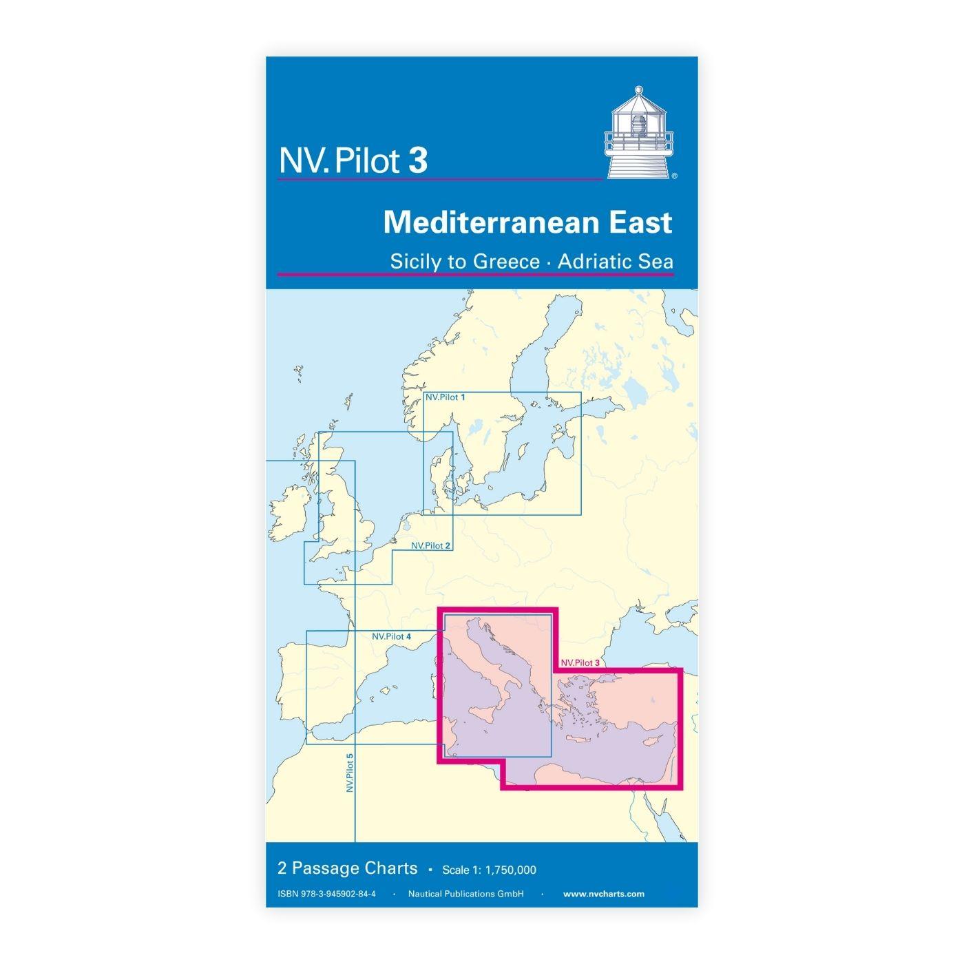
With the help of our area preview, you can get an impression of which geographical region the product deals with or which areas a nautical chart covers.
Related products to this item
Reviews
Login

