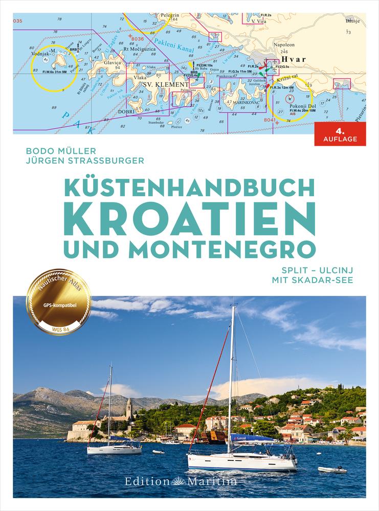
Küstenhandbuch Kroatien und Montenegro
Description
Croatia with its many hours of sunshine and fascinating landscape is a paradise for water sports enthusiasts.
Discover the coast of Croatia and Montenegro with tips from the experts
In order to navigate safely by sailboat or motorboat in view of the many bays and countless small and large islands the Coastal Handbook contains sound information on the following areas:
- Croatia: Mainland coast from Split to Dubrovnik as well as the islands of Brac Hvar Vis Korcula Pelješac and Mljet
- Montenegro: Mainland coast from Herceg-Novi to Ulcinj as well as Skadar Lake
- Completely updated new edition with 43 partly fold-out nautical chart sections and 230 port plans
- The charts are georeferenced in the WGS 84 system so that a GPS position can be transferred directly to the nautical chart
- Detailed plans for harbours marinas and anchorages and information on the area wind and weather and important regulations
- Insider tips from Croatia and Adriatic connoisseurs Bodo Müller and Jürgen Straßburger
- The perfect holiday cruise: Island hopping in the sunny Adriatic
Its not just the many hours of sunshine that make the coast and islands of central and southern Dalmatia a paradise for water sports enthusiasts. Thanks to the Mediterranean summer with its predominantly moderate winds sailors and motorboat drivers also find almost ideal conditions for their holidays in the season from May to September.
No wonder that the east coast of the Adriatic is one of the most popular charter areas in the Mediterranean!
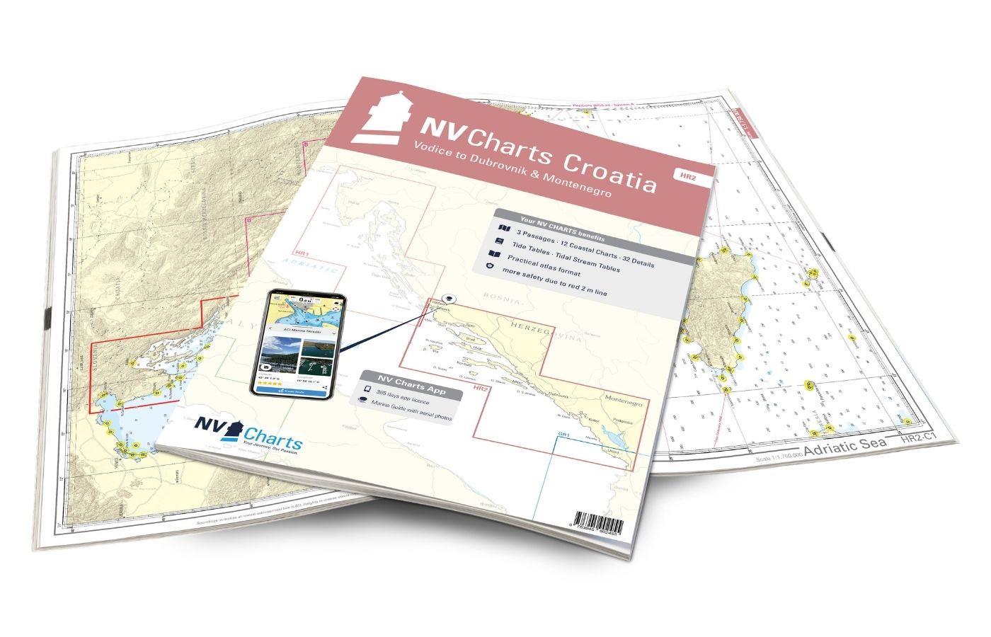
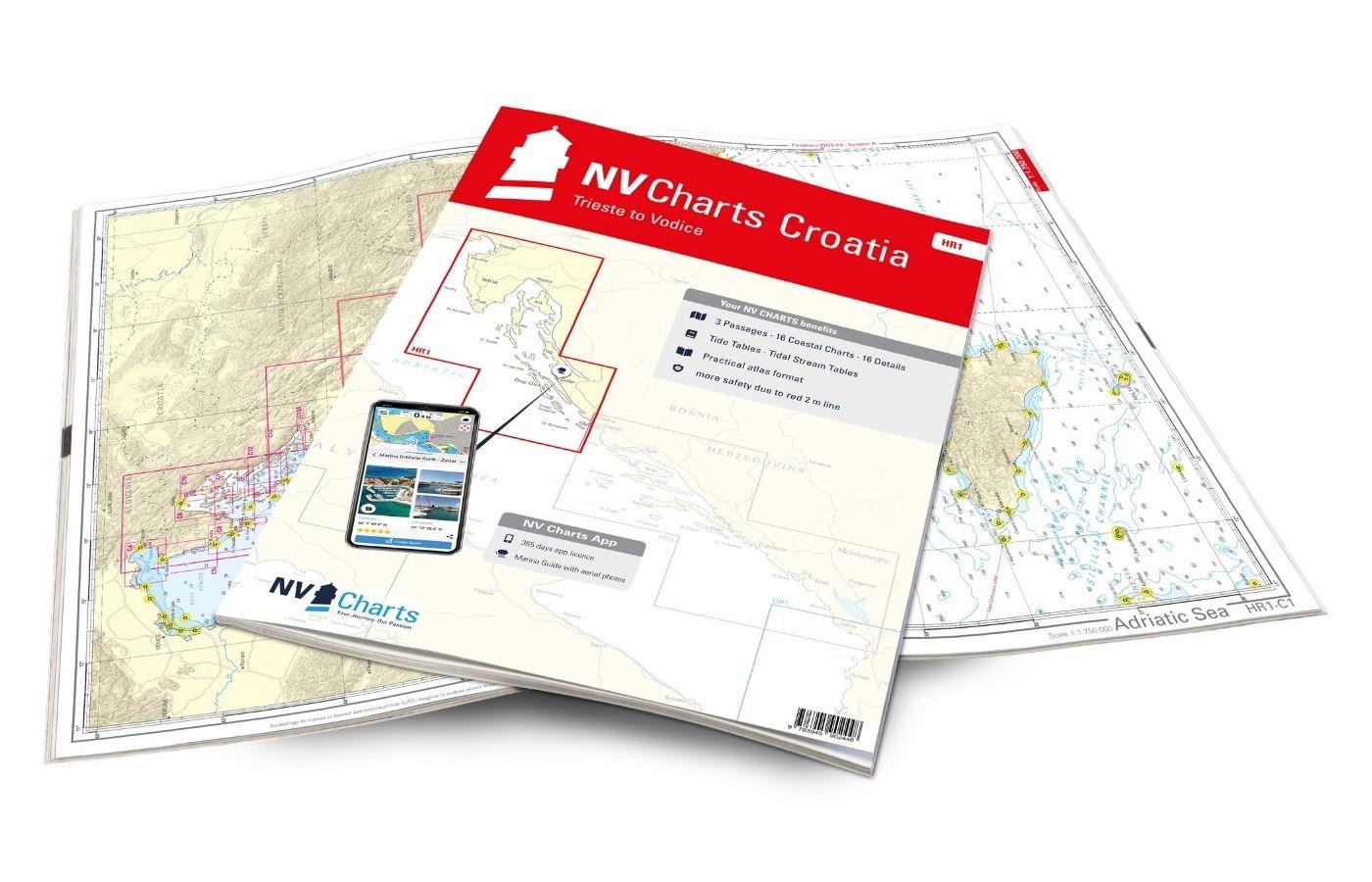
In addition we recommend the chart sets of NV Charts Atlas HR 1 and HR 2
The "Coastal Handbook Croatia and Montenegro" offers you helpful information that you need for planning your holiday cruise and for orientation on site!
Product Info:
Publisher: Edition Maritim
Format: spiral binding with cover
ISBN: 978-3-667-11748-9
Edition: 4. revised edition 2020
Pages: 80
Dimensions: 22 x 30 cm
Photos and illustrations: 35
Other: 43 maps 230 port plans
VOLUME 2
| Author: | Bodo Müller, Jürgen Strassburger |
|---|---|
| Format: | Spiralbindung |
| Language: | Deutsch |
With the help of our area preview, you can get an impression of which geographical region the product deals with or which areas a nautical chart covers.
Related products to this item
Reviews
Login

