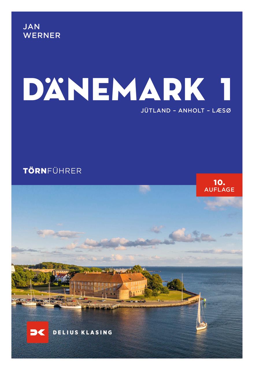
Törnführer Dänemark 1; Jütland • Anholt • Læsø

€39.90*


Product number: 22279

Description

Denmark a kingdom for sailors and powerboaters

Our neighbouring country to the north is one of the most popular destinations for German sailors and powerboaters with coasts as diverse as the North Sea and the Baltic Sea shaping the varied sailing areas.

Detailed trip suggestions guide the skipper through very different waters:

  • Jutlands West Coast the North Sea cruise for individualists from Rømø to Thyborøn at the entrance to the Limfjord
  • the 90 nm long Limfjord probably the most beautiful sailing water in Denmark as a protected area also suitable for small boats
  • around the island of Als from Sønderborg to Høruphav 60 nautical miles for the not yet so experienced cruising sailor
  • through the Little Belt from Åbenrå to Frederica a classic coastal cruise
  • to the fjords of Vejle and Horsens ideal for a trailer boat
  • around the island of Samsø the course leads from Frederica to Århus ideal for small keel boats
  • around the Djursland peninsula from Århus to Hals including the idyllic Ebeltoft and the bathing bays in the Kalø Vig as well as from Grenå to the island of Anholt
  • two idyllic areas: the shallow Randers Fjord with its reedy shores and the Mariager Fjord with its greater water depths and wooded coasts
  • for cruising yachtsmen the northern Kattegat from Hals to Skagen and the island of Læsø

The information on approaches and harbours moorings and supply facilities was again collected by the author on his own keel and the harbour plans have also been accurately updated. The notes on culture and history arouse curiosity about the many sights making shore excursions a rewarding experience.


Author: Jan Werner
Format: Softcover / Taschenbuch
Language: Deutsch
Area preview

With the help of our area preview, you can get an impression of which geographical region the product deals with or which areas a nautical chart covers.

Reviews

1 of 1 reviews

4 out of 5 stars


0%

100%

0%

0%

0%


Leave a review!

Share your experiences with other customers.


26 February 2021 21:56

Uwe B.

Das Buch konnte ich leider noch nicht testen macht aber einen guten Eindruck, aber der Kundenservice war super vielen Dank für die Beratung.

Related products to this item

Related products to this item

-33 %
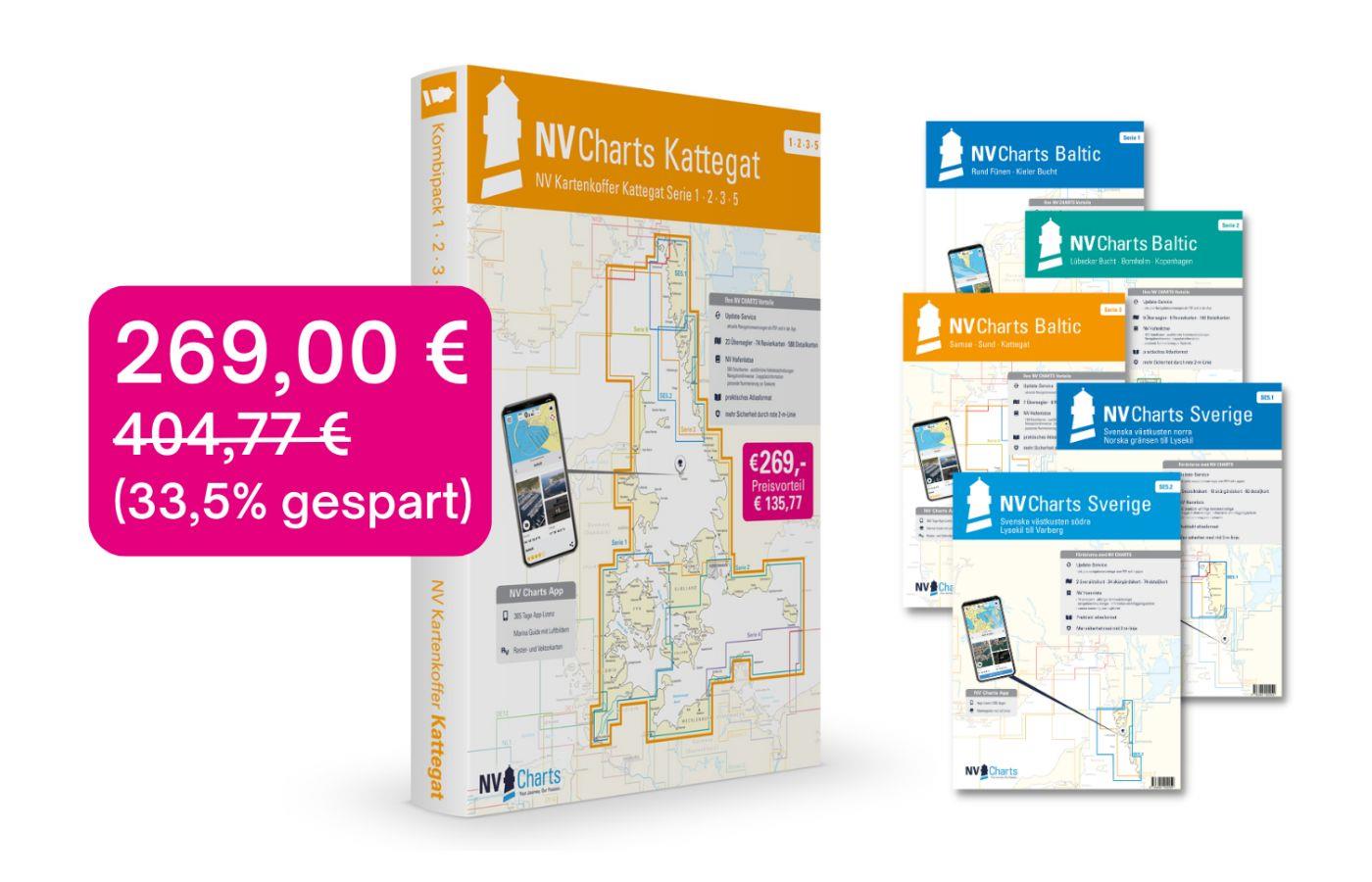
NV Charts Box North Germany to Norwegian border Region 1, 2, 3, 5.1, 5.2
Those looking to save while still being optimally equipped to travel from Kiel Bay to the Norwegian border will be very well served by the NV Atlas Kattegat Case . The Kattegat Case includes the Serie

€269.00* €404.77* (33.54% saved)
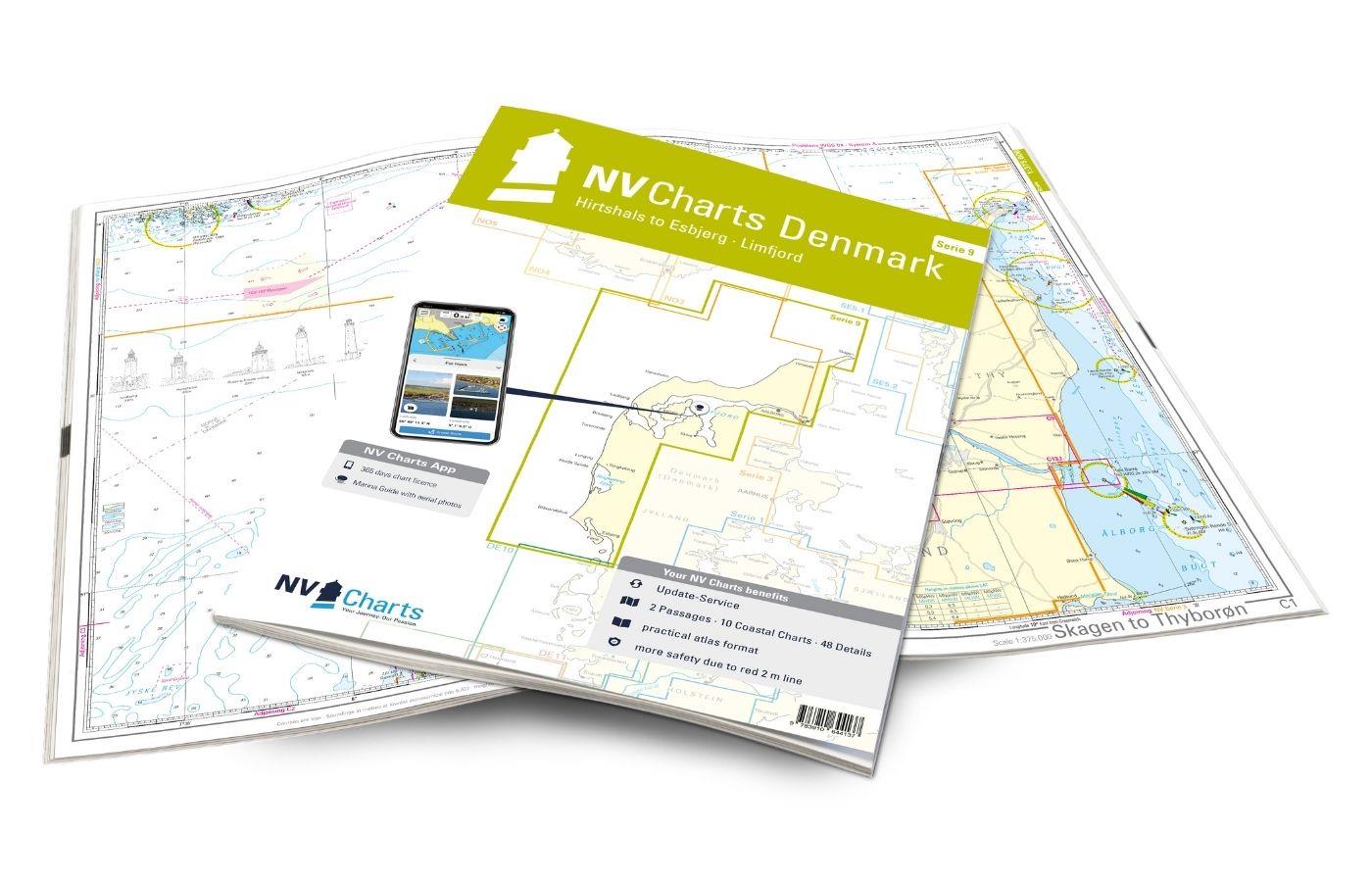
NV Charts Denmark Serie 9 - Hirtshals to Esbjerg & Limfjord
The Danish west coast and the Limfjord are among the most popular holiday regions in the Scandinavian country. The coast is known for its endless, fine sandy beaches. The Limfjord is an elongated soun

€64.99*
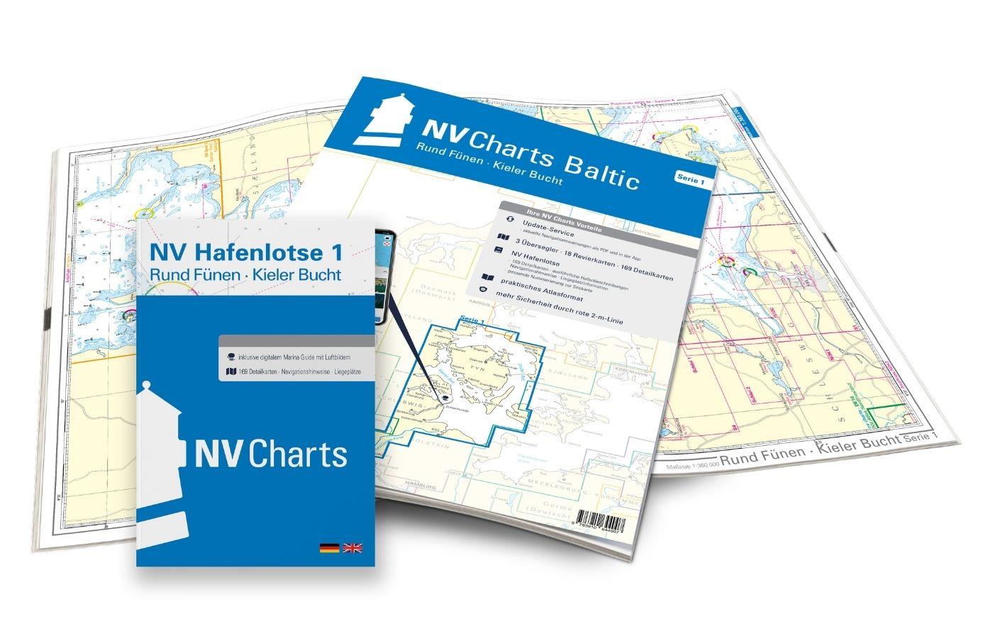
NV Atlas Baltic Region 1, North Germany South Denmark
The handy pleasure craft charts for the Baltic Sea Round Fünen to Kiel Bay are a chart series specially designed for recreational boating. It contains the nautical charts in various sizes, as well as

Variants from €75.99*
€94.99*
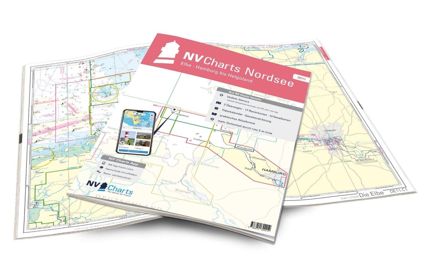
NV Charts Nordsee DE11 - Elbe, Hamburg bis Helgoland
Hamburg to Helgoland, the world-famous northern German port city and Germany's only offshore island. The chart set DE 11 Elbe to Helgoland takes you from the Port of Hamburg via Stade, Glücksstadt to

Variants from €58.49*
€64.99*
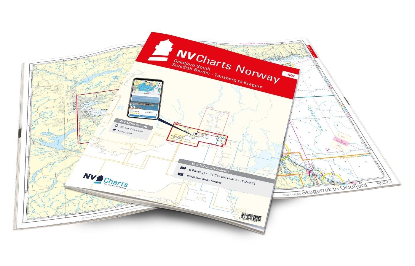
NV Charts Norway NO2 - Oslofjord Sør, Svenska Grensen til Kragerø
The NV Charts Atlas NO2 covers the southern Oslofjord. NV Charts for the Norwegian coast are based on data from the Norwegian Hydrographic Office and also include the harbour plans of the "Norske Los"

€74.99*
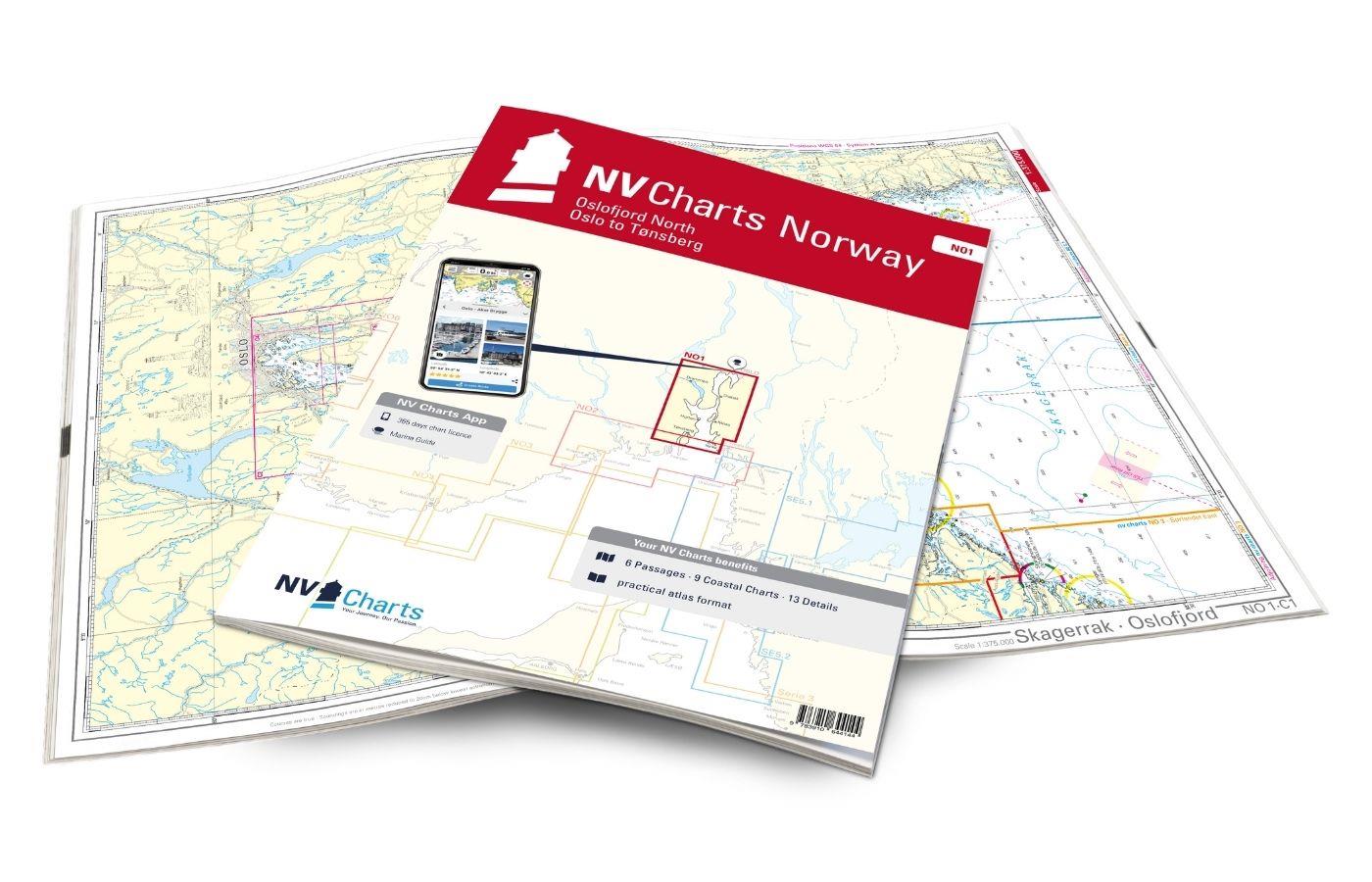
NV Charts Norway NO1 - Oslofjord Nord, Oslo to Tønsberg
The NV Charts Norway Atlas NO1 covers the region around Oslo. NV Charts charts for the Norwegian coast are based on data from the Norwegian Hydrographic Office and also include the harbour plans of th

€74.99*
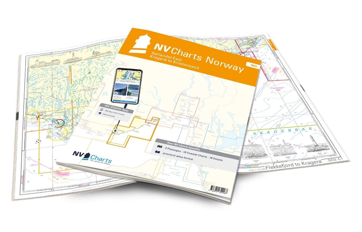
NV Charts Norway NO3 - Sørlandet East - Kragerø to Kristiansand
The NV Charts Norway Atlas NO3 covers the southern coast of Norway up to Kristiansand. NV charts for the Norwegian coast are based on data from the Norwegian Hydrographic Office and also include the h

€74.99*