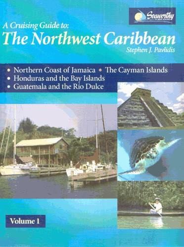
The Northwest Caribbean
Chart ID:
RB0235-1
Description
First new coverage of these Northwest Caribbean regions since 1990. All original charts based on personal surveys conducted by the author. Extensive navigational instructions and GPS waypoints first ever detailed cruising guide coverage of the Cayman Islands. Includes the northern coast of Jamaica the Cayman Islands the Bay Islands and Mainland Honduras Guatemala and the Rio Dulce. An excellent and much-needed cruising guide to this region. 388 Seiten viele S/W-Abbildungen und Kartenskizzen Großformat Spiralbindung 2008.
Area preview
With the help of our area preview, you can get an impression of which geographical region the product deals with or which areas a nautical chart covers.
Related products to this item
Reviews
Login


