BlueChart g3 Chip Regular HXEU060R-Germany Inland Waters
Description
Electronic nautical chart for the modern chart plotters from Garmin
The cartography contains integrated chart areas for a transition-free display information on tides and currents. Due to the very detailed representation the map image is very pleasant and complete.
Coverage
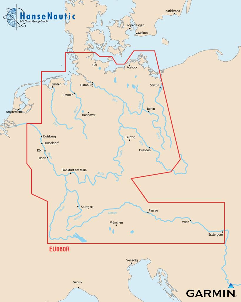
Detailed coverage of the German North Sea and Baltic Sea coasts and the German inland waterway system including the entire Rhine the Main to Bamberg the Danube from Kelheim to Passau in Germany the Saar the Moselle to Metz FR the Ems to Papenburg the Weser to Minden the Elbe to Dresden the Havel to Oranienburg the entire Rhine-Main-Danube Canal the Oder-Havel Canal the Elbe-Havel Canal the Elbe-Seiten Canal the Kiel Canal the Mittelland Canal Lake Constance Lake Zurich in Switzerland Lake Balaton in Hungary and Lake Neusiedl in Austria.
Please state your device type when ordering (please enter in the info field during the ordering process).
Data carrier
Maps from Garmin are only available on mSD cards. The previously used Garmin modules are no longer available.As a premium marine chart product g3 charts are available for demanding water sports enthusiasts.
Features
-Detailed depth contours
-Suggested routes
-Depth range shading
-Shallow water shading
Compatibility
Only Garmin charts can be used with Garmin plotters. Other chart manufacturers do not supply suitable charts.
nvtext_bluechart
| Format: | mSD-Karte |
|---|---|
| Size: | Regular |
Recommended by NV Charts
Reviews
Login

