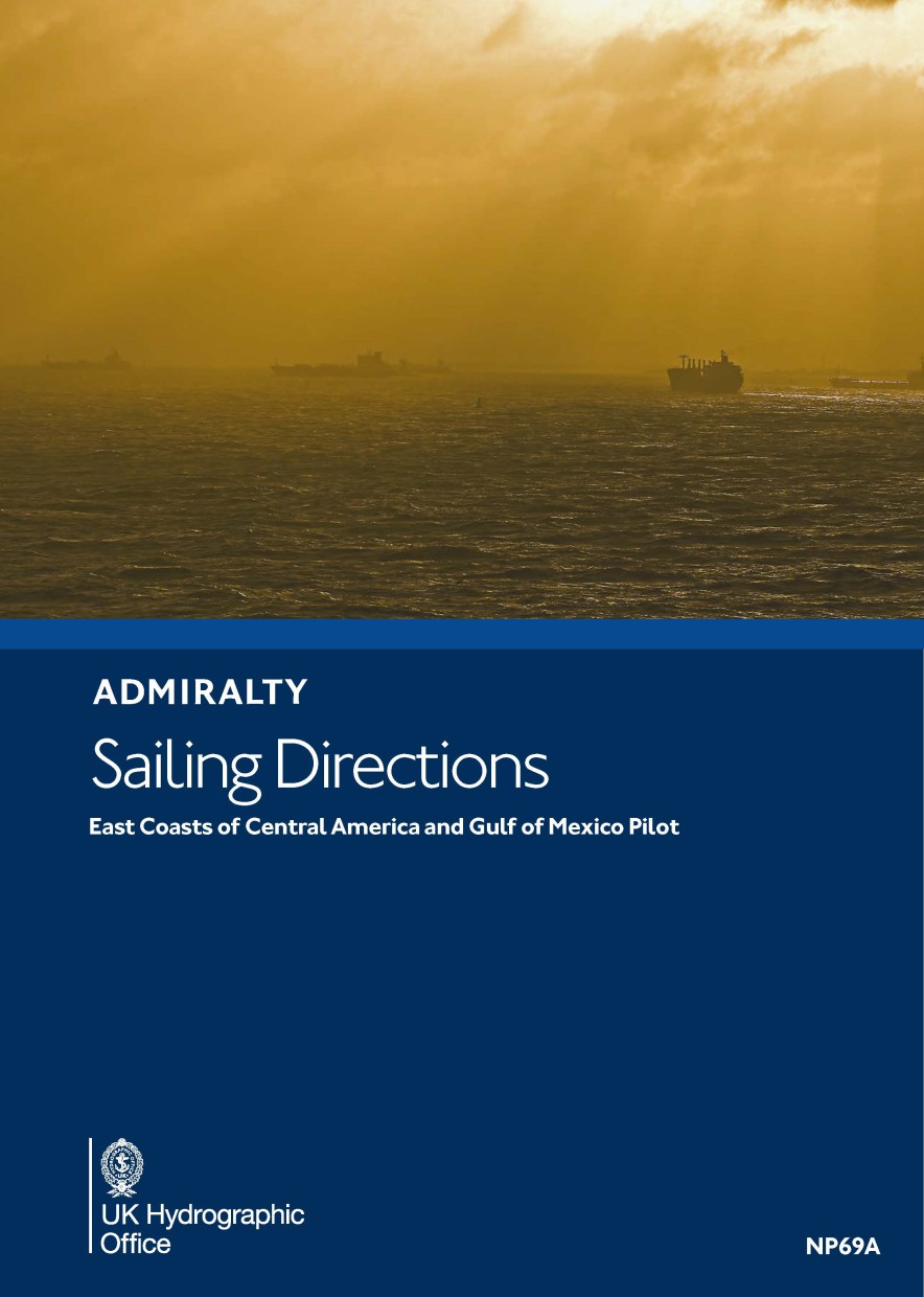
ADMIRALTY NP69A East Coasts of Central America and Gulf of Mexico Pilot - Seehandbuch

Chart ID: NP69A

€109.90*


Product number: 28545

Description

Admiralty Sailing Directions. East Coasts of Central America and Gulf of MexicoPilotWestern Caribbean Sea and Gulf of Mexico from Punta Terraba to Cape Sable including Yucata Channel.
Area preview

With the help of our area preview, you can get an impression of which geographical region the product deals with or which areas a nautical chart covers.

Related products to this item

Related products to this item

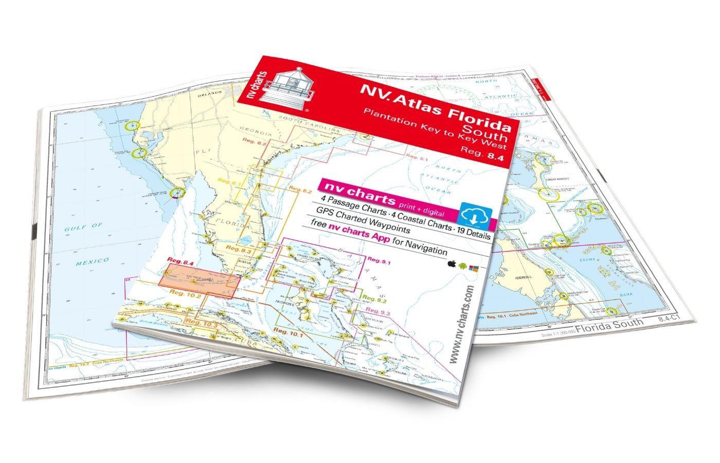
NV Charts Florida 8.4 - South Florida, Plantation Key to Key West
Plantation Key to Key West. 4 oversailers 19 coastal and 3 detailed maps with "Harbour & Anchorage Pilot". Format 30x42cm paperback. In English language. The set includes a download code for all m

€49.00*
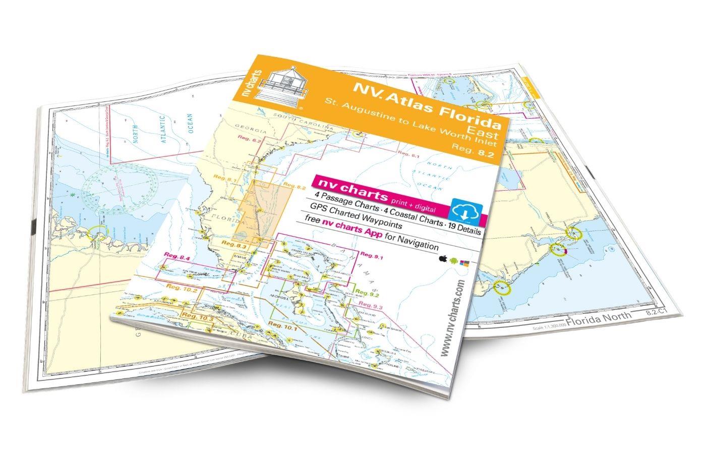
NV Atlas Florida, East Reg. 8.2 - St. Augustine to Lake Worth Inlet
St. Augustine to Lake Worth Inlet. 4 oversailers 23 coastal and 8 detailed maps with "Harbour & Anchorage Pilot". Format 30x42cm paperback. In English language. The set includes a download code for

€49.00*
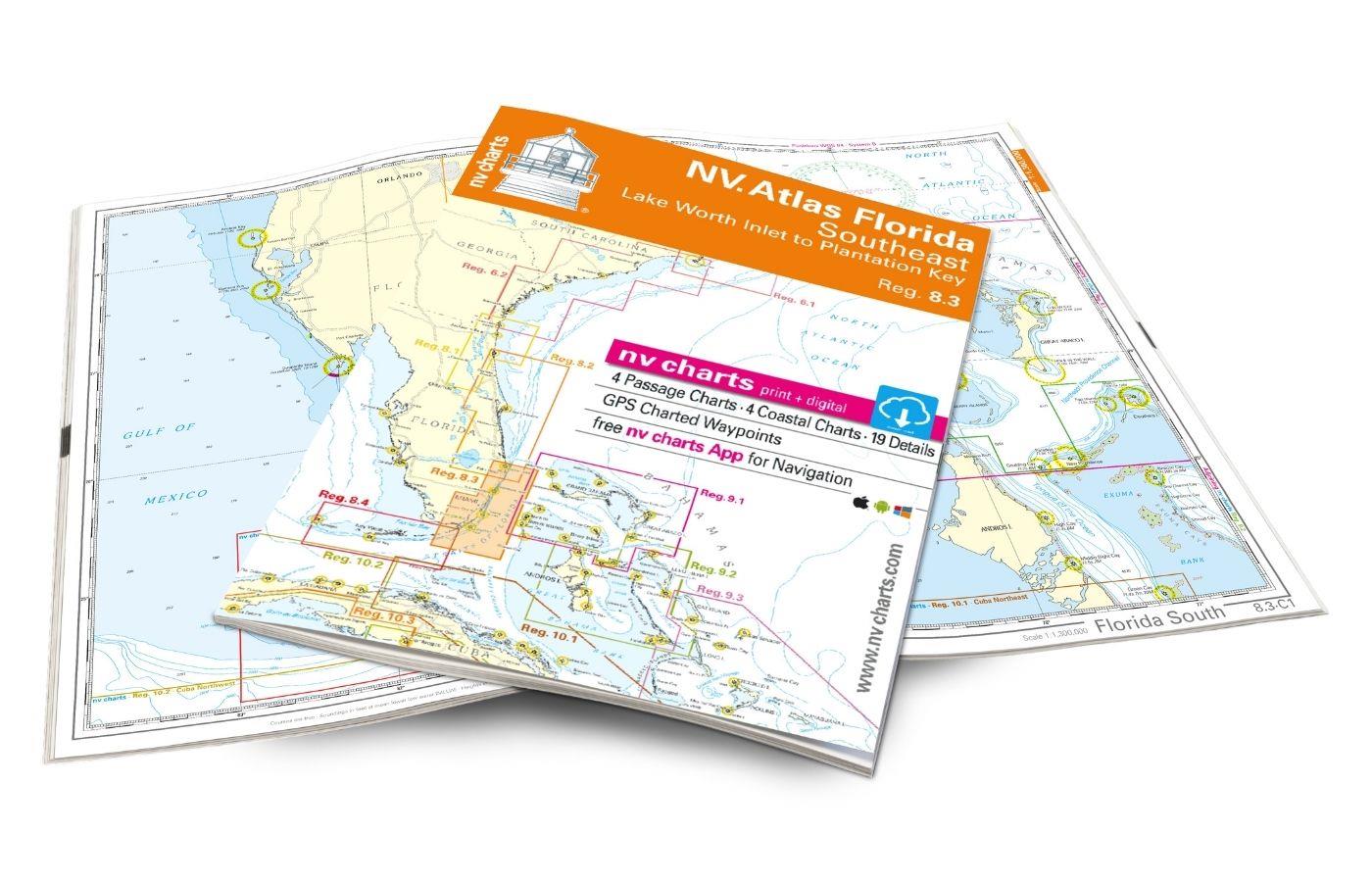
NV Atlas Florida Southeast Reg. 8.3 - Lake Worth Inlet to Plantation Key
Lake Worth Inlet to Plantation Key. 3 oversailers 20 coastal and 7 detailed maps with "Harbour & Anchorage Pilot". Format 30x42cm paperback. In English language. The set includes a download code fo

€49.00*

Reviews

0 of 0 reviews

Leave a review!

Share your experiences with other customers.