Skip to main content Skip to search Skip to main navigation

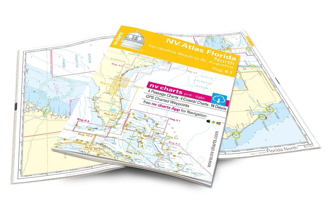
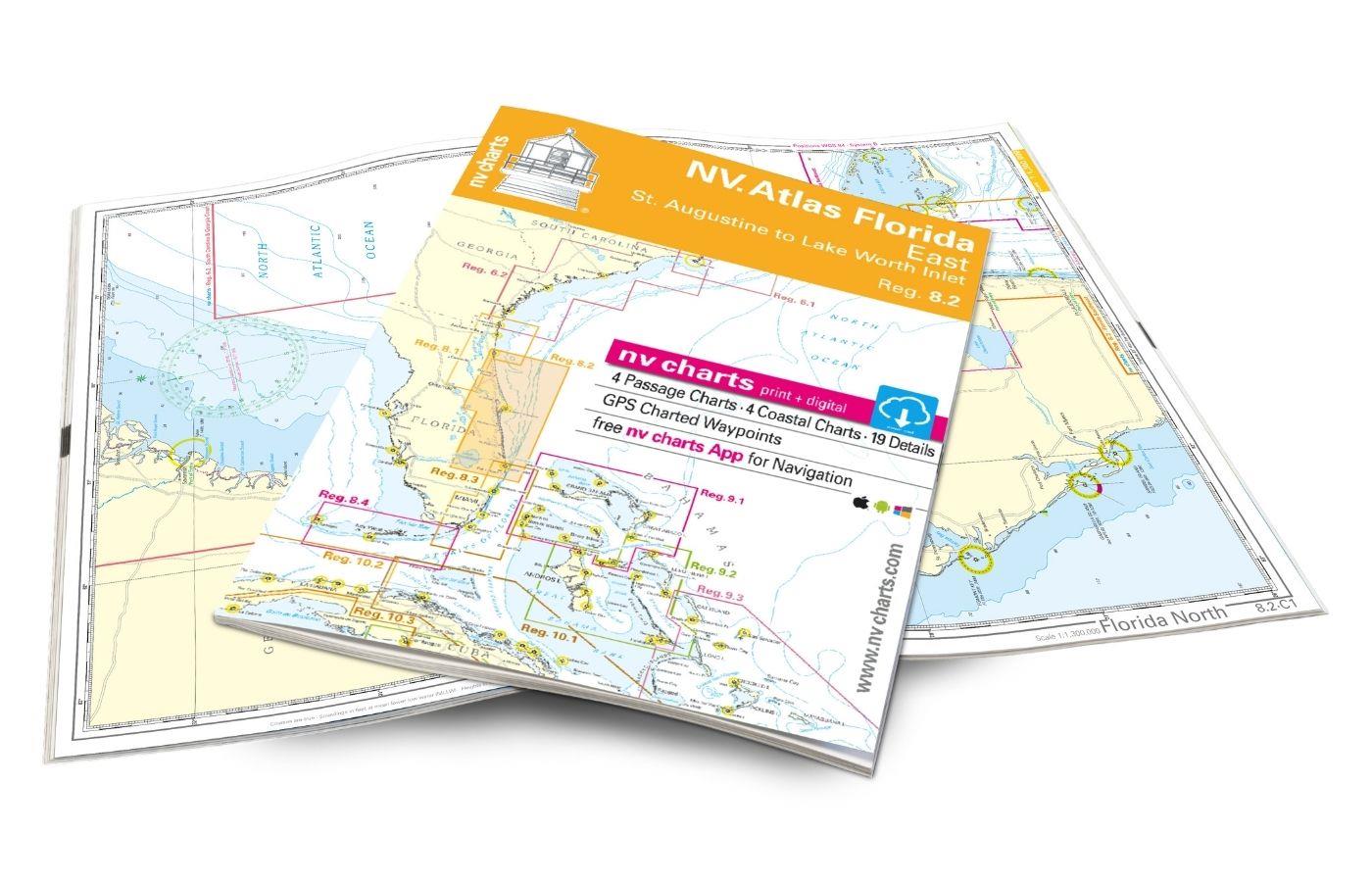
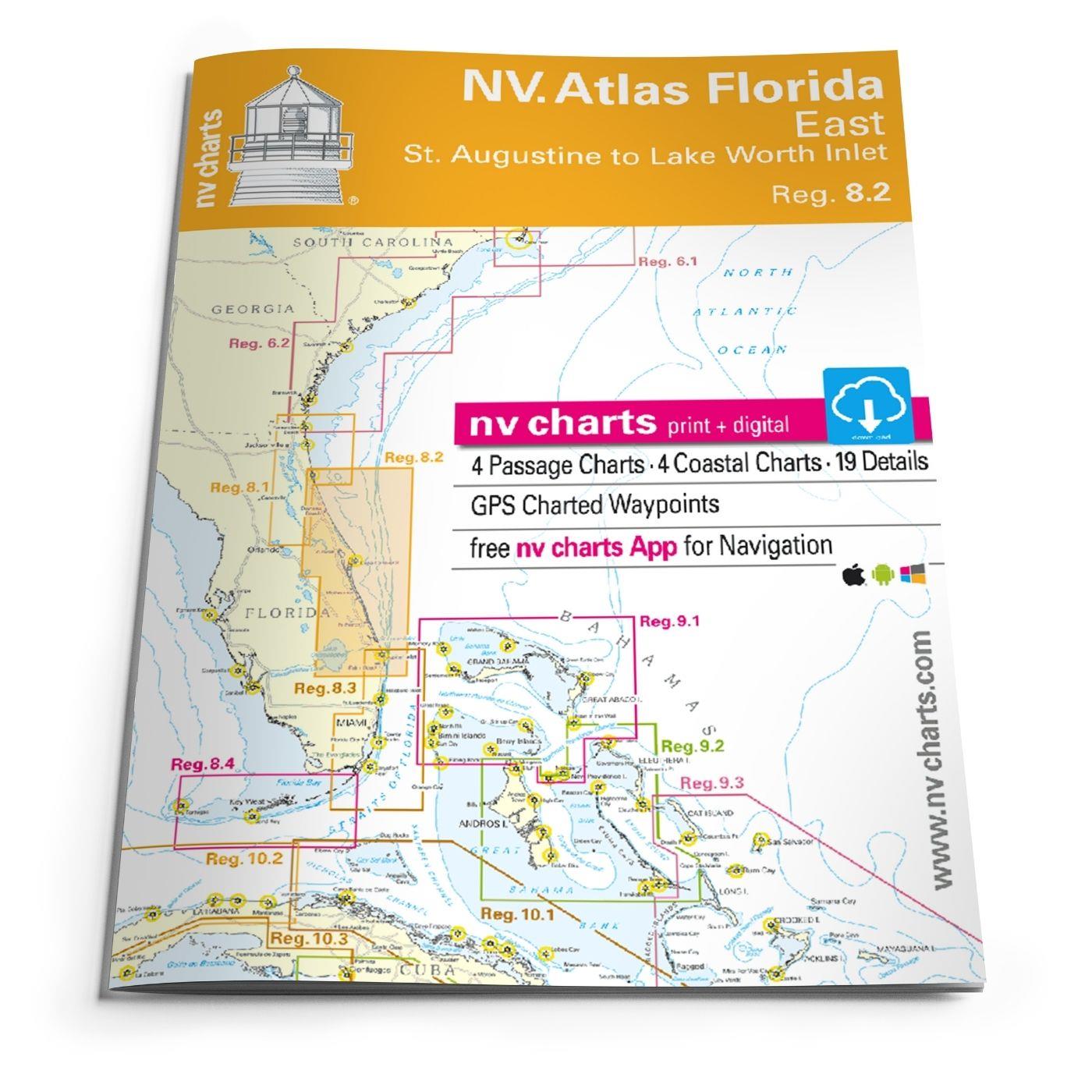
St. Augustine to Lake Worth Inlet. 4 oversailers 23 coastal and 8 detailed maps with "Harbour & Anchorage Pilot". Format 30x42cm paperback. In English language. The set includes a download code for all maps of the area in nv.digital- format for use with the navigation programme "Chart Navigator light" as well as with smartphone/tablet (Apple: iOS/MacOSX Android Windows 7/8/10). Now in Atlas format!

0 of 0 reviews

Average rating of 0 out of 5 stars

Leave a review!

Share your experiences with other customers.


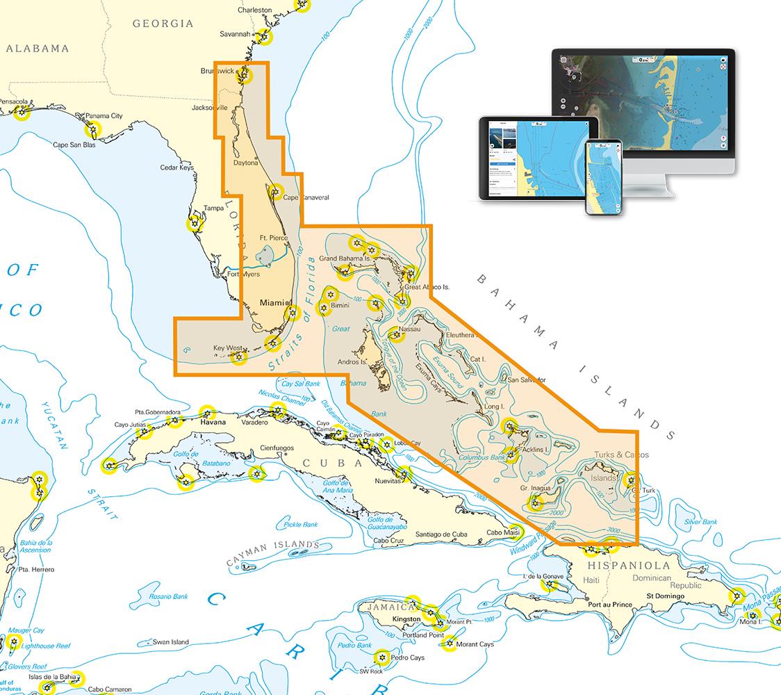
Area preview

With the help of our area preview, you can get an impression of which geographical region the product deals with or which areas a nautical chart covers.

Other customers bought also

Gebietsvorschau für NV Charts Pilot 5 North Atlantic Ocean - Gibraltar to Caribbean, Atlantic Islands öffnen
NV Charts Pilot 5 North Atlantic Ocean - Gibraltar to Caribbean, Atlantic Islands
The NV Charts Pilot 5 is a folding chart that you absolutely need for planning a transatlantic passage. The west coast of Spain, Portugal, Morocco and the Canary Islands are covered in this oversailer

€24.99*
Logbuch / Schiffstagebuch NV
The NV Logbook / Ships Diary with the officially prescribed page numbering is clear and practical.The clear division for navigation data with time course sm and remarks on the course of the voyage suc

€15.90*
Gebietsvorschau für NV Charts Pilot 6 - US East Coast, Maine to Caribbean • Bermuda öffnen
NV Charts Pilot 6 - US East Coast, Maine to Caribbean • Bermuda
The Pilot 6 is a planning chart for the east coast of the USA. The Antilles, Cuba and the Caribbean Sea can also be found on this chart.This folding chart consists of two overview charts:Chart 1, scal

€24.99*
Gebietsvorschau für NV Charts Caribbean 11.1 - Puerto Rico - Dominican Republic - Spanish Virgin Islands öffnen
NV Charts Caribbean 11.1 - Puerto Rico - Dominican Republic - Spanish Virgin Islands
With the NV Charts Caribbean 11.1 Atlas you have the perfect companion for the Dominican Republic, Puerto Rico and the Spanish Virgin Islands at your side. Thanks to the clear layout, you can quickly

€94.99*

Related products to this item

Gebietsvorschau für NV Charts Bahamas 9.1 - Bahamas North West, Bimini & Berry Islands, Nassau to Abaco, Grand Bahama öffnen
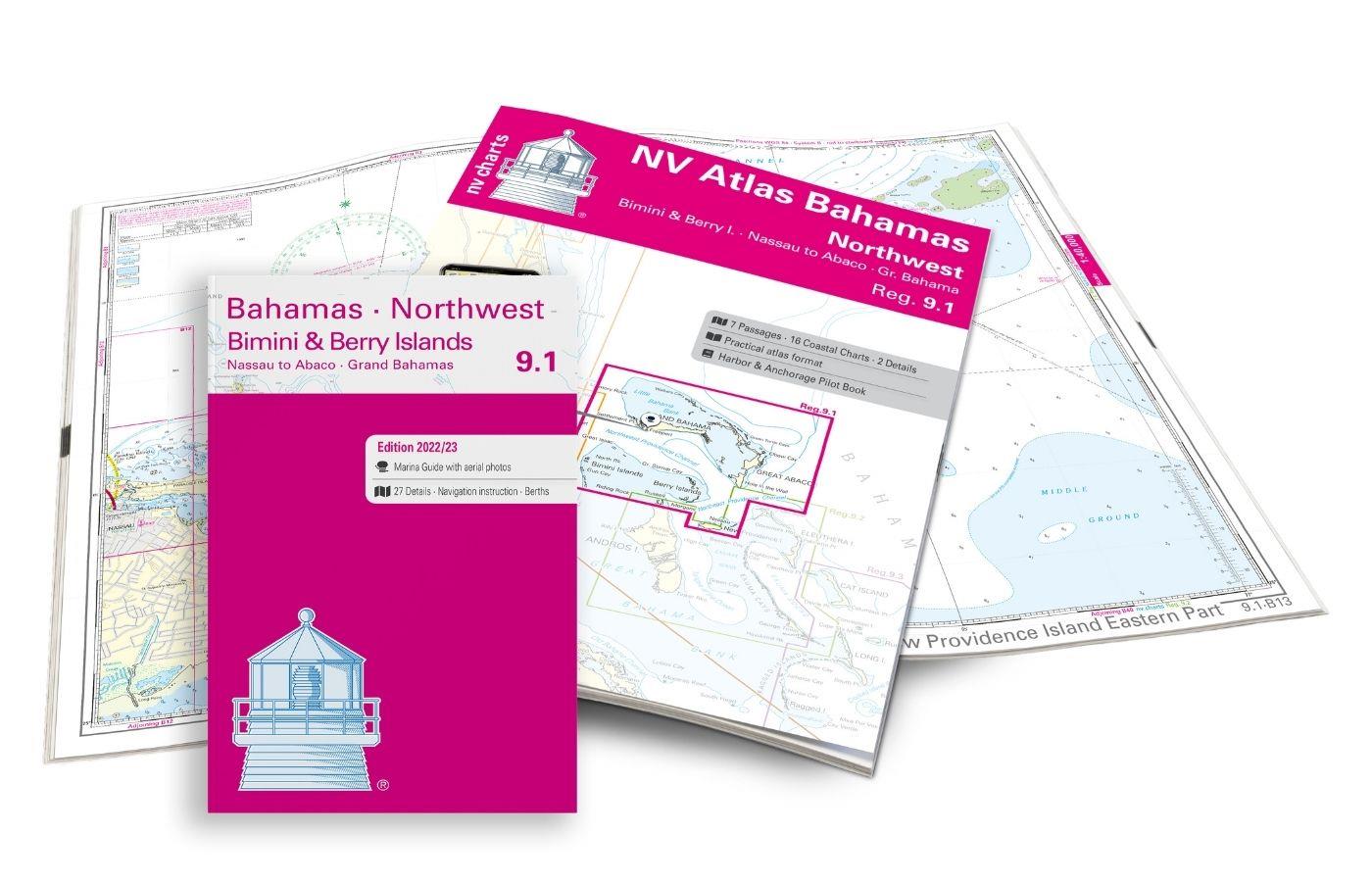
NV Charts Bahamas 9.1 - Bahamas North West, Bimini & Berry Islands, Nassau to Abaco, Grand Bahama
The NV Charts Bahamas 9.1 Atlas  is the right companion for the Bimini and Berry Islands, Grand Bahama and Nassau to Abaco . Thanks to the clear layout, the recreational skipper can quickly

€74.99*
Gebietsvorschau für NV Atlas Florida Southeast Reg. 8.3 -  Lake Worth Inlet to Plantation Key öffnen
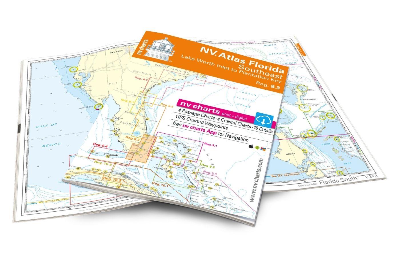
NV Atlas Florida Southeast Reg. 8.3 - Lake Worth Inlet to Plantation Key
Lake Worth Inlet to Plantation Key. 3 oversailers 20 coastal and 7 detailed maps with "Harbour & Anchorage Pilot". Format 30x42cm paperback. In English language. The set includes a download code fo

€49.00*
Gebietsvorschau für NV Atlas 9.3, Bahamas South East - Cat & Long Island - Rum Cay to Turks & Caicos öffnen
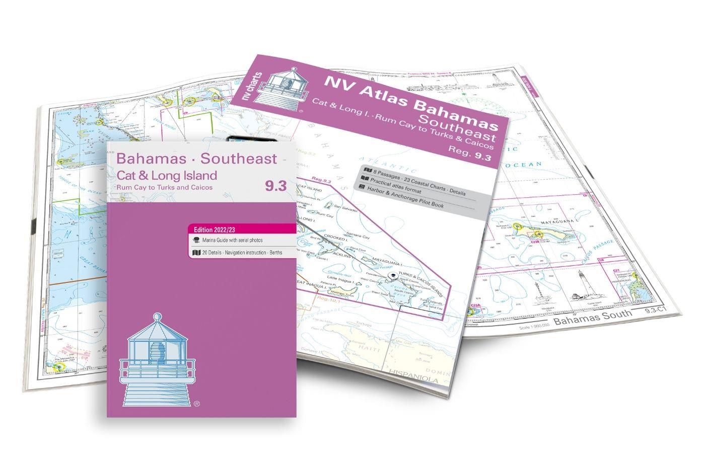
NV Atlas 9.3, Bahamas South East - Cat & Long Island - Rum Cay to Turks & Caicos
The NV Charts Bahamas 9.3 Atlas is the perfect companion for the southern Bahamas and the Turks and Caicos Islands . Thanks to the clear layout, the recreational skipper can quickly find approach

€74.99*
Gebietsvorschau für NV Charts Caribbean 12.3 - Windward Islands öffnen
NV Charts Caribbean 12.3 - Windward Islands
With the NV Charts Atlas Caribbean 12.3 you have the perfect companion for the Windward Islands from Martinique to Grenada at your side. Thanks to the clear layout, you can find approaches,

€94.99*
Gebietsvorschau für NV Charts Caribbean 12.2 - Leeward Islands öffnen
NV Charts Caribbean 12.2 - Leeward Islands
With the NV Charts Caribbean 12.2 Atlas  you have the perfect companion for the Leeward Islands from Anguilla to Dominica at your side. Thanks to the clear layout, you can find approaches, h

€94.99*
Gebietsvorschau für NV Charts Bahamas 9.2 - Central, Andros to Exumas & Eleuthera Islands öffnen
NV Charts Bahamas 9.2 - Central, Andros to Exumas & Eleuthera Islands
The NV Charts Bahamas 9.2 Atlas  is the right companion for the Central Bahamas: Andros to Exumas and Eleuthera Islands . Thanks to the clear layout, the recreational skipper can quickly find app

€74.99*

Similar products

Gebietsvorschau für NV Charts Florida 8.4 - South Florida, Plantation Key to Key West öffnen
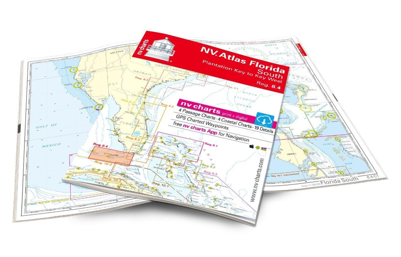
NV Charts Florida 8.4 - South Florida, Plantation Key to Key West
Plantation Key to Key West. 4 oversailers 19 coastal and 3 detailed maps with "Harbour & Anchorage Pilot". Format 30x42cm paperback. In English language. The set includes a download code for all m

€49.00*
Gebietsvorschau für NV Atlas 9.3, Bahamas South East - Cat & Long Island - Rum Cay to Turks & Caicos öffnen
NV Atlas 9.3, Bahamas South East - Cat & Long Island - Rum Cay to Turks & Caicos
The NV Charts Bahamas 9.3 Atlas is the perfect companion for the southern Bahamas and the Turks and Caicos Islands . Thanks to the clear layout, the recreational skipper can quickly find approach

€74.99*
Gebietsvorschau für NV Charts Pilot 6 - US East Coast, Maine to Caribbean • Bermuda öffnen
NV Charts Pilot 6 - US East Coast, Maine to Caribbean • Bermuda
The Pilot 6 is a planning chart for the east coast of the USA. The Antilles, Cuba and the Caribbean Sea can also be found on this chart.This folding chart consists of two overview charts:Chart 1, scal

€24.99*
Gebietsvorschau für NV Atlas Florida Southeast Reg. 8.3 -  Lake Worth Inlet to Plantation Key öffnen
NV Atlas Florida Southeast Reg. 8.3 - Lake Worth Inlet to Plantation Key
Lake Worth Inlet to Plantation Key. 3 oversailers 20 coastal and 7 detailed maps with "Harbour & Anchorage Pilot". Format 30x42cm paperback. In English language. The set includes a download code fo

€49.00*
Gebietsvorschau für NV Atlas Florida North Reg. 8.1 - Fernandina Beach to St. Augustine öffnen
NV Atlas Florida North Reg. 8.1 - Fernandina Beach to St. Augustine
Fernandia Beach to St. Augustine. 4 oversailers 20 coastal and 2 detailed maps with "Harbour & Anchorage Pilot". Format 30x42cm paperback. In English language. The set includes a download code for

€49.00*
Gebietsvorschau für NV Charts Bahamas 9.2 - Central, Andros to Exumas & Eleuthera Islands öffnen
NV Charts Bahamas 9.2 - Central, Andros to Exumas & Eleuthera Islands
The NV Charts Bahamas 9.2 Atlas  is the right companion for the Central Bahamas: Andros to Exumas and Eleuthera Islands . Thanks to the clear layout, the recreational skipper can quickly find app

€74.99*
Gebietsvorschau für NV Charts Bahamas 9.1 - Bahamas North West, Bimini & Berry Islands, Nassau to Abaco, Grand Bahama öffnen
NV Charts Bahamas 9.1 - Bahamas North West, Bimini & Berry Islands, Nassau to Abaco, Grand Bahama
The NV Charts Bahamas 9.1 Atlas  is the right companion for the Bimini and Berry Islands, Grand Bahama and Nassau to Abaco . Thanks to the clear layout, the recreational skipper can quickly

€74.99*