Skip to main content Skip to search Skip to main navigation

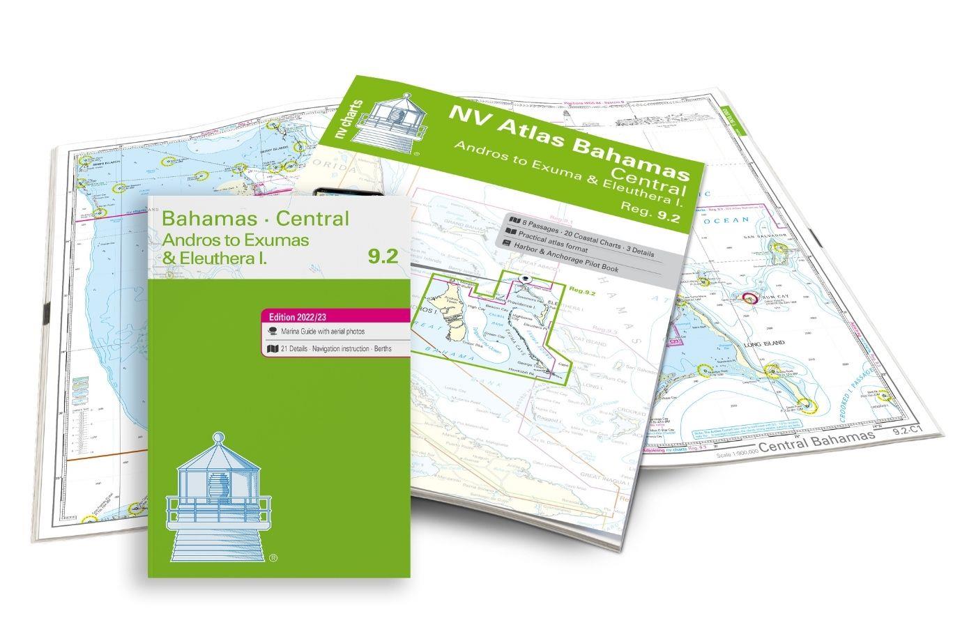
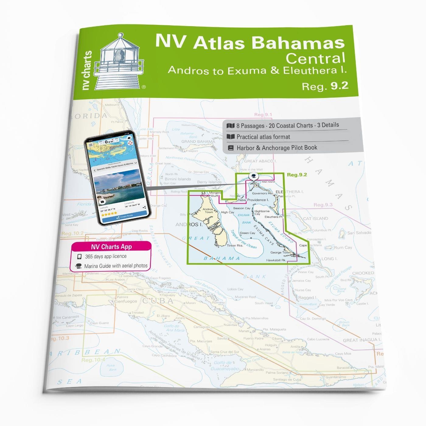
The NV Charts Bahamas 9.2 Atlas  is the right companion for the Central Bahamas: Andros to Exumas and Eleuthera Islands . Thanks to the clear layout, the recreational skipper can quickly find approaches, ports and anchorages and is informed of navigationally important details that also appear in the NV Charts app. The chart series impresses with its optimal dimensions and balanced sheet sections.

Regions overview

Discover a tropical paradise! The Central Bahamas are a dream destination for sailors and offer a unique experience in the Caribbean. With turquoise waters, white sandy beaches and a fascinating underwater world, they are a breathtaking destination. A characteristic feature of the Central Bahamas are the shallow, clear waters, which sometimes make navigation challenging. Up-to-date nautical charts and accurate navigation are therefore important.
Andros is the largest island in the Bahamas and is known for the third largest barrier reef in the world. During snorkeling excursions in the colorful coral reefs, you can discover everything from majestic rays to elegant sharks.
The exumas is an archipelago of 365 islands that begins 35 miles south of Nassau and stretches for 100 miles. Most of the Exumas' 3,500 inhabitants live on Great or Little Exuma, the two largest islands connected by a short bridge. Big Major Cay is an uninhabited island of the Exumas and is also known as Pig Beach: the wild pigs that live here like to swim in the crystal-clear water and are a tourist attraction.
The island Eleuthera got its name from a variation of the Greek word for "freedom". The pink sandy beaches and impressive cliffs are definitely worth a visit! Many of the remote islands of the Central Bahamas offer only limited facilities. It is therefore advisable to find out about port conditions in advance.

With the NV Charts Bahamas 9.1 Atlas, you can connect directly to this chart set and continue exploring the popular island groups to the north.

This map set includes

  • 8 Passage charts 
  • 20 territory charts
  • 3 detailed maps
  • Digital charts for navigation program and NV Charts App 356-day license
  • Navigation instructions in English
  • Tide tables
  • incl. Harbor & Anchorage Pilot Book
  • Meets all legal requirements for current paper charts on board

All advantages at a glance

  • NV Atlas chart format: Practical, handy atlas format, opened in A2, closed in A3 format, flat staple binding in the middle - makes it easy to work with the course triangle
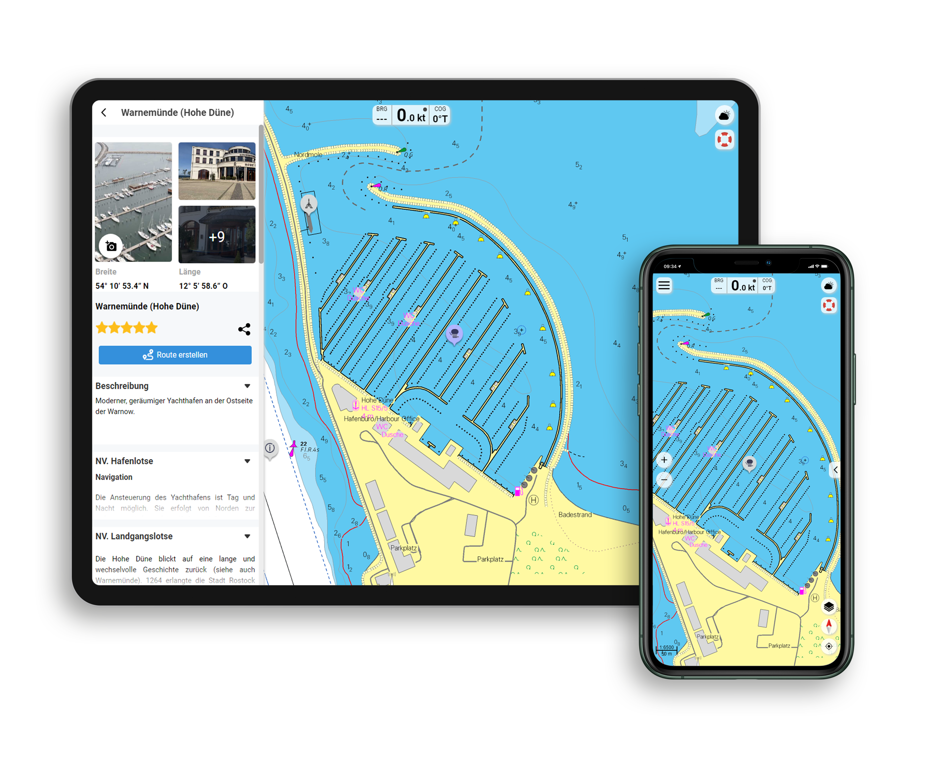
  • NV Charts app: including access code to the digital nautical charts of the purchased area in the NV Charts app with 365-day license, for offline navigation with the app on iOS, Android, PC, Mac or in the web browser, comprehensive port manual
  • Extremely detailed: Nautical charts based on data from official surveys and own surveys, particularly detailed outside the main fairways
  • Optimized for recreational boating

Functions of the NV Charts app

  • Flexible autorouting
  • Satellite overlay
  • Augmented reality
  • VMG (Velocity Made Good)
  • BoatView harbor guide
  • Track recording
  • AIS connection and much more.
Find out more now
Properties "NV Charts Bahamas 9.2 - Central, Andros to Exumas & Eleuthera Islands"
App License: NV Charts App
Region: Bahamas
Size: Atlas
Properties "NV Charts Bahamas 9.2 - Central, Andros to Exumas & Eleuthera Islands"
App License: NV Charts App
Region: Bahamas
Size: Atlas

0 of 0 reviews

Average rating of 0 out of 5 stars

Leave a review!

Share your experiences with other customers.


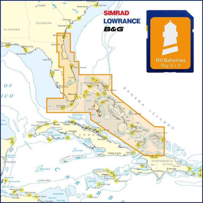
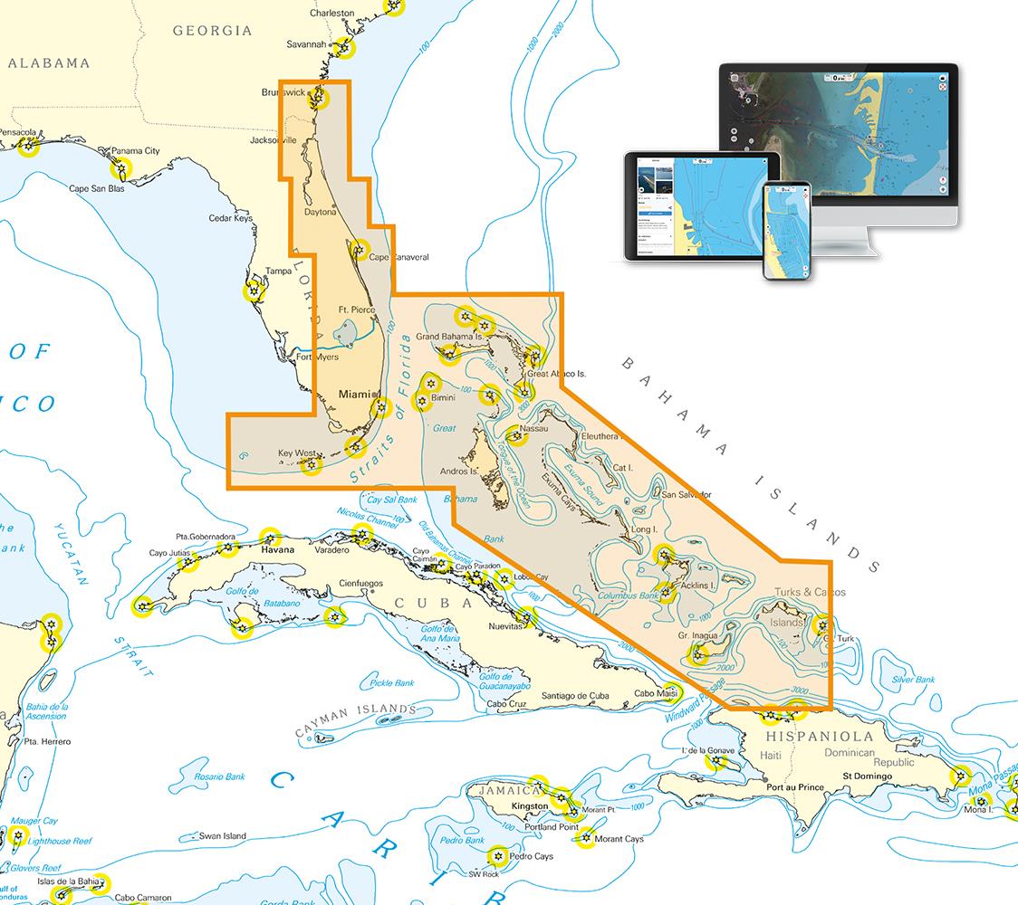
Area preview

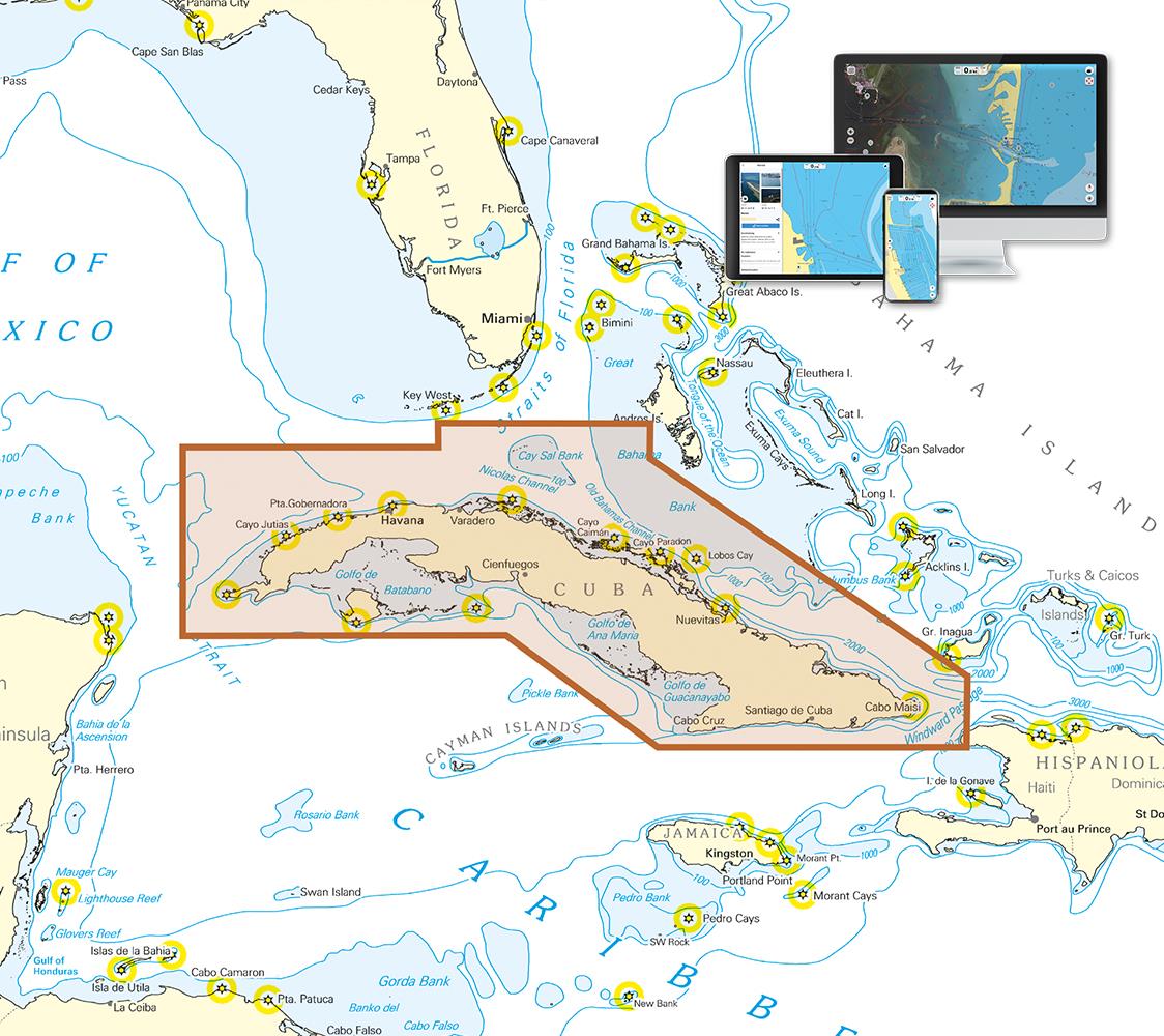
With the help of our area preview, you can get an impression of which geographical region the product deals with or which areas a nautical chart covers.

Other customers bought also

Gebietsvorschau für NV Atlas 9.3, Bahamas South East - Cat & Long Island - Rum Cay to Turks & Caicos öffnen
NV Atlas 9.3, Bahamas South East - Cat & Long Island - Rum Cay to Turks & Caicos
The NV Charts Bahamas 9.3 Atlas is the perfect companion for the southern Bahamas and the Turks and Caicos Islands . Thanks to the clear layout, the recreational skipper can quickly find approach

€74.99*
Gebietsvorschau für Waterway Guide  Bahamas öffnen
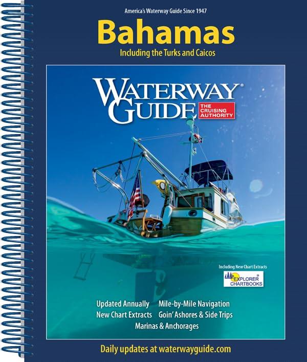
Waterway Guide Bahamas
The annually updated Waterway Guide Bahamas  is a useful travel companion for sailors anglers and powerboat enthusiasts exploring the Bahamasthe Turks and Caicos Islands.This cruising guide provi

€54.90*
Logbuch / Schiffstagebuch NV
The NV Logbook / Ships Diary with the officially prescribed page numbering is clear and practical.The clear division for navigation data with time course sm and remarks on the course of the voyage suc

€15.90*
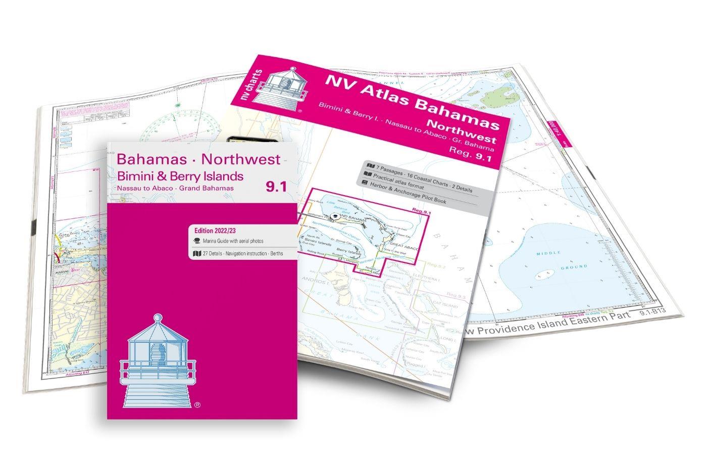
Gebietsvorschau für NV Charts Bahamas 9.1 - Bahamas North West, Bimini & Berry Islands, Nassau to Abaco, Grand Bahama öffnen
NV Charts Bahamas 9.1 - Bahamas North West, Bimini & Berry Islands, Nassau to Abaco, Grand Bahama
The NV Charts Bahamas 9.1 Atlas  is the right companion for the Bimini and Berry Islands, Grand Bahama and Nassau to Abaco . Thanks to the clear layout, the recreational skipper can quickly

€74.99*

Related products to this item

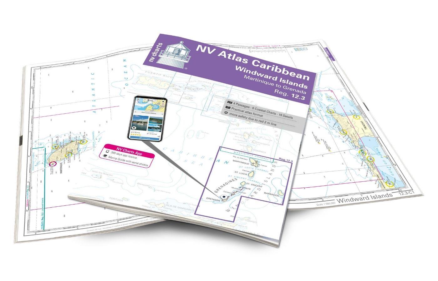
Gebietsvorschau für NV Atlas 9.3, Bahamas South East - Cat & Long Island - Rum Cay to Turks & Caicos öffnen
NV Atlas 9.3, Bahamas South East - Cat & Long Island - Rum Cay to Turks & Caicos
The NV Charts Bahamas 9.3 Atlas is the perfect companion for the southern Bahamas and the Turks and Caicos Islands . Thanks to the clear layout, the recreational skipper can quickly find approach

€74.99*
Gebietsvorschau für NV Charts Bahamas 9.1 - Bahamas North West, Bimini & Berry Islands, Nassau to Abaco, Grand Bahama öffnen
NV Charts Bahamas 9.1 - Bahamas North West, Bimini & Berry Islands, Nassau to Abaco, Grand Bahama
The NV Charts Bahamas 9.1 Atlas  is the right companion for the Bimini and Berry Islands, Grand Bahama and Nassau to Abaco . Thanks to the clear layout, the recreational skipper can quickly

€74.99*
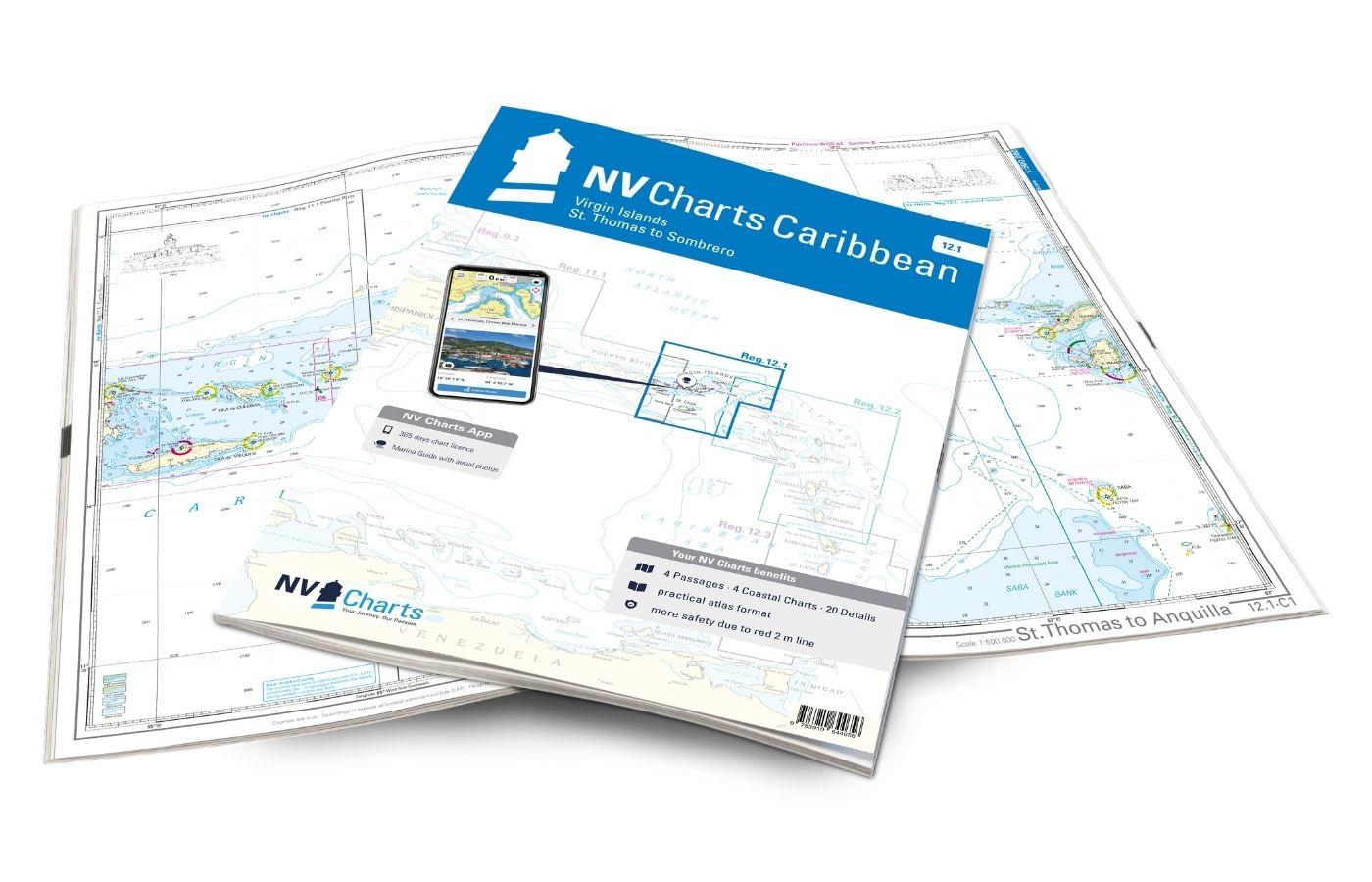
Gebietsvorschau für NV Charts Caribbean 12.1 - Virgin Islands öffnen
NV Charts Caribbean 12.1 - Virgin Islands
With the NV Charts Caribbean 12.1 you have the perfect companion for the Virgin Islands from St Thomas to Sombrero at your side. Thanks to the clear layout, you can find approaches, harbours and

€94.99*
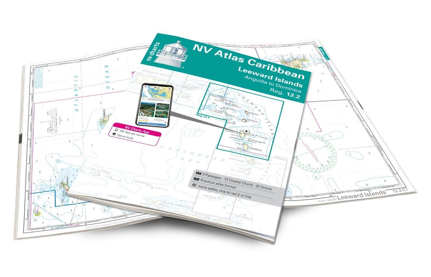
Gebietsvorschau für NV Charts Caribbean 12.2 - Leeward Islands öffnen
NV Charts Caribbean 12.2 - Leeward Islands
With the NV Charts Caribbean 12.2 Atlas  you have the perfect companion for the Leeward Islands from Anguilla to Dominica at your side. Thanks to the clear layout, you can find approaches, h

€94.99*
Gebietsvorschau für NV Atlas Florida Southeast Reg. 8.3 -  Lake Worth Inlet to Plantation Key öffnen
NV Atlas Florida Southeast Reg. 8.3 - Lake Worth Inlet to Plantation Key
Lake Worth Inlet to Plantation Key. 3 oversailers 20 coastal and 7 detailed maps with "Harbour & Anchorage Pilot". Format 30x42cm paperback. In English language. The set includes a download code fo

€49.00*
Gebietsvorschau für NV Atlas Florida, East Reg. 8.2 - St. Augustine to Lake Worth Inlet öffnen
NV Atlas Florida, East Reg. 8.2 - St. Augustine to Lake Worth Inlet
St. Augustine to Lake Worth Inlet. 4 oversailers 23 coastal and 8 detailed maps with "Harbour & Anchorage Pilot". Format 30x42cm paperback. In English language. The set includes a download code for

€49.00*

Similar products

Gebietsvorschau für NV Charts Florida 8.4 - South Florida, Plantation Key to Key West öffnen
NV Charts Florida 8.4 - South Florida, Plantation Key to Key West
Plantation Key to Key West. 4 oversailers 19 coastal and 3 detailed maps with "Harbour & Anchorage Pilot". Format 30x42cm paperback. In English language. The set includes a download code for all m

€49.00*
Gebietsvorschau für NV Charts Cuba 10.1 - Northeast Cuba, Cabo Maisi to Varadero öffnen
NV Charts Cuba 10.1 - Northeast Cuba, Cabo Maisi to Varadero
Explore Cuba's north-east: the NV Charts Cuba 10.1 Atlas accompanies you from Cabo Maisi to Varadero . Thanks to the clear layout, you can quickly find accesses, harbours and anchorages and are i

€94.99*
Gebietsvorschau für NV Atlas 9.3, Bahamas South East - Cat & Long Island - Rum Cay to Turks & Caicos öffnen
NV Atlas 9.3, Bahamas South East - Cat & Long Island - Rum Cay to Turks & Caicos
The NV Charts Bahamas 9.3 Atlas is the perfect companion for the southern Bahamas and the Turks and Caicos Islands . Thanks to the clear layout, the recreational skipper can quickly find approach

€74.99*
Gebietsvorschau für NV Charts Pilot 6 - US East Coast, Maine to Caribbean • Bermuda öffnen
NV Charts Pilot 6 - US East Coast, Maine to Caribbean • Bermuda
The Pilot 6 is a planning chart for the east coast of the USA. The Antilles, Cuba and the Caribbean Sea can also be found on this chart.This folding chart consists of two overview charts:Chart 1, scal

€24.99*
Gebietsvorschau für NV Charts Cuba 10.2 - Northwest - Varadero to Cabo San Antonio öffnen
NV Charts Cuba 10.2 - Northwest - Varadero to Cabo San Antonio
Explore Cuba's north-west: the NV Charts Cuba 10.2 Atlas accompanies you from Varadero to Cabo San Antonio . Thanks to the clear layout, you can find accesses, harbours and anchorages quickly and

€94.99*
Gebietsvorschau für NV Atlas Florida Southeast Reg. 8.3 -  Lake Worth Inlet to Plantation Key öffnen
NV Atlas Florida Southeast Reg. 8.3 - Lake Worth Inlet to Plantation Key
Lake Worth Inlet to Plantation Key. 3 oversailers 20 coastal and 7 detailed maps with "Harbour & Anchorage Pilot". Format 30x42cm paperback. In English language. The set includes a download code fo

€49.00*
Gebietsvorschau für NV Atlas Florida, East Reg. 8.2 - St. Augustine to Lake Worth Inlet öffnen
NV Atlas Florida, East Reg. 8.2 - St. Augustine to Lake Worth Inlet
St. Augustine to Lake Worth Inlet. 4 oversailers 23 coastal and 8 detailed maps with "Harbour & Anchorage Pilot". Format 30x42cm paperback. In English language. The set includes a download code for

€49.00*
Gebietsvorschau für NV Charts Cuba 10.4 - Southeast - Trinidad to Cabo Maisi öffnen
NV Charts Cuba 10.4 - Southeast - Trinidad to Cabo Maisi
Explore Cuba's south-east: the NV Charts Cuba 10.4 Atlas accompanies you from Cienfuegos to Cabo Maisi . Thanks to the clear layout, you can find accesses, harbours and anchorages quickly and are

€94.99*
Gebietsvorschau für NV Atlas Florida North Reg. 8.1 - Fernandina Beach to St. Augustine öffnen
NV Atlas Florida North Reg. 8.1 - Fernandina Beach to St. Augustine
Fernandia Beach to St. Augustine. 4 oversailers 20 coastal and 2 detailed maps with "Harbour & Anchorage Pilot". Format 30x42cm paperback. In English language. The set includes a download code for

€49.00*
Gebietsvorschau für NV Charts Bahamas 9.1 - Bahamas North West, Bimini & Berry Islands, Nassau to Abaco, Grand Bahama öffnen
NV Charts Bahamas 9.1 - Bahamas North West, Bimini & Berry Islands, Nassau to Abaco, Grand Bahama
The NV Charts Bahamas 9.1 Atlas  is the right companion for the Bimini and Berry Islands, Grand Bahama and Nassau to Abaco . Thanks to the clear layout, the recreational skipper can quickly

€74.99*