Skip to main content Skip to search Skip to main navigation

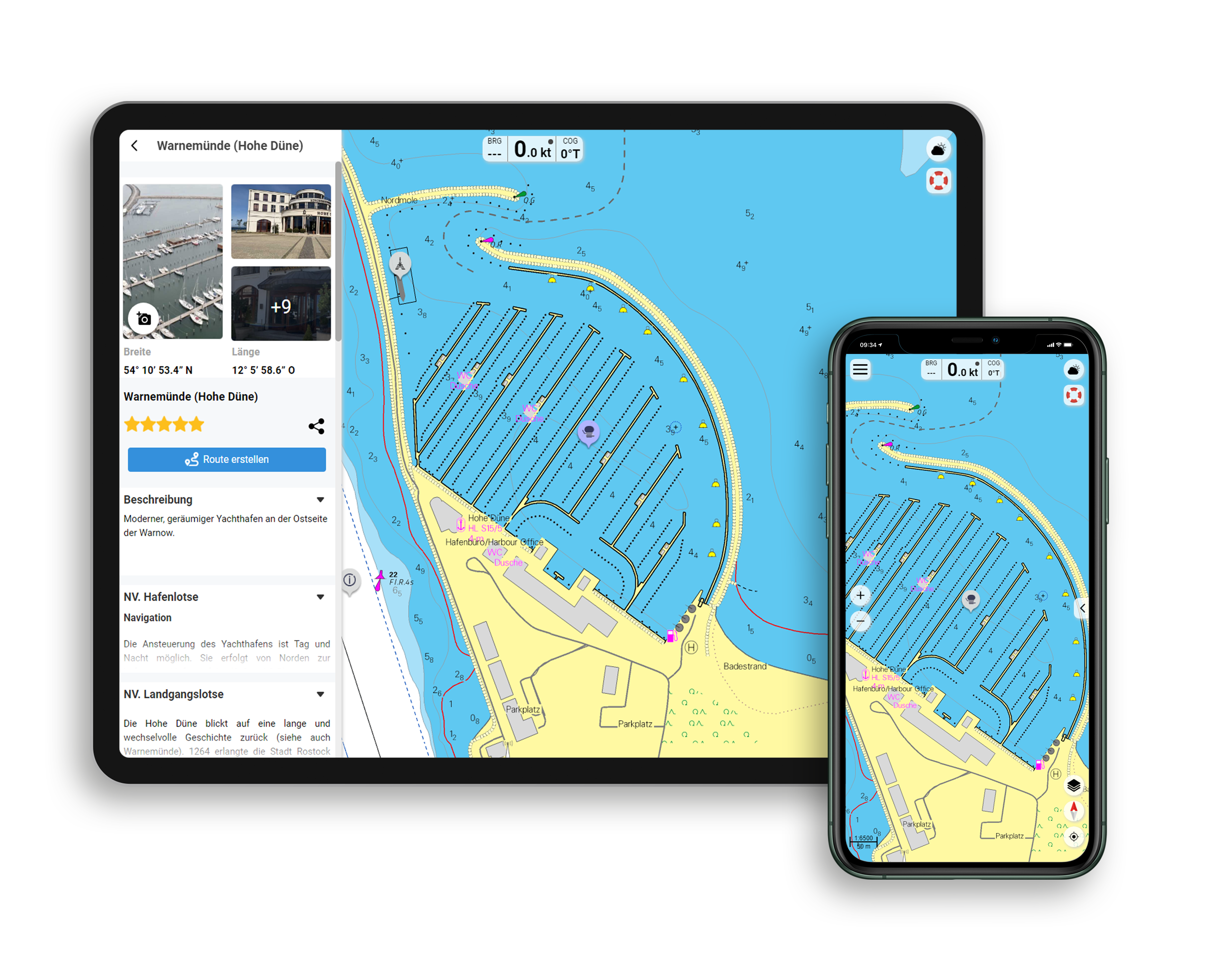
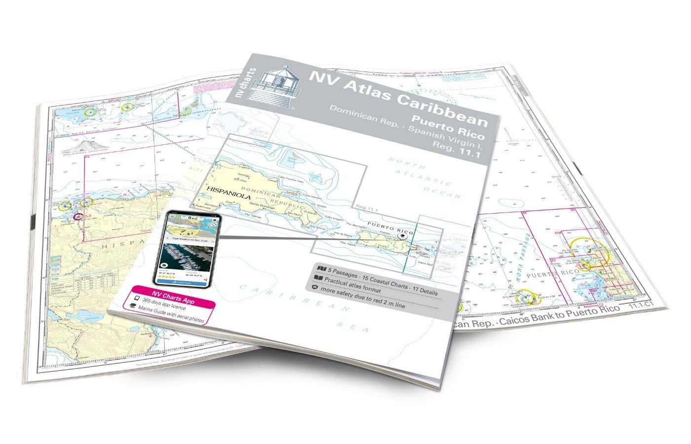
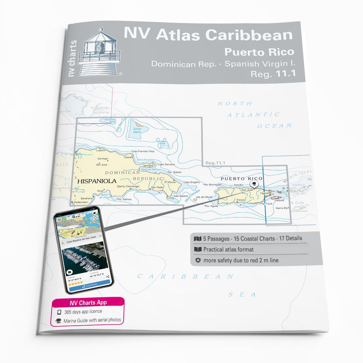
With the NV Charts Caribbean 11.1 Atlas you have the perfect companion for the Dominican Republic, Puerto Rico and the Spanish Virgin Islands at your side. Thanks to the clear layout, you can quickly find accesses, harbours and anchorages and are informed of navigationally important details that also appear in the NV Charts app. The chart series impresses with its optimal dimensions and balanced sheet sections.

Regions overview

The Dominican Republic attracts visitors with its culture, history and nature. The capital Santo Domingo is the oldest continuously populated European city in America and is known for its colonial architecture and history. Humpback whales can be observed in Samaná Bay during the winter months.
To Puerto Rico you should not miss the lively, modern city of San Juan. The El Yunque National Forest (the only tropical rainforest in the US National Forest System) is also worth a visit. And finally, the bioluminescent bays that light up at night offer a magical and dreamlike natural spectacle.
The Spanish Virgin Islands are less touristy than the US or British Virgin Islands, which means peace and quiet, but also less infrastructure. Vieques is known for its unspoilt beaches and the bioluminescent Mosquito Bay. The island of Culebra is home to the breathtaking Flamenco Beach and a very tranquil island life.
In the winter months, the north coast of the islands can be very rough. In general, you should pay particular attention to the weather conditions - especially in the hurricane season - and inform yourself in advance about the entry requirements.

Tip: With the charts NV Charts Caribbean 12.1 to 12.3 you can also explore the eastern Virgin Islands, Leeward Islands and Windward Islands.

This chart set includes

  • 5 passage general
  • 15 territory cards
  • 17 detailed maps
  • Digital charts for navigation program and NV Charts App 356-day licence
  • In English language
  • Fulfils all legal requirements for current paper charts on board

All advantages at a glance

  • NV Atlas chart format: Practical, handy atlas format, opened in A2, closed in A3 format, flat staple binding in the centre - makes it easy to work with the course triangle
  • NV Charts app: including access code to the digital nautical charts of the purchased area in the NV Charts app with 365-day licence, for offline navigation with the app on iOS, Android, PC, Mac or in the web browser, comprehensive harbour manual
  • Extremely detailed: Nautical charts based on data from official surveys and own surveys, particularly detailed outside the main fairways
  • Optimised for recreational boating

Functions of the NV Charts app

  • Flexible autorouting
  • Satellite overlay
  • Augmented reality
  • VMG (Velocity Made Good)
  • BoatView harbour guide
  • Track recording
  • AIS connection and much more.
Find out more now
Properties "NV Charts Caribbean 11.1 - Puerto Rico - Dominican Republic - Spanish Virgin Islands"
App License: NV Charts App
Region: Caribbean
Size: Atlas
Properties "NV Charts Caribbean 11.1 - Puerto Rico - Dominican Republic - Spanish Virgin Islands"
App License: NV Charts App
Region: Caribbean
Size: Atlas

0 of 0 reviews

Average rating of 0 out of 5 stars

Leave a review!

Share your experiences with other customers.


Area preview

With the help of our area preview, you can get an impression of which geographical region the product deals with or which areas a nautical chart covers.

Other customers bought also

Gebietsvorschau für Cruising Guide to Puerto Rico öffnen
Cruising Guide to Puerto Rico
and the Spanish Virgin Islands. Detailed piloting instructions GPS waypoints approaches and routes anchorages services and many more. 50 full colour charts 3rd. edition 2015.

€63.00*
Gebietsvorschau für NV Charts Caribbean 12.1 - Virgin Islands öffnen
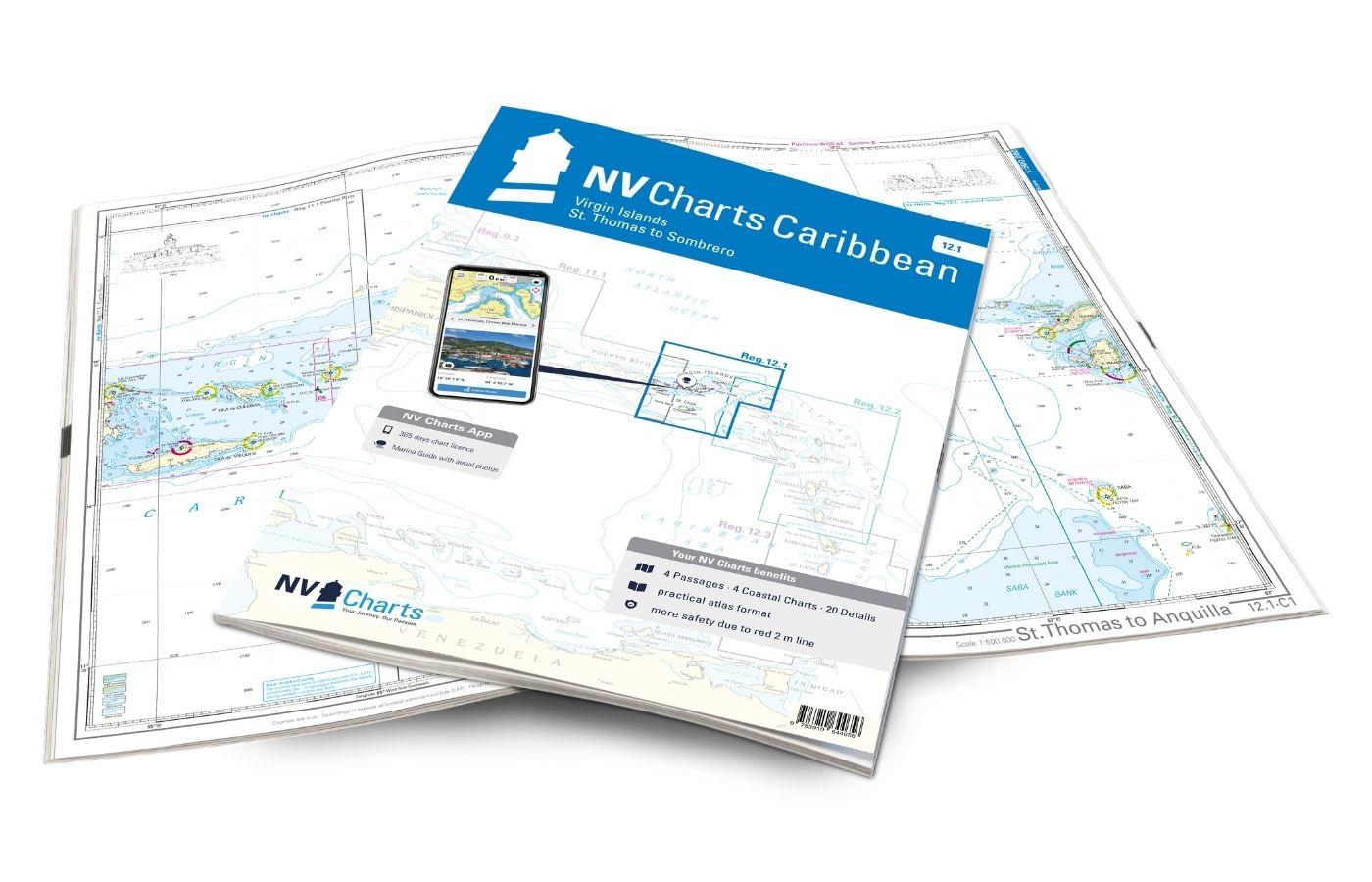
NV Charts Caribbean 12.1 - Virgin Islands
With the NV Charts Caribbean 12.1 you have the perfect companion for the Virgin Islands from St Thomas to Sombrero at your side. Thanks to the clear layout, you can find approaches, harbours and

€94.99*
Logbuch / Schiffstagebuch NV
The NV Logbook / Ships Diary with the officially prescribed page numbering is clear and practical.The clear division for navigation data with time course sm and remarks on the course of the voyage suc

€15.90*
Gebietsvorschau für NV Charts Caribbean 12.2 - Leeward Islands öffnen
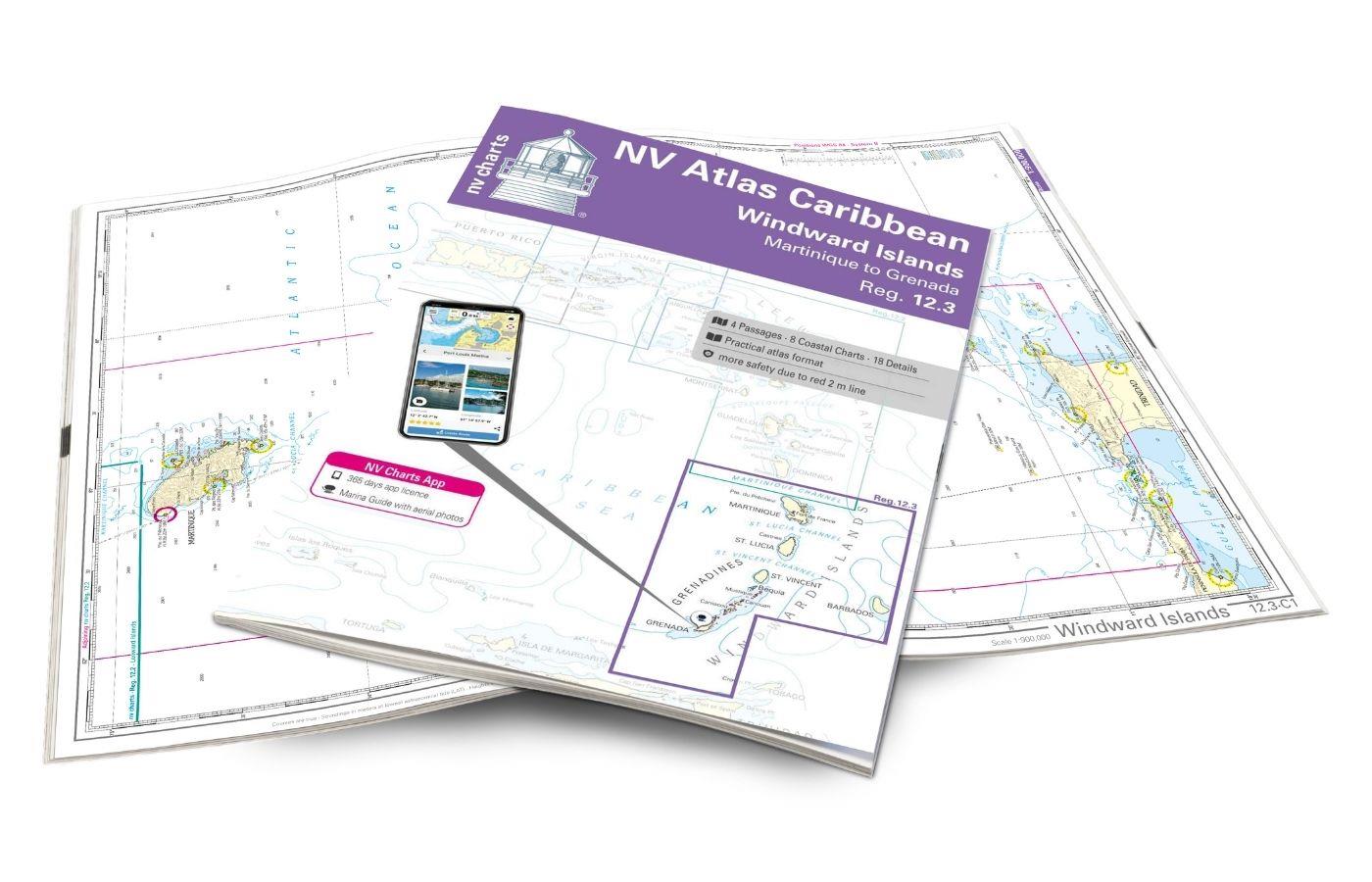
NV Charts Caribbean 12.2 - Leeward Islands
With the NV Charts Caribbean 12.2 Atlas  you have the perfect companion for the Leeward Islands from Anguilla to Dominica at your side. Thanks to the clear layout, you can find approaches, h

€94.99*

Related products to this item

Gebietsvorschau für NV Charts Caribbean 12.1 - Virgin Islands öffnen
NV Charts Caribbean 12.1 - Virgin Islands
With the NV Charts Caribbean 12.1 you have the perfect companion for the Virgin Islands from St Thomas to Sombrero at your side. Thanks to the clear layout, you can find approaches, harbours and

€94.99*
Gebietsvorschau für NV Atlas 9.3, Bahamas South East - Cat & Long Island - Rum Cay to Turks & Caicos öffnen
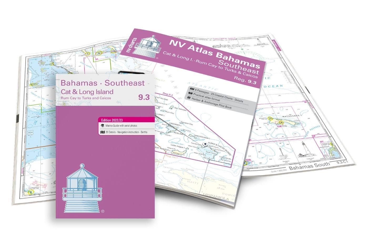
NV Atlas 9.3, Bahamas South East - Cat & Long Island - Rum Cay to Turks & Caicos
The NV Charts Bahamas 9.3 Atlas is the perfect companion for the southern Bahamas and the Turks and Caicos Islands . Thanks to the clear layout, the recreational skipper can quickly find approach

€74.99*
Gebietsvorschau für NV Charts Bermuda 16.1 - Passages US East Coast - Caribbean - Europe öffnen
NV Charts Bermuda 16.1 - Passages US East Coast - Caribbean - Europe
With the NV Charts Bermuda 16.1 Atlas you have the right companion for the US East Coast - Caribbean - Europe passages at your side. Thanks to the clear layout, you can find accesses, harbours an

€69.80*
Gebietsvorschau für Cruising Guide to the Virgin Islands öffnen
Cruising Guide to the Virgin Islands
The Cruising Guide to the Virgin Islands   This Cruising Guide covers the Virgin Islands including all US and British Virgin Islands.This edition is packed with the latest information o

€45.95*
Gebietsvorschau für NV Charts Caribbean 12.2 - Leeward Islands öffnen
NV Charts Caribbean 12.2 - Leeward Islands
With the NV Charts Caribbean 12.2 Atlas  you have the perfect companion for the Leeward Islands from Anguilla to Dominica at your side. Thanks to the clear layout, you can find approaches, h

€94.99*
Gebietsvorschau für NV Charts Bahamas 9.2 - Central, Andros to Exumas & Eleuthera Islands öffnen
NV Charts Bahamas 9.2 - Central, Andros to Exumas & Eleuthera Islands
The NV Charts Bahamas 9.2 Atlas  is the right companion for the Central Bahamas: Andros to Exumas and Eleuthera Islands . Thanks to the clear layout, the recreational skipper can quickly find app

€74.99*

Similar products

Gebietsvorschau für NV Charts Cuba 10.1 - Northeast Cuba, Cabo Maisi to Varadero öffnen
NV Charts Cuba 10.1 - Northeast Cuba, Cabo Maisi to Varadero
Explore Cuba's north-east: the NV Charts Cuba 10.1 Atlas accompanies you from Cabo Maisi to Varadero . Thanks to the clear layout, you can quickly find accesses, harbours and anchorages and are i

€94.99*
Gebietsvorschau für NV Charts Pilot 6 - US East Coast, Maine to Caribbean • Bermuda öffnen
NV Charts Pilot 6 - US East Coast, Maine to Caribbean • Bermuda
The Pilot 6 is a planning chart for the east coast of the USA. The Antilles, Cuba and the Caribbean Sea can also be found on this chart.This folding chart consists of two overview charts:Chart 1, scal

€24.99*
Gebietsvorschau für NV Charts Caribbean 12.1 - Virgin Islands öffnen
NV Charts Caribbean 12.1 - Virgin Islands
With the NV Charts Caribbean 12.1 you have the perfect companion for the Virgin Islands from St Thomas to Sombrero at your side. Thanks to the clear layout, you can find approaches, harbours and

€94.99*