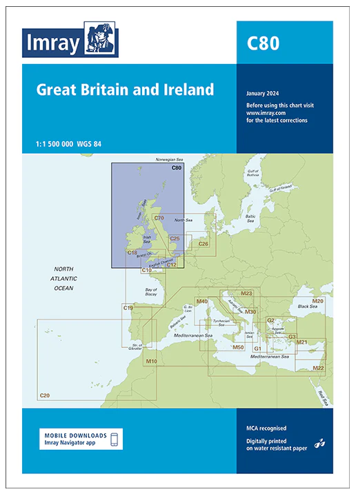
IMRAY CHART C80

Chart ID: ICC80-2
Scale: 1:500.000

€34.90*


Product number: 30590

Description

British Isles

This map is a new addition to Imrays C series provides an overview of Great Britain Ireland and neighbouring islands including Orkney Faroe Islands and Shetland.
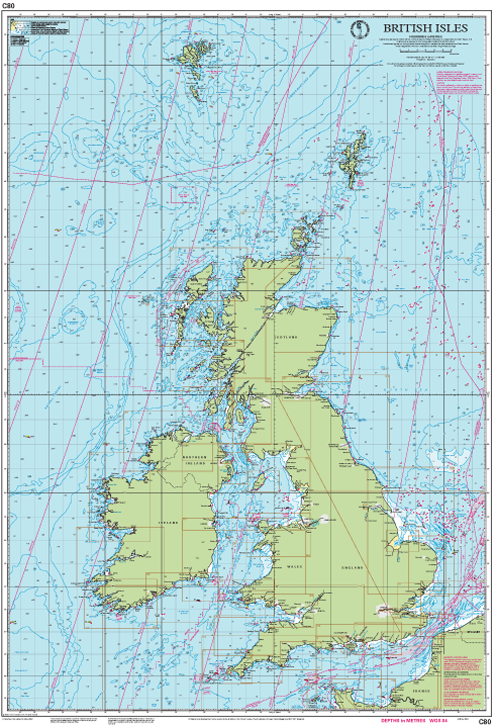
Imray Chart C 80 - preview

Related products to this item

Related products to this item

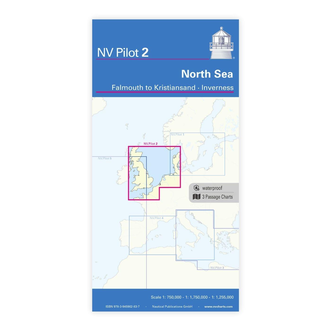
NV Charts Pilot 2, North Sea - Falmouth to Kristiansand - Inverness
NV Charts Pilot 2, North Sea - Falmouth to Kristiansand - InvernessThe Pilot 2 from NV Charts is the planning chart that is needed for the North Sea. The west coast of Denmark, the German North Sea an

€24.99*
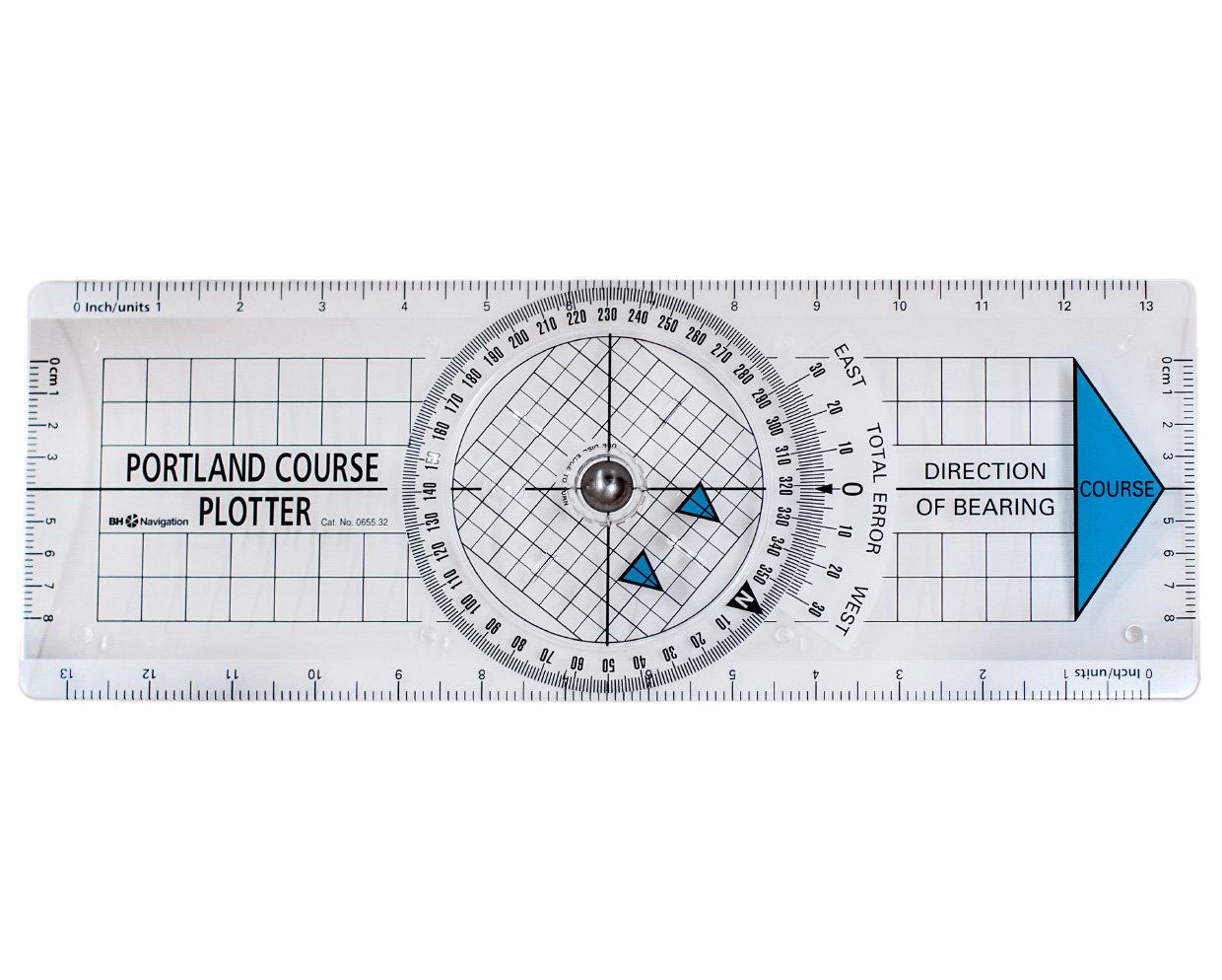
Portland Course Plotter 655.32
(Formerly: Breton plotter) Easy-to-use course device with rotating rose. It is placed in the direction of the course or bearing and the grid of the rose is turned parallel to the nearest meridian or p

€22.90*

Reviews

0 of 0 reviews

Leave a review!

Share your experiences with other customers.