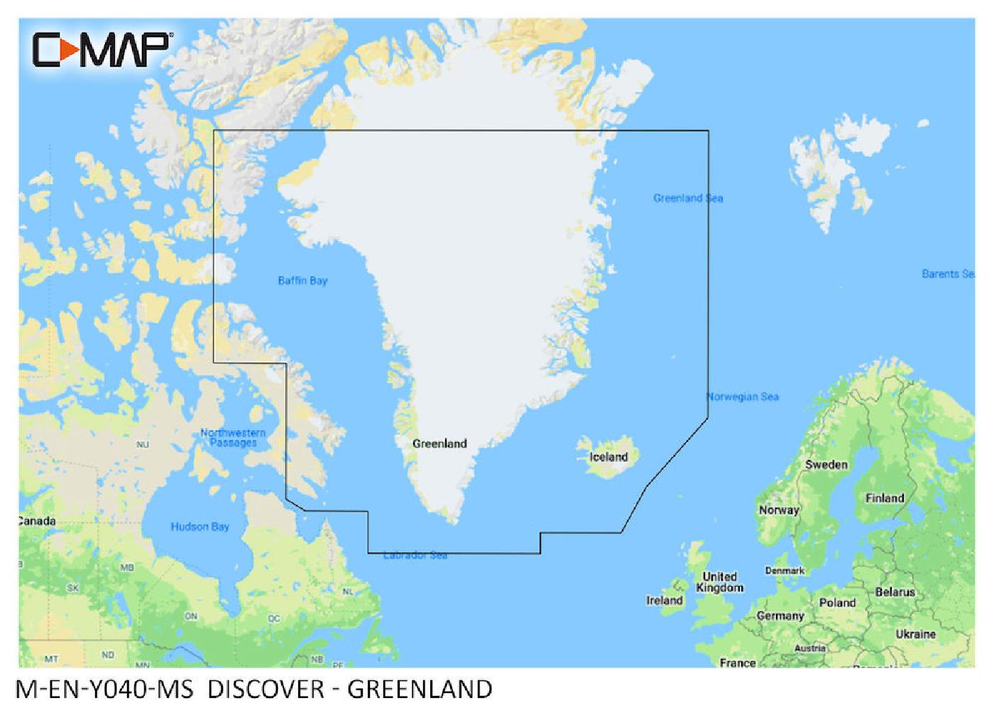
C-MAP Discover Greenland M-EN-Y040
Description
"New huge Continental coverage with all chart information and tide details in MAX-N+"" format for Greenland. (However without the satellite imagery oblique aerial imagery and raster charts usually found in the ""+"" format). Suitable many N"
Area preview
With the help of our area preview, you can get an impression of which geographical region the product deals with or which areas a nautical chart covers.
Other customers bought also
Reviews
Login


