C-MAP Discover Skandinavien (Schweden, Norwegen, Finnland - Ostsee u. Binnengewässer) EN-Y055
Description
Electronic nautical chart for Scandinavian coasts and inland areas for use with modern chartplotters from Lowrance Simrad or B&G
Further development of C-MAP a modern vector chart for travelling to the holiday areas in Norway Sweden Finland the three Baltic States and Poland to discover the coasts of the Baltic Sea and the numerous rivers lakes and canals there with motorboats and sailing yachts. Huge area!
Coverage
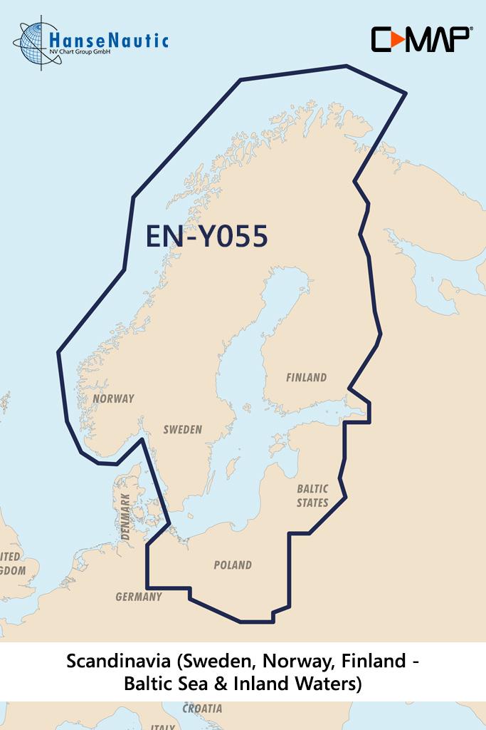
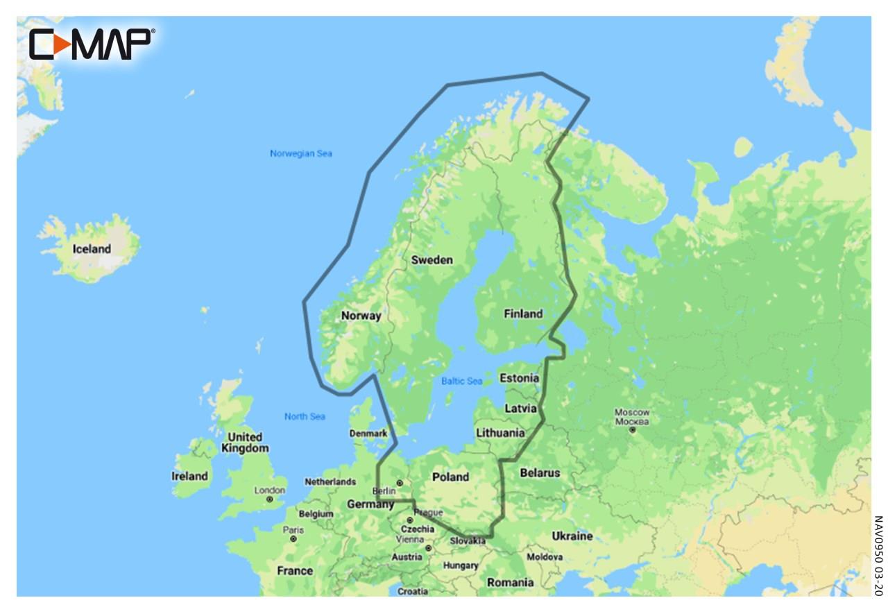
The C-MAP Discover Scandinavia is a Continental coverage bringing together on one map a very large maritime area in the Baltic Sea and the inland territories of Sweden Finland and Poland. The EN-Y055 covers these coastal sections:
- Norwegian Atlantic coast
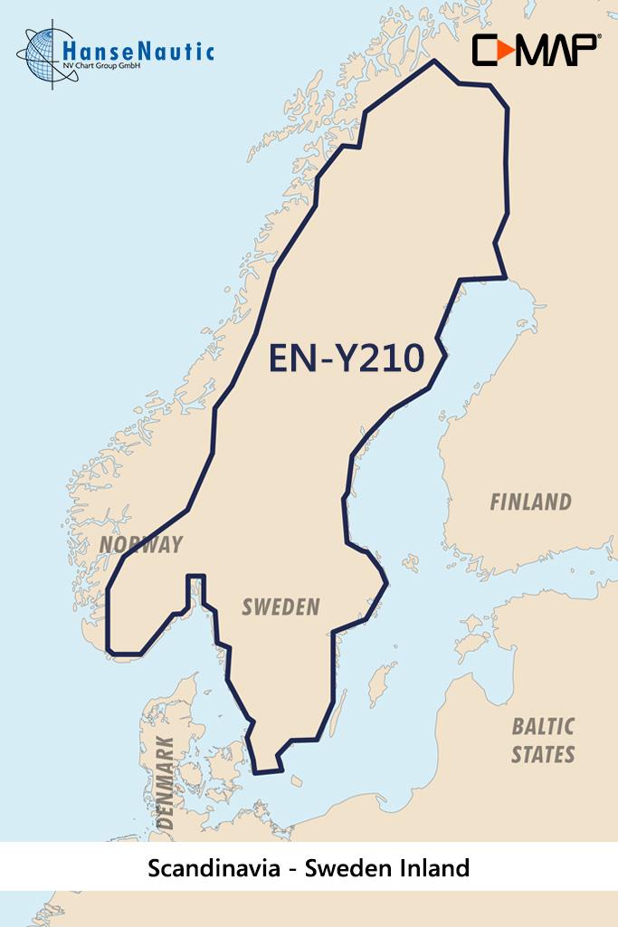
- Swedish west coast south coast and east coast up to Stockholm
- Bothnian Gulf in the north of the Baltic Sea
- Finnish Gulf between Estonia St. Petersburg and Finland
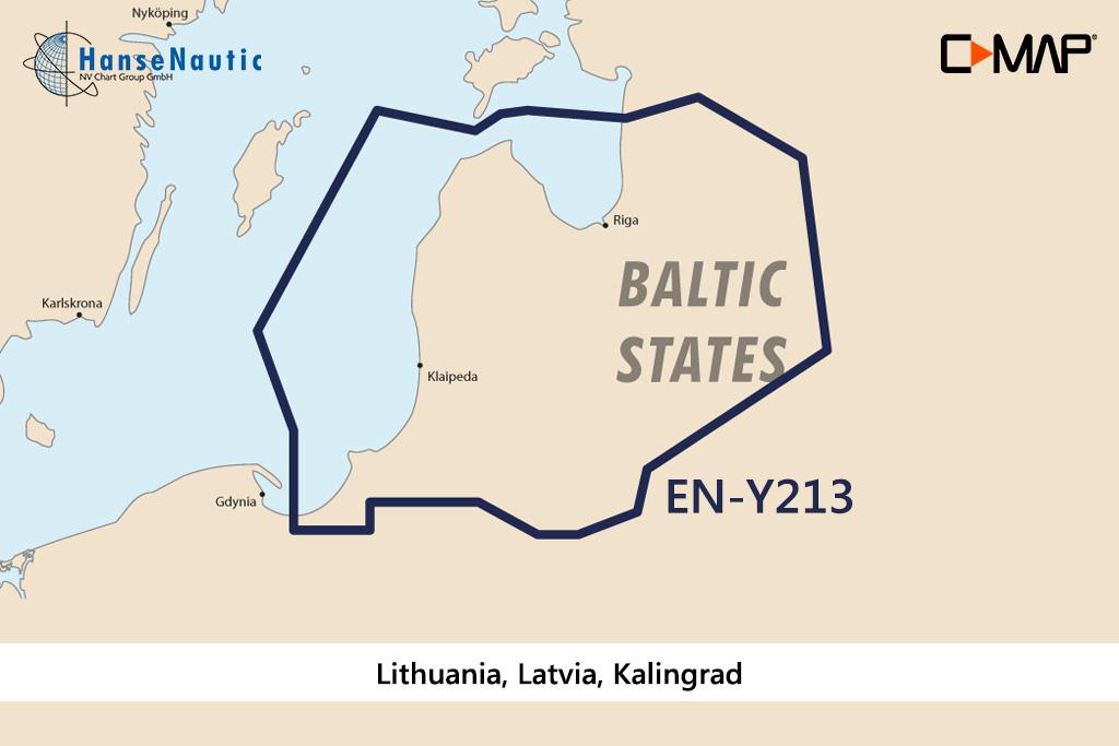
- Baltic Sea coast of Latvia Lithuania and Poland
- Inland waters in Finland with lake districts and canals
- Götakanal with Vänern Vättern and Mälaren
The electronic nautical chart EW-Y055 is the right choice for extensive voyages in Scandinavia with frequent changes of district. The long Atlantic coast of Norway with fjords and archipelagos between Oslo and North Cape is covered as well as the entire Swedish coast and the waters of Finland and the Baltic States.
Media
This C-MAP chartplotter chart for Finland Sweden and Norwayis supplied on an mSD media which is included in an SD card adapter.
Features of the C-MAP Discover
The electronic nautical charts C-MAP Discover are modern vector charts for chartplotters on pleasure boats. They contain all nautical information and complete set of navigational indications. With these chartplotters you can plan your voyages on board keep track while cruising and zoom in to details for entering harbours.
Discover charts from C-MAP have the following features:
- All sea charts of the selected area from harbour plan to oversailer
- High resolution bathymetric data shows depth contours condensed to 30cm intervals. This feature can be shown or hidden.
- Tide data incl. high and low tide times as well as current data - A tide calendar and a current atlas are integrated into the chart
- Easy Routing is the function developed by C-MAP which calculates a suggested route using the nautical chart and your boat dimensions especially draught.
Compatibility
The new C-MAP Discover products launched in 2021 are also compatible with all modern chartplotters from Simrad B&G as well as Lowrance as the successor of the MAX-N+ technology. Please check the compatibility list
Revocation excluded
These nautical charts are produced by us for you on customer request in order to always provide you with the most up-to-date data. For this reason, the charts are excluded from exchange and revocation.
| Format: | mSD-Karte |
|---|---|
| Size: | Continental |
With the help of our area preview, you can get an impression of which geographical region the product deals with or which areas a nautical chart covers.
Other customers bought also
Reviews
Login

